The best cycling routes in Beaver Lodge Forest Lands
5.0
(11)
58
riders
11
rides
Touring cycling routes in Beaver Lodge Forest Lands feature an extensive multi-use trail system spanning approximately 520 hectares. The terrain includes many trails described as quite flat, built on old rail grades, making them suitable for various skill levels. The area is characterized by diverse forest ecosystems, including Douglas-fir and Western redcedar, alongside natural water features such as beaver ponds, streams, and wetlands. This landscape provides a varied environment for cyclists, from smooth paths to more winding forest trails.
Best…
Last updated: July 5, 2026
5.0
(1)
9
riders
19.3km
01:12
140m
140m
Easy bike ride. Great for any fitness level. Mostly paved surfaces. Suitable for all skill levels.
5
riders
55.0km
03:24
390m
390m
Moderate bike ride. Good fitness required. Mostly paved surfaces. Suitable for all skill levels.

Sign up for free
6
riders
Moderate bike ride. Good fitness required. Mostly paved surfaces. Suitable for all skill levels.
5.0
(3)
18
riders
19.7km
01:21
130m
130m
Easy bike ride. Great for any fitness level. Mostly paved surfaces. Suitable for all skill levels.
5.0
(1)
10
riders
18.3km
01:15
230m
240m
Moderate bike ride. Good fitness required. Mostly paved surfaces. Suitable for all skill levels.
Get access to more routes and recommendations from other explorers.
Sign up for free
Already have an account?
Our route recommendations are based on thousands of hikes, rides, and runs completed by other people on komoot.
Start today with a free account
Your next adventure awaits.
Login or Signup
Popular around Beaver Lodge Forest Lands
Tips from the Community

The Beaver Lodge Forest Lands are located on the edge of Campbell River in BC. Visitor can enjoy the many trails that crisscross the forest allowing access to hiking and mountain biking. The area was heavily logged in the past but it is now overseen by a land trust and has become a haven for a wide range of flora and fauna.
0
0

Frank James Park is a scenic waterfront park situated along the banks of the Campbell River. The park is famous for hosting its annual chainsaw driftwood carving competition. Visitors can enjoy walking through the grounds and viewing numerous striking sculptures from past events that are scattered throughout the park. For visitor convenience, the park provides amenities including washrooms, picnic tables, and benches.
0
0
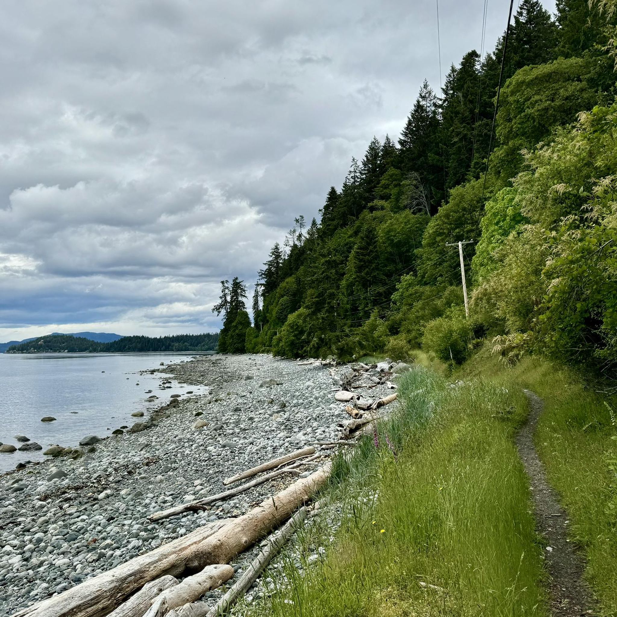
The Rotary Seawalk is a 6-kilometer path that runs along the shores of the Discovery Passage. Trail users can catch views of cruise liners, cargo ships, sailboats, and fishing vessels as they stroll or ride along the path. Picnic tables, benches, grassy lawns, and sandy beaches are available all along the route.
0
0
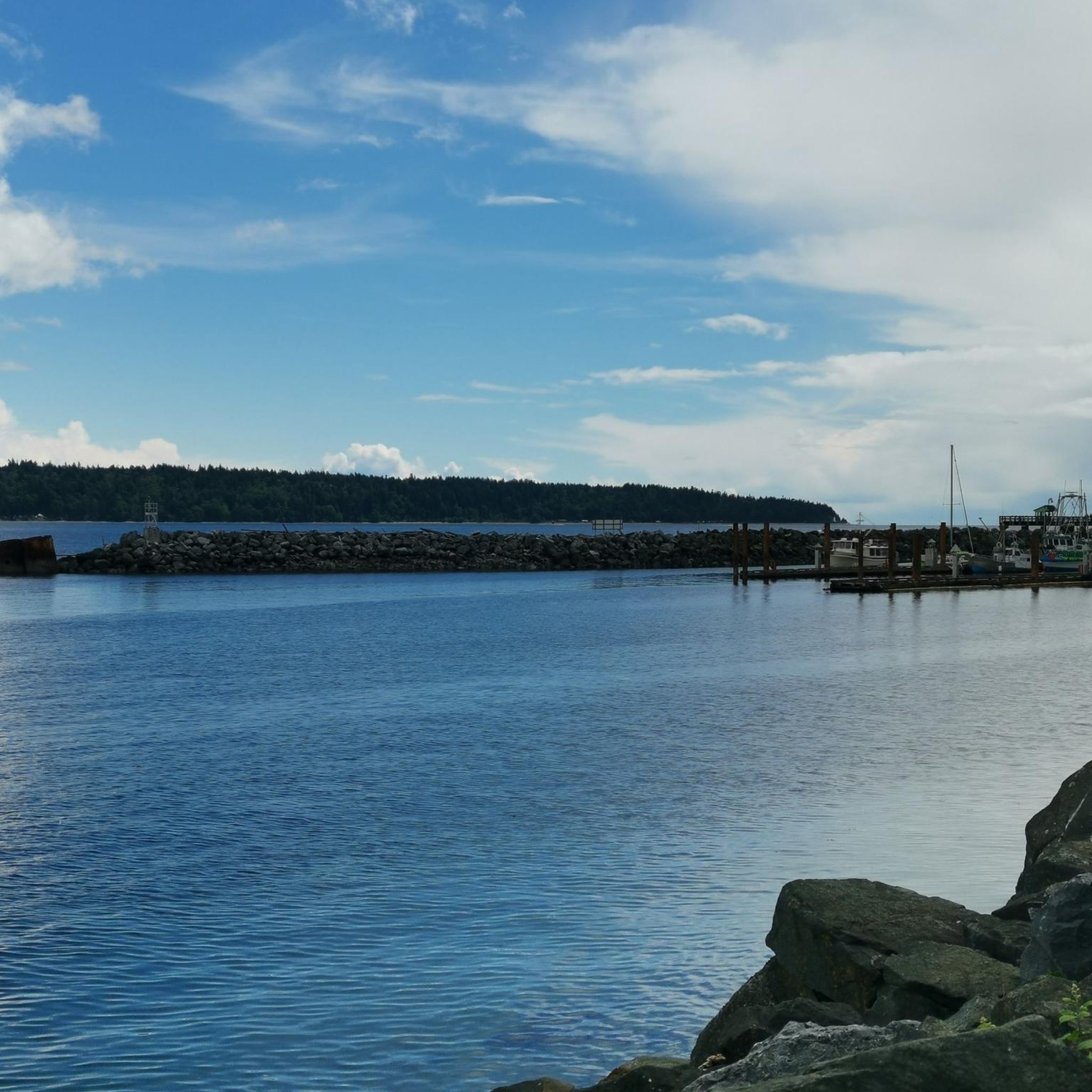
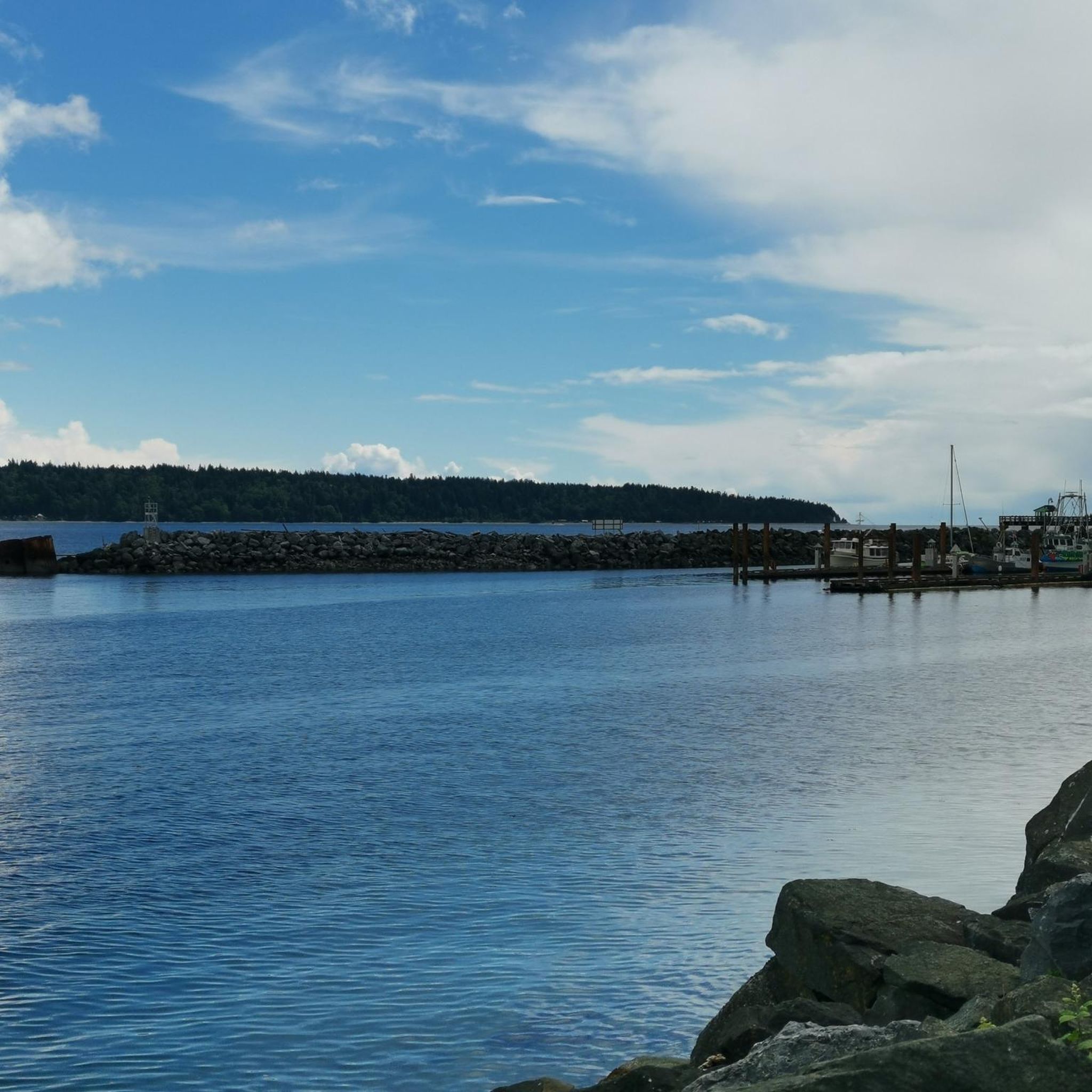
Ken Forde Boat Ramp Park is a small waterfront park that offers great views of the bay, a boat ramp, and a picnic area. The beach is a great place to check out tide pools during low tide.
0
0

Anywhere from upper CR it is a downhill ride smooth etc. Great ride
0
0

Frequently Asked Questions
How many touring cycling routes are available in Beaver Lodge Forest Lands?
There are 11 touring cycling routes documented in Beaver Lodge Forest Lands on komoot. These routes offer a variety of experiences, from easy, flat paths to more moderate, winding trails.
What kind of terrain can I expect on the touring cycling routes?
The terrain in Beaver Lodge Forest Lands is quite varied. Many trails are described as quite flat and built on old rail grades, making them suitable for relaxed rides. However, more adventurous cyclists can find rooty, winding trails. Hybrid bikes are generally suitable for the main access roads, while front suspension bikes might be preferred for some of the rougher side trails.
Are there any easy touring cycling routes suitable for beginners or families?
Yes, Beaver Lodge Forest Lands offers several easy routes. Trails built on old rail grades are particularly flat and accessible. An excellent option for an easy ride is the Rotary Seawalk – Graffiti Rock loop from Campbell River, which is 19.3 km long and takes about 1 hour 11 minutes to complete.
What natural features can I see while cycling in Beaver Lodge Forest Lands?
Cyclists can enjoy a rich tapestry of natural beauty. The area features diverse forest ecosystems with tall cedars, Douglas-fir, and Sitka spruce, some exhibiting old-growth characteristics. You'll also find scenic beaver ponds, streams, wetlands, and marshes. The Huckleberry and Butterfly trails are specifically noted for their proximity to bodies of water.
Are there any longer or more challenging touring cycling routes?
For those seeking a longer or more challenging ride, Beaver Lodge Forest Lands has moderate options. The Graffiti Rock – Picnic Area With Ocean View loop from Campbell River is a moderate 55.0 km path that offers varied terrain and opportunities for ocean views. Another moderate option is the Forest Singletrack Trail – Quathiaski Cove Ferry Terminal loop from Campbell River, covering 41.1 km through forest ecosystems.
What do other touring cyclists say about the routes in Beaver Lodge Forest Lands?
The routes in Beaver Lodge Forest Lands are highly rated by the komoot community, with an average score of 5.0 stars from 8 reviews. Cyclists often praise the extensive multi-use trail system, the diverse forest ecosystems, and the peaceful natural environment.
Are the trails in Beaver Lodge Forest Lands multi-use, and what does that mean for cyclists?
Yes, the trails are multi-use, meaning cyclists will share paths with hikers, walkers, and even horseback riders. This fosters a friendly community atmosphere, but it's important to be mindful and share the trails respectfully with other users.
Are there any circular touring cycling routes in the area?
Many of the touring cycling routes in Beaver Lodge Forest Lands are designed as loops, providing a convenient circular experience. For example, the Rotary Seawalk – Graffiti Rock loop from Willow Point Greenway offers a 19.7 km circular ride, and the Forest Singletrack Trail loop from Grouse Island is an 18.3 km moderate loop.
Is there parking available for cyclists at Beaver Lodge Forest Lands?
Yes, the park provides amenities such as parking areas at most entrances and junctions, including access points from Trask Road and South McPhedran Road. These facilities make it convenient for cyclists to access the trail network.
What kind of wildlife might I encounter while cycling?
Beaver Lodge Forest Lands is a haven for wildlife. Cyclists might spot blacktail deer, black bears, cougars, bald eagles, owls, great blue herons, ducks, beavers, and muskrats. It's also a popular spot for birdwatching, so keep an eye out for various bird species.
Are there any historical aspects to Beaver Lodge Forest Lands?
Yes, the Forest Lands have historical significance. They were established in 1931 through a donation from the Elk River Timber Company for experimental reforestation and forest management. It was one of British Columbia's first large-scale plantations, and the research conducted here influenced planting guidelines across the province.
Are there amenities like washrooms or picnic areas along the routes?
For visitor convenience, Beaver Lodge Forest Lands offers amenities such as washrooms, picnic tables, and benches at various points. Trail maps are also available at most entrances and junctions to assist with navigation.
Most popular routes in Beaver Lodge Forest Lands

Get inspired with the komoot mobile app


Explore more
Browse the best Cycling routes in other regions.
