The best road cycling routes around Lac-Ashuapmushuan
4.9
(8)
285
riders
4
rides
Road cycling routes around Lac-Ashuapmushuan are set within the Ashuapmushuan Wildlife Reserve, a vast area characterized by boreal forest, numerous lakes, and rivers. The terrain primarily features gentle to moderate elevation changes, with some sections offering longer, sustained climbs. The region's proximity to the Véloroute des Bleuets, a 256-km cycling circuit around Lac Saint-Jean, provides access to well-maintained paths and varied scenery through forests and farmlands. Road conditions vary, with dedicated bike paths and some sections on roads with traffic.
…Last updated: August 25, 2026
5.0
(1)
43
riders
95.0km
04:13
350m
350m
Moderate road ride. Good fitness required. Mostly well-paved surfaces and easy to ride.
5.0
(2)
33
riders
47.5km
01:54
190m
190m
Easy road ride. Great for any fitness level. Mostly well-paved surfaces and easy to ride.

Sign up for free
33
riders
65.7km
02:51
400m
400m
Moderate road ride. Good fitness required. Mostly well-paved surfaces and easy to ride.
33
riders
53.5km
02:31
140m
140m
Moderate road ride. Good fitness required. Mostly well-paved surfaces and easy to ride.
17
riders
49.8km
02:15
330m
330m
Moderate road ride. Good fitness required. Mostly well-paved surfaces and easy to ride.
Our route recommendations are based on thousands of hikes, rides, and runs completed by other people on komoot.
Start today with a free account
Your next adventure awaits.
Login or Signup
Popular around Lac-Ashuapmushuan
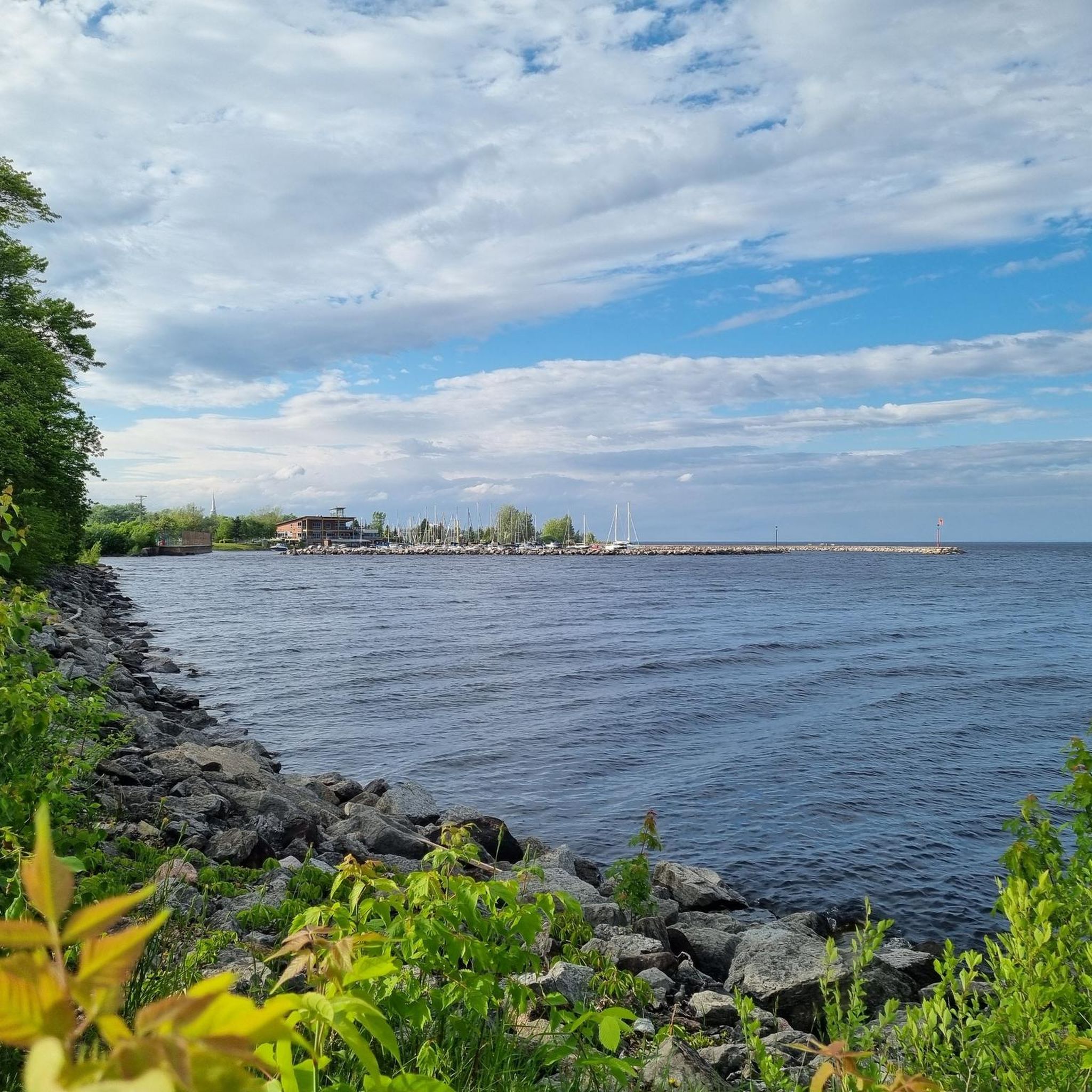
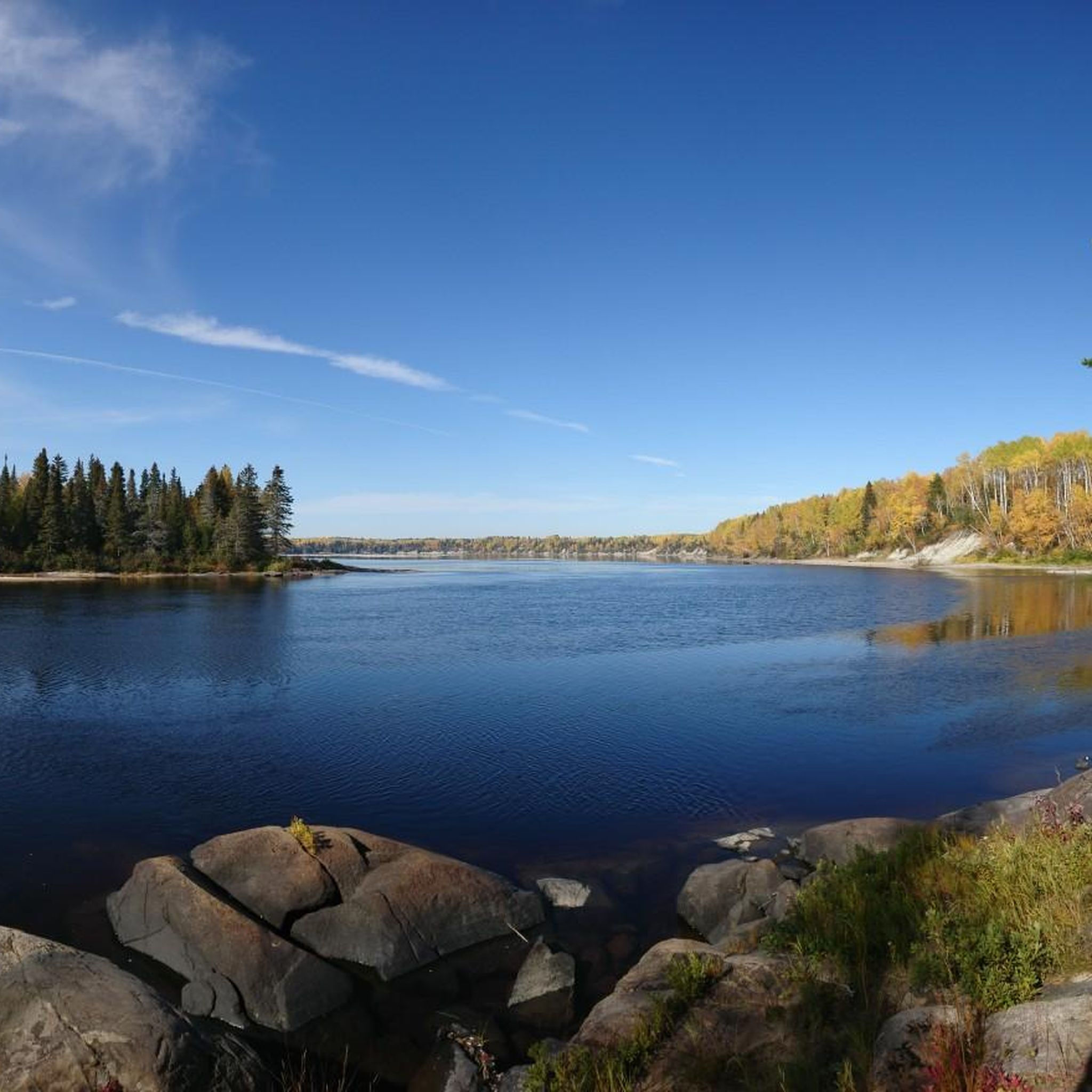
Tips from the Community

The path allows you to walk right next to the river, which accompanies you with its sound. Footbridges allow you to cross from one bank to the other.
0
0
Frequently Asked Questions
What kind of terrain can I expect on road cycling routes around Lac-Ashuapmushuan?
The terrain around Lac-Ashuapmushuan primarily features gentle to moderate elevation changes. While many routes offer a smooth experience, some sections include longer, sustained climbs, providing a varied challenge for road cyclists. The region is characterized by boreal forests, the Ashuapmushuan River, and the expansive Lac Saint-Jean area.
Are there road cycling routes suitable for beginners or those looking for an easier ride?
Yes, there are options for various ability levels. For an easier ride, consider routes like the Évacuateur de crues 7 loop from Métabetchouan, which is an easy 29.5 miles (47.5 km) path, offering a less strenuous option.
What are some notable landmarks or scenic viewpoints I can see while cycling in the region?
The region offers several natural and historical points of interest. You can explore the Bleuets Cycling Route – Pointe-Taillon National Park, or discover waterfalls like the View of Chute Ouiatchouan and the Trou de la Fée Waterfall and Hydroelectric Ruins. The area is also rich in history, with archaeological sites and remnants of an 18th-century trading post.
What is the best time of year for road cycling around Lac-Ashuapmushuan?
The best time for road cycling in the Lac-Ashuapmushuan region is typically during the warmer months, from late spring through early autumn. This period offers the most favorable weather conditions and ensures that the dedicated bike paths and roads are clear of snow and ice, providing optimal cycling conditions.
Are there any family-friendly road cycling options available?
While specific routes are not designated as 'family-friendly' in the data, the region's proximity to the Véloroute des Bleuets, which features dedicated bike paths, offers safer and more enjoyable sections for families. The easier routes, such as the Évacuateur de crues 7 loop from Métabetchouan, could also be suitable for families with some cycling experience.
What do other road cyclists enjoy most about cycling in Lac-Ashuapmushuan?
The area is highly rated by the komoot community, with an average score of 5.0 stars. Reviewers often praise the comprehensive loop experiences, the varied terrain, and the opportunity to cycle through extensive boreal forests and along the Ashuapmushuan River.
Are there any circular road cycling routes in the area?
Yes, many of the road cycling routes around Lac-Ashuapmushuan are designed as loops. Examples include the Mouth of the Ouellet River – Fountain in Parc Sacré-Cœur loop from Chambord, which is a 59.0-mile (95.0 km) route, and the Mouth of the Ouellet River loop from Mont-Plaisant, a 40.6-mile (65.3 km) trail.
What is the typical duration for road cycling routes in this region?
Route durations vary depending on length and difficulty. For instance, the moderate Mouth of the Ouellet River – Fountain in Parc Sacré-Cœur loop from Chambord typically takes around 4 hours and 15 minutes, while the easier Évacuateur de crues 7 loop from Métabetchouan can be completed in about 2 hours.
Are there options for food, drinks, or accommodation along the road cycling routes?
While specific cafes or accommodations directly on every route are not detailed, the region is part of the larger Saguenay-Lac-Saint-Jean area, which is well-equipped for tourists. Cyclists on the Véloroute des Bleuets, which passes nearby, will find amenities in the towns and villages along its circuit. It is advisable to plan your stops in advance, especially when venturing into more remote sections of the Ashuapmushuan Wildlife Reserve.
How many road cycling routes are available around Lac-Ashuapmushuan?
There are several road cycling routes available around Lac-Ashuapmushuan, with komoot listing at least 4 distinct routes in this guide. These routes offer a range of distances and difficulties, from easy loops to moderate challenges.
Is public transport available to access road cycling routes in the Lac-Ashuapmushuan area?
Access to the more remote parts of the Ashuapmushuan Wildlife Reserve is primarily by car, especially for reaching specific starting points of routes. However, for sections of the Véloroute des Bleuets, which is a major cycling network in the broader region, public transport options might be available to larger towns around Lac Saint-Jean. It's recommended to check local transport services for connections to specific starting points.
Are there any permits required for road cycling in the Lac-Ashuapmushuan region?
Road cycling on public roads and dedicated bike paths like sections of the Véloroute des Bleuets generally does not require specific permits. However, if your route takes you into designated wildlife reserves or national parks, there might be entry fees or specific regulations. Always check with the Ashuapmushuan Wildlife Reserve or relevant park authorities if you plan to cycle within their boundaries.
Most popular routes around Lac-Ashuapmushuan
Most popular attractions around Lac-Ashuapmushuan

Get inspired with the komoot mobile app


Explore more
Browse the best Road cycling routes in other regions.
