The best running trails around Cascapédia–Saint-Jules
29
runners
3
runs
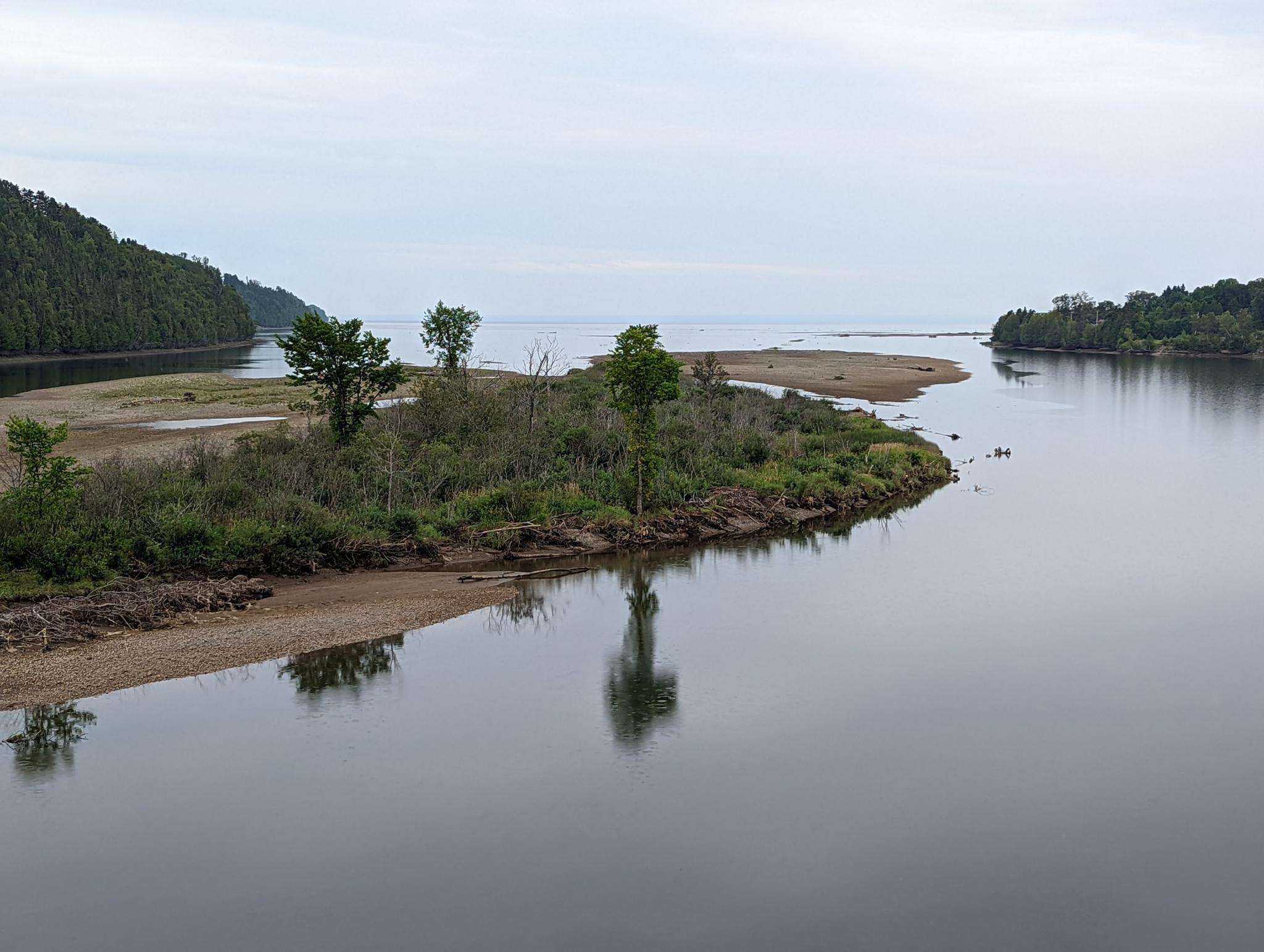
Jogging around Cascapédia–Saint-Jules offers diverse landscapes for outdoor activity. The region is characterized by the presence of the Cascapédia River and Anger River, providing scenic riverside routes. To the south, the Bay of Chaleur offers coastal running opportunities, while the majestic Chic-Choc Mountains form a backdrop to the north, bordering Gaspésie National Park. This varied terrain includes both gentle paths and more challenging mountain trails.
Best jogging routes around Cascapédia–Saint-Jules
- The most popular jogging route is Plage Muncipale de Maria…
Last updated: June 29, 2026
9
runners
10.9km
01:09
50m
50m
Moderate run. Good fitness required. Mostly paved surfaces. Suitable for all skill levels.
7
runners
6.25km
00:39
40m
40m
Moderate run. Good fitness required. Mostly paved surfaces. Suitable for all skill levels.

Sign up for free
8
runners
12.3km
01:58
590m
590m
Hard run. Very good fitness required. Sure-footedness, sturdy shoes and alpine experience required.
5
runners
17.2km
02:33
640m
640m
Hard run. Very good fitness required. Sure-footedness, sturdy shoes and alpine experience required.
Our route recommendations are based on thousands of hikes, rides, and runs completed by other people on komoot.
Start today with a free account
Your next adventure awaits.
Login or Signup
Frequently Asked Questions
How many running routes are available in Cascapédia–Saint-Jules?
Komoot features several running routes in the Cascapédia–Saint-Jules area, catering to various fitness levels. Currently, there are 4 detailed routes available, ranging from moderate to difficult, allowing you to explore the diverse landscapes of the region.
Are there any easy jogging routes for beginners in Cascapédia–Saint-Jules?
While the listed routes are moderate to difficult, the region's natural setting along the Cascapédia and Anger Rivers offers many flat, scenic paths ideal for easier jogs. These riverside areas provide a gentle terrain perfect for beginners or those seeking a relaxed run.
What kind of terrain can I expect on the running trails around Cascapédia–Saint-Jules?
The terrain varies significantly. You'll find riverside paths along the Cascapédia and Anger Rivers, coastal views along the Bay of Chaleur, and more challenging mountain trails within the Chic-Choc Mountains and near Gaspésie National Park. Routes like Plage Muncipale de Maria loop from Maria offer gentler coastal paths, while Mont Carleton loop from Stationnement 3e rang Ouest presents a more demanding mountain ascent.
Are there any circular running routes in the area?
Yes, many of the routes are designed as loops, offering a convenient way to start and finish at the same point. For example, the Running loop from Maria is a moderate 3.9-mile (6.3 km) circular path, and the Plage Muncipale de Maria loop from Maria also offers a longer circular option.
Can I bring my dog on the jogging trails in Cascapédia–Saint-Jules?
Many outdoor areas in Cascapédia–Saint-Jules are dog-friendly, especially along the numerous riverside paths and less formal trails. However, specific regulations may apply in protected areas like Gaspésie National Park. It's always best to check local signage or park rules regarding pets before heading out.
Are there any family-friendly running routes suitable for strollers?
For families with strollers, the flatter, wider paths along the Cascapédia and Anger Rivers are generally the most suitable. These offer a serene environment away from challenging inclines. Routes with significant elevation changes or rugged terrain, such as those in the Chic-Choc Mountains, would not be recommended for strollers.
Where can I find parking for the running trails?
Parking availability varies by trailhead. For routes like the Mont Carleton loop, parking is available at Stationnement 3e rang Ouest. For other routes, especially those starting in towns like Maria, street parking or designated public parking areas are typically available. Always check the specific route details on komoot for recommended starting points and parking information.
What are the best times of year for jogging in Cascapédia–Saint-Jules?
The region is beautiful year-round, but spring, summer, and fall offer the most pleasant conditions for jogging. Summer provides lush greenery and warmer temperatures, while autumn showcases stunning fall foliage. Winter running is possible, but trails may be covered in snow or ice, requiring appropriate gear and caution.
Are there any scenic viewpoints or natural attractions along the running routes?
Absolutely! The region is rich in natural beauty. You can enjoy majestic views of the Chic-Choc Mountains, picturesque riverside scenery along the Cascapédia and Anger Rivers, and coastal vistas along the Bay of Chaleur. The Plage Muncipale de Maria loop, for instance, offers beautiful views near the Bay of Chaleur.
What is the difficulty level of the running routes in Cascapédia–Saint-Jules?
The routes in this guide range from moderate to difficult. For example, the Running loop from Maria is a moderate option, while the Running loop from Rivière Verte and the Mont Carleton loop are considered difficult due to their longer distances and significant elevation changes.
Are there any public transport options to access the running trails?
Public transport options directly to specific trailheads may be limited in this rural region. It's generally recommended to have personal transportation to reach the starting points of most running routes. However, main roads like Route 132 and Route 299 are accessible, and some routes may be reachable from nearby towns.

Get inspired with the komoot mobile app


Explore more
Browse the best Running Trails & Routes in other regions.
