The best running trails around Area J (Copper Desert Country)
5.0
(1)
324
runners
31
runs
Jogging around Area J (Copper Desert Country) offers diverse landscapes, from desert-like shores along Kamloops Lake to high-altitude forests and serene lakes. The region's topography provides a variety of running experiences, including flat lakeside paths and more challenging trails with significant elevation changes. This geographical blend ensures routes cater to different preferences, featuring both well-established trails and sections with uneven terrain, rocks, and roots.
Best jogging routes around Area J (Copper Desert Country)
- The most popular jogging route is Overlanders…
Last updated: May 17, 2026
30
runners
12.8km
01:19
40m
40m
Moderate run. Good fitness required. Mostly paved surfaces. Suitable for all skill levels.
10
runners
Hard run. Very good fitness required. Mostly paved surfaces. Suitable for all skill levels.

Sign up for free
9
runners
7.33km
00:58
270m
270m
Moderate run. Good fitness required. Mostly accessible paths. Some sure footedness required.
9
runners
12.9km
01:40
310m
310m
Hard run. Very good fitness required. Mostly accessible paths. Some sure footedness required.
5
runners
13.6km
01:25
30m
30m
Moderate run. Good fitness required. Mostly paved surfaces. Suitable for all skill levels.
Get access to more routes and recommendations from other explorers.
Sign up for free
Already have an account?
Our route recommendations are based on thousands of hikes, rides, and runs completed by other people on komoot.
Start today with a free account
Your next adventure awaits.
Login or Signup
Popular around Area J (Copper Desert Country)

Forests, desert, wilderness - day tours in British Columbia
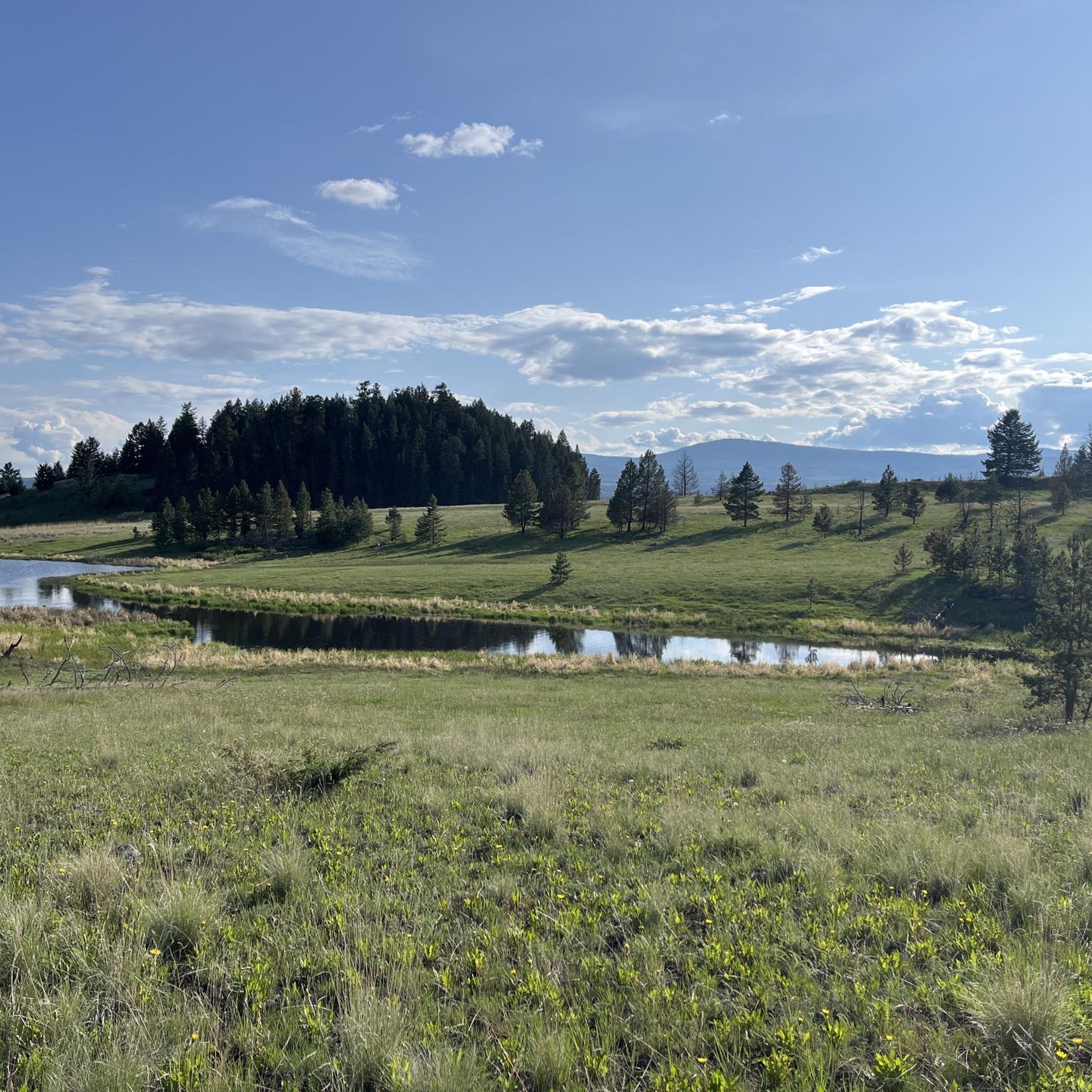
Hiking around Area J (Copper Desert Country)
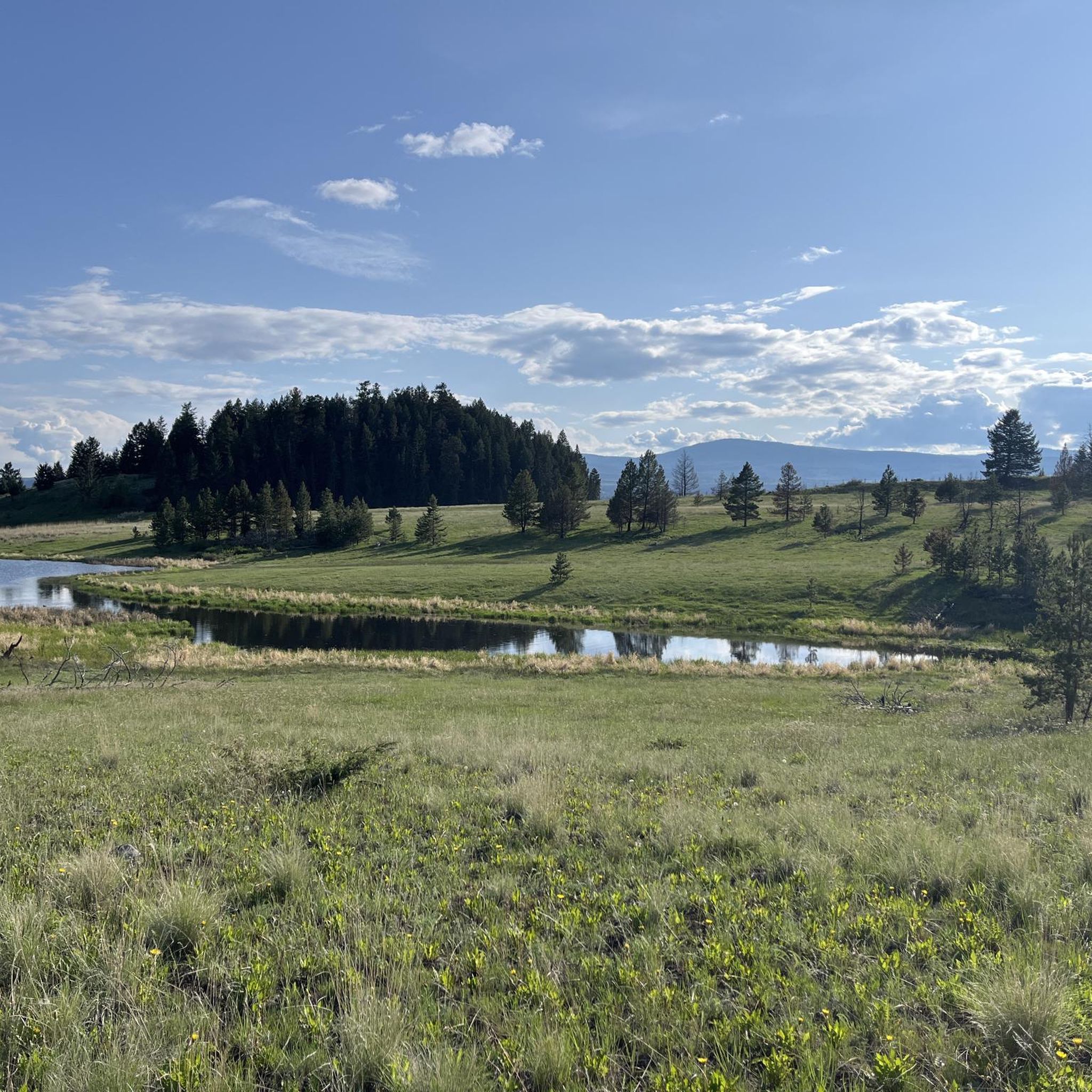
Cycling around Area J (Copper Desert Country)
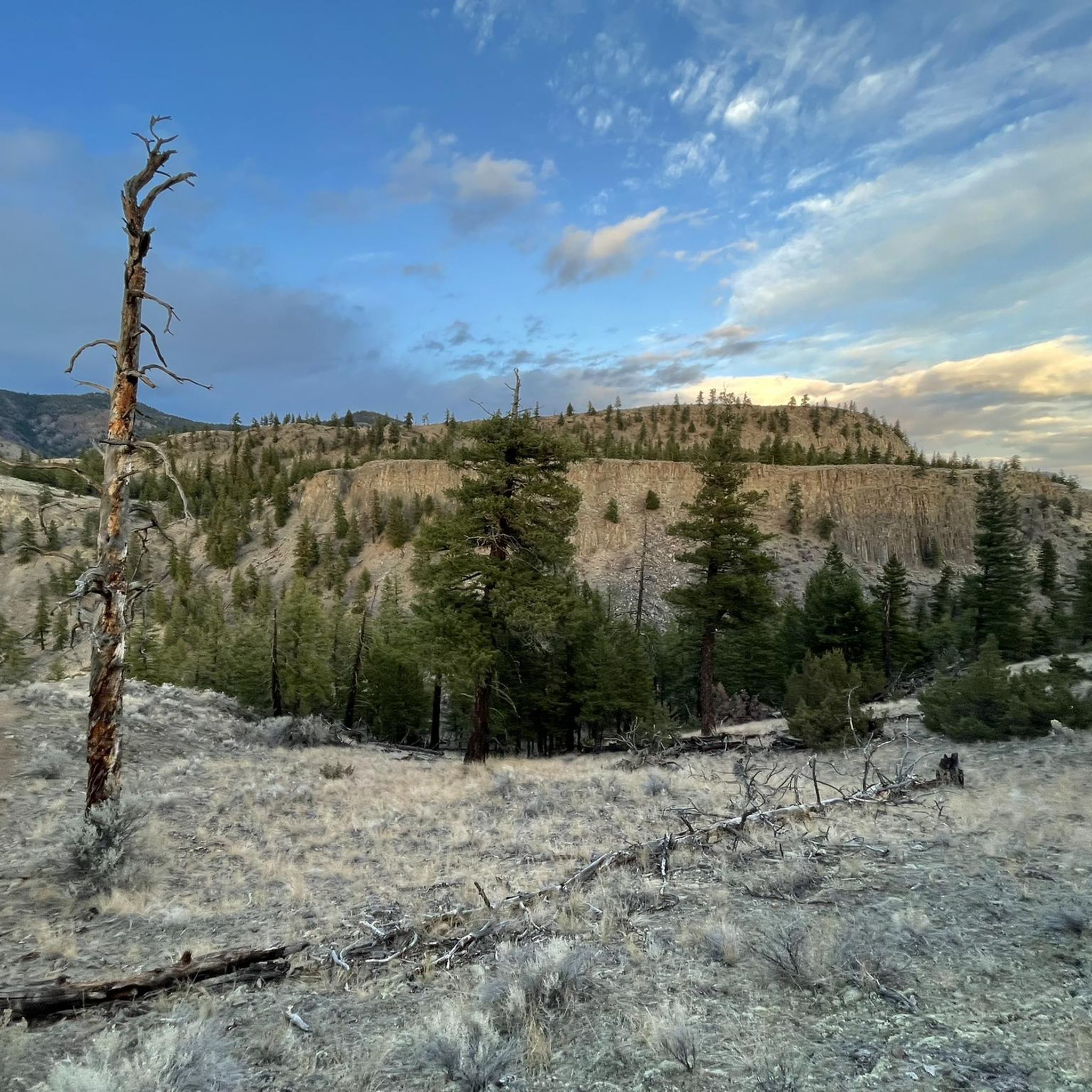
MTB Trails around Area J (Copper Desert Country)
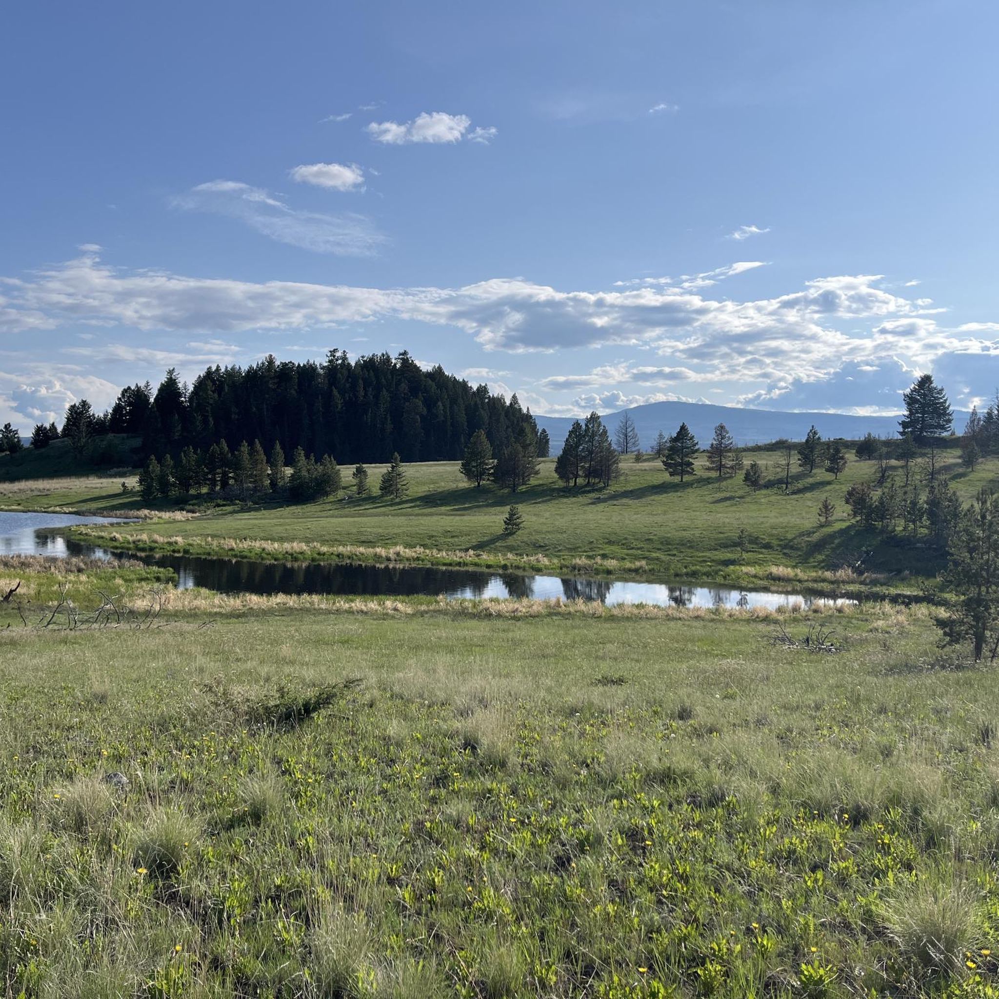
Road Cycling Routes around Area J (Copper Desert Country)

Gravel biking around Area J (Copper Desert Country)
Other adventures around Area J (Copper Desert Country)

Tips from the Community

The McArthur Island Trail is part of the 40 kilometers of trails that make up Kamloops's Rivers Trail. This trail makes a full loop around the perimeter of the island and if you come at quieter times of day you'll have a high chance of spotting some of the varied wildlife that call the area home.
0
0
From this point on the Rivers Trail you'll have a great view over the Thompson River to the hills on the opposite side. The convenient bench makes it the perfect place to have a break and take it all in.
0
0

In addition to the magnificent views, it is worth keeping an eye for detail on the trails in Kenna Cartwright Nature Park. There are many interesting, different bushes and grasses to discover along the way.
0
0


Frequently Asked Questions
How many running routes are available in Area J (Copper Desert Country)?
Area J (Copper Desert Country) offers a diverse selection of over 30 running routes. These trails cater to various fitness levels, ranging from easy paths to more challenging runs with significant elevation changes.
What kind of terrain can I expect on the jogging trails in Copper Desert Country?
You can expect a wide variety of terrain. The region features desert-like shores along Kamloops Lake, transitioning to high-altitude forests and serene lakes. Trails can range from flat lakeside paths to uneven terrain with small hills, rocks, and roots, offering diverse experiences for every runner.
Are there easy running routes suitable for beginners in Area J?
Yes, there are several easy running routes perfect for beginners or those looking for a more relaxed jog. For example, the Wild shrubs along the trail – Dufferin Hill loop from Dufferin is a moderate 7.3 km path that offers a good balance without being overly strenuous.
What do other runners enjoy most about jogging in Area J (Copper Desert Country)?
The running routes in Area J (Copper Desert Country) are highly rated by the komoot community, with an average score of 4.7 stars from over 360 visitors. Runners often praise the diverse landscapes, from arid lakefronts to lush forests, and the variety of trails that cater to both casual joggers and those seeking a more intense workout.
Are there any running routes with scenic viewpoints in the region?
Absolutely! Many routes offer stunning views. You can find trails that provide expansive views of Kamloops Lake, such as those near Battle Bluff Cairn and View of Kamloops Lake or View of Kamloops Lake from Lac du Bois Grasslands. These spots are perfect for enjoying the unique desert-like and mountainous scenery.
Can I find circular running routes in Area J (Copper Desert Country)?
Yes, many of the running routes in Area J are designed as loops, allowing you to start and finish at the same point. This is convenient for parking and exploring the varied landscapes without retracing your steps. An example is the Wild shrubs along the trail loop from Kenna Cartwright Nature Park, which offers a challenging 12.9 km circular path.
What are some interesting natural attractions or landmarks I might see while running?
While running in Area J, you might encounter unique natural features like basaltic rock formations and hoodoos. Specific highlights include the View of basalt columns and the Junction and trail to Cinnamon Ridge. The region's diverse landscape also includes the picturesque shores of Kamloops Lake and the serene Lac du Bois Grasslands Protected Area.
What is the best time of year to go jogging in Copper Desert Country?
The diverse climate of Copper Desert Country makes it suitable for jogging across multiple seasons. While summer offers warm, sunny conditions, the high-altitude forests and lakes provide cooler, shaded environments. Spring and fall are generally ideal with milder temperatures, but caution is advised in winter and early spring due to potential ice on some trails, especially around lakes like McConnell Lake.
Are there any longer, more challenging running routes for experienced runners?
For experienced runners seeking a challenge, Area J offers several difficult routes. These trails often feature significant elevation changes and technical sections with rocks and roots. There are 8 difficult routes in total, providing ample opportunity for an intense workout.
What should I pack for a run in Area J (Copper Desert Country), especially in the desert areas?
Given the desert-like characteristics and varied terrain, it's crucial to pack appropriately. Always carry plenty of water, especially during warmer months. Sun protection like a hat, sunglasses, and sunscreen is essential. Depending on the trail, sturdy running shoes with good grip are recommended for uneven surfaces. Layered clothing is also advisable due to potential temperature fluctuations between different elevations and times of day.
Are there any running routes that go along Kamloops Lake?
Yes, the desert-like shores of Kamloops Lake offer some of the most picturesque running routes in the area. These trails provide expansive views of the lake and surrounding rocky hills. While specific routes are not detailed here, the general area around Kamloops Lake is highlighted as a beautiful option for runners.
Most popular routes around Area J (Copper Desert Country)
Most popular attractions around Area J (Copper Desert Country)

Get inspired with the komoot mobile app


Explore more
Browse the best Running Trails & Routes in other regions.
