The best running trails around Santa María Del Cubillo
123
runners
22
runs
Jogging around Santa María Del Cubillo offers a variety of routes through its diverse landscape. The region features rolling hills and open countryside, providing varied terrain for runners. Many trails traverse rural paths, offering a mix of ascents and descents. These running routes provide opportunities to explore the natural environment of Santa María Del Cubillo.
Best jogging routes around Santa María Del Cubillo
- The most popular jogging route is La Atalaya and Cueva Mingubela Loop, a 7.2 miles (11.6…
Last updated: October 24, 2026
2
runners
11.6km
01:32
410m
410m
Hard run. Very good fitness required. Mostly paved surfaces.
12
runners
22.5km
02:52
600m
600m
Hard run. Very good fitness required. Mostly paved surfaces.

3
runners
11.2km
01:20
210m
210m
Moderate run. Good fitness required. Mostly paved surfaces.
3
runners
6.93km
00:49
70m
80m
Moderate run. Good fitness required. Mostly paved surfaces.
6
runners
8.99km
00:58
140m
140m
Moderate run. Good fitness required. Mostly paved surfaces.
Get access to more routes and recommendations from other explorers.
Already have an account?
Our route recommendations are based on thousands of hikes, rides, and runs completed by other people on komoot.
Start today with a free account
Your next adventure awaits.
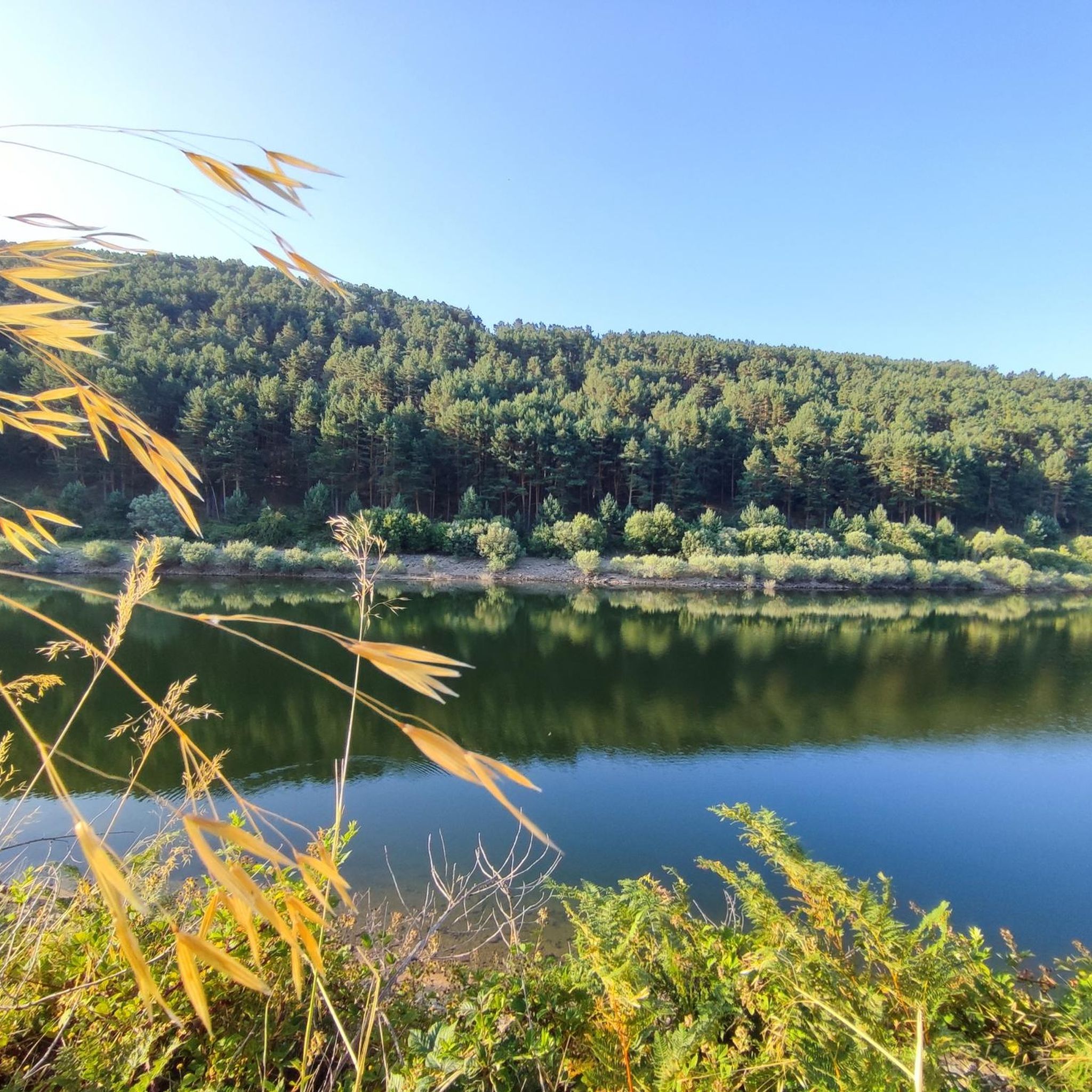
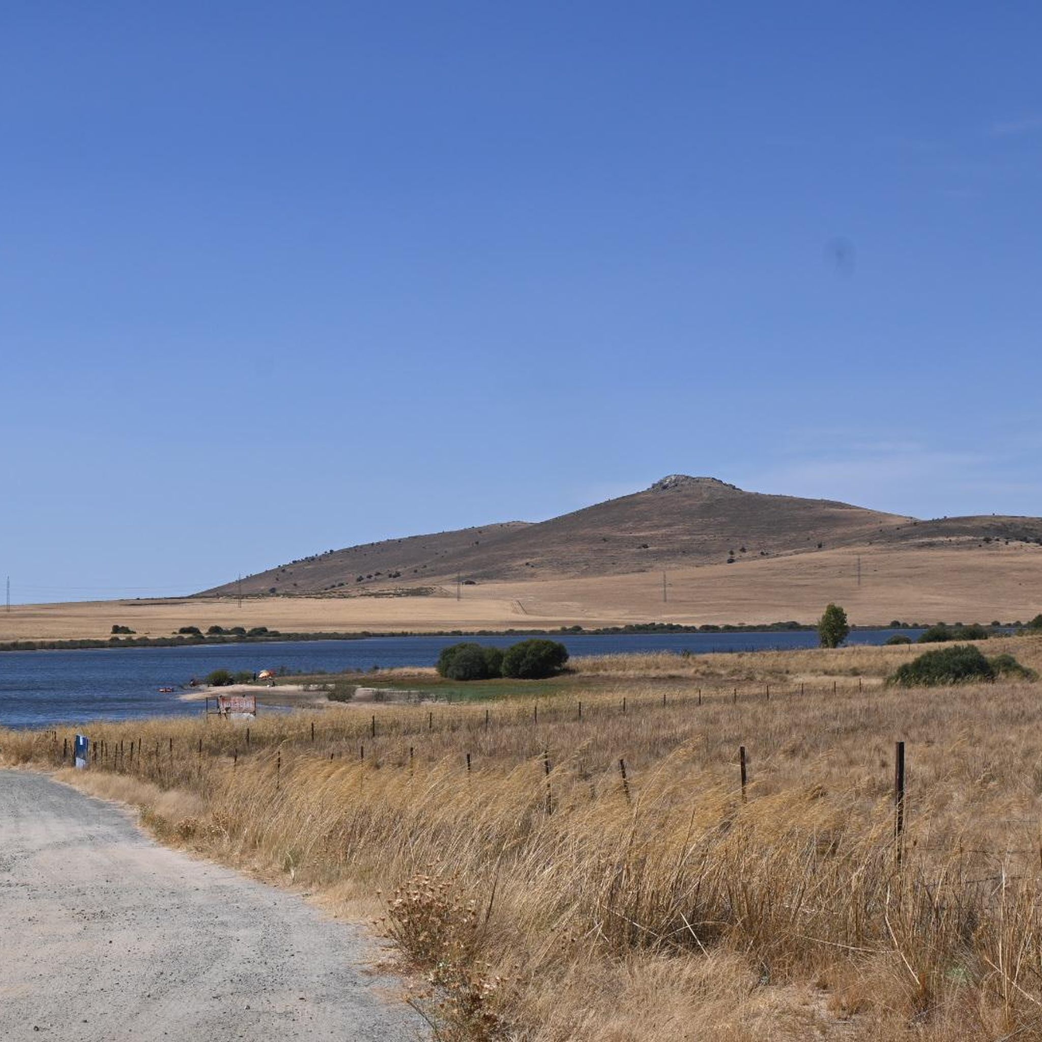
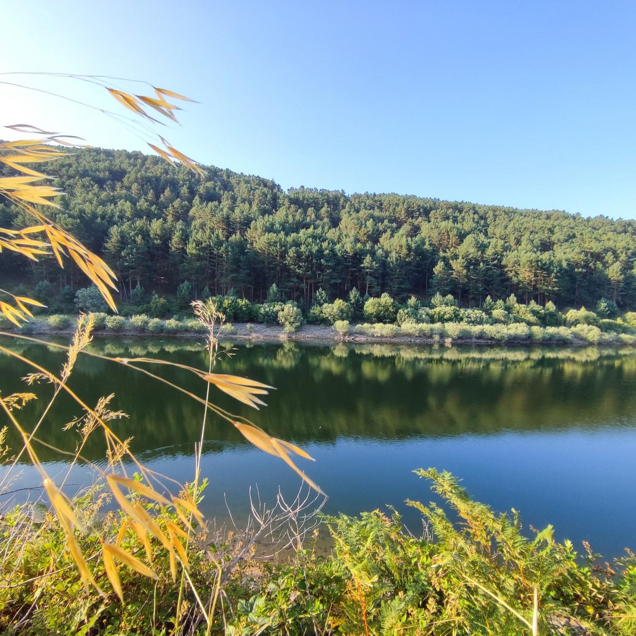
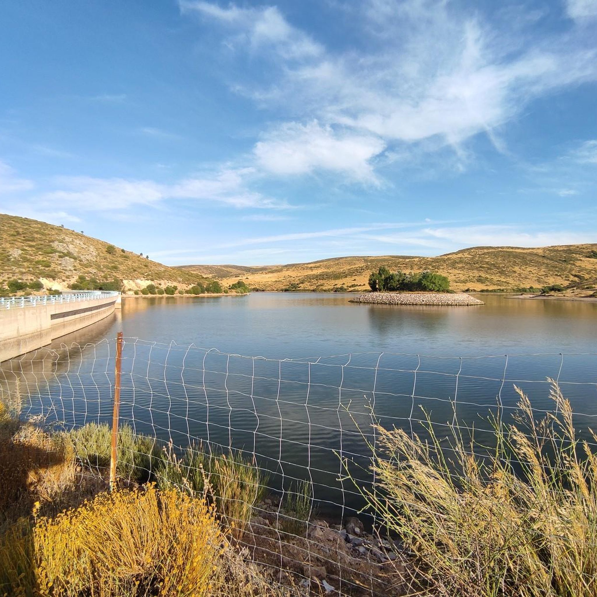

Tips from the Community

Mingubela Cave, also known as Peña Mingubela, is a fascinating rock shelter located near the small village of Ojos Albos in Ávila, Spain. This site is known for its ancient cave paintings, which depict various figures, including warriors, some of whom are shown holding shields or in prayer positions. The cave is divided by a stone column, which adds to its unique structure. If you are interested in visiting, it is important to note that the cave is only accessible on foot and the path can be quite steep, so it is advisable to bring a flashlight and seek precise directions from locals. Additionally, there are several hiking trails in the area, such as the circular trail from Ojos Albos that includes La Atalaya and Mingubela Cave.
5
0

Stage 2. Ávila/Madrid 140 km. 2,500 m positive. On the way back to Madrid we followed the route of the Camino de Santiago de Levante to the Alberche River with some variations to maintain cyclability and an acceptable average. The yellow arrows on the Jacobean route point towards Santiago de Compostela and at some intersections it is not easy to see them in the opposite direction. The track is essential to follow these “author” routes. The route leaves Ávila along the plain of the Chico River to Tornadizos de Ávila and continues along the cattle trails from the sources of the Tornadizos River to some spectacular pastoral meadows in the hills of El Cabezuelo. The final stretch of the climb follows a path that has good cyclability with good grinding technique and expertise on mountain trails. The path passes a gate with yellow arrows and goes down to the port of Boquerón, between the Cuerda de los Polvisos and the Malagón mountain range, one of the entrances to the great Herradón de Pinares grave. The descent along the Camino de Santiago is an uncomfortable and complicated trial with the bags due to the pavement and the vegetation and to maintain the pace we go down the road gliding over a deceptive landscape, we pass through El Herradón and continue to San Bartolomé de Pinares. The climb through the cobblestone streets of the town is tough and the exit through the forks of the Camino de Levante ends with an infernal wall, until the slope ends on a hill adorned with a milestone of the Jacobean route that has indications of the distances to different places. in the world, from Ávila and Madrid to Beijing or New Zealand.
0
0

The Hermitage of Santisimo Cristo de Gracia may date from the late 15th century. The ranchers' brotherhood was founded in this hermitage.
1
0
Historical building of an old convent from the 16th century.
1
0

The highest peak in this small range that is located in the Central System and that is covered by a set of windmills that line the ridge of the mountain. This reaches more than 1500 meters in height.
1
0
On the other side of the Arroyo del Corral is this well-known cave where cave paintings are found. Just above it, we can find Peña de la Mora.
0
1
Small town that is crossed by the Río de la Gaznata and that is surrounded by mountains that reach almost a thousand meters called Cuerda de los Polvisos.
2
0
In the middle of the Sierra de Ojos Albos is a mountain at the foot of which, hidden, is this cave with ancient rock paintings. The peak is called Peña de la Mora and the cave in the direction of Arroyo del Corral Hondo.
2
0
Frequently Asked Questions
How many running routes are available in Santa María Del Cubillo?
There are over 20 dedicated running routes around Santa María Del Cubillo, offering a variety of distances and difficulty levels for all types of runners.
Are there any easy jogging routes suitable for beginners in Santa María Del Cubillo?
Yes, the region offers at least one easy running route. These trails typically feature less elevation gain and smoother terrain, perfect for those new to jogging or looking for a relaxed run.
What kind of terrain can I expect on the jogging trails around Santa María Del Cubillo?
The running routes in Santa María Del Cubillo primarily feature rolling hills, open countryside, and rural paths. You can expect a mix of ascents and descents, providing varied terrain that keeps runs interesting.
Are there any circular running routes in the area?
Many of the running routes in Santa María Del Cubillo are loops, allowing you to start and finish at the same point. For example, the Risco de los Dineros loop from Las Navas del Marqués is a popular circular option.
What are some of the longer running routes available?
For those seeking a longer challenge, the El Herradón loop from Herradón-La Cañada is a difficult 22.5 km (14.0 miles) path with substantial climbs, offering an extended running experience.
Are there any viewpoints or scenic spots along the running trails?
Yes, the area boasts several scenic viewpoints. You can find stunning vistas at highlights like Mirador del Canchal and Risco de los Dineros Viewpoint, offering beautiful panoramas during your run.
What do other runners say about the trails in Santa María Del Cubillo?
The running routes in Santa María Del Cubillo are highly rated by the komoot community, with an average score of 5.0 stars. Runners often praise the varied terrain and the opportunity to explore the natural environment.
Are there any natural attractions or landmarks near the running routes?
Beyond the trails themselves, you can explore natural attractions such as the Navalperal de Pinares Reservoir and the Puerto de la Lancha mountain pass, which are accessible from various points in the region.
Are there any moderate running routes for intermediate runners?
The majority of running routes in Santa María Del Cubillo are classified as moderate, providing a good balance of distance and elevation. An example is the Running loop from Las Navas del Marqués, which is 7.2 km (4.5 miles) long.
What is the best time of year for running in Santa María Del Cubillo?
Given the region's climate, spring and autumn generally offer the most pleasant temperatures for running. Summers can be warm, while winters are cooler, so checking local weather forecasts is always recommended.
Are there any trails that pass through unique natural features?
Yes, some routes traverse areas with interesting natural features. For instance, the La Atalaya and Cueva Mingubela Loop offers a challenging run through varied landscapes, potentially revealing unique geological formations or natural points of interest.
Most popular routes around Santa María Del Cubillo
Most popular attractions around Santa María Del Cubillo

Get inspired with the komoot mobile app


Explore more
Browse the best Running Trails & Routes in other regions.
