The best running trails around Mironcillo
49
runners
8
runs
Jogging routes around Mironcillo traverse a varied landscape, featuring river valleys, rolling hills, and routes that ascend towards higher elevations. The terrain includes paths along the Adaja River and climbs towards points like Pico Zapatero. Runners can expect diverse gradients, from gentle riverside trails to more challenging ascents. The area provides a range of running experiences across its natural environment.
Best jogging routes around Mironcillo
- The most popular jogging route is Sotalbo and Manqueospese Castle Loop, a 8.1 miles (13.0 km) trail that takes 1 hour 52 minutes to complete. This difficult route includes significant elevation gain.
- Another top favourite among local runners is Adaja River Trail loop from El Fresno, a moderate 7.3 miles (11.7 km) path. This route follows the Adaja River with minimal elevation changes.
- Local runners also love the Pico Zapatero – Molino de Enmedio loop from Sotalbo, a 11.8 miles (19.0 km) trail leading through varied terrain with substantial climbs, often completed in about 2 hours 52 minutes.
- Jogging around Mironcillo is defined by river paths, rolling hills, and ascents towards higher points like Pico Zapatero. The network offers options for different ability levels, from moderate riverside runs to difficult mountain trails.
- The routes in Mironcillo are highly rated by the komoot community with an average score of 5.0 stars from over 1 review. More than 70 runners have used komoot to explore Mironcillo's varied terrain.
Last updated: July 2, 2026
13.0km
01:52
520m
520m
Hard run. Very good fitness required. Sure-footedness, sturdy shoes and alpine experience required.
21
runners
19.0km
02:52
950m
950m
Hard run. Very good fitness required. Mostly paved surfaces. Suitable for all skill levels.

Sign up for free
7
runners
6.36km
00:44
70m
70m
Moderate run. Good fitness required. Mostly paved surfaces. Suitable for all skill levels.
9
runners
10.6km
01:46
690m
690m
Hard run. Very good fitness required. Mostly paved surfaces. Suitable for all skill levels.
3
runners
11.8km
01:32
290m
290m
Moderate run. Good fitness required. Mostly paved surfaces. Suitable for all skill levels.
Get access to more routes and recommendations from other explorers.
Sign up for free
Already have an account?
Our route recommendations are based on thousands of hikes, rides, and runs completed by other people on komoot.
Start today with a free account
Your next adventure awaits.
Login or Signup


Tips from the Community

Manqueospese Castle, also known as "Althoughospese," is located in the municipality of Mironcillo, Ávila, at an altitude of 1,360 meters, overlooking the Amblés Valley. This castle is an example of a European mountain fortress, with strong walls adapted to the rocky terrain. Construction of the castle began in the 15th century by the Dávila family and was completed by Esteban Dávila in the 16th century. The castle is surrounded by legends, including stories of unrequited love and rivalries between knights. Its name, "Manqueospese," is said to come from the expression "although it weighs on you," which is related to these legends. From its privileged position, the castle offers stunning views of the Amblés Valley and the walls of Ávila. Although it is currently in ruins, restoration and cleaning work are underway.
5
0
Aldea del Rey Niño is a Spanish district that belongs to the municipality of Ávila, capital of the homonymous province, in the autonomous community of Castilla y León. Although its full history is not yet fully documented, archaeological remains have been found indicating the existence of Roman settlements in the area. The town is located inside the municipality of Ávila, in the foothills of the Sierra de Yemas. If you ever get the chance, I highly recommend exploring this charming area. 🏞️🌿
2
0

A charming small town with a heritage dating back to Roman times. The town church can be your starting point for an adventure in the area and a trailhead to the Sierra de Yemas.
2
0

According to legend, the castle would be built by Don Raimundo, to communicate with his beloved Doña Guiomar, locked in the balcony that crowns the door of the Rastro (in Ávila, access through the Dávila house), given the prohibition of her father. for the couple to continue their love affairs. Given the paternal attitude, Don Raimundo exclaimed: "I'll see her manqueospese" or "I'll see her even though she weighs", and it was then that he built his castle, from which he apparently communicated with his beloved Guiomar.
1
0

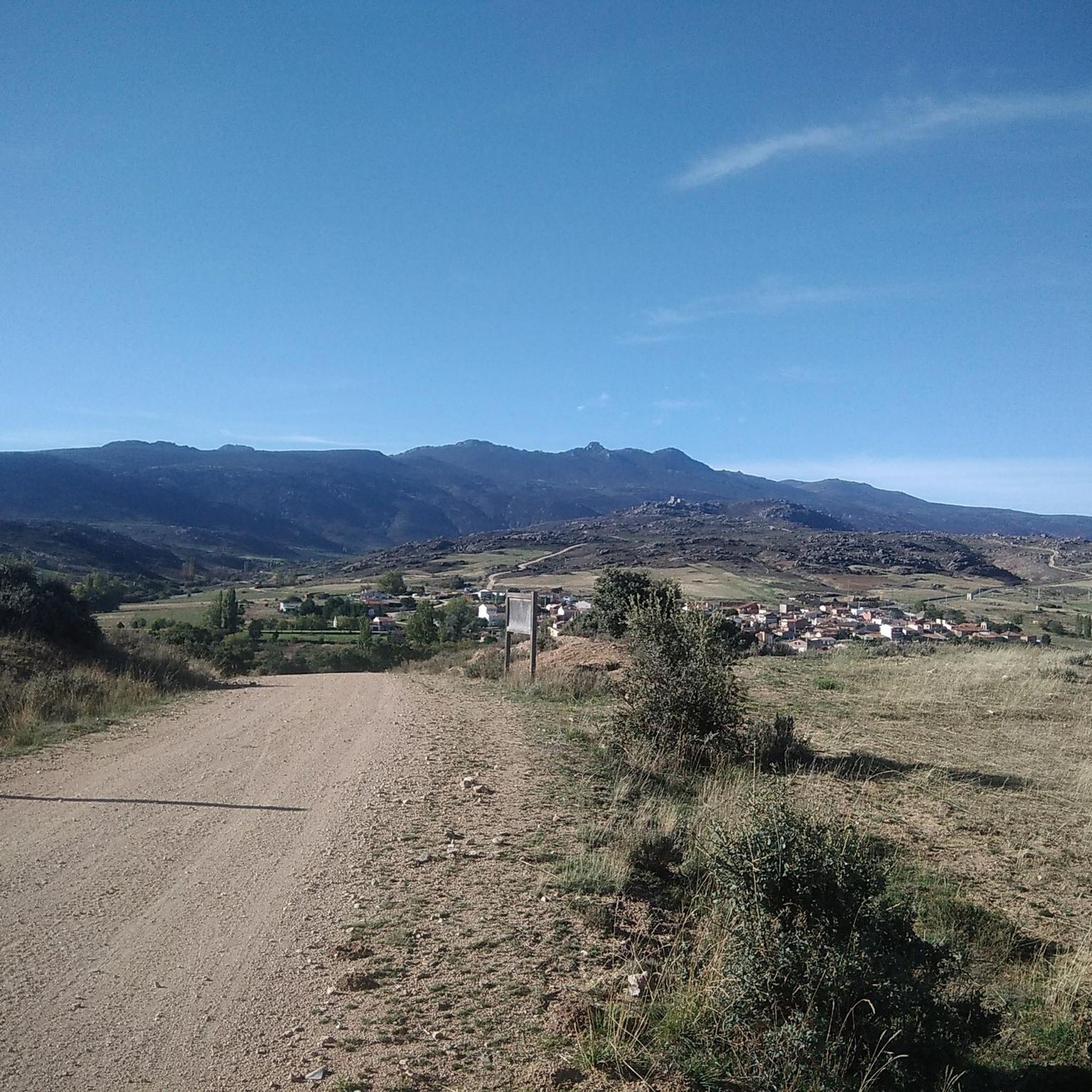
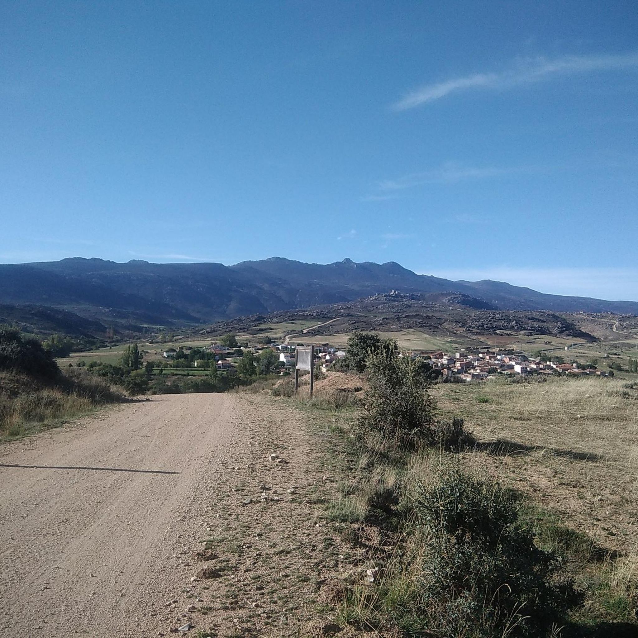
Population that is located at the foot of the northern side of the Sierra de Panamera and that on one of its sides is the Castillo de Manqueospese. As it is surrounded by mountains, as soon as you get up, you can see the entire core.
0
0
Impressive castle that is located close to the town of Sotalbo and that has a scene worthy of a movie. The walls and towers create a beautiful image on a hill!
1
0
The Río de la Garaganta descends through this valley that has formed over the years and that lets us see how the Sierra de Panamera peaks rise behind us.
1
0

The unique granite landscape is the result of the mineral composition, climatic changes and the weathering of the rock surfaces, giving rise to suggestive modeling forms. The most striking process is the slabs, the boats, the corridors and alleys and the granular disintegration, creating an authentic labyrinth of stone sculptures. To the west, at the headwaters of the Adaja River, the white reliefs of La Serrota emerge. The path follows the ridge and collides with the top pyramid of Zapatero in a clear hill where the ascent to the top begins on the southwest face. The ascent is marked with stone milestones. The ice and the amount of snow will determine the technical level of the ascent. First there is a rocky step to a wide and comfortable shoulder, where the final attack begins through a channel that leads to the access passage to the geodesic vertex through a kind of tunnel. The views from the top of the remaining section of the rope are breathtaking between large granite domes and giant speedboats, but it is actually easier than the previous section and almost all descent. The descent of the peak is along the east face, to a pass where the Path of Zapatero climbs from the left from Sotalvo.
2
0
Frequently Asked Questions
How many running routes are available around Mironcillo?
There are 10 dedicated running routes around Mironcillo, offering a variety of experiences for different fitness levels. These include 4 moderate trails and 6 more challenging routes.
Are there any easy or moderate running trails suitable for beginners in Mironcillo?
Yes, Mironcillo offers several moderate running trails perfect for beginners or those looking for a less strenuous run. A good option is the Adaja River Trail loop from El Fresno, which is 11.7 km long with minimal elevation changes, following the Adaja River.
What kind of terrain can I expect on the jogging routes in Mironcillo?
The jogging routes in Mironcillo feature a varied landscape, including paths along the Adaja River, rolling hills, and ascents towards higher elevations like Pico Zapatero. You'll encounter diverse gradients, from gentle riverside trails to more challenging climbs.
Are there any circular running routes in the Mironcillo area?
Yes, many of the running routes around Mironcillo are designed as loops. For example, the Sotalbo and Manqueospese Castle Loop and the Pico Zapatero – Molino de Enmedio loop from Sotalbo are both excellent circular options.
What are some notable landmarks or viewpoints I can see along the running trails?
Several routes offer views of significant landmarks. You can encounter Pico Zapatero, a prominent summit, or pass through areas near the Puerto de Navalmoral and Portacho del Cuchillo mountain passes. The Church of Nuestra Señora de la Asunción in El Fresno is also near some river trails.
What do other runners say about the trails in Mironcillo?
The running trails in Mironcillo are highly rated by the komoot community, with an average score of 5.0 stars. Over 70 runners have explored the area, often praising the varied terrain and the natural beauty of the routes.
Are there any longer, more challenging running routes for experienced runners?
Absolutely. For experienced runners seeking a challenge, the Pico Zapatero – Molino de Enmedio loop from Sotalbo is a difficult 19 km trail with substantial climbs. Another demanding option is the Pico Zapatero loop from El Collado, covering 10.5 km with significant elevation gain.
Can I find shorter running routes in Mironcillo?
Yes, if you're looking for a shorter run, the Running loop from Duruelo is a moderate 6.3 km trail. It's a good option for a quicker workout without too much elevation.
What is the typical duration for completing a running route in Mironcillo?
The duration varies significantly based on the route's length and difficulty. Shorter, moderate routes like the Running loop from Duruelo can be completed in under an hour, while longer, difficult trails such as the Pico Zapatero – Molino de Enmedio loop from Sotalbo can take nearly three hours.
Are the running trails in Mironcillo suitable for families?
While some routes involve significant elevation, the moderate trails, particularly those along the Adaja River with minimal changes in gradient, can be suitable for families looking for a gentle run or walk. Always check the route details for distance and elevation to ensure it matches your family's ability.
Is Mironcillo a good destination for trail running?
Yes, Mironcillo is an excellent destination for trail running. Its diverse landscape, featuring river paths, rolling hills, and mountain ascents, provides a variety of natural surfaces and challenges that trail runners typically seek.
Most popular attractions around Mironcillo

Get inspired with the komoot mobile app


Explore more
Browse the best Running Trails & Routes in other regions.
