The best cycling routes around Escorihuela
36
riders
11
rides
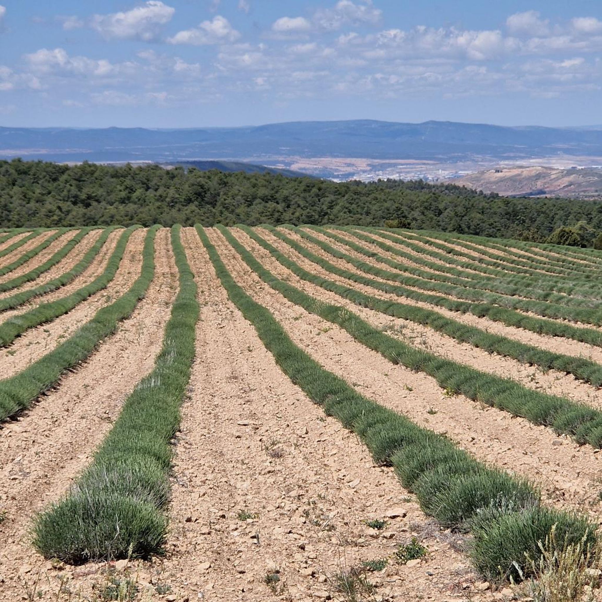
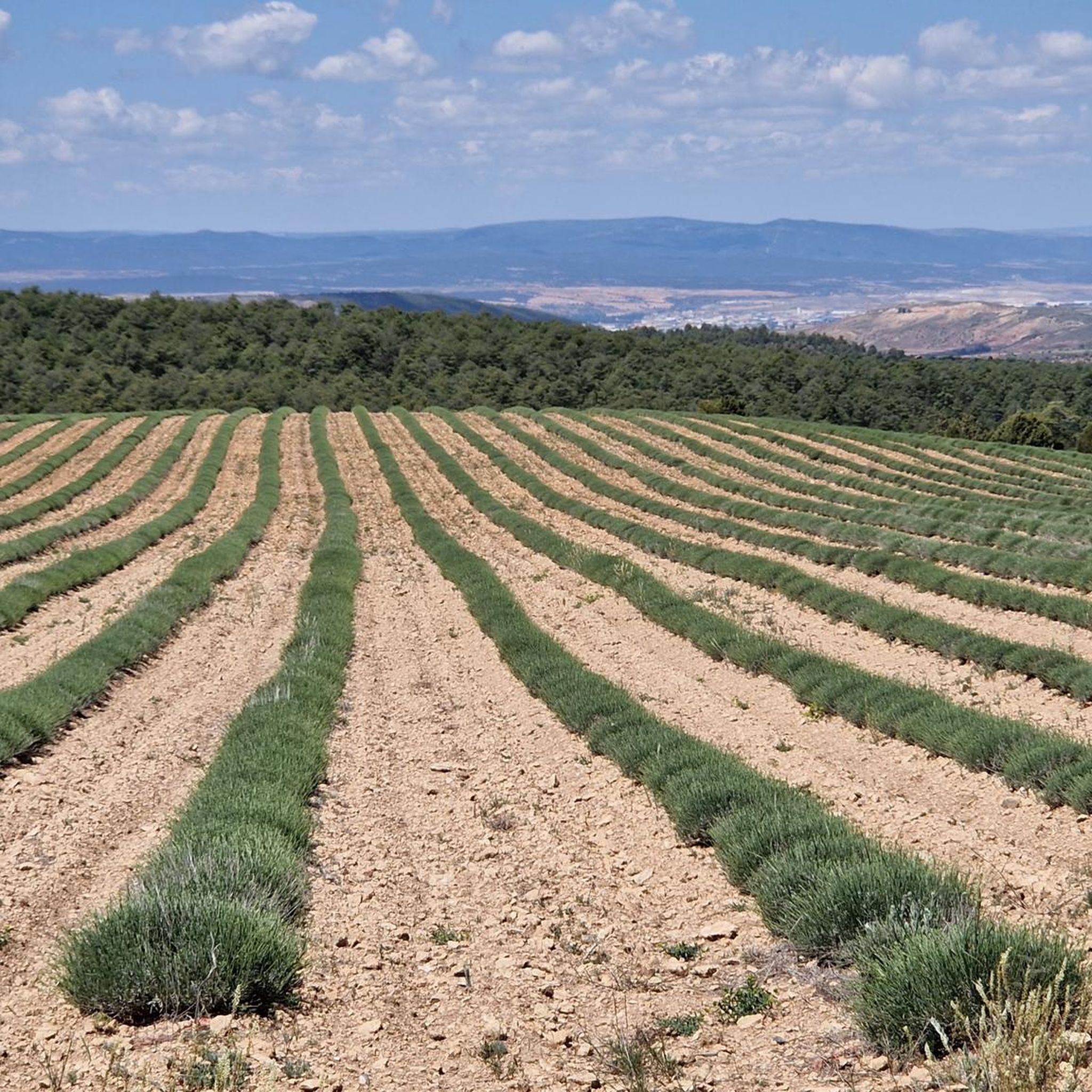
Touring cycling routes around Escorihuela are situated in the Teruel province of Aragon, Spain, at an altitude of 1,133 meters. The region features varied and rugged terrain, including the depression of the Alfambra river and the foothills of the Sierra del Pobo. Geological formations include Triassic sandstones and Jurassic carbonate rocks. The area benefits from a growing cycling tourism infrastructure, including the "Bicitela" project which connects municipalities via cycling routes.
Best touring cycling routes around Escorihuela
- The most popular touring…
Last updated: June 23, 2026
34.9km
02:33
740m
750m
Hard bike ride. Very good fitness required. Mostly paved surfaces. Suitable for all skill levels.
7
riders
101km
08:44
1,780m
1,780m
Hard bike ride. Very good fitness required. Mostly paved surfaces. Suitable for all skill levels.

Sign up for free
6
riders
38.5km
03:23
540m
540m
Hard bike ride. Very good fitness required. Mostly paved surfaces. Suitable for all skill levels.
4
riders
37.8km
02:58
460m
470m
Hard bike ride. Very good fitness required. Mostly paved surfaces. Suitable for all skill levels.
2
riders
38.7km
02:56
400m
400m
Moderate bike ride. Good fitness required. Mostly paved surfaces. Suitable for all skill levels.
Get access to more routes and recommendations from other explorers.
Sign up for free
Already have an account?
Our route recommendations are based on thousands of hikes, rides, and runs completed by other people on komoot.
Start today with a free account
Your next adventure awaits.
Login or Signup
Popular around Escorihuela
Tips from the Community

Hermitage of Santa Ana, Ababuj, Teruel.
0
0
Hermitage of the Holy Christ, Aguilar de Alfambra, Teruel.
0
0

Alcalá de la Selva is a charming municipality in the province of Teruel, Aragon. Of Arab origin, it offers a stunning view of the town.
4
0

Alcalá de la Selva is located at an altitude of 1,400 m in the Sierra de Gúdar mountain range. The Alcalá River flows at its feet, feeding an abundance of small vegetable gardens. Today, Alcalá de la Selva, with around 500 inhabitants, is the main winter resort in the province of Teruel.
1
0

Viewpoint at the geodetic point. Stone turret with iron ladder that allows you to climb over the tree line to enjoy the views.
0
0
The geodesic vertex called Peñarroya points 2028.228 m with respect to the base of the observation pillar, but it sits on two bodies of stone masonry. Altitude of the bodies of the order of 10 or 11 meters in total. LIDAR data confirm a ground level elevation of 2017 m. Peñarroya is a chromotoponym that refers to the color of the rocks that make up the mountain. The spelling in the Spanish language is Peñarroya and in the Aragonese language Penyarroya or Peñarroya depending on the spelling chosen for the palatal nasal. The origin of the toponym is quite clear. It combines the common noun peña, from the Latin PĭNNAM, 'battlement', with the adjective RŭBEŭS, -A, -UM 'blond'. The toponym reflects the reddish hue of the terrain. The spelling Penya (in addition to others such as Penna or Peña) is included in many medieval texts in Aragon. For example, in 1448 to designate the summit of the mountain range (of Peña) that rises above Sos del Rey Católico on the border, then, with the kingdom of Navarra.
1
0
The Peñarroya peak is a mountain in the Iberian System located in Alcalá de la Selva, in the province of Teruel (Aragon, Spain). With its 2028,228 m altitude, it constitutes the highest elevation of the Iberian System of Teruel (and the highest elevation of the province of Teruel). It is formed as a residual hill of Cretaceous limestone and sandstone, barely standing out on the erosion surface of the Gúdar mountain range. The most characteristic thing about its summit is its enormous geodesic vertex – about 10 m high – through which you can ascend. From the top you can see the Maestrazgo and the Javalambre mountain range. Altitude 2,028 m Prominence 1,023 m
0
0
The Mirador de Peñarroya is a panoramic viewpoint located in the Matarraña region, in the province of Teruel. The trail is part of the PR-TE 157 circular route, suitable for families. If you are in the area, you can also explore other viewpoints such as El Peñón, which offers impressive panoramic views of Peñarroya and the Alto Valle del Guadiato. Happy hiking! 🚶♀️🌄🌞
8
0
Frequently Asked Questions
How many touring cycling routes are available around Escorihuela?
There are 9 touring cycling routes around Escorihuela, offering a variety of experiences. These routes are primarily designed for touring cyclists and range in difficulty from moderate to difficult.
What kind of terrain can I expect on touring cycling routes near Escorihuela?
The terrain around Escorihuela is varied and often rugged, situated in the depression of the Alfambra river at the foot of the Sierra del Pobo. You'll encounter landscapes ranging from lush forests to technical high-mountain areas, with geological features including Triassic sandstones and Jurassic carbonate rocks. The region also features impressive canyons and gorges, offering diverse scenic backdrops for your rides.
Are there touring cycling routes suitable for beginners or families in Escorihuela?
While many routes around Escorihuela are rated as difficult, there are 3 moderate routes available. The broader Teruel province, where Escorihuela is located, actively promotes cycling tourism with an extensive network of trails, including some designed to be accessible for various users and families. Look for routes that utilize Greenways (Vías Verdes) or sections of the 'Bicitela' project, which connect municipalities along municipal paths and some paved sections, often suitable for a less strenuous ride.
What are some notable landmarks or points of interest I might see along the cycling routes?
Along the routes, you can encounter various points of interest. For example, the route Port of Cabigordo and Barony of Escriche – circular from Cedrillas includes climbs to mountain passes like Puerto de Cabigordo, offering expansive views. Another route, Alcalá de la Selva Castle – Alcalá de la Selva loop from Cedrillas, leads through varied terrain with historical points of interest. You might also pass through settlements like Cedrillas or see the Monument to the Sacred Heart of Jesus of Alfambra.
Are there any circular touring cycling routes around Escorihuela?
Yes, several circular touring cycling routes are available. For instance, the Stone Shelter – Refugio de Piedra loop from Los Portillejos is a difficult 23.9-mile (38.5 km) path that traverses rural areas. Another option is the Cedrillas – Peñarroya Summit Viewpoint loop from Cedrillas, a longer and challenging 57.7-mile (92.9 km) route with significant elevation gain.
What is the best time of year to go touring cycling in Escorihuela?
Given Escorihuela's altitude of 1,133 meters and the varied, rugged terrain of the Teruel province, spring and autumn generally offer the most pleasant conditions for touring cycling. Summers can be hot, especially in lower elevations, while winters can bring cold temperatures and potentially snow in higher mountain passes. Checking local weather conditions before your trip is always recommended.
What do other touring cyclists enjoy most about cycling in Escorihuela?
Touring cyclists who have explored the area often praise the varied terrain, the low-traffic secondary roads, and the opportunities to ride on former railway lines converted into Greenways. The region's commitment to developing cycling infrastructure, including signposted routes and support services like bicycle repair stations, also enhances the experience.
Are there options for longer, more challenging touring cycling routes?
Absolutely. For those seeking a significant challenge, the Cedrillas – Peñarroya Summit Viewpoint loop from Cedrillas is a difficult 57.7-mile (92.9 km) route with over 1500 meters of elevation gain. Another demanding option is the Countryside Road Near Teruel – Cedrillas loop from Cedrillas, covering 34.5 miles (55.5 km) with nearly 1000 meters of ascent.
What kind of cycling infrastructure is available in the Teruel province?
The Teruel province, including the area around Escorihuela, has invested significantly in cycling tourism. The 'Bicitela' project has inaugurated 23 cycling routes totaling nearly 280 kilometers, connecting 34 municipalities, primarily along municipal paths and some paved sections. You'll also find Greenways (Vías Verdes) like the Ojos Negros, which are decommissioned railway lines converted into cycling paths. Bicycle repair stations are available at strategic points, such as Alfambra, which borders Escorihuela.
Can I find routes that offer expansive views of the landscape?
Many routes in the region offer breathtaking views due to the varied and often elevated terrain. The Port of Cabigordo and Barony of Escriche – circular from Cedrillas route, for example, includes climbs to mountain passes that provide expansive vistas of the surrounding landscape. The secondary roads in Teruel are known for low traffic and good asphalt, often leading to challenging climbs with rewarding panoramic views.
Are there any specific cycling routes that highlight the region's natural environment?
Yes, routes like the Stone Shelter – Refugio de Piedra loop from Los Portillejos traverse rural areas and pass by natural stone shelters, offering a direct glimpse into the region's natural environment. The broader Teruel province is also home to natural attractions like the Protected Landscape of the Pinares del Rodeno and the 'Red Canyon of Teruel,' which can be integrated into cycling itineraries for scenic exploration.
Most popular routes around Escorihuela
Most popular attractions around Escorihuela

Get inspired with the komoot mobile app


Explore more
Browse the best Cycling routes in other regions.
