The best cycling routes around Pineda De Gigüela
7
riders
3
rides
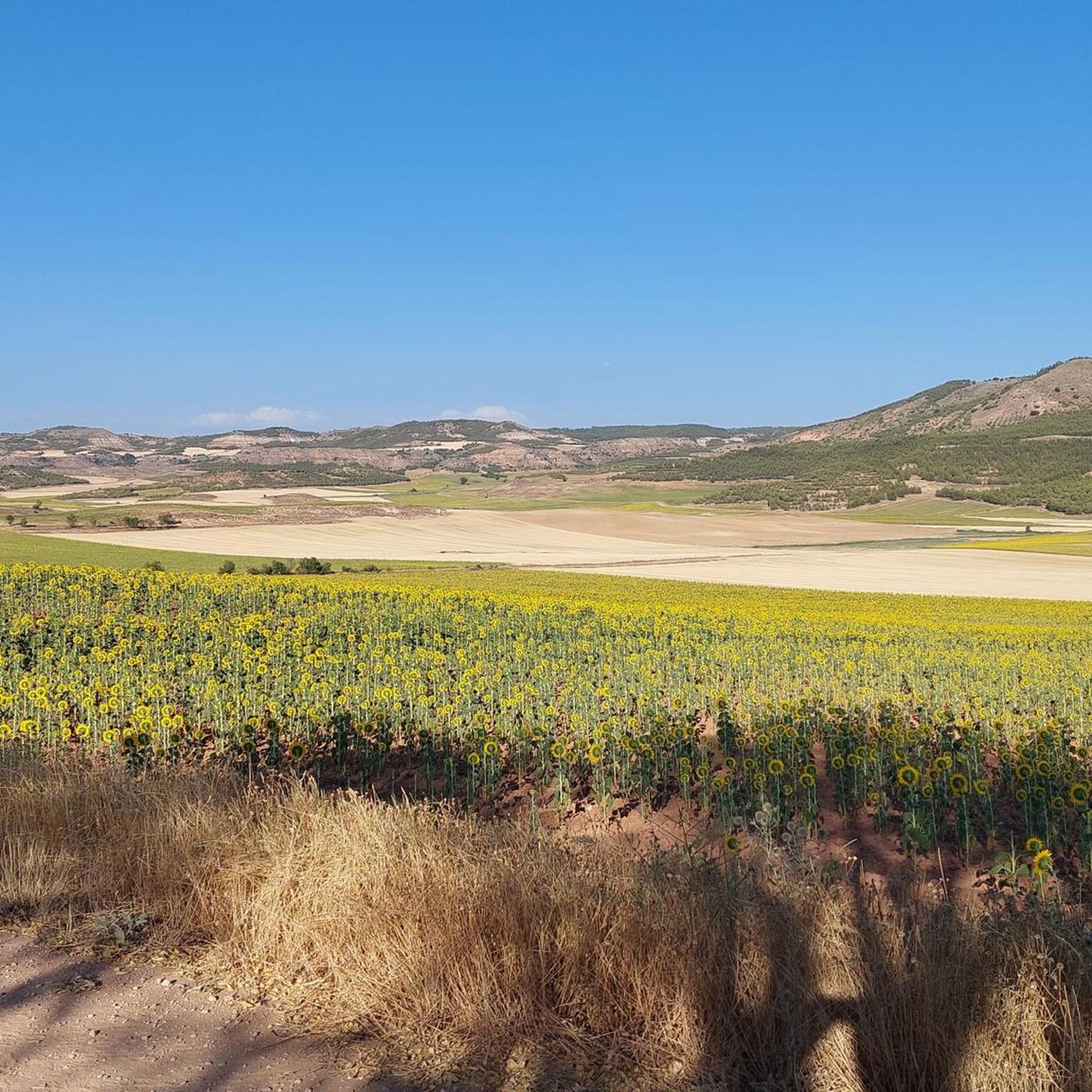
Touring cycling routes around Pineda De Gigüela traverse a landscape characterized by gentle elevations, expansive open fields, and Mediterranean vegetation, situated at an altitude of nearly 1,000 meters. The region features scattered pine forests and offers views of the Gigüela River Valley and the "Estepas Yesosas de la Alcarria Conquense." These best touring bike routes in Pineda De Gigüela provide a tranquil rural setting for exploration.
Best touring cycling routes around Pineda De Gigüela
- The most popular touring cycling route…
Last updated: October 23, 2026
3
riders
Hard bike ride. Very good fitness required. Mostly paved surfaces.
2
riders
17.6km
01:21
230m
230m
Moderate bike ride. Good fitness required. Mostly paved surfaces.

2
riders
42.7km
02:48
440m
430m
Moderate bike ride. Good fitness required. Mostly paved surfaces.
Our route recommendations are based on thousands of hikes, rides, and runs completed by other people on komoot.
Start today with a free account
Your next adventure awaits.
Popular around Pineda De Gigüela

Tips from the Community

Beautiful town to admire from this high point, where we should stop for a while to enjoy it!
1
0
Place from where you can see Valdecolmena de Abajo, a small town that is worth knowing
0
0

From this point on the road, you can see the town of Valdecolmena de Abajo, which is located at the top of one of the hills that make up this small valley.
1
1

A panoramic point with beautiful views of the town and the surrounding landscape. Highway without traffic.
1
0
Not only is the town of Peraleja beautiful, but so is its surroundings. Depending on the time of year, the farmlands that climb up into the surrounding "hills" can be yellow or spring green when it has rained!
0
1
Road that passes through the town of Saceda de Río and that runs parallel to the valley of the Río Peñahora, winding along the edge of small mountains until reaching La Paraleja.
0
1
If you come from the town of Huete, you find a climb that ends at the top of this table that is at a different altitude than the valley that has formed the Río Mayor, always in the background views. Verdelpino de Huete is perfectly visible from the road.
0
1

A little after leaving the town of Verdelpino de Huete is this panoramic point with beautiful views of the town and the surrounding landscape.
4
1
Frequently Asked Questions
How many touring cycling routes are available around Pineda De Gigüela?
There are 4 touring cycling routes detailed in this guide for the Pineda De Gigüela area. These routes offer diverse experiences across the region's unique landscape.
What are the difficulty levels of the touring cycling routes in Pineda De Gigüela?
The routes around Pineda De Gigüela range from moderate to difficult. You'll find 3 moderate routes and 1 difficult route, catering to cyclists with varying levels of experience and fitness.
Are there any circular touring cycling routes in the area?
Yes, all the touring cycling routes listed in this guide are circular, allowing you to start and end your journey in the same location. For example, you can explore the Views of Verdelpino de Huete loop from Verdelpino de Huete, which is a moderate circular ride.
What kind of terrain can I expect on the touring cycling routes around Pineda De Gigüela?
The terrain in the Alcarria region around Pineda De Gigüela typically features gentle elevations, expansive open fields, and Mediterranean vegetation. While many tracks are paved, some routes may include unpaved or more challenging sections, reflecting the tranquil rural character of the area. The region is situated at nearly 1,000 meters altitude, offering crisp air and unique thermal nuances.
What scenic viewpoints or attractions can I discover along the cycling routes?
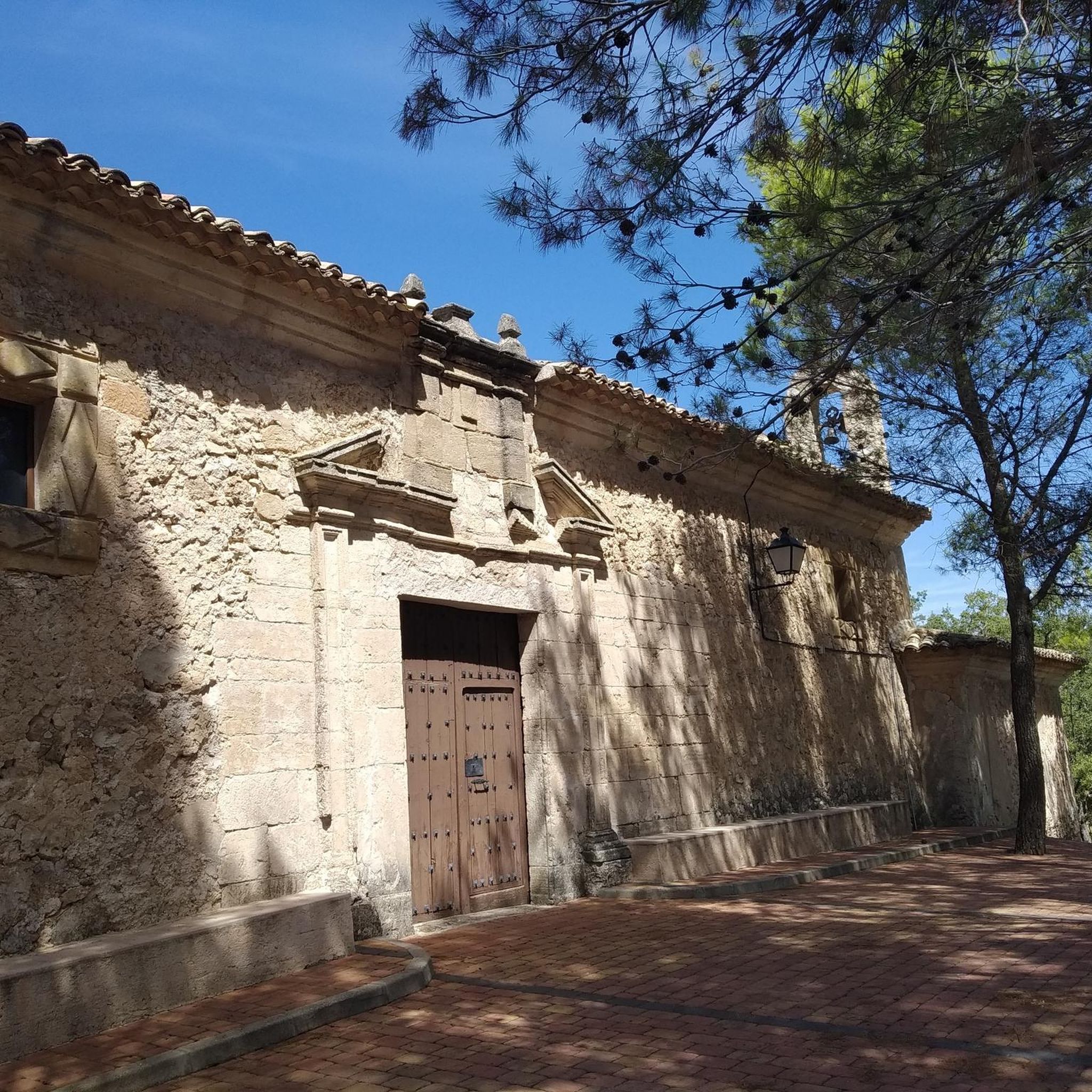
The routes offer opportunities to see several points of interest. You can enjoy panoramic vistas from Views of Verdelpino de Huete. Other notable highlights in the broader area include Cuevas de Velasco and the Hermitage of Santa Ana and Fountain. The routes also pass through areas with traditional rural houses and religious buildings.
Is Pineda De Gigüela suitable for family-friendly cycling?
While the guide lists routes as moderate to difficult, the region's serene countryside and rural paths can be enjoyable for families with older children or those accustomed to longer rides. The View of Valdecolmena de Abajo – Cuevas de Velasco loop from Castillejo del Romeral is a moderate option that could be considered, depending on the family's cycling experience.
What is the best time of year to go touring cycling in Pineda De Gigüela?
Given the region's altitude of nearly 1,000 meters and Mediterranean climate, spring and autumn generally offer the most pleasant conditions for touring cycling. The air is crisp, and the aromas of dry earth and Mediterranean flora are particularly potent. Summers can be hot, and winters can be cold, so plan accordingly.
Are there any specific routes that offer extensive views of the landscape?
Yes, the Views of Verdelpino de Huete – Fields of La Peraleja loop from Verdelpino de Huete is a difficult route that provides extensive views of the village of Verdelpino de Huete and its surrounding landscape, perfect for panoramic stops.
What are the options for parking near the cycling routes?
As Pineda De Gigüela is a rural area, parking is generally available in or near the villages where routes typically start, such as Verdelpino de Huete or Castillejo del Romeral. It's advisable to check local signage upon arrival for specific parking regulations.
Can I reach the cycling routes using public transport?
Public transport options to Pineda De Gigüela and its surrounding villages are limited due to its rural location in the Cuenca province. It is generally recommended to travel by car to access the starting points of the touring cycling routes.
What makes the Pineda De Gigüela region unique for touring cyclists?
Pineda De Gigüela offers an authentic experience of interior Castilla-La Mancha. Its unique 'Alcarreño' landscape, characterized by gentle elevations, expansive fields, and scattered pine forests, provides a tranquil rural setting. The combination of varied terrain and opportunities to explore historical architecture and serene paths makes it a compelling destination for those seeking a peaceful cycling adventure.
Most popular routes around Pineda De Gigüela
Most popular attractions around Pineda De Gigüela

Get inspired with the komoot mobile app


Explore more
Browse the best Cycling routes in other regions.
