The best running trails around Salvaleón
5.0
(1)
140
runners
20
runs
Jogging routes around Salvaleón provide a range of paths for runners to explore the local area. The region offers varied terrain suitable for different fitness levels, from moderate loops to more challenging trails. These routes are ideal for experiencing the natural surroundings while engaging in outdoor activity.
Best jogging routes around Salvaleón
- The most popular jogging route is Running loop from Barcarrota, a 5.7 miles (9.2 km) trail that takes 1 hour 3 minutes to complete. This moderate route…
Last updated: October 23, 2026
12
runners
16.3km
02:11
540m
550m
Hard run. Very good fitness required. Mostly paved surfaces.
5.0
(1)
9
runners
Hard run. Very good fitness required. Mostly paved surfaces.

7
runners
16.3km
02:03
270m
270m
Hard run. Very good fitness required. Mostly paved surfaces.
5
runners
Hard run. Very good fitness required. Mostly paved surfaces.
4
runners
9.23km
01:03
140m
140m
Moderate run. Good fitness required. Mostly paved surfaces.
Get access to more routes and recommendations from other explorers.
Already have an account?
Our route recommendations are based on thousands of hikes, rides, and runs completed by other people on komoot.
Start today with a free account
Your next adventure awaits.
Tips from the Community

Valle de Matamoros is a small and charming municipality in the province of Badajoz, in the autonomous community of Extremadura, located in the Sierra Suroeste region, very close to Jerez de los Caballeros. It lies on the eastern slope of the Sierra de San José mountain range, with altitudes ranging from 550 to 670 meters. Its rugged terrain gives it a unique urban layout, with steep streets and natural viewpoints along the village's access roads.
5
0
The fortress has a 35-metre-high keep and a perimeter wall with cylindrical towers at the corners. Originally, the castle had a drawbridge that allowed access through a moat, although this no longer exists. The castle was restored by the Junta de Extremadura at the end of the 20th century, preserving its structure and historical elements.
7
0
Located in the Badajoz town of Nogales, this medieval fortress built in the 15th century sits on a small hill and its character is purely defensive. For this reason, its most outstanding element is the keep surrounded by a wall, since it was of great importance during the clashes with the French and the Portuguese.
9
0

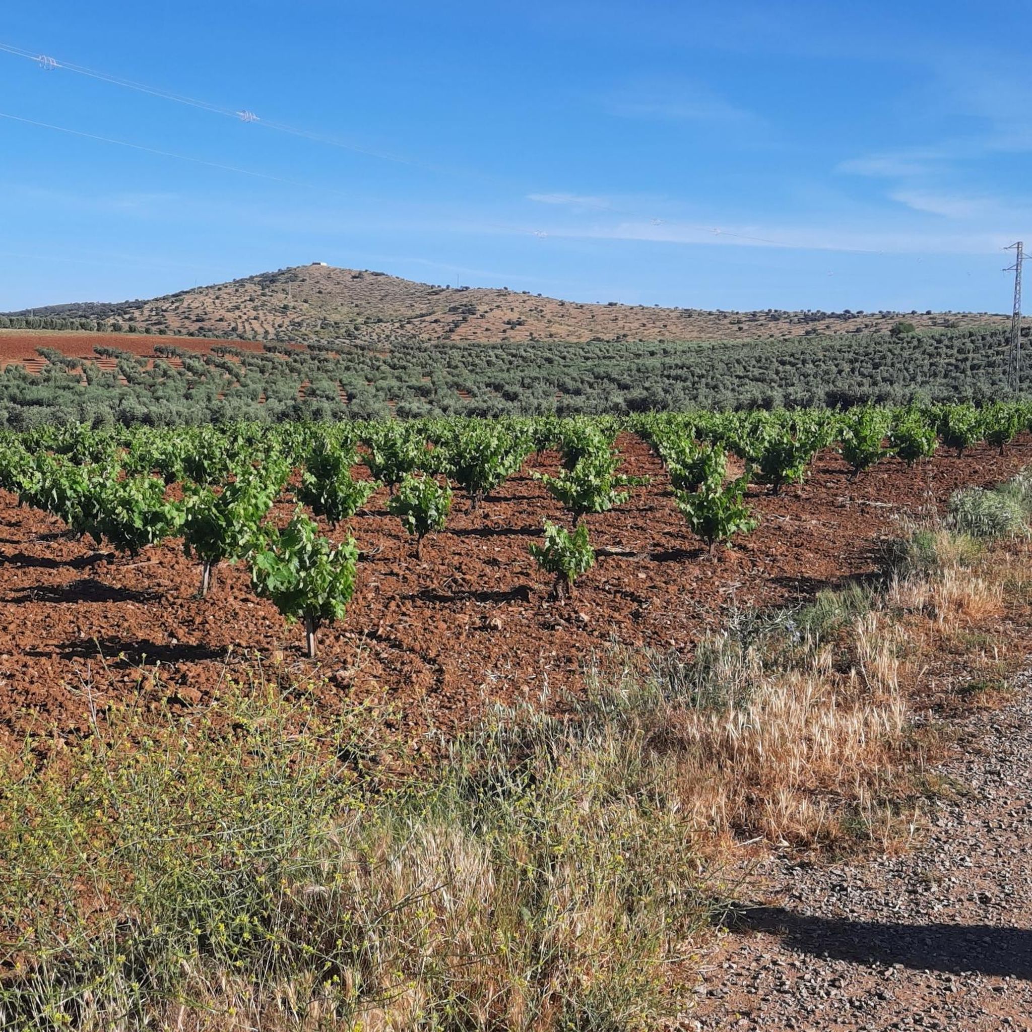
Rolling through the Sierra Suroeste in the limits of Nogales and Salvaleón, we find one of the many single tracks that we will find in this area, especially if we follow the route of the Twelve Apostles.
1
0
Picturesque path that runs along the route of the Twelve Apostles, an ideal route for lovers of hiking and mountain biking, which can be reached from Nogales or, more commonly, from Salvaleón.
1
0
Rolling through the area of the Twelve Apostles, we come across this beautiful single track that we mountain bike lovers like so much.
1
0

It is very close to Valle de Santa Ana, located on a rugged terrain near Jerez de los Caballeros. It is located on the eastern slope of the Sierra de San José.
0
1
It is very close to Valle de Santa Ana, located on a rugged terrain near Jerez de los Caballeros. It is located on the eastern slope of the Sierra de San José.
0
0
Frequently Asked Questions
How many running routes are available around Salvaleón?
There are 9 running routes around Salvaleón listed on komoot. These include a mix of moderate and difficult trails, offering options for various fitness levels.
Are there any easy running paths for beginners in Salvaleón?
While the routes listed are primarily moderate to difficult, many of the moderate loops, such as the Running loop from Salvaleón (5.1 km), can be a good starting point for beginners looking to challenge themselves. These paths offer manageable distances and elevation changes.
What are the typical lengths and durations of running routes in the Salvaleón area?
Running routes around Salvaleón vary in length. For instance, the Running loop from Barcarrota is 9.2 km (5.7 miles) and typically takes about 1 hour 3 minutes. Shorter options like the Running loop from Salvaleón are around 5.1 km (3.2 miles) and can be completed in about 33 minutes.
Are there any circular running trails in Salvaleón?
Yes, most of the popular running routes in the area are circular. Examples include the Running loop from Salvatierra de los Barros and the Running loop from Salvaleón, both designed to bring you back to your starting point.
What kind of natural attractions can I see while running near Salvaleón?
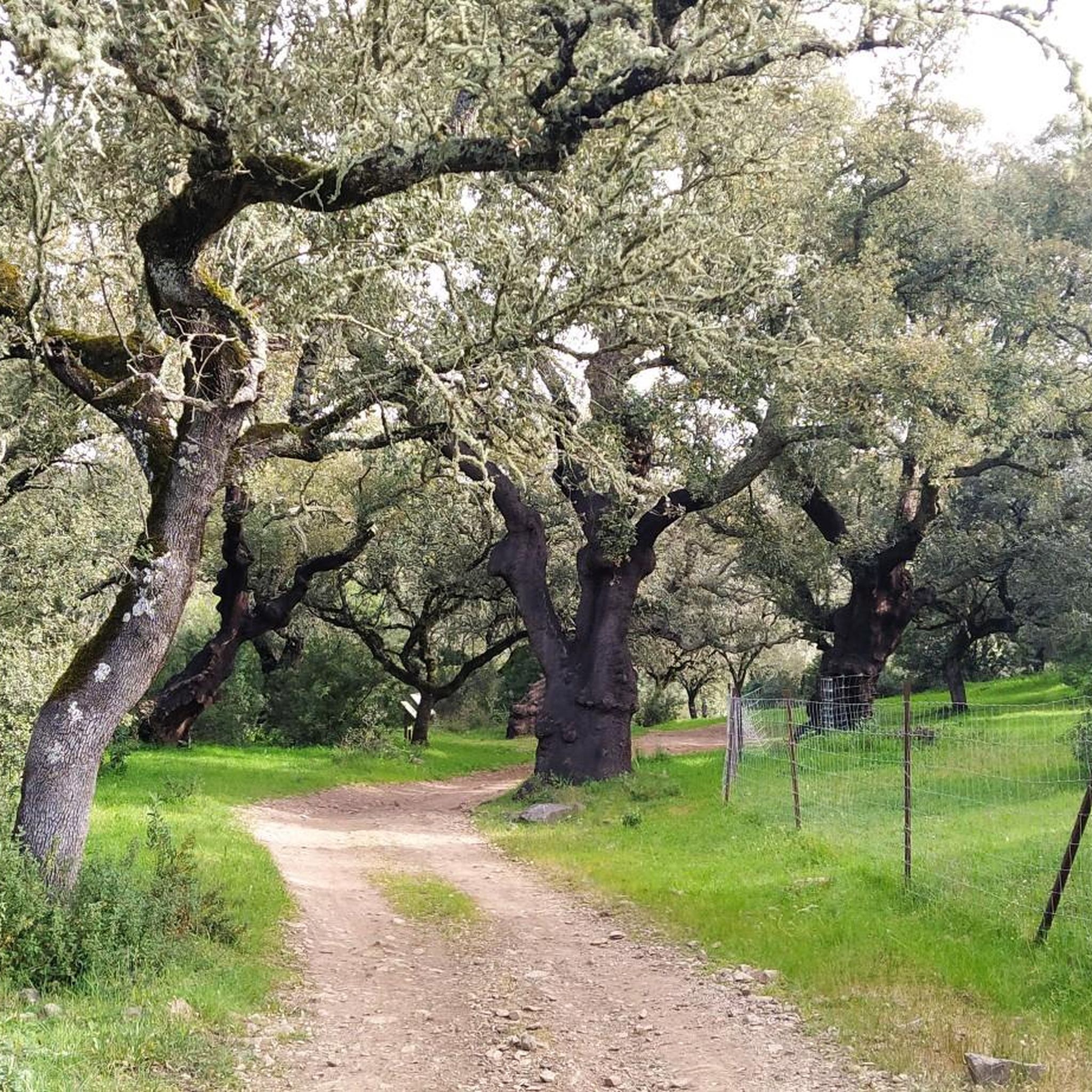
The region around Salvaleón is rich in natural beauty. You can encounter impressive natural monuments like the Ancient Olive Tree of La Tapada and The Twelve Apostles Cork Oaks. The Sierra María Andrés Special Area of Conservation also offers diverse landscapes for exploration.
Are there any historical landmarks or points of interest along the running routes?
Yes, you can combine your run with a visit to historical sites. Notable landmarks include Nogales Castle and the San Juan Hermitage of La Parra, which are accessible from some routes or nearby.
What do other runners enjoy most about the trails around Salvaleón?
Runners using komoot often appreciate the varied terrain and the opportunity to explore the natural surroundings. The accessible loops and moderate elevation changes offer enjoyable experiences for different ability levels, as evidenced by over 80 runners having explored the area with komoot.
Are there any viewpoints along the running trails in Salvaleón?
Yes, some routes offer scenic vistas. For example, the View of the Sierra de Tierra de Barros is a highlight that provides expansive views of the surrounding landscape, perfect for a brief stop during your run.
What is the best time of year for running in Salvaleón?
Salvaleón, being in Extremadura, Spain, experiences warm summers and mild winters. Spring and autumn generally offer the most pleasant temperatures for running, with comfortable conditions for outdoor activities. Winter can also be suitable, though mornings might be cooler.
Are the running routes around Salvaleón suitable for families?
Many of the moderate loop trails, especially those with shorter distances and less elevation gain, can be suitable for active families. It's always recommended to check the specific route details, such as the Running loop from Salvaleón (5.1 km), to ensure it matches your family's fitness level.
Are there dog-friendly running trails in the Salvaleón area?
Many natural trails in the Salvaleón region are generally dog-friendly, but it's always advisable to keep your dog on a leash, especially in areas with wildlife or livestock. Check local regulations and be mindful of other trail users.
Most popular attractions around Salvaleón

Get inspired with the komoot mobile app


Explore more
Browse the best Running Trails & Routes in other regions.
