The best gravel rides around Los Ausines
4.5
(3)
66
riders
13
rides
Gravel biking around Los Ausines offers diverse terrain across agricultural plains, forested areas, and mountainous sections within the province of Burgos. The region is characterized by limestone rock formations like El Castillejo, varied landscapes of the Tierra de Lara, and historical elements including Romanesque churches and ancient bridges. These features provide a range of gravel bike trails suitable for different skill levels.
Best gravel bike trails around Los Ausines
- The most popular gravel bike trail is Romanesque Bridge of Los…
Last updated: May 26, 2026
10
riders
Hard gravel ride. Very good fitness required. You may need to push your bike for some segments of this route.
10
riders
98.3km
07:44
1,220m
1,220m
Hard gravel ride. Very good fitness required. You may need to push your bike for some segments of this route.

Sign up for free
7
riders
Hard gravel ride. Very good fitness required. Mostly paved surfaces. Suitable for all skill levels.
5.0
(2)
21
riders
44.9km
02:57
540m
540m
Hard gravel ride. Very good fitness required. Mostly paved surfaces. Suitable for all skill levels.
5
riders
Hard gravel ride. Very good fitness required. Mostly paved surfaces. Suitable for all skill levels.
Get access to more routes and recommendations from other explorers.
Sign up for free
Already have an account?
Our route recommendations are based on thousands of hikes, rides, and runs completed by other people on komoot.
Start today with a free account
Your next adventure awaits.
Login or Signup
Tips from the Community

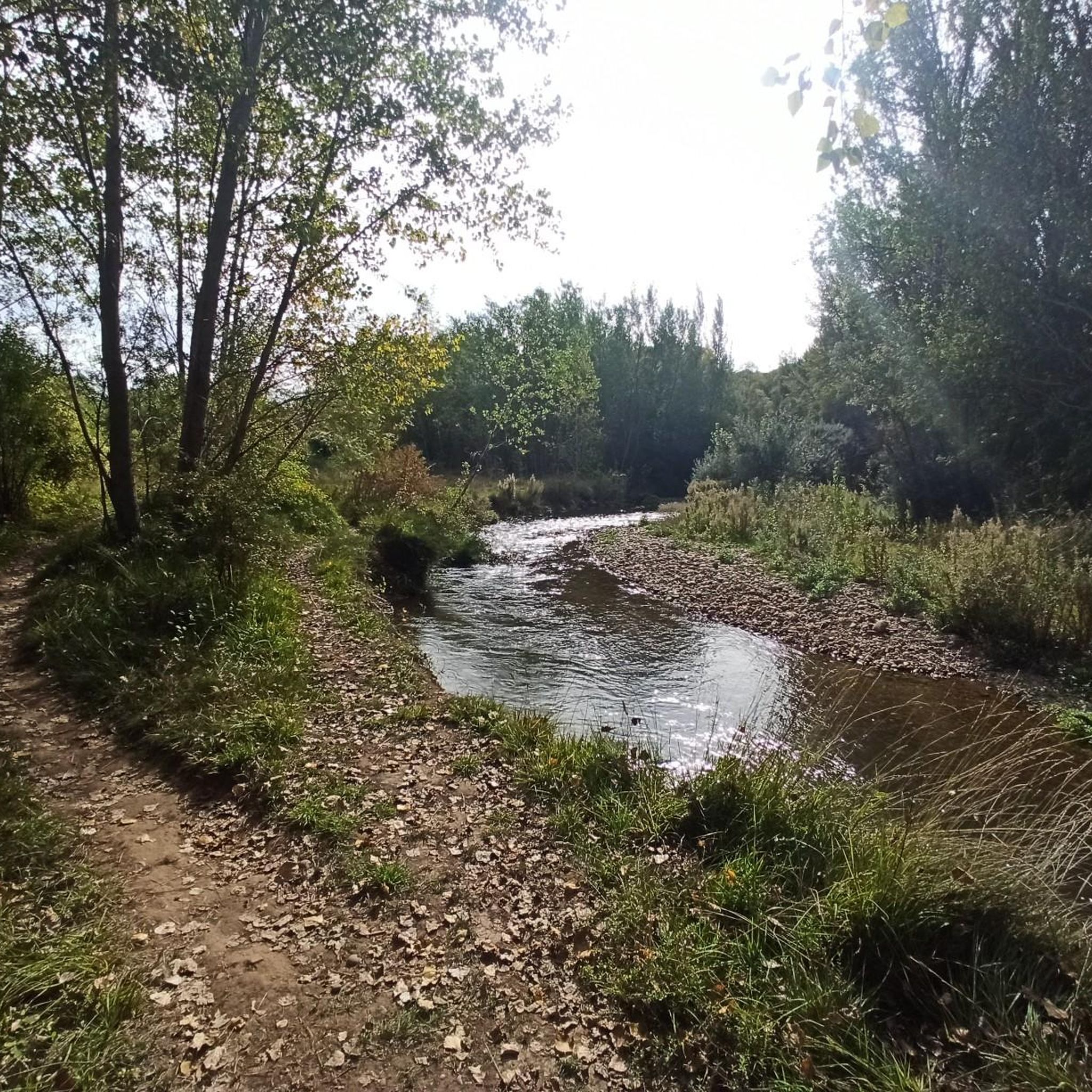
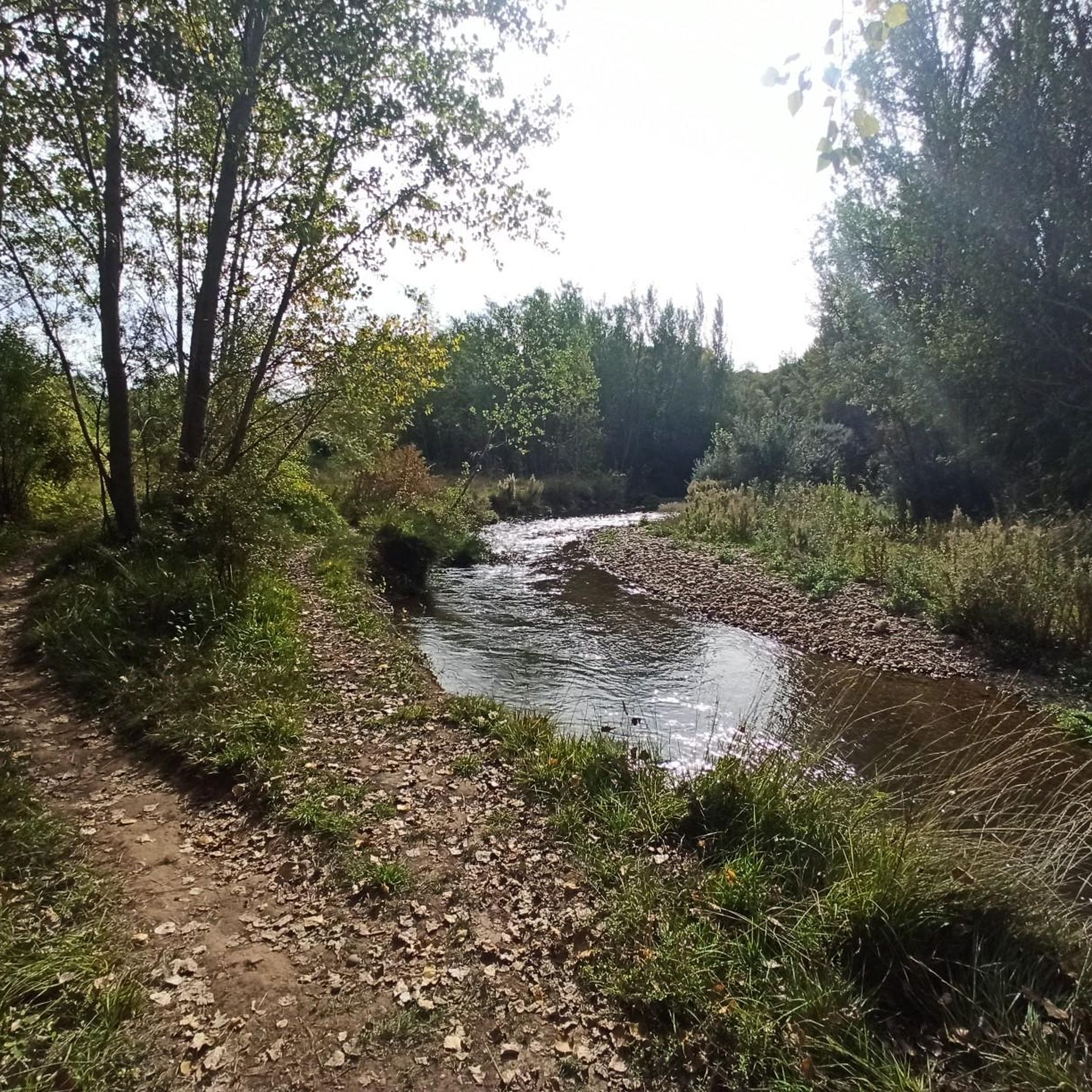
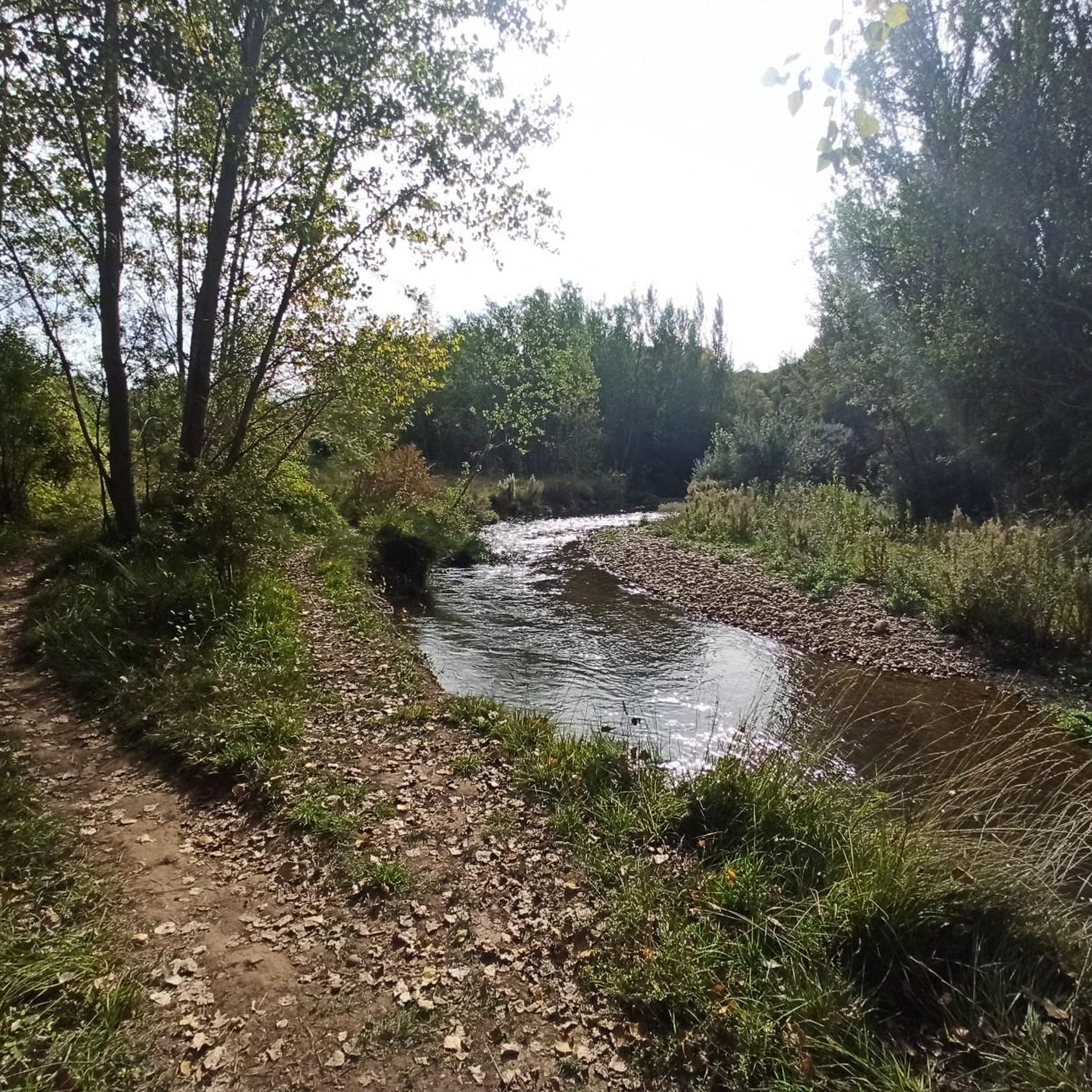
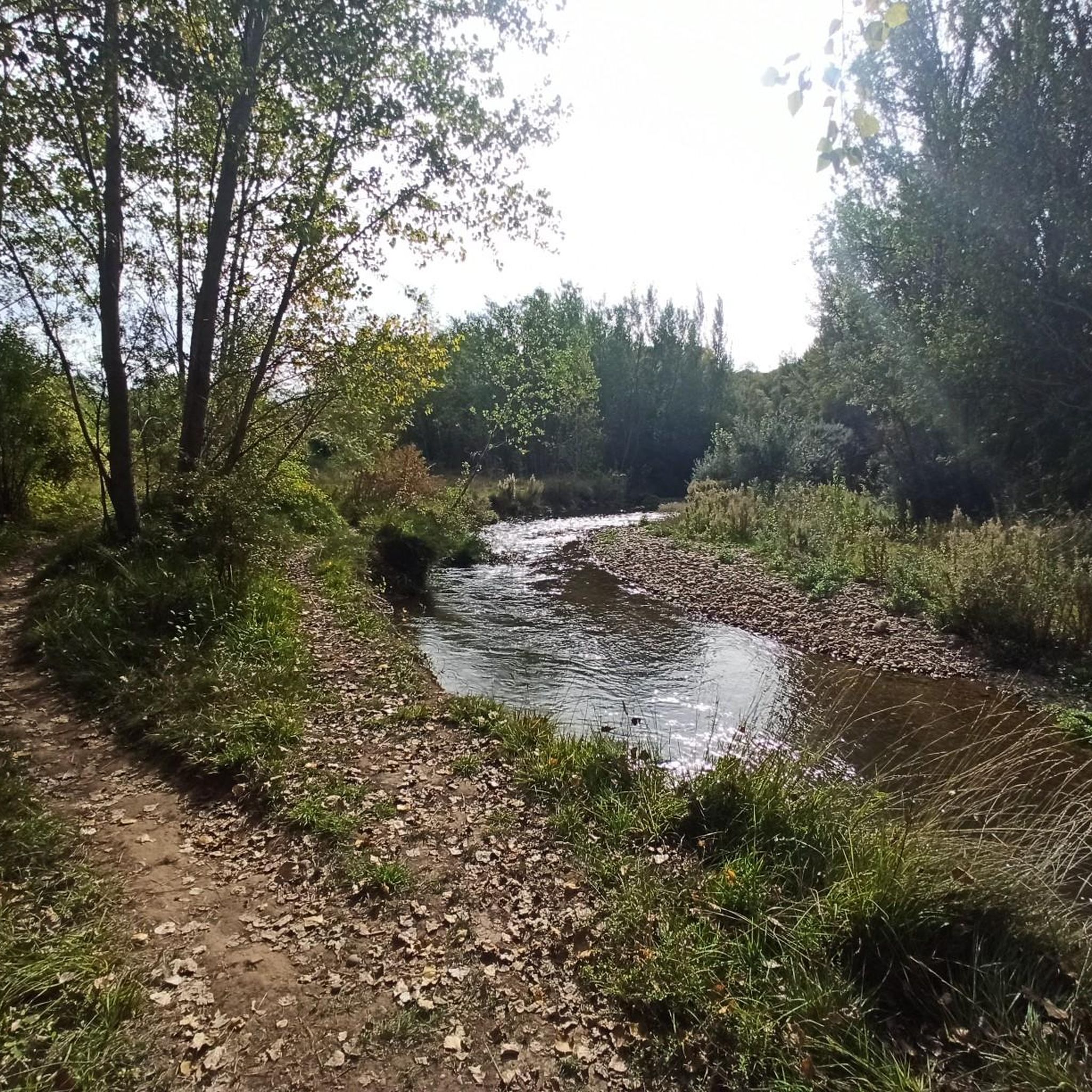
Place with a view of the stream
8
0


Located at the exit of the town on the road leading to Soria, this tower built in 1554 currently retains its battlements, also highlighting the angular cubes and the Renaissance portal with the coats of arms of the founders, Diego de Gamarra and Leonor de Serón.
0
0

Quiet town with bar and natural spaces
0
0
Part of the Alfoz de Burgos region, it is located 20 kilometers from the capital of Burgos. The municipality's relief is defined by a plateau through which the Hontoria River and several streams flow. Also notable are the limestone mines that give the town its name. The altitude ranges from 1,040 meters (Gandral Hill) to 900 meters to the north, on the banks of a stream. The town itself rises to 1,003 meters above sea level.
0
0

The Charterhouse of Santa María de Miraflores is a monastery located near the Fuentes Blancas Park, about four kilometers east of downtown Burgos. Surrounded by a lush forest, it once stood as a former hunting lodge, which King John II later converted into a monastery for Carthusian monks. Queen Isabella the Catholic converted it to house the remains of her parents John II and Isabella of Portugal, and her brother, Infante Alfonso.
26
0

Walk to the Charterhouse of Miraflores
4
0
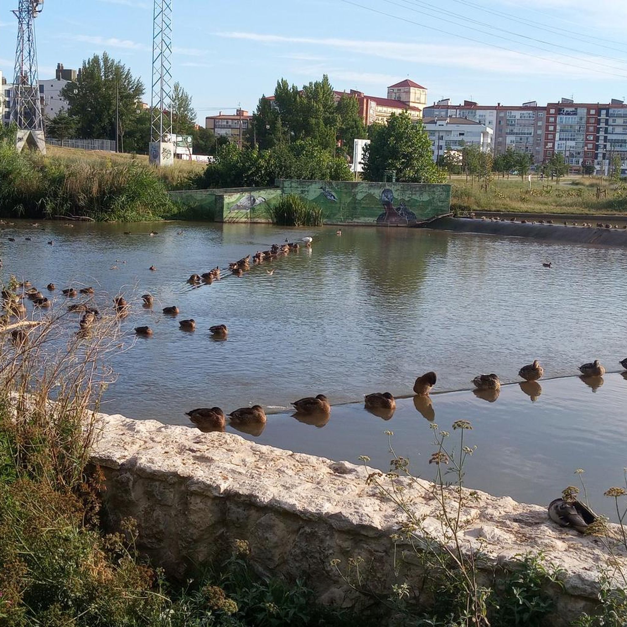
Nestled within the Fuentes Blancas Park is this river beach where it is easy to see ducks and geese.
2
0
Frequently Asked Questions
How many gravel bike trails are available in Los Ausines?
Los Ausines offers a selection of 9 gravel bike routes, providing diverse options for exploring the region's landscapes.
What kind of terrain can I expect on gravel bike routes around Los Ausines?
The terrain around Los Ausines is quite varied, ranging from agricultural plains to dense forested areas and mountainous sections. You'll encounter well-maintained wide tracks, mountain paths, and some routes that incorporate technical sections for a more challenging ride. The region is known for its limestone rock formations and the diverse environments of the Tierra de Lara.
Are there options for different skill levels, from beginners to advanced riders?
Yes, while many routes are rated as difficult, there are also moderate options available. The region's diverse terrain ensures that both experienced gravel bikers looking for a challenge and those seeking a more moderate ride can find suitable trails. For instance, routes like Romanesque Bridge of Los Ausines – Dinosaur Footprint Replicas loop from Jurisdicción de Lara offer significant elevation gain, catering to more advanced riders.
What do other gravel bikers say about the trails in Los Ausines?
The gravel biking routes in Los Ausines are highly rated by the komoot community, with an average score of 4.5 stars from 2 reviews. Over 50 gravel bikers have used komoot to explore the varied terrain, often praising the engaging riding experience and the combination of natural beauty and historical elements.
Are there any circular gravel bike routes in the area?
Yes, many of the popular gravel bike routes in Los Ausines are designed as loops. Examples include the Romanesque Bridge of Los Ausines – Dinosaur Footprint Replicas loop from Jurisdicción de Lara, the Hontoria de la Cantera – Hortigüela Table Mountain loop from Modúbar de San Cibrián, and the Capiscol Bridge – Special bridge loop from Carcedo de Burgos, allowing you to start and finish in the same location.
What historical or natural landmarks can I discover along the gravel bike routes?
The routes often pass by significant historical and natural landmarks. You can encounter the prominent limestone formation of El Castillejo, which also hosts the Romanesque hermitage of Nuestra Señora del Castillo. Other historical sites include Romanesque churches in Los Ausines and a well-preserved Roman bridge. Some routes integrate with long-distance trails like the Camino del Cid, leading to mythical places such as the Monastery of San Pedro de Cardeña. You might also pass by the Santander–Mediterráneo Greenway, a converted railway line.
Are there any notable viewpoints or scenic spots on the trails?
Absolutely. The region offers spectacular panoramic views, particularly from natural features like El Castillejo, which provides 360-degree vistas of the agricultural plains and the foothills of the Sierra de la Demanda. Routes traversing the Tierra de Lara also offer extensive views over varied landscapes, including table mountains.
Is Los Ausines suitable for family-friendly gravel biking?
While many routes in Los Ausines are rated as difficult, the presence of well-maintained wide tracks and sections of the Vía Verde Santander-Mediterráneo (a greenway) suggests that easier, less technical sections could be suitable for families. It's advisable to check individual route descriptions for specific difficulty levels and terrain before planning a family outing.
Where can I find parking for gravel biking in Los Ausines?
Specific parking information for individual trailheads is not detailed in the guide. However, routes often start from nearby towns and villages such as Jurisdicción de Lara, Modúbar de San Cibrián, or Carcedo de Burgos, where public parking facilities are typically available. It's recommended to check the starting point of your chosen route for local parking options.
What is the best time of year to go gravel biking in Los Ausines?
The diverse landscapes of Los Ausines, with agricultural plains, forests, and mountainous sections, suggest that spring and autumn would be ideal. These seasons generally offer milder temperatures and more stable weather conditions, making for a comfortable riding experience. Summer can be hot, especially on exposed plains, while winter might bring colder temperatures and potentially challenging conditions in higher or forested areas.
Are there any cafes or places to eat near the gravel trails?
While specific cafes directly on the trails are not listed, the routes often pass through or start near charming villages like Los Ausines, Hontoria de la Cantera (Hontoria de la Cantera), or Modúbar de San Cibrián. These villages typically offer local establishments where you can find refreshments and meals.
Can I access GPX routes for the gravel trails in Los Ausines?
Yes, all routes on komoot, including those around Los Ausines, are available as GPX files. You can download the GPX track for any tour, such as the Romanesque Bridge of Los Ausines – Dinosaur Footprint Replicas loop from Modúbar de San Cibrián, directly from its komoot page to use with your GPS device or app.
Most popular routes around Los Ausines
Most popular attractions around Los Ausines

Get inspired with the komoot mobile app


Explore more
Browse the best Gravel rides in other regions.
