The best MTB trails around Cincovillas
4.0
(3)
64
riders
12
rides
Mountain biking around Cincovillas offers diverse and often "broken" landscapes, providing varied terrains for all skill levels. The region, situated between Navarre and Huesca in Aragon, Spain, features a mix of ancient Roman paths, lush forests, and scenic panoramic views. Its orography includes both gentle forest trails and challenging technical routes with significant elevation changes. This area is characterized by unique geological formations and a network of routes traversing its natural and historical elements.
Best mountain bike trails around Cincovillas
…Last updated: October 9, 2026
4.0
(1)
2
riders
33.2km
02:40
390m
390m
The GR 160 - Way of El Cid MTB Trail is a moderate 20.6-mile mountain biking route through historical Spanish landscapes.
71.1km
05:45
960m
960m
This difficult 44.2-mile mountain biking loop explores the historic Tierras de Frontera, offering views of the Pálmaces reservoir.

41
riders
41.3km
03:52
780m
780m
Moderate mountain bike ride. Good fitness required. Advanced riding skills necessary.
4.0
(1)
16
riders
124km
10:01
1,510m
1,510m
Hard mountain bike ride. Very good fitness required. Advanced riding skills necessary.
4.0
(1)
3
riders
45.1km
03:29
470m
470m
Moderate mountain bike ride. Good fitness required. Suitable for all skill levels.
Get access to more routes and recommendations from other explorers.
Already have an account?
Our route recommendations are based on thousands of hikes, rides, and runs completed by other people on komoot.
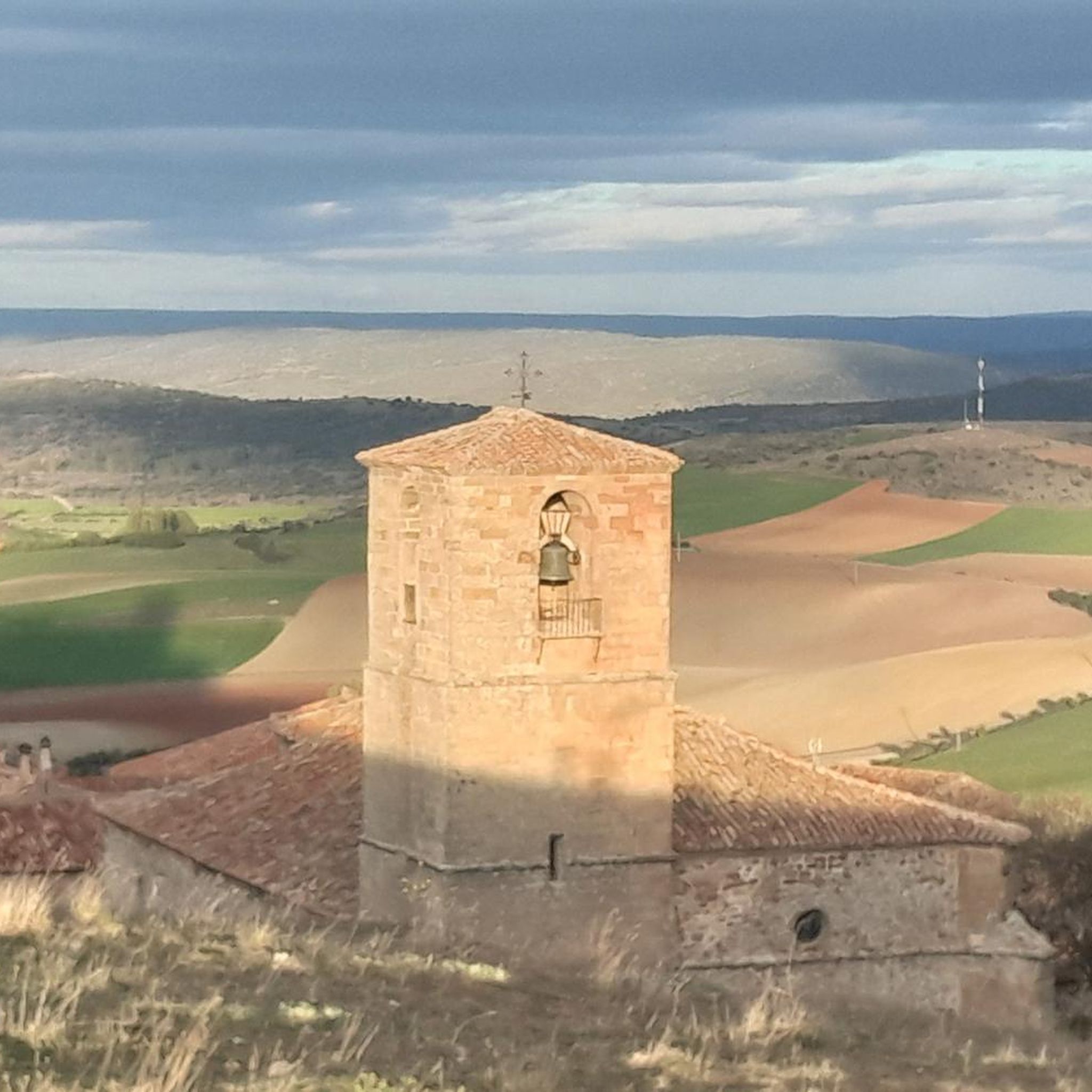
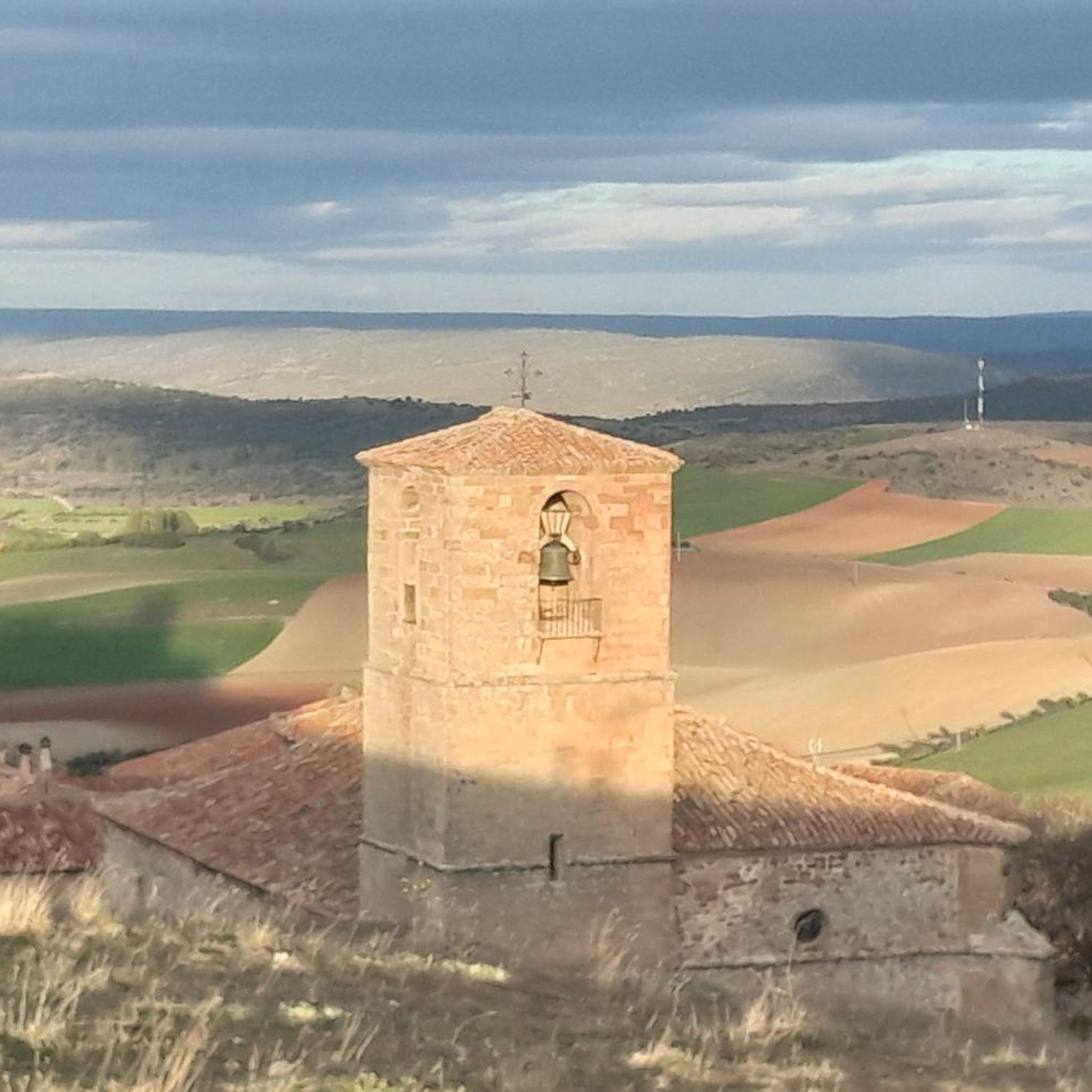

Tips from the Community

What to see 🧭 “El País de la Plata” Interpretation Center Interactive museum about local mining, open Saturdays and Sundays from 12:00 to 14:00. General admission approx. €2, free for residents and children under 14. ⛪ Santa Cecilia Parish Church 19th-century building constructed during the mining boom, with a single nave and a simple transept. 🏗️ Mining and Industrial Heritage More than 200 shafts/mines, such as Santa Catalina, Santa Teresa, Mala Noche, Fuerza, etc. Remains of ore-washing facilities like San Carlos, ruined industrial sites, and power plants.
4
0
A village in the Sierra Norte of Guadalajara, at an altitude of approximately 1,084 meters. Its origins are medieval, possibly predating the Bronze Age. The name derives from the Arabic Hisn al-Ancina (“castle of the holm oak”). In 1844, the discovery of silver triggered a “silver rush,” transforming Hiendelaencina into a major 19th-century mining district, with up to 200 mines and a population that reached 5,000. A parish church dedicated to Saint Cecilia was built between 1848 and 1851, financed with funds from the mining town.
4
0
The Lumías Waterfall, although not formally marked as a waterfall in tourist guides, is located in the natural setting of the Talegones River, in the small town of Lumías. The Talegones River runs through the town, dividing it in two, and offers crystal-clear waters, lush vegetation, abandoned orchards, and fruit trees such as cacti and elderberries.
3
0
Arenillas, in the judicial district of Almazán, is a small municipality in the province of Soria, with a rich history and a natural environment very characteristic of the Castilian plateau. The municipality is crossed by the Talegones River (a tributary of the Duero River) and the Parado River. The landscape is hilly, with grain fields and scrubland. The economy is based on agriculture (wheat, barley, rye) and sheep farming. The distillation of aromatic plants such as lavender and spike lavender is particularly noteworthy, giving rise to a small artisanal industry.
3
0
The Talegones River Canyon Bridge, although not a monumental structure like a traditional Roman or medieval bridge, is part of the nature and hiking trail that crosses this spectacular spot in the municipality of Berlanga de Duero, province of Soria.
4
0

Nice area for hiking and mountain biking trails
0
0
Ideal places for mountain biking and hiking routes
0
0
Frequently Asked Questions
How many mountain bike trails are available in Cincovillas?
Cincovillas offers a network of mountain bike trails, with 6 routes currently available on komoot. These include a mix of moderate and difficult options, catering to various skill levels.
What kind of terrain can I expect on mountain bike trails in Cincovillas?
Mountain biking in Cincovillas features diverse and often 'broken' landscapes. You can expect a mix of terrains, including ancient Roman paths, lush forests, and scenic panoramic views. The region's orography provides both gentle forest trails and more challenging technical routes with significant elevation changes.
Are there mountain bike trails suitable for beginners in Cincovillas?
While there are no trails specifically graded as 'easy' on komoot, Cincovillas offers several moderate routes that can be suitable for less experienced riders looking for a gentle challenge. The region's varied terrain includes options for family-friendly rides, often on forest paths.
Are there challenging mountain bike routes for experienced riders in Cincovillas?
Yes, Cincovillas provides challenging mountain bike routes for experienced riders. For example, the Camino del Cid BTT: Tierras de Frontera Loop is a difficult 44.1-mile (71.1 km) path with significant elevation changes, traversing varied terrain. Another demanding option is the Riverside Rest Area – Pelegrina Castle loop from Cerro Grande, which spans 77.3 miles (124.4 km) and includes over 1500 meters of ascent.
What natural features can I discover along mountain bike trails in Cincovillas?
Cincovillas is rich in natural features. You can encounter unique geological formations like the whimsical shapes at Aguarales de Valpalmas. The region also boasts numerous endorheic spaces with over 50 small lagoons or ponds, as well as larger reservoirs like Gancho and Moncayuelo, which are ideal for birdwatching. Natural wells such as Pigalo in Luesia offer refreshing stops.
Are there historical sites or landmarks to see while mountain biking in Cincovillas?
Yes, Cincovillas integrates rich history with its natural beauty. You can explore medieval features, Romanesque churches, and castles. Notable historical sites include the Castle of Atienza and the Roman ruins at Los Bañales, which feature remains of an aqueduct. The GR 160 - Way of El Cid MTB Trail, for instance, follows historical paths, blending cultural and natural scenery.
Which mountain bike trails offer the best viewpoints in Cincovillas?
The 'broken' landscapes of Cincovillas provide spectacular views from various points. While specific trails are not highlighted for viewpoints, routes passing near the Sanctuary of Monllor (Luna), the castle of Sora (near Castejon de Valdesaja), and the chapel of Sancho Abarca (Tauste) are known for their vistas. The road between Uncastillo and Sos del Rey Católico also offers amazing panoramic views.
Are there any circular mountain bike routes in Cincovillas?
Yes, Cincovillas offers several circular mountain bike routes. A notable example is the Camino del Cid BTT: Tierras de Frontera Loop, a difficult 44.1-mile (71.1 km) route. Another option is the Riverside Rest Area – Pelegrina Castle loop from Cerro Grande, a long 77.3-mile (124.4 km) loop.
What is the best time of year for mountain biking in Cincovillas?
Cincovillas is suitable for mountain biking throughout much of the year. The region's diverse ecosystems, from oak and beech forests to steppes, offer varied experiences. Spring and autumn generally provide pleasant temperatures and vibrant scenery, while water features like natural wells are especially enjoyable in summer. It's always advisable to check local weather conditions before heading out.
What do other mountain bikers enjoy most about mountain biking in Cincovillas?
The mountain bike trails in Cincovillas are highly rated by the komoot community, with an average score of 4.0 stars. Riders often praise the varied terrain, which includes ancient Roman paths and lush forests, as well as the unique blend of natural beauty and historical elements found along the routes.
Are there any long-distance mountain biking routes that pass through or near Cincovillas?
Yes, Cincovillas is part of an extensive network of routes. The region offers unique opportunities with the Prepyr 365 routes, which are shared with the Hoya de Huesca and Somontano-Barbastro regions, providing options for trekking and mountain biking. Additionally, the Cyclo5Villas initiative has established 10 dedicated MTB routes that traverse the comarca from north to south and east to west.
Most popular routes around Cincovillas
Most popular attractions around Cincovillas

Get inspired with the komoot mobile app


Explore more
Browse the best MTB trails in other regions.
