The best running trails around Alcalá De Los Gazules
3.0
(1)
84
runners
13
runs
Jogging around Alcalá De Los Gazules offers routes through varied terrain, characterized by its natural park setting. The landscape features include hills and peaks, such as Picacho and Aljibe, alongside gorges and forested areas. Many running routes provide opportunities to explore the region's natural beauty and elevation changes.
Best jogging routes around Alcalá De Los Gazules
- The most popular jogging route is Picacho – Aljibe loop from Sendero Garganta de Puerto Oscuro, an 8.6 miles (13.8 km) trail that…
Last updated: July 6, 2026
17
runners
25.7km
03:30
1,210m
1,210m
Hard run. Very good fitness required. Mostly paved surfaces. Suitable for all skill levels.
3
runners
5.68km
00:37
90m
90m
Moderate run. Good fitness required. Mostly paved surfaces. Suitable for all skill levels.

Sign up for free
5
runners
19.2km
02:08
180m
180m
Hard run. Very good fitness required. Mostly paved surfaces. Suitable for all skill levels.
7
runners
Hard run. Very good fitness required. Mostly paved surfaces. Suitable for all skill levels.
4
runners
5.85km
00:42
70m
70m
Moderate run. Good fitness required. Mostly paved surfaces. Suitable for all skill levels.
Get access to more routes and recommendations from other explorers.
Sign up for free
Already have an account?
Our route recommendations are based on thousands of hikes, rides, and runs completed by other people on komoot.
Start today with a free account
Your next adventure awaits.
Login or Signup
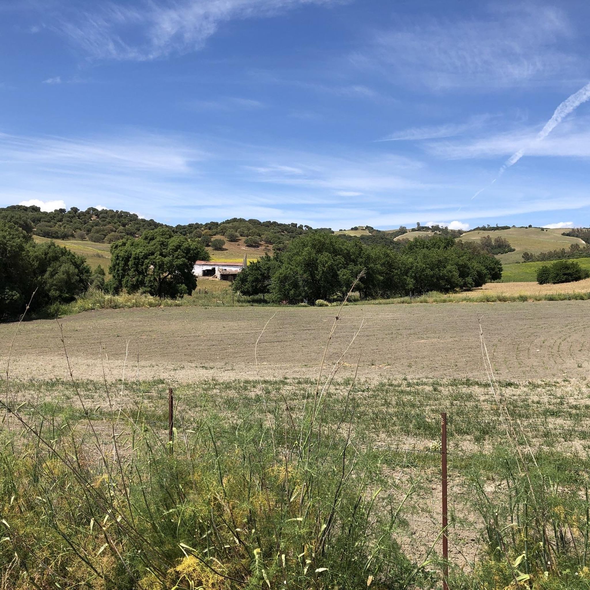
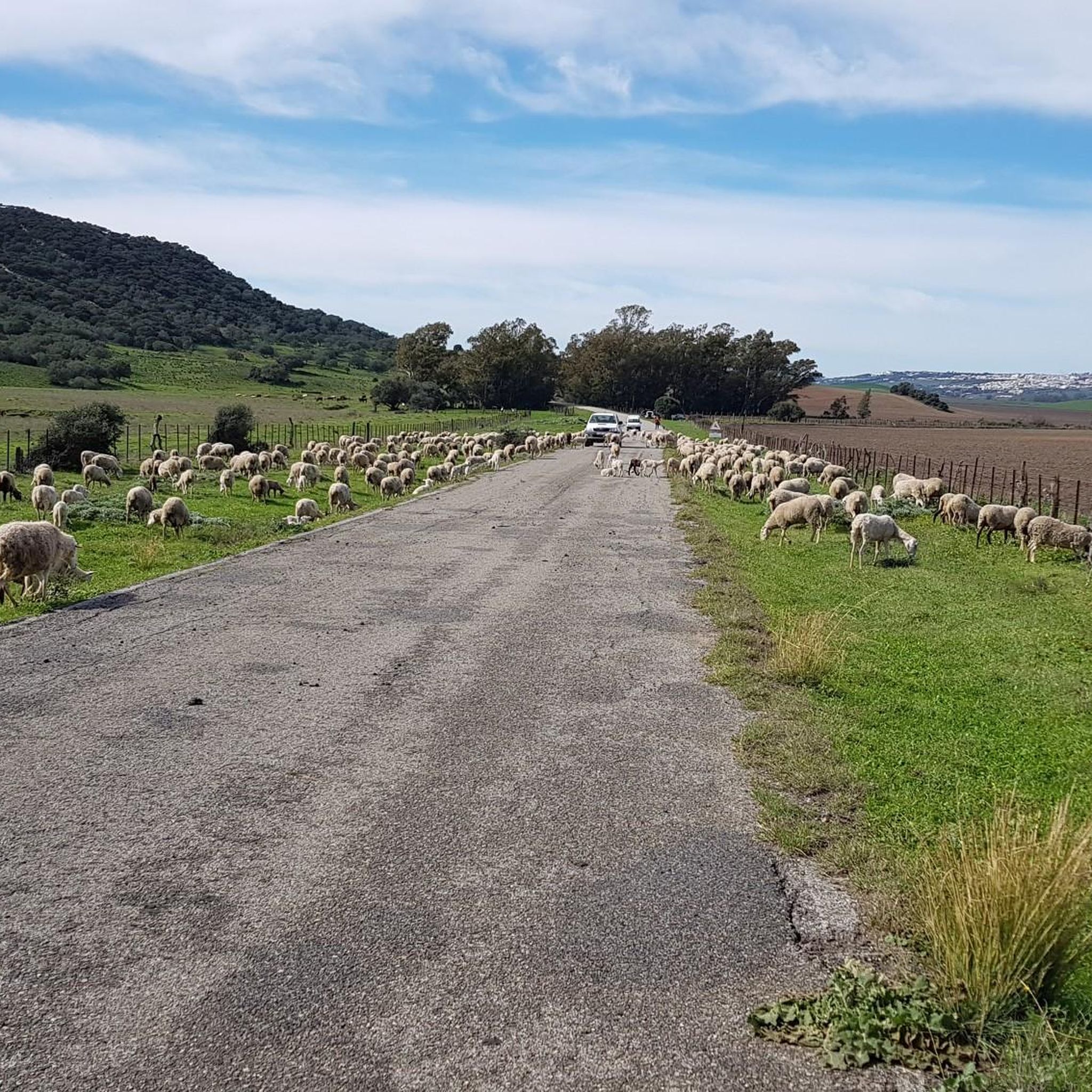
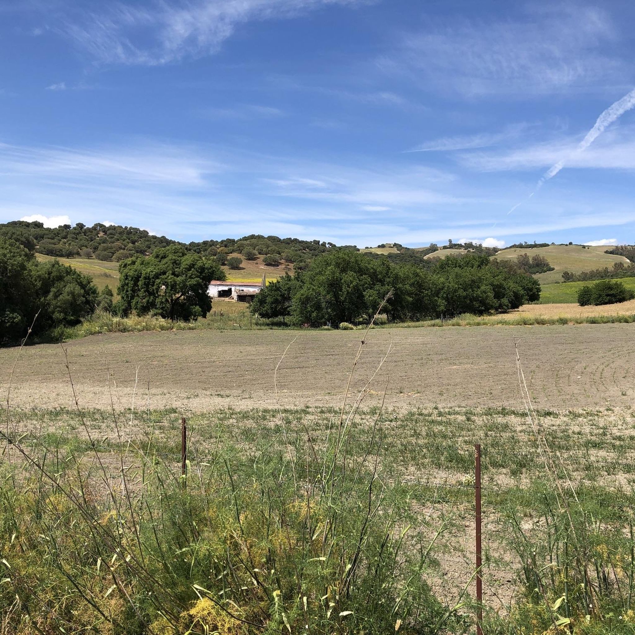
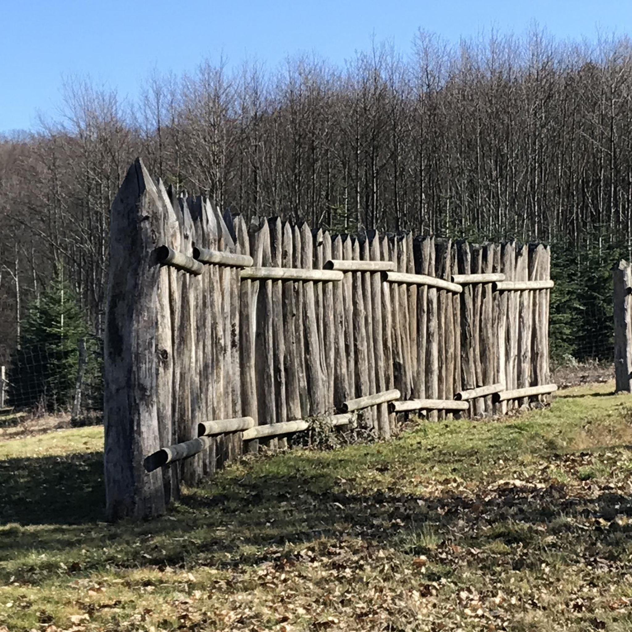
Tips from the Community

La Sauceda is located in a very beautiful natural setting. It is famous for having been a refuge for many Andalusians during the beginning of the Spanish civil war.
0
0
The Moral lagoon is located in a part of the Route that is full of cork oaks and gall oaks. A wonderful place to see the colors of nature reflected in its crystalline waters. In summer it usually dries out.
0
0
Aljibe Peak is the highest point in the Alcornocales Natural Park. Likewise, it is also the mountain range that bears its own name. Don't miss the views from this border point between Cádiz and Málaga.
0
0

Good place to rest surrounded by nature and with magnificent views of Mount Picacho
0
0
A town that became famous for the events of Casas Viejas - the anarchist insurrection of 1933. To learn more, it is worth going through the Memorial Space on Calle Nueva 30
0
0
Frequently Asked Questions
How many running routes are available in Alcalá De Los Gazules?
There are 14 dedicated jogging routes around Alcalá De Los Gazules listed on komoot. These routes offer a variety of experiences, primarily featuring moderate to difficult terrain within the natural park setting.
Are there any easy jogging routes for beginners in Alcalá De Los Gazules?
The jogging routes around Alcalá De Los Gazules are generally characterized by hilly terrain and varied elevation profiles. According to komoot data, there are no routes specifically classified as 'easy'. Most routes are either moderate or difficult, making them more suitable for runners with some experience.
What are some moderate running options in the area?
While many routes are challenging, you can find moderate options like the Running loop from Paterna de Rivera. This 3.6-mile (5.8 km) trail leads through rural landscapes and is often completed in about 41 minutes, offering a less strenuous experience compared to the more mountainous trails.
Are there any circular jogging trails around Alcalá De Los Gazules?
Yes, many of the running routes in the area are circular, allowing you to start and finish at the same point. A notable example is the Picacho – Aljibe loop from Sendero Garganta de Puerto Oscuro, which is an 8.6-mile (13.8 km) difficult route offering significant elevation gain.
What kind of terrain can I expect on the jogging routes?
The terrain around Alcalá De Los Gazules is predominantly hilly, with routes often traversing natural park trails. You can expect varied elevation profiles, including significant climbs, especially on routes leading to peaks like Picacho and Aljibe. The landscape features forested areas and gorges, providing a diverse running environment.
What do other runners say about the trails in Alcalá De Los Gazules?
The running routes in Alcalá De Los Gazules are highly rated by the komoot community, with an average score of 4.0 stars from over 2 reviews. More than 100 runners have used komoot to explore the varied terrain, often praising the challenging nature and the natural beauty of the park setting.
Are there any viewpoints or scenic spots along the running routes?
Absolutely. Given the hilly terrain and natural park setting, many routes offer excellent viewpoints. Trails like the Picacho loop from Sendero Garganta de Puerto Oscuro provide challenging runs with rewarding views of the surrounding hills and the broader landscape of the natural park.
What attractions can I see near the jogging routes?
While running, you might be close to several interesting points. For instance, the Riverside Trail in Parque Natural Los Alcornocales offers a natural highlight. You can also find man-made structures like the Barbate Reservoir Dam Path or the Celemín Footbridge in the wider area.
Are there any routes that pass by lakes or reservoirs?
Yes, the region features several bodies of water. The Charco Redondo Reservoir and the Barbate Dam are notable lakes and reservoirs in the vicinity, offering scenic views that some running routes may approach or pass by.
What is the longest challenging running route available?
For those seeking a significant challenge, the View of El Picacho – Aljibe Peak loop from Sendero Garganta de Puerto Oscuro is a difficult 16-mile (25.7 km) route with over 1200 meters of elevation gain, making it one of the most demanding options for experienced runners.
Are there any routes that explore the El Picacho Recreation Area?
Yes, several routes delve into this area. The El Picacho Recreation Area – Aljibe Peak loop from Sendero Garganta de Puerto Oscuro is a difficult 8.6-mile (13.8 km) route that provides an immersive experience within the recreation area, featuring significant elevation changes.
Most popular routes around Alcalá De Los Gazules
Most popular attractions around Alcalá De Los Gazules

Get inspired with the komoot mobile app


Explore more
Browse the best Running Trails & Routes in other regions.
