The best cycling routes around Blacos
14
riders
1
ride
Touring cycling routes around Blacos offer diverse terrain in the Soria province of Spain. The region is characterized by varied landscapes, including areas near the Source of the Río Abión and the Fuentona Natural Monument. Cyclists can expect a mix of paved and unpaved segments, with routes passing through natural beauty and historical points of interest. The elevation changes provide options for different fitness levels, from moderate climbs to more challenging ascents.
Best touring cycling routes around Blacos
- The most…
Last updated: July 6, 2026
4
riders
39.8km
02:40
380m
380m
Moderate bike ride. Good fitness required. Mostly paved surfaces. Suitable for all skill levels.
4
riders
36.6km
02:17
420m
420m
Moderate bike ride. Good fitness required. Mostly paved surfaces. Suitable for all skill levels.

Sign up for free
4
riders
69.8km
04:26
870m
870m
Hard bike ride. Very good fitness required. Mostly paved surfaces. Suitable for all skill levels.
2
riders
16.8km
01:04
190m
190m
Moderate bike ride. Good fitness required. Mostly paved surfaces. Suitable for all skill levels.
Our route recommendations are based on thousands of hikes, rides, and runs completed by other people on komoot.
Start today with a free account
Your next adventure awaits.
Login or Signup
Popular around Blacos
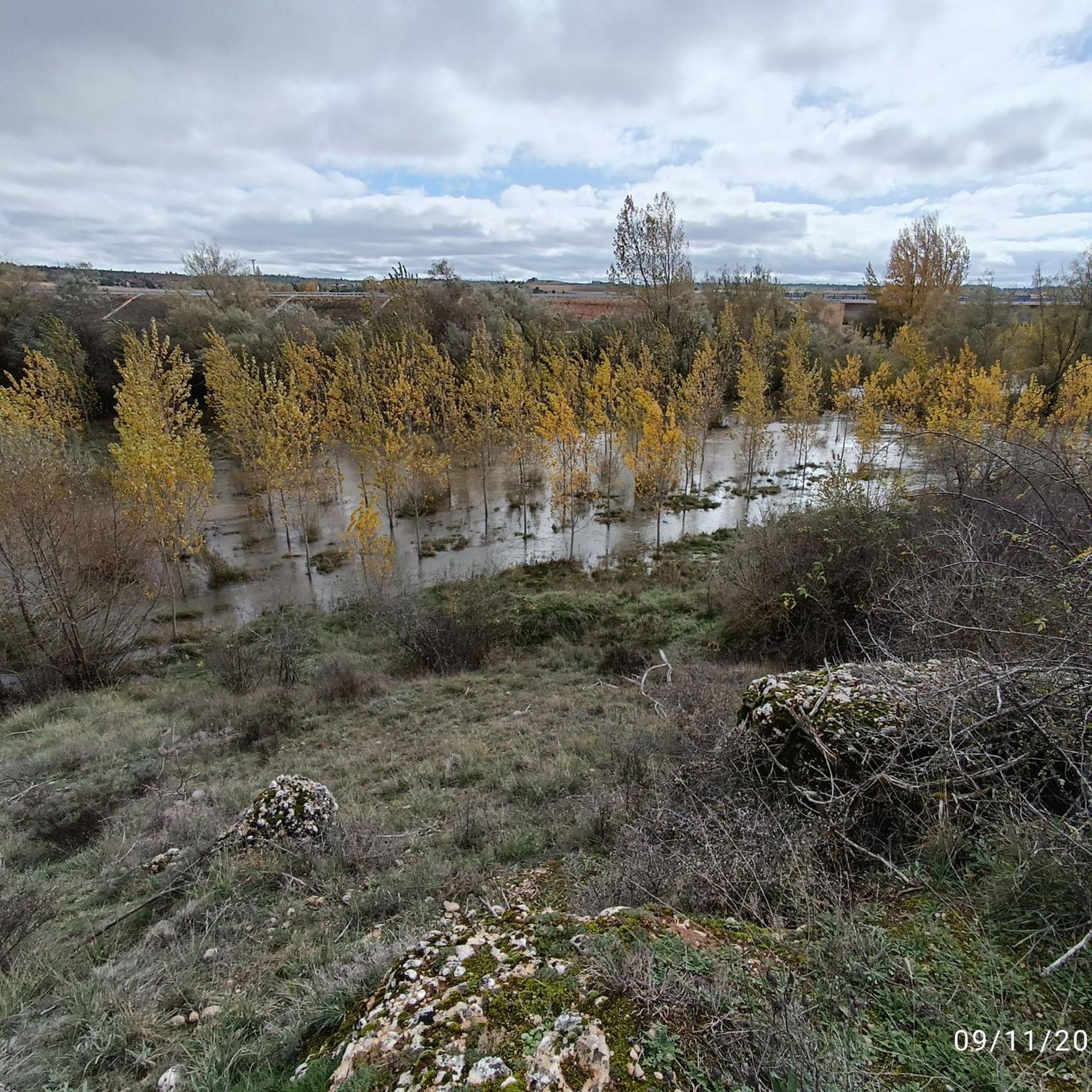
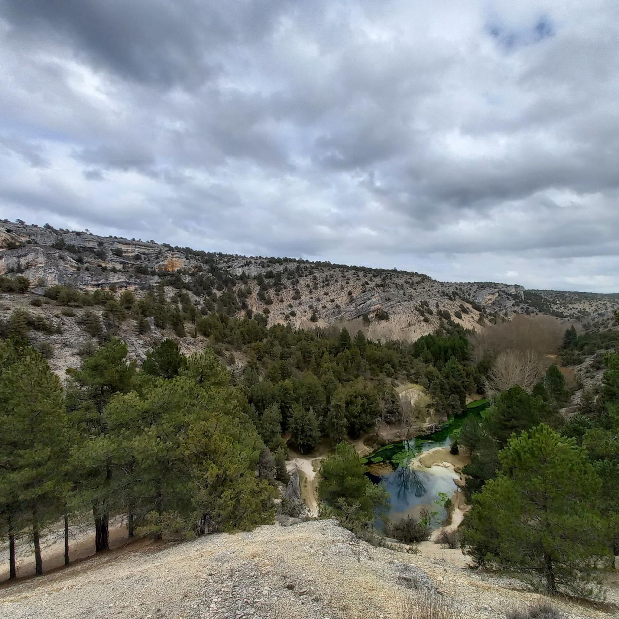

Tips from the Community


Church with a fortified tower. Good supplies at the gas station.
0
0

San Leonardo de Yagüe Km 61. Altitude 1,060. The Greenways and Nature Trails networks restore old railway lines from the late 19th and early 20th centuries, when engineers marked the placement of rails following the terrain and elevations, avoiding steep slopes, something unthinkable in today's railway designs. The railway weaves through the mountain pine forests and passes far from Navaleno; even the old station is off the route, although it appears to be undergoing restoration. In San Leonardo de Yagüe, however, a cinematic curiosity of the railway remains visible. Before reaching the town, the rails that were the setting for a sequence in the film Doctor Zhivago appear, where Zhivago meets Strelnikov. This scene is set with photos from the film and the famous Mikado locomotive, an interesting location for classic film lovers. The town is a fine example of the region's pine architecture. It has stately homes, remains of a 16th-century castle, and the town square features a pine tree raised during the "pingada de mayo" (May Pingada), a popular festival held by local youths who select a large pine tree from the forest and hoist it (pingan) using wooden forks and ropes until the trunk is positioned vertically in the town square. The descent to Hontoria del Pinar is fast; the bike can reach 30 kilometers per hour without applying pressure on the pedals. It's a delightful stretch in the kingdom of the pine forest. The current development of the Nature Trail ends at the entrance to the town, near the Lobos River. It looks like the end of the road, but it's actually a break in the signage work to Cascajares del Campo. These will soon be completed, and the trail will continue to the Engaña Tunnel, in the Cantabrian Mountains. In Hontoria, I have prepared a connecting section to Duruelo de la Sierra to return to Soria along the Senda del Duero. The trail is fairly simple and obvious, following the forest trails of the pine forests. It climbs up the Palacios de la Sierra road and crosses the mountain range to pass by the Presón Refuge and the Castroverde Refuge, in case anyone prefers to spend the night in the pine forest. The climb to the Balcón de Pilatos has some rather steep slopes at the end of the stage through the Umbría mountain range. It's the last warm-up before a comforting descent along the Duruelo de la Sierra road.
0
0

Stations have no roof or are locked. No campspot
0
0
A beautiful village in the PINARES region, in the province of Soria
0
0

Southern slope of the Sierra de Cabrejas
0
0

Monotonous road with many thistles to avoid
0
0
Frequently Asked Questions
How many touring cycling routes can I find around Blacos?
There are over 5 touring cycling routes available around Blacos, offering a variety of experiences for different skill levels. These routes are well-regarded by the komoot community.
What kind of terrain can I expect on touring cycling routes near Blacos?
The terrain around Blacos is diverse, featuring a mix of paved and unpaved segments. You can expect varied landscapes, including areas near the Source of the Río Abión and the Fuentona Natural Monument. Routes range from moderate climbs to more challenging ascents, catering to different fitness levels.
Are there any routes suitable for beginners or those looking for an easier ride?
While many routes in the immediate vicinity of Blacos are considered moderate to difficult, options like the Calatañazor Castle Ruins – Abejar loop from Torca del Castellano offer a moderate challenge. For slightly shorter, moderate options, the Ucero – Río Lobos loop from Talveila is a good choice, leading through areas of natural beauty.
What natural attractions can I see while cycling around Blacos?
Many routes pass through or near significant natural features. You can discover the origins of the Río Abión at the Source of the Abión River, located near the beautiful La Fuentona de Muriel Natural Monument. Some routes might also bring you close to El Chorrón Waterfall.
Are there historical sites or landmarks to explore along the cycling routes?
Yes, the area is rich in history. Cyclists can encounter the Calatañazor Castle, which is featured on routes like the Calatañazor Castle – Cabrejas del Pinar Castle loop from Calatañazor. The Romanesque Church of San Andrés, known for its Mudejar style, is also a notable historical point of interest in the region.
Are there any circular touring cycling routes available from Blacos?
Many of the touring cycling routes around Blacos are designed as loops, allowing you to start and end in the same location. Examples include the challenging Calatañazor Castle – Cabrejas del Pinar Castle loop from Calatañazor and the moderate Calatañazor Castle Ruins – Abejar loop from Torca del Castellano.
What is the best time of year for touring cycling in Blacos?
The region around Blacos offers pleasant cycling conditions during spring and autumn, when temperatures are milder. Summer can be warm, but early mornings or late afternoons are often suitable. Winter cycling is possible, but some segments might be unpaved and weather conditions can be more demanding.
Are there any family-friendly cycling options near Blacos?
While specific family-designated routes are not detailed, the region offers varied distances and difficulties. For families with older children or those comfortable with moderate distances, routes like the Ucero – Río Lobos loop from Talveila (36.6 km) could be considered, depending on the family's fitness level and experience with mixed terrain.
Can I bring my dog on the touring cycling trails around Blacos?
Many natural areas in Spain are dog-friendly, but it's always recommended to keep dogs on a leash, especially in protected natural monuments like La Fuentona or near wildlife. Check local regulations for specific trails or natural parks you plan to visit to ensure compliance.
Are there places to eat or drink along the cycling routes near Blacos?
The routes often pass through or near small villages where you might find local cafes, pubs, or restaurants. For example, the San Leonardo de Yagüe – Ucero loop from Muriel Viejo passes through several settlements where amenities could be available. It's advisable to carry sufficient water and snacks, especially on longer stretches.
What do other touring cyclists enjoy the most about touring cycling in Blacos?
The area is highly rated by the komoot community, with an average score of 5.0 stars. Reviewers often praise the diverse terrain, the blend of natural beauty with historical sites, and the opportunity to explore less-traveled paths through the Soria province.
Are there any challenging routes for experienced touring cyclists?
Yes, for experienced cyclists seeking a challenge, routes like the Calatañazor Castle – Cabrejas del Pinar Castle loop from Calatañazor (50.7 km with over 640m elevation gain) or the San Leonardo de Yagüe – Ucero loop from Muriel Viejo (69.8 km with over 870m elevation gain) offer significant ascents and demanding distances.
Where can I park my car when starting a touring cycling route in Blacos?
While specific parking information for each trailhead isn't always detailed, most villages and towns that serve as starting points for routes, such as Calatañazor or Muriel Viejo, typically offer public parking options. It's recommended to check local village maps or signs upon arrival.
Most popular routes around Blacos
Most popular attractions around Blacos

Get inspired with the komoot mobile app


Explore more
Browse the best Cycling routes in other regions.
