The best running trails around Cascajares De Bureba
43
runners
7
runs
Jogging around Cascajares De Bureba offers routes through a landscape characterized by varied terrain, including significant elevation changes and natural features. The region features a mix of open areas and more rugged paths, with many routes traversing hills and offering expansive views. These running routes often involve sustained climbs and descents, providing a challenging experience for runners. The natural environment around Cascajares De Bureba is well-suited for those seeking an active outdoor experience.
Best jogging routes around Cascajares De Bureba
…Last updated: May 26, 2026
9.82km
01:25
390m
390m
Hard run. Very good fitness required. Mostly accessible paths. Some sure footedness required.
10
runners
20.3km
03:19
1,060m
1,060m
Hard run. Very good fitness required. Sure-footedness, sturdy shoes and alpine experience required.

Sign up for free
11
runners
10.1km
02:06
770m
770m
Hard run. Very good fitness required. Sure-footedness, sturdy shoes and alpine experience required.
7
runners
12.7km
01:48
500m
500m
Hard run. Very good fitness required. Mostly paved surfaces. Suitable for all skill levels.
5
runners
17.0km
02:21
620m
620m
Hard run. Very good fitness required. Mostly paved surfaces. Suitable for all skill levels.
Get access to more routes and recommendations from other explorers.
Sign up for free
Already have an account?
Our route recommendations are based on thousands of hikes, rides, and runs completed by other people on komoot.
Start today with a free account
Your next adventure awaits.
Login or Signup
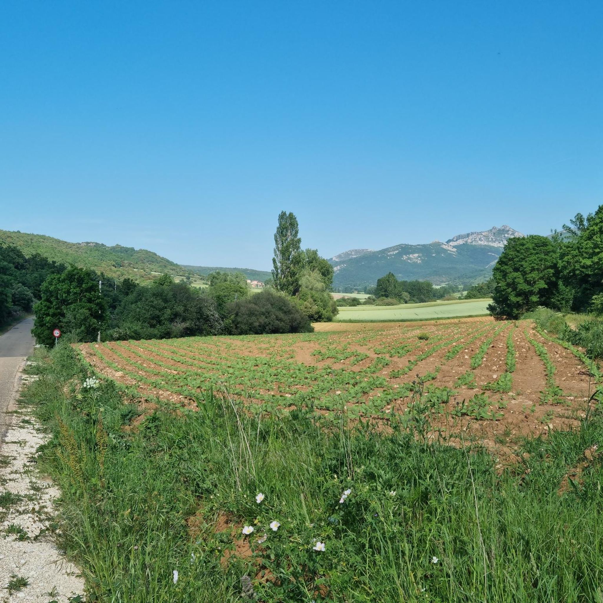
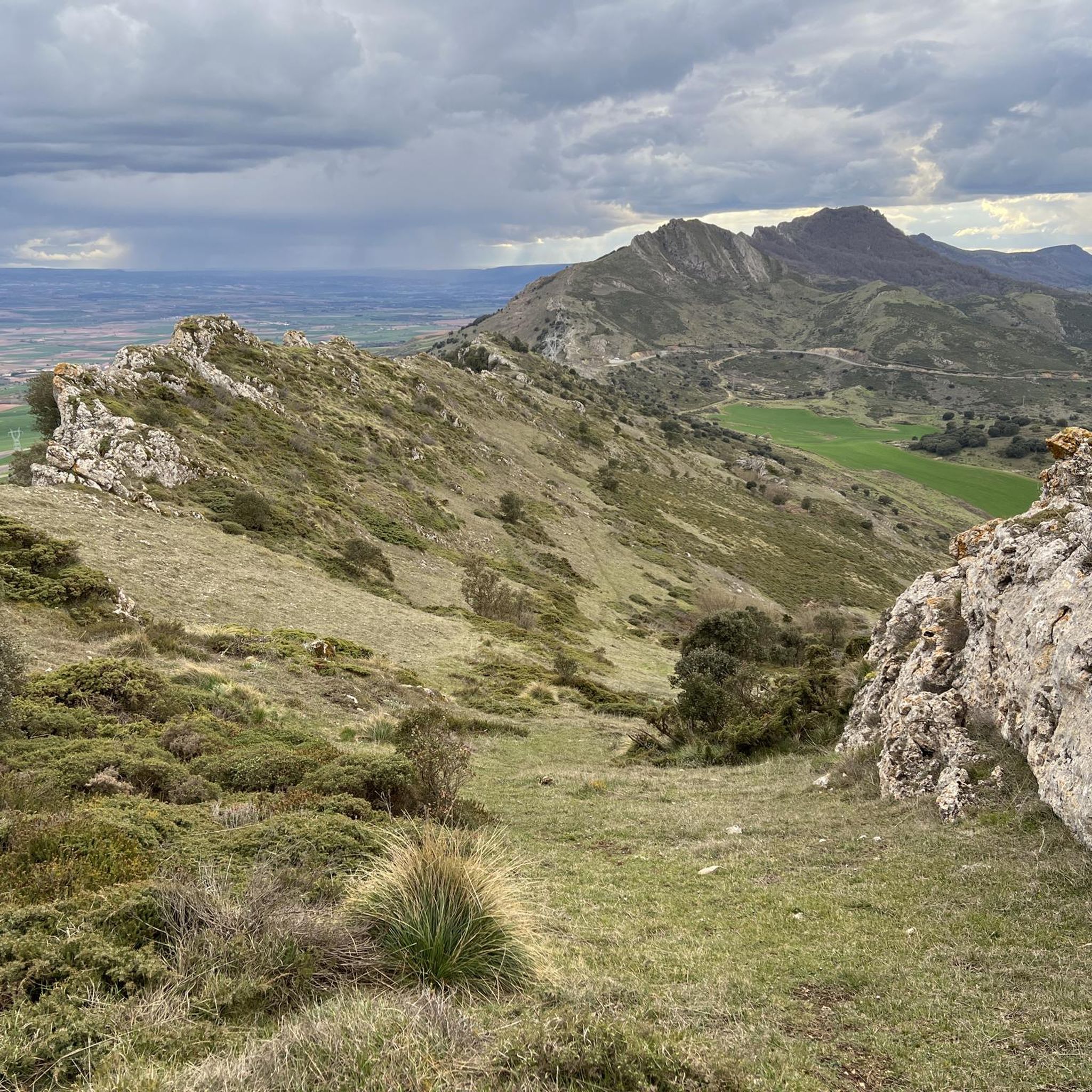
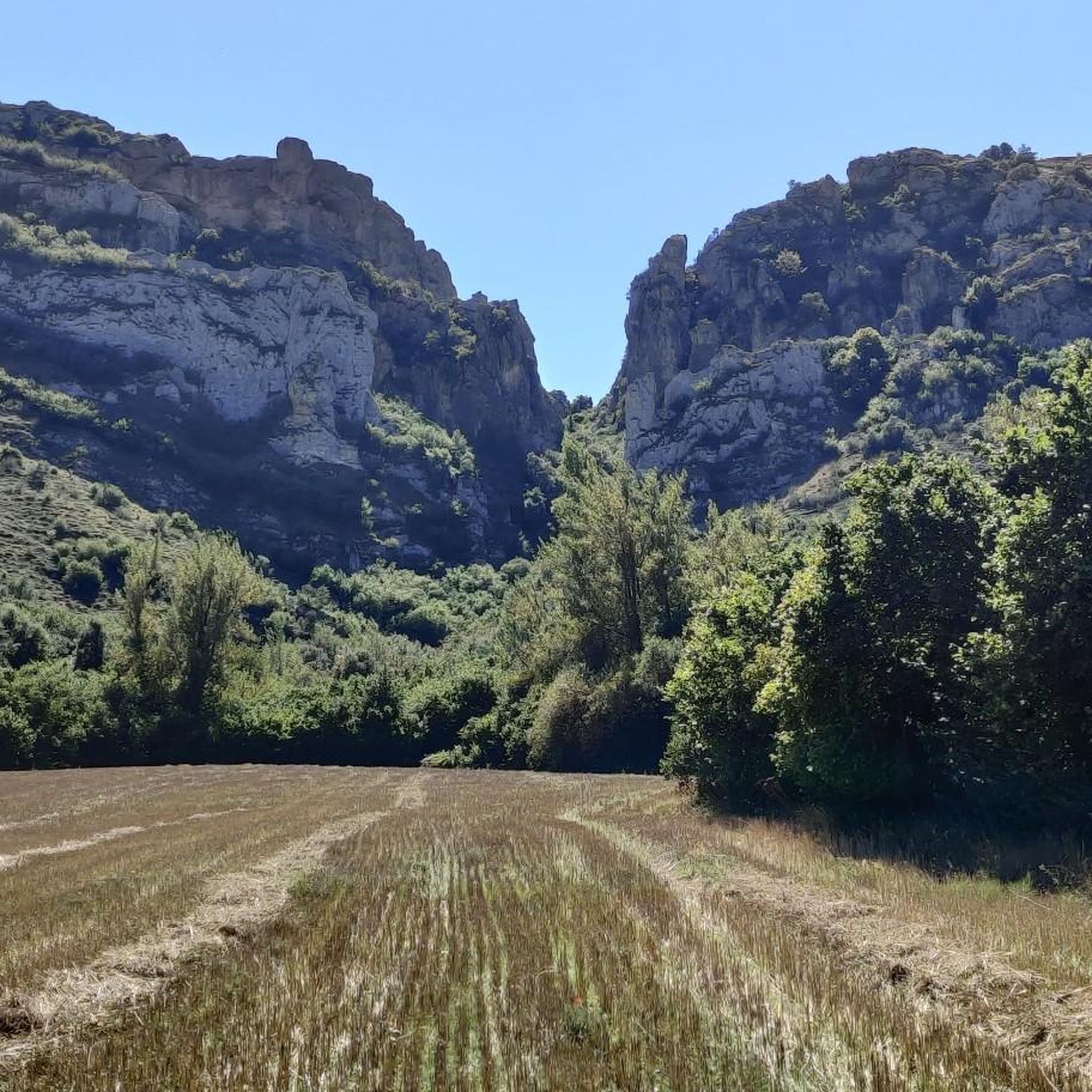
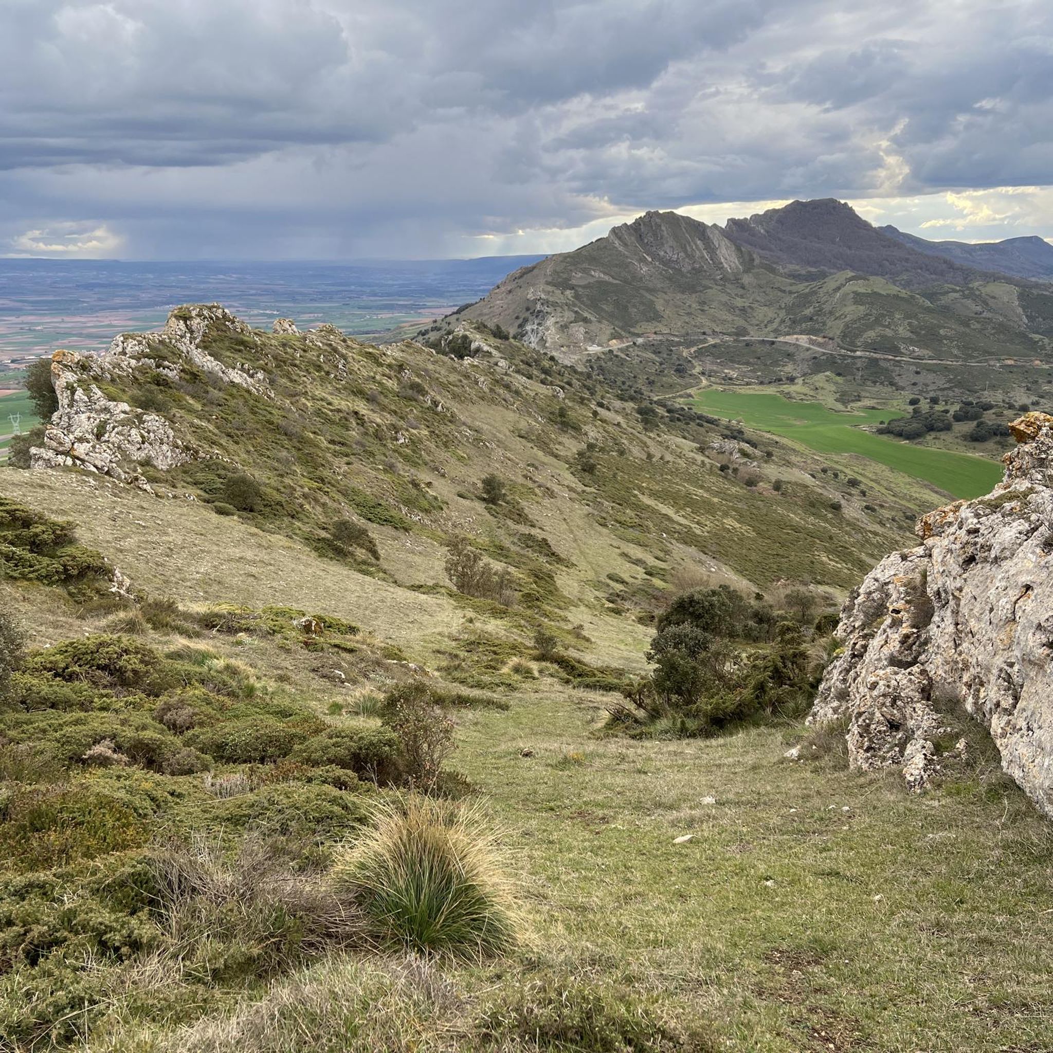
Tips from the Community

A true boundary between zones, crossed by a road, just at an altitude of 1,000 metres.
1
0
A delightful viewpoint of the entire Bureba area.
1
0

a highly recommended area for hiking.
0
0
A good route, coming from the south.
2
0

Mountain pass that starts right in the lower town of La Aldea and is located just over three kilometers in a southerly direction!
0
0
Close to the mountain pass there is the Portillo de Busto Lookout which offers immense views of the Busto de Brueba area.
0
1
El Cueto is a mountain with a huge stone at its top that separates the two valleys on either side of the mountain range. The path winds through the middle of the stone where you have to be careful in a spectacular environment.
0
0
Beautiful views that can be seen from the top of the Poyos mountain and where the path that takes you there is also interesting. 100% trail path!
0
1
Frequently Asked Questions
How many running routes are available around Cascajares De Bureba?
There are 9 dedicated running routes available around Cascajares De Bureba, all of which are considered difficult due to significant elevation changes and varied terrain.
What is the typical difficulty level of running trails in Cascajares De Bureba?
The running trails in Cascajares De Bureba are generally considered challenging. All 9 routes listed are rated as difficult, featuring substantial climbs and descents, making them suitable for experienced runners seeking a demanding workout.
What kind of terrain can I expect on the jogging routes in this region?
You can expect varied terrain characterized by significant elevation changes, including sustained climbs and descents. The routes traverse a mix of open areas and more rugged paths, often leading through hilly landscapes and offering expansive, panoramic views.
Are there any circular running routes in Cascajares De Bureba?
Yes, several routes are designed as loops. For example, the Estrechon de Sarlota – Peña Horcada loop from Las Rastrillas and the Humión loop from Embalse de Sobrón are popular circular options, offering a complete experience of the local landscape.
What are some longer running routes for experienced runners?
For experienced runners looking for a longer challenge, the Estrechon de Sarlota – Peña Horcada loop from Las Rastrillas spans 12.6 miles (20.3 km) with over 1000 meters of elevation gain. Another substantial option is the Pico del Águila – Peña del Buey loop from Peña San Pedro, which is 10.9 miles (17.6 km) long.
Are there routes with good views or scenic points?
Absolutely. Many running routes in Cascajares De Bureba offer scenic vistas and panoramic views due to the hilly terrain. The Estrechon de Sarlota – Peña Horcada loop, for instance, is noted for its panoramic views. You can also find viewpoints like Watchtower and TalasDelSomo along various trails.
What natural landmarks or points of interest can I see while running in Cascajares De Bureba?
The region is rich in natural landmarks. You might encounter prominent peaks such as Humion, El Cueto, and Summit of Pan Perdido. Additionally, the Portillo de Busto mountain pass is a notable feature on some routes, such as the PRC-BU 95 Portillo del Busto Trail.
Are the running trails in Cascajares De Bureba suitable for dogs?
While specific regulations for dogs on these trails are not detailed, the rugged and challenging nature of the terrain means that only well-conditioned dogs accustomed to long, strenuous hikes and significant elevation changes would be suitable companions. Always ensure your dog is on a leash and you carry enough water for both of you.
Are there any family-friendly jogging routes in Cascajares De Bureba?
Given that all listed running routes in Cascajares De Bureba are rated as difficult with substantial elevation changes, they are generally not considered ideal for young children or families seeking an easy, leisurely jog. These trails are primarily geared towards experienced runners.
What is the best time of year for running in Cascajares De Bureba?
The best time for running in Cascajares De Bureba typically depends on personal preference for weather conditions. Spring and autumn offer milder temperatures, which can be more comfortable for tackling the region's challenging ascents. Summers can be hot, while winters may bring colder weather and potentially more challenging trail conditions.
Where can I find parking near the trailheads?
Specific parking information for individual trailheads is not provided in the route descriptions. However, for routes starting from villages or popular natural areas like Embalse de Sobrón, you can often find public parking facilities nearby. It's advisable to check local maps or community information for parking options before your visit.
What do other runners say about the trails in Cascajares De Bureba?
More than 40 runners have used komoot to explore Cascajares De Bureba's varied terrain. While specific ratings are not available, the community frequently praises the challenging nature of the routes and the rewarding scenic vistas, making it a popular destination for those seeking an active outdoor experience.
Most popular attractions around Cascajares De Bureba

Get inspired with the komoot mobile app


Explore more
Browse the best Running Trails & Routes in other regions.
