The best gravel rides around Traíd
5.0
(1)
11
riders
4
rides
Gravel biking around Traíd offers challenging routes through a diverse landscape. The region features river valleys, such as along the Tajo River, and elevated viewpoints like Estrecho del Horcajo and Orea Lookout Tower. Riders can expect varied terrain, including climbs to high points and paths connecting villages like Checa and Chequilla.
Best gravel bike trails around Traíd
- The most popular gravel bike trail is Estrecho del Horcajo Viewpoint – Puente de Peñalén loop from Peralejos de las Truchas, a…
Last updated: May 26, 2026
5.0
(1)
6
riders
Hard gravel ride. Very good fitness required. Mostly paved surfaces. Suitable for all skill levels.
3
riders
125km
09:07
1,710m
1,710m
Hard gravel ride. Very good fitness required. Mostly paved surfaces. Suitable for all skill levels.

Sign up for free
1
riders
Hard gravel ride. Very good fitness required. Mostly paved surfaces. Suitable for all skill levels.
1
riders
26.3km
02:06
590m
590m
Hard gravel ride. Very good fitness required. Mostly paved surfaces. Suitable for all skill levels.
2
riders
Hard gravel ride. Very good fitness required. You may need to push your bike for some segments of this route.
Our route recommendations are based on thousands of hikes, rides, and runs completed by other people on komoot.
Start today with a free account
Your next adventure awaits.
Login or Signup
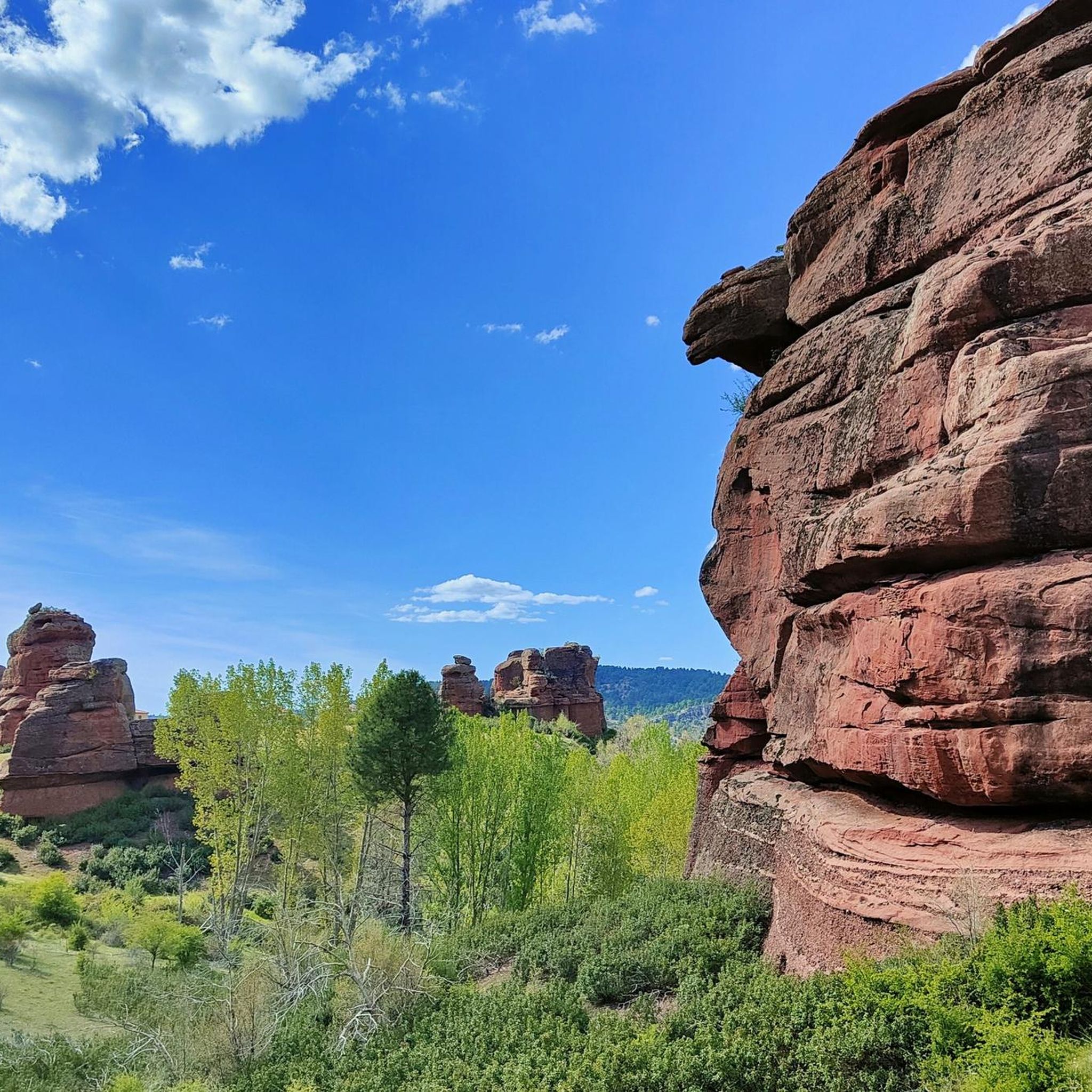
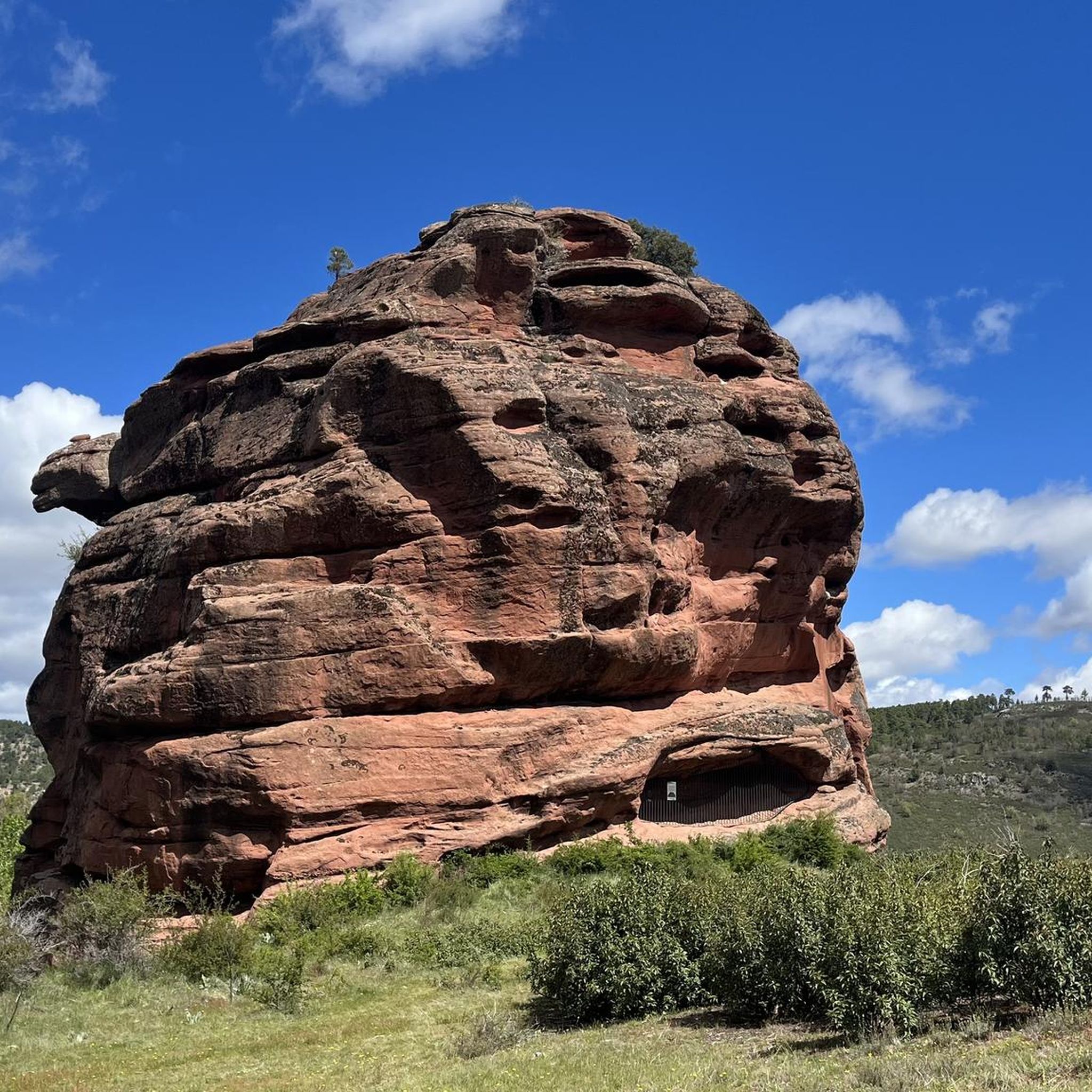
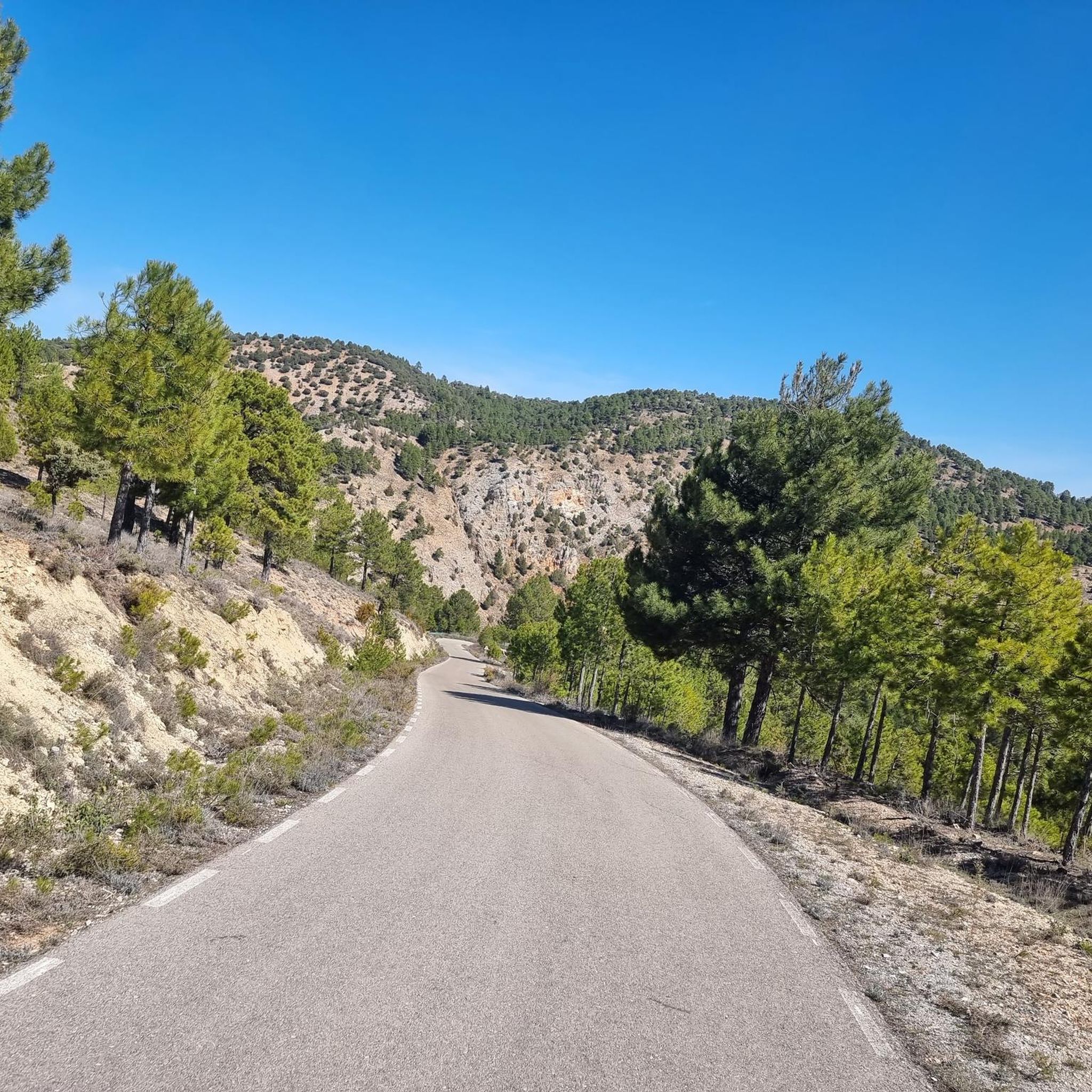
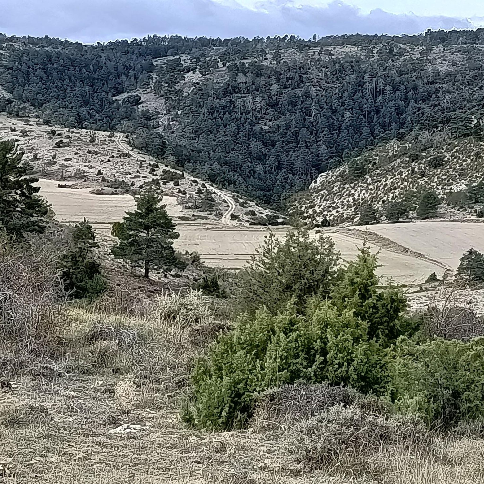
Tips from the Community

It's a shaded, cool rest area where you can relax and have a bite to eat on the stone benches. In Peralejos, there's a small grocery store where you can buy food or toiletries.
9
0
This spectacular bridge is almost hidden from view and serves as an excuse to cross the Tagus River from one bank to the other. It is very well preserved and is located next to several striking rock faces.
9
0
They are a series of rural houses called "El Salto" (The Salto) located in a privileged setting, very close to the Tajo suspension bridge, and are accessed from the road via a dirt forest track. This place also has a small restaurant where you can have lunch and spend some pleasant moments.
9
0
This viewpoint is located in a privileged place in front of a spectacular rocky cliff, which if you pass by on your bike on a hot day when the heat reflects its image on this wall... I think you'll have to stop and rest for a few seconds.
9
0
What an exclusive paradise and privileged setting this lagoon has, whose waters come almost exclusively from underground seepage. Swimming is permitted in this lagoon, but recreational diving is prohibited.
9
0
This is undoubtedly one of the Tagus's great wonders. Crossing the beautiful river on a suspension bridge like this one, where motor vehicles are prohibited, reduces the number of crossing options. Walkers and cyclists can enjoy the oscillating motion experienced by the bridge's anchorage. Absolutely recommended!
7
0
This rural resort is ideal for disconnecting from the hustle and bustle of the world on the banks of the Tagus River. This rural house complex also has a restaurant where you can enjoy a meal or a delicious and refreshing drink.
7
0
This suspension bridge is truly a symbol of the area, allowing you to cross the river from one bank to the other with truly unique views. As you ride your bike across, you can observe the movement and the noise caused by the weight of the straps. If you don't suffer from heights of height, you can enjoy the Tagus River from there.
6
0
Frequently Asked Questions
What kind of terrain can I expect on gravel bike trails around Trinidad, Colorado?
The gravel bike trails around Trinidad, Colorado, offer a diverse and challenging experience. You'll find remote, low-traffic gravel roads, expansive mesas, and sections traversing the Southern Colorado Plateau. While much of the gravel is smooth and fast-rolling, expect technical sections with loose and chunky gravel, especially around Trinidad Lake Park, and some punchy inclines. Even paved hills leading into and out of town can be steep.
Are there any family-friendly gravel biking options in Trinidad, Colorado?
The routes detailed in this guide are generally rated as difficult, featuring significant elevation gains and varied surfaces, making them more suitable for experienced riders. For families, it's recommended to explore sections of the trails or local paths that are less strenuous, perhaps around Trinidad Lake State Park, which offers some scenic, albeit potentially technical, sections.
What are some scenic highlights or natural features to look out for while gravel biking near Trinidad?
While riding around Trinidad, you'll be treated to stunning natural beauty. Keep an eye out for the towering Spanish Peaks serving as a dramatic backdrop, and the expansive mesas. The air is often scented with sage, juniper, and pinyon. Scenic Trinidad Lake is another prominent feature, with views of the blue reservoir nestled in the foothills of the Sangre de Cristo Mountains. You might also spot the historic Trinidad sign high above town on a sandstone bluff.
Are there any loop routes available for gravel biking in the Trinidad area?
Yes, several excellent loop routes are available. For instance, the Estrecho del Horcajo Viewpoint – Puente de Peñalén loop from Peralejos de las Truchas offers scenic views over 50.9 km. Another option is the Orea Lookout Tower – Checa Village loop from Alcoroches, a shorter 26.3 km ride connecting to Checa Village. For a longer challenge, consider the Trail along the Tajo River – Molina de Aragón loop from Tierzo, which spans 125 km.
What is the best time of year to go gravel biking in Trinidad, Colorado?
Trinidad, Colorado, offers a great gravel biking experience across multiple seasons. Spring and fall generally provide pleasant temperatures and vibrant scenery. Summer can be warm, but the higher elevations offer cooler air. Winter conditions can vary, with some routes potentially affected by snow or ice, especially at higher altitudes. Always check local weather conditions before heading out.
Are there any specific attractions or landmarks I can visit along the gravel bike routes?
Yes, several interesting points can be found near the routes. You could explore The towers of Chequilla, a unique natural monument, or the charming Checa village. The Peralejos de las Truchas Cliffs offer dramatic views, and you might even discover the Molino Waterfall.
What is the general difficulty level of gravel bike trails in this region?
The gravel bike trails around Trinidad, Colorado, as highlighted in this guide, are predominantly rated as difficult. They feature significant elevation gains, varied surfaces, and can include technical sections with loose gravel and steep inclines, making them best suited for experienced gravel bikers.
What do other gravel bikers enjoy most about the trails around Trinidad?
The komoot community highly rates the gravel biking experience around Trinidad, with an average score of 5.0 stars. Riders often praise the challenging climbs, the diverse and rugged terrain, and the sense of solitude offered by the remote, low-traffic gravel roads. The stunning backdrops of the Spanish Peaks and expansive mesas are also frequently mentioned.
Are there any routes that follow a river or offer waterside views?
Yes, the Trail along the Tajo River – Molina de Aragón loop from Tierzo is a challenging 125 km route that follows the Tajo River, offering scenic views along the water. Additionally, sections around Trinidad Lake provide beautiful views of the blue reservoir.
How long do the gravel bike trails typically take to complete?
The duration varies significantly depending on the route and your pace. For example, the Orea Lookout Tower – Checa Village loop from Alcoroches is about 26.3 km and typically takes around 2 hours 27 minutes. Longer routes, like the Trail along the Tajo River – Molina de Aragón loop from Tierzo, which is 125 km, can take over 11 hours to complete.
Can I find cafes or places to refuel along the gravel bike routes?
While the routes themselves traverse remote areas, villages like Checa, which is part of the Orea Lookout Tower – Checa Village loop from Alcoroches, may offer opportunities for refreshments. It's always advisable to carry sufficient water and snacks, especially on longer or more remote routes, as services can be sparse.
Are the gravel bike trails around Trinidad suitable for dogs?
Many outdoor areas in Colorado are dog-friendly, but specific rules can vary, especially within state parks or protected areas. If you plan to bring your dog, ensure they are well-behaved, on a leash where required, and that you pack out all waste. Always check the specific regulations for any trails you plan to ride, particularly around Trinidad Lake State Park.
Most popular attractions around Traíd

Get inspired with the komoot mobile app


Explore more
Browse the best Gravel rides in other regions.
