The best running trails around Martiherrero
4.6
(7)
1,059
runners
77
runs
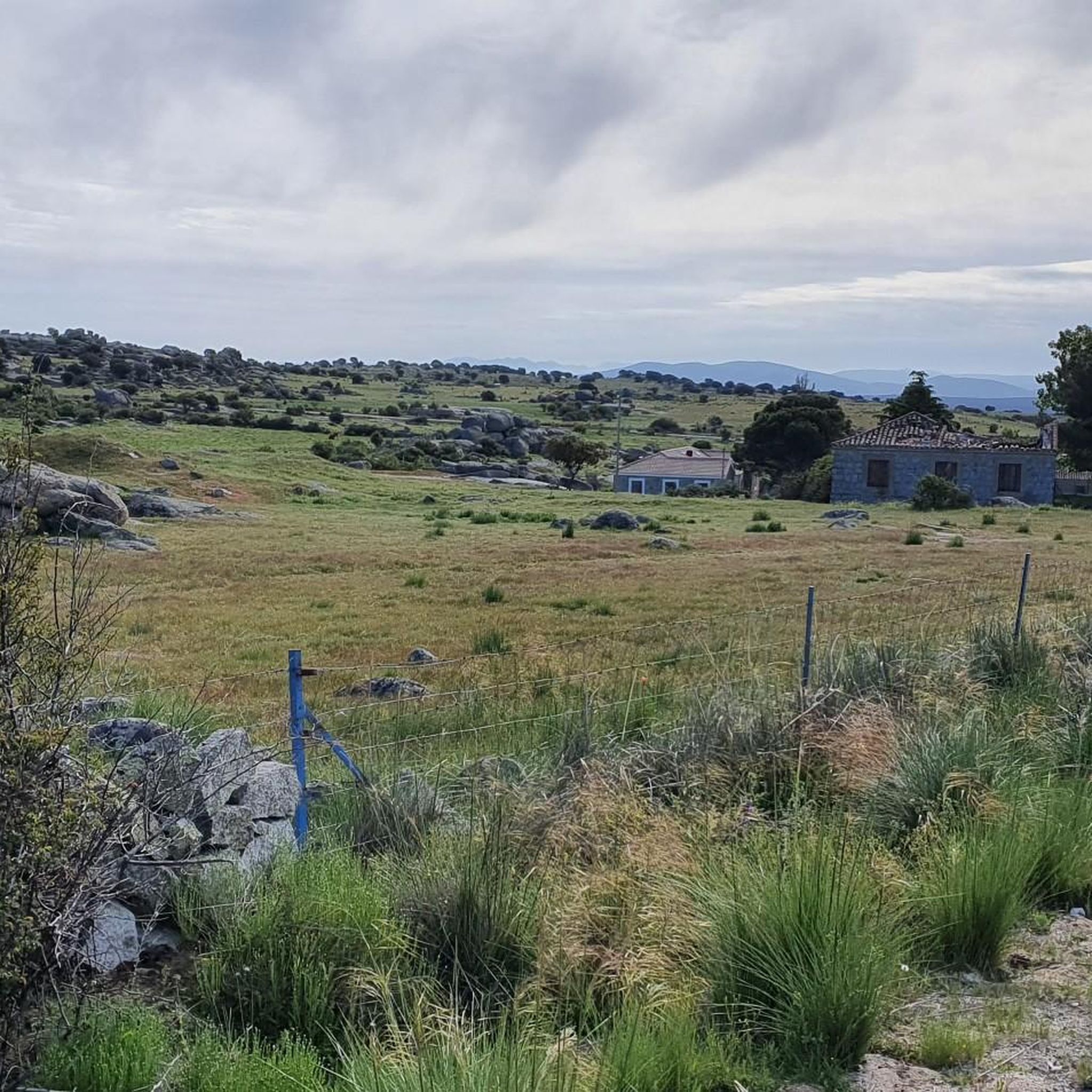
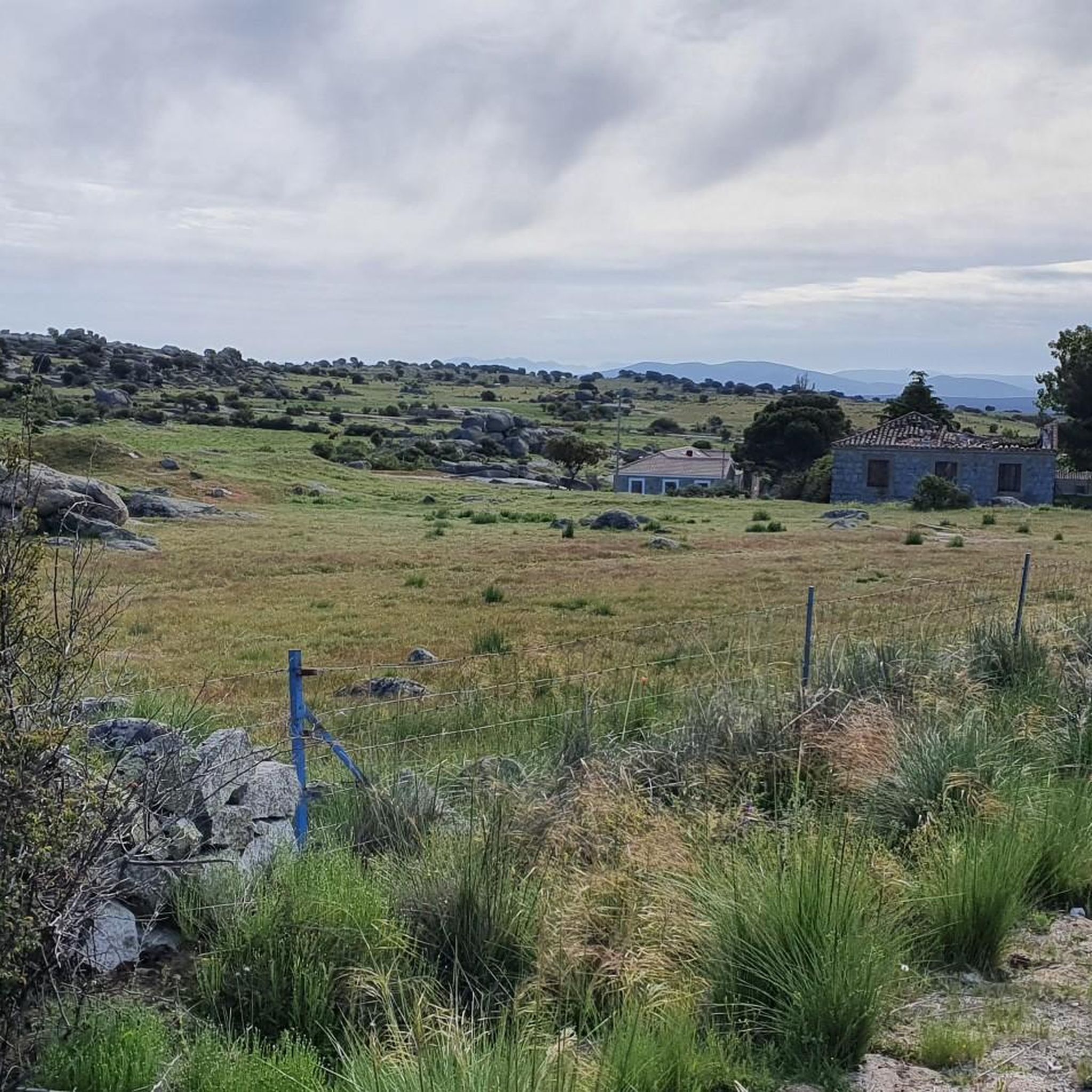
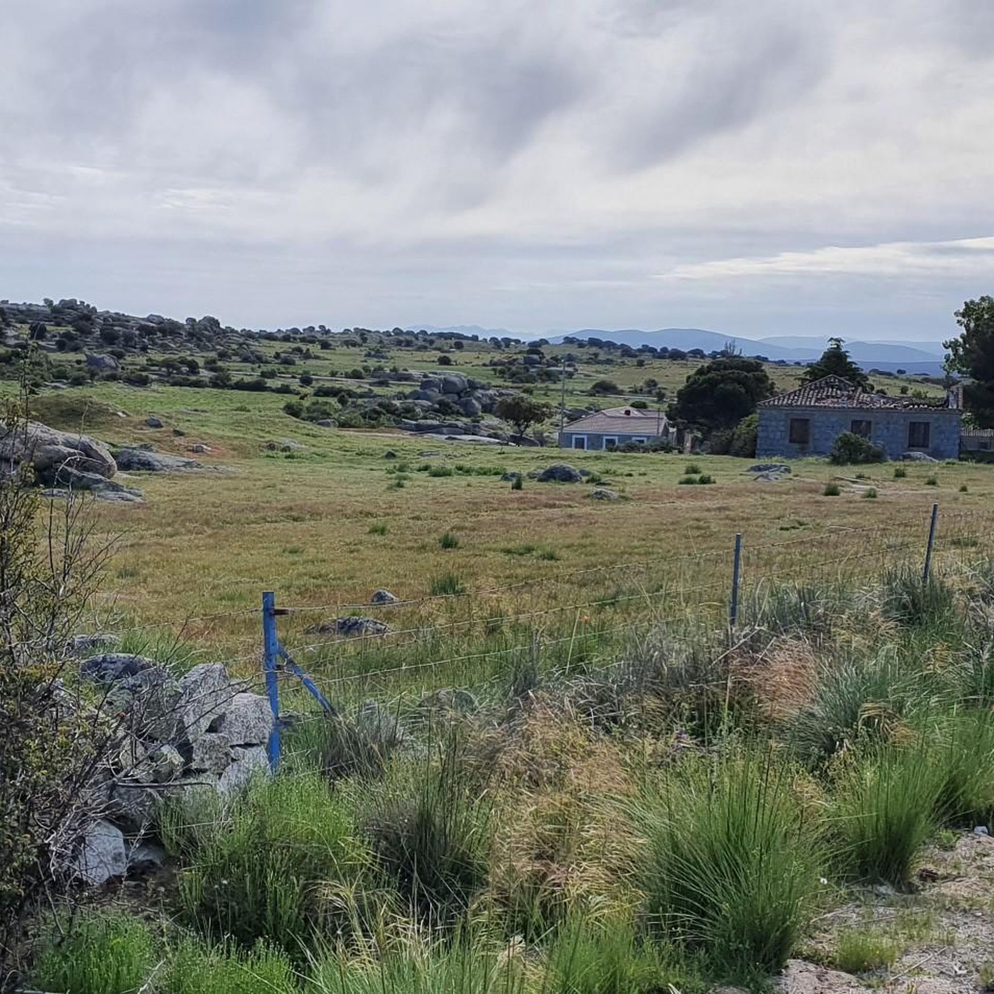
Jogging routes around Martiherrero are set within a natural environment near Ávila, characterized by an altitude exceeding 1,000 meters in the Balbles and Sierra de Ávila area. The region offers varied terrains and a network of paths suitable for outdoor sports. These natural landscapes provide a tranquil atmosphere and scenic views, making them ideal for running. The consistent high altitude also supports endurance activities.
Best jogging routes around Martiherrero
- The most popular jogging route is City of Ávila by the…
Last updated: July 6, 2026
5.0
(1)
3
runners
4.41km
00:30
60m
70m
Easy run. Great for any fitness level. Mostly paved surfaces. Suitable for all skill levels.
95
runners
17.5km
01:51
210m
200m
Hard run. Very good fitness required. Mostly paved surfaces. Suitable for all skill levels.

Sign up for free
5.0
(1)
37
runners
9.82km
01:08
20m
20m
Moderate run. Good fitness required. Mostly paved surfaces. Suitable for all skill levels.
21
runners
6.22km
00:42
20m
20m
Moderate run. Good fitness required. Mostly paved surfaces. Suitable for all skill levels.
13
runners
7.93km
00:52
10m
10m
Moderate run. Good fitness required. Mostly paved surfaces. Suitable for all skill levels.
Get access to more routes and recommendations from other explorers.
Sign up for free
Already have an account?
Our route recommendations are based on thousands of hikes, rides, and runs completed by other people on komoot.
Start today with a free account
Your next adventure awaits.
Login or Signup

Tips from the Community

The visit to the medieval city wall from the 11th-14th century is highly recommended with its 88 towers and 9 city gates - the entrance fee is justified, a large part of the city wall is accessible. Unfortunately, there were too few audio guides - we didn't have any. You have grandiose views of the Congress Hall, the Carmelite Convent of San José (place of activity of St. Teresa in the 16th century), the Cathedral, the Romanesque Church of San Vicente and into the nearby mountains.
0
0

A natural spot par excellence in Ávila. It's always a pleasure to walk, run, or bike. You never regret going back.
0
0

The Monument to Saint Teresa of Jesus next to the Puerta del Alcázar in Ávila is one of the city's most iconic sculptures. It is located in the Plaza del Mercado Grande, right next to the Puerta del Alcázar, one of the most famous entrances to the walls of Ávila. The monument was created by sculptor Juan Luis Vassallo. The main figure shows Saint Teresa holding a quill pen, alluding to her work as a writer.
2
0
The Walls of Ávila are one of the city's most emblematic monuments and a prominent example of medieval military architecture. Built between the 11th and 14th centuries, this impressive fortification surrounds Ávila's old town and stretches for 2,515 meters. The wall has 87 towers and 9 gates, the Puerta del Alcázar and Puerta de San Vicente being the most famous.
1
0
The Old Synagogue of Don Samuel, also known as the Chapel of the Virgin of the Snows, is an important vestige of the Jewish community in Ávila. This synagogue was one of the most important religious and cultural centers of the Jewish quarter of Ávila during the Middle Ages. Ávila is known for having one of the most important Jewish quarters in Spain, and the Don Samuel Synagogue is a testament to the rich history and legacy of the Sephardic community in the city.
1
0
The Chapel of Mosén Rubí, located in Ávila, is a beautiful example of architecture that combines late Gothic and Renaissance styles. It was built in the 16th century and is dedicated to Mosén Rubí de Bracamonte, lord of Fuentesol.
3
0
El Soto Natural Park in Ávila is a beautiful green space ideal for nature lovers. With over 40 hectares, it is the city's largest green space. This park is located southwest of the city center and borders the municipality of El Fresno.
1
0
The Walls of Ávila are an impressive medieval fortification that surrounds the old town of Ávila, in Castile and León. These walls, built in the 11th century, are one of the best-preserved walled enclosures in Spain and were declared a UNESCO World Heritage Site in 1985.
11
0
Frequently Asked Questions
What kind of terrain can I expect on running routes around Martiherrero?
The running routes around Martiherrero are characterized by varied terrains, reflecting the natural landscapes of the Balbles and Sierra de Ávila area. You'll find paths suitable for different fitness levels, from riverside trails to more challenging routes with some elevation. The region's high altitude, exceeding 1,000 meters, contributes to a unique running experience.
Are there running routes suitable for beginners in Martiherrero?
Yes, Martiherrero offers several running routes ideal for beginners. Out of the 93 available routes, 16 are classified as easy. These often include flatter sections, such as those along riverbanks, providing a gentle introduction to running in the area. An example is the City of Ávila by the Río Adaja — circular, which is 2.7 miles (4.4 km) long.
What options are available for experienced runners seeking a challenge?
For experienced runners looking for a challenge, Martiherrero and its surroundings offer several demanding routes. There are 9 difficult routes among the 93 available. These routes often feature greater distances and more significant elevation changes. A notable option is the Walls of Ávila loop from Ávila, an 11.0 miles (17.8 km) path that circles the historic city walls.
What is the typical length of running routes in the Martiherrero area?
Running routes around Martiherrero vary significantly in length. You can find shorter, easier runs like the City of Ávila by the Río Adaja — circular at 2.7 miles (4.4 km), up to longer, more challenging trails such as the Walls of Ávila loop from Ávila which is 11.0 miles (17.8 km). The average length across all routes provides a good range for different preferences and fitness levels.
Are there any circular running routes around Martiherrero?
Yes, many of the running routes in the Martiherrero area are circular, allowing you to start and finish at the same point. This is convenient for planning your run. Examples include the City of Ávila by the Río Adaja — circular and the Adaja River Trail loop from Ávila.
What natural features or landmarks can I see while running near Martiherrero?
While running near Martiherrero, you'll encounter the tranquil natural landscapes of the Sierra de Ávila. Many routes also pass by significant historical landmarks in nearby Ávila. You can see the impressive Ávila City Walls, the Ávila City Walls (North Section), and the Basilica of San Vicente of Ávila. Some trails, like the Adaja River Trail loop from Ávila, follow riverine landscapes.
What do other runners enjoy the most about jogging in Martiherrero?
The running experience around Martiherrero is highly rated by the komoot community, with an average score of 4.6 stars from over 7 reviews. Runners often praise the tranquil atmosphere, scenic views, and the variety of terrains available. The consistent high altitude is also appreciated by those looking for endurance activities.
Are there any running routes that pass through natural parks or protected areas?
Yes, some routes in the vicinity of Martiherrero offer access to natural areas. For instance, the El Soto Natural Park loop from Ávila provides a moderate 3.9 miles (6.2 km) running experience through a natural park setting, offering a peaceful environment for your run.
Are the running routes around Martiherrero suitable for families?
Many of the easier and moderate routes around Martiherrero can be suitable for families, depending on the children's age and fitness levels. The region's peaceful natural environment and varied terrains mean you can find less strenuous paths, particularly those along the river, that offer an enjoyable outdoor experience for everyone. Always check the route's difficulty and length before heading out.
Is it possible to run with dogs on the trails near Martiherrero?
Generally, many natural trails in the Martiherrero area are suitable for running with dogs, provided they are kept under control and local regulations are followed. The tranquil rural environment makes it a pleasant place for you and your canine companion to enjoy the outdoors. Always ensure your dog is on a leash where required and respect any signage regarding pet access.
What is the best time of year for running in Martiherrero?
Martiherrero, situated at over 1,000 meters altitude, offers a good environment for running throughout much of the year. Spring and autumn provide pleasant temperatures and vibrant scenery. Summers can be warm, so early morning or late evening runs are advisable. Winters can be cooler, but the clear air and tranquil atmosphere can still make for an invigorating run, especially on sunny days.
Are there running routes with good viewpoints around Martiherrero?
Given Martiherrero's location in the Sierra de Ávila, many running routes offer scenic views of the surrounding natural landscapes. While specific viewpoints are not detailed for every route, the general elevation and varied terrain ensure opportunities for picturesque vistas, especially on routes that ascend slightly or traverse open areas.
Most popular attractions around Martiherrero

Get inspired with the komoot mobile app


Explore more
Browse the best Running Trails & Routes in other regions.
