The best walks and hikes around La Cabeza De Béjar
4.4
(5)
37
hikers
14
hikes
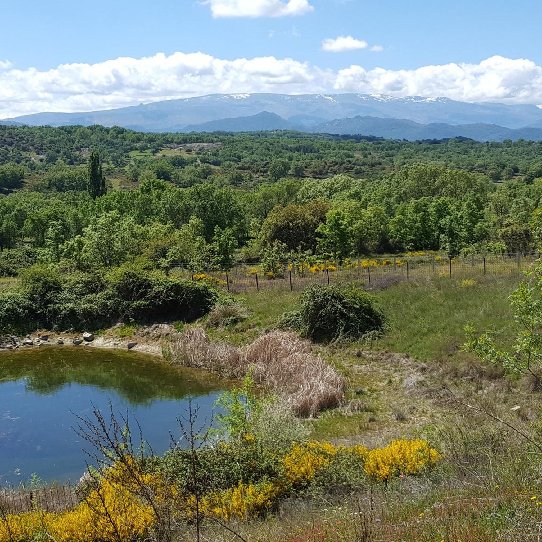
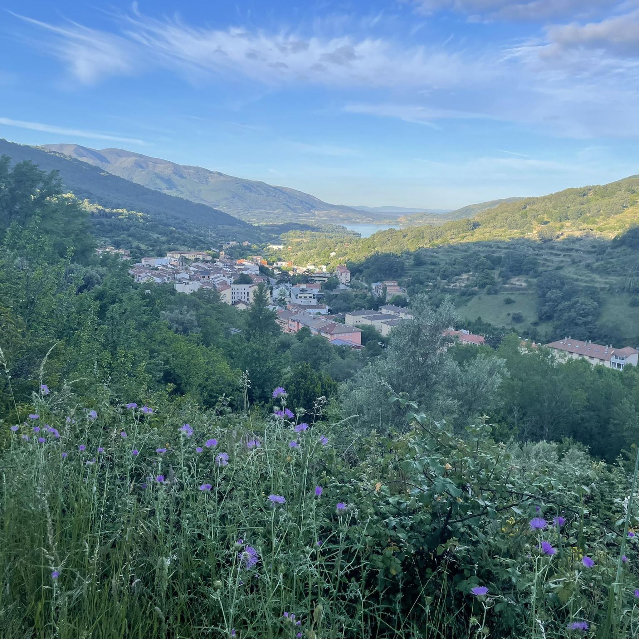
Hiking trails around La Cabeza De Béjar are situated within the mountainous Sierra de Béjar, a region characterized by high peaks, deep valleys, and diverse ecosystems. The landscape features extensive forests of oak and chestnut, alongside alpine meadows. Rivers and natural springs contribute to the area's lush vegetation, offering varied terrain for outdoor exploration.
Best hiking trails around La Cabeza De Béjar
- The most popular hiking route is Hiking loop from Valdelacasa, a 4.7 miles (7.6 km) trail that…
Last updated: June 22, 2026
3
hikers
7.56km
02:07
150m
150m
Moderate hike. Good fitness required. Easily-accessible paths. Suitable for all skill levels.
2
hikers
9.91km
02:52
260m
250m
Moderate hike. Good fitness required. Easily-accessible paths. Suitable for all skill levels.

Sign up for free
3
hikers
18.3km
05:10
400m
400m
Hard hike. Very good fitness required. Easily-accessible paths. Suitable for all skill levels.
5.0
(1)
3
hikers
15.4km
04:10
210m
220m
Moderate hike. Good fitness required. Easily-accessible paths. Suitable for all skill levels.
3
hikers
6.14km
01:37
60m
60m
Easy hike. Great for any fitness level. Easily-accessible paths. Suitable for all skill levels.
Get access to more routes and recommendations from other explorers.
Sign up for free
Already have an account?
Our route recommendations are based on thousands of hikes, rides, and runs completed by other people on komoot.
Start today with a free account
Your next adventure awaits.
Login or Signup


Tips from the Community

The Tondo path is part of the western Cañada Real Soriana. This section runs through a beautiful oak grove that offers refreshment and some shade in the summer.
0
0

This is the tourist and gastronomic area of Guijuelo, considered the birthplace of acorn-fed Iberian ham with Protected Designation of Origin (PDO Guijuelo). More than 150 ham and cured meat producers are concentrated here. The cold, dry climate of the Sierra de Béjar favors a slow, natural curing process, giving the ham a sweeter, more unctuous flavor.
3
0

Dozens of century-old chestnut trees can be admired in this interesting chestnut grove, as well as beautiful views and an old wash house nearby.
0
0
It is recommended to pray a Hail Mary to the Virgin of the Holy Fountain
0
0
Romanesque semicircular head, Gothic doorway, Renaissance arches, Mudejar structure, Mudejar roof with enigmatic Celtic designs, rustic gallery, beautiful baptismal font, perhaps Visigothic, perhaps not... It doesn't matter, it's very interesting!
0
0
Beautiful rural cruise in Gilbuena
0
0

Beautiful oak forest, ideal for a summer day in Castile
0
0

Basically it is the tower that remains of the church of Neila de San Miguel.
0
0
Frequently Asked Questions
How many hiking trails are available in La Cabeza De Béjar?
There are over 10 hiking trails around La Cabeza De Béjar, offering a range of experiences from moderate loops to more challenging long-distance routes through mountainous terrain and extensive forests.
What is the best time of year to go hiking in La Cabeza De Béjar?
La Cabeza De Béjar is a rewarding hiking destination throughout the year. Spring and autumn are particularly popular for their mild weather and vibrant natural colors, especially when the oak and chestnut forests turn reddish and golden. Summer offers opportunities to cool off in natural river pools, while winter provides a different experience with potential for snow in higher elevations and access to nearby winter sports.
Are there any easy hiking trails suitable for beginners in La Cabeza De Béjar?
Yes, the area offers trails suitable for various ability levels. While many routes are moderate, there is at least one easy trail available. For a gentle introduction to the local landscape, consider exploring some of the shorter, less strenuous paths that wind through the valleys and lower forests.
What kind of natural attractions can I expect to see along the hiking trails?
Hiking in La Cabeza De Béjar offers diverse natural attractions. You'll encounter majestic mountainous terrain with high peaks like Canchal de la Ceja, extensive forests of oak and chestnut, and lush river valleys. The region is part of the Sierras de Béjar y Francia Biosphere Reserve, known for its ecological importance and stunning natural beauty. You can also find numerous 'miradores' (viewpoints) offering panoramic vistas of the surrounding landscape.
Are there any circular hiking routes in La Cabeza De Béjar?
Yes, many of the trails in La Cabeza De Béjar are designed as circular routes, allowing you to start and end in the same location. An example is the Hiking loop from Valdelacasa, which offers a moderate experience through the local landscape.
What do other hikers enjoy most about hiking in La Cabeza De Béjar?
The area is highly rated by the komoot community, with an average score of 4.3 stars. Reviewers often praise the diverse ecosystems, the blend of mountains, forests, and rivers, and the variety of trails catering to different difficulty levels. The natural beauty and the sense of adventure are frequently highlighted.
Are there any historical routes or landmarks to explore while hiking?
Yes, sections of the historic Vía de la Plata (Silver Route) pass through the area, offering a blend of historical and natural exploration. This ancient route follows old railway lines and medieval paths, featuring tunnels and traditional architecture. Additionally, the Histórico Artístico el Bosque de Béjar Garden is a significant attraction showcasing a delicate symbiosis between natural and cultural landscapes.
Can I find trails that lead through dense forests or woodlands?
Absolutely. The region is characterized by extensive forests, particularly oak and chestnut woodlands. For an immersive forest experience, consider the Oak forest of the Sierra de Tonda loop from Mataherrero, which leads directly through notable oak forests.
Are there opportunities to see water features like rivers or natural pools?
Yes, the area is rich in water features. The Río Tormes flows through the region, and you can find attractions like the Piscina Natural Río Tormes Puente del Congosto, which provides opportunities for cooling off. Abundant springs also contribute to lush vegetation and various aquatic elements throughout the region.
What are some notable viewpoints or scenic spots along the trails?
La Cabeza De Béjar boasts numerous 'miradores' (viewpoints) offering spectacular panoramic views. Notable examples include the Mirador de la Peña de la Cruz and Mirador de Olivillas. Peña de Francia, almost 1,800 meters above sea level, also provides extraordinary vistas of the surrounding mountains and valleys.
Are there any specific attractions or points of interest near the hiking routes?
While hiking, you might find points of interest such as the Puerto de Vallejera, a mountain pass offering scenic views. The region also includes the Guijuelo Jamón District, known for its culinary heritage, and various facilities like picnic areas.
Are there any challenging hikes for experienced trekkers?
Yes, the mountainous terrain of the Sierra de Béjar offers challenging routes for experienced hikers. Peaks like Canchal de la Ceja (2,425 meters) and El Calvitero provide demanding ascents and breathtaking panoramic views. An example of a more difficult route is the Oak forest of the Sierra de Tonda loop from Valdelacasa, an 11.4-mile trail through dense oak woodlands.
Most popular attractions around La Cabeza De Béjar

Get inspired with the komoot mobile app


Explore more
Browse the best Hikes in other regions.
