The best gravel rides around Palazuelos De La Sierra
35
riders
2
rides
Gravel biking around Palazuelos De La Sierra offers routes through the varied landscapes of the Sierra de la Demanda Natural Space. The region transitions from the Juarros plateau to the more mountainous Sierra del Mencilla, providing diverse terrain. Riders can expect a mix of cereal fields, mountain meadows, and dense oak and Scots pine forests. These natural features create a network of forest tracks and secondary roads suitable for gravel cycling.
Best gravel bike trails around Palazuelos De La Sierra
…Last updated: July 6, 2026
10
riders
Hard gravel ride. Very good fitness required. You may need to push your bike for some segments of this route.
11
riders
98.3km
07:44
1,220m
1,220m
Hard gravel ride. Very good fitness required. You may need to push your bike for some segments of this route.

Sign up for free
7
riders
Hard gravel ride. Very good fitness required. Mostly paved surfaces. Suitable for all skill levels.
6
riders
Moderate gravel ride. Good fitness required. Mostly paved surfaces. Suitable for all skill levels.
2
riders
Moderate gravel ride. Good fitness required. Mostly paved surfaces. Suitable for all skill levels.
Our route recommendations are based on thousands of hikes, rides, and runs completed by other people on komoot.
Start today with a free account
Your next adventure awaits.
Login or Signup
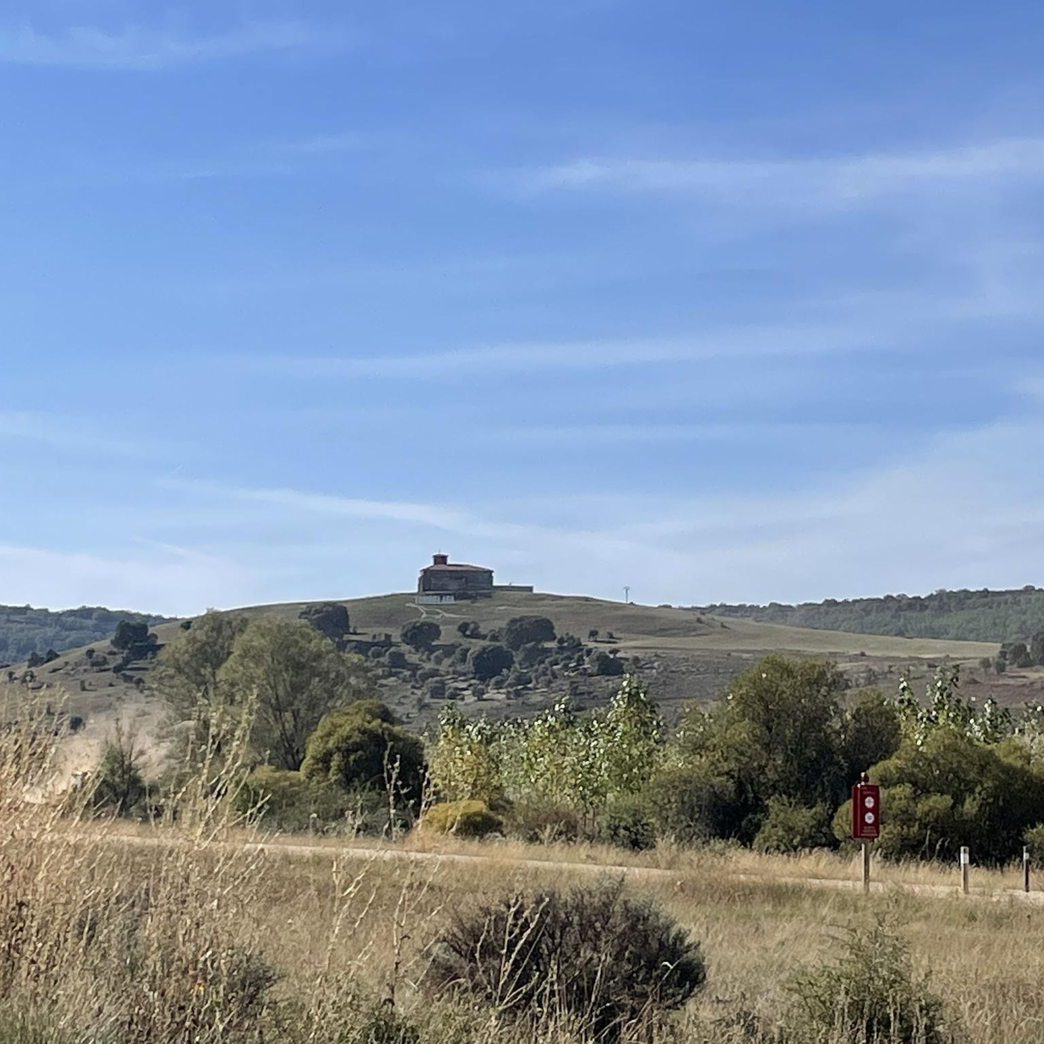

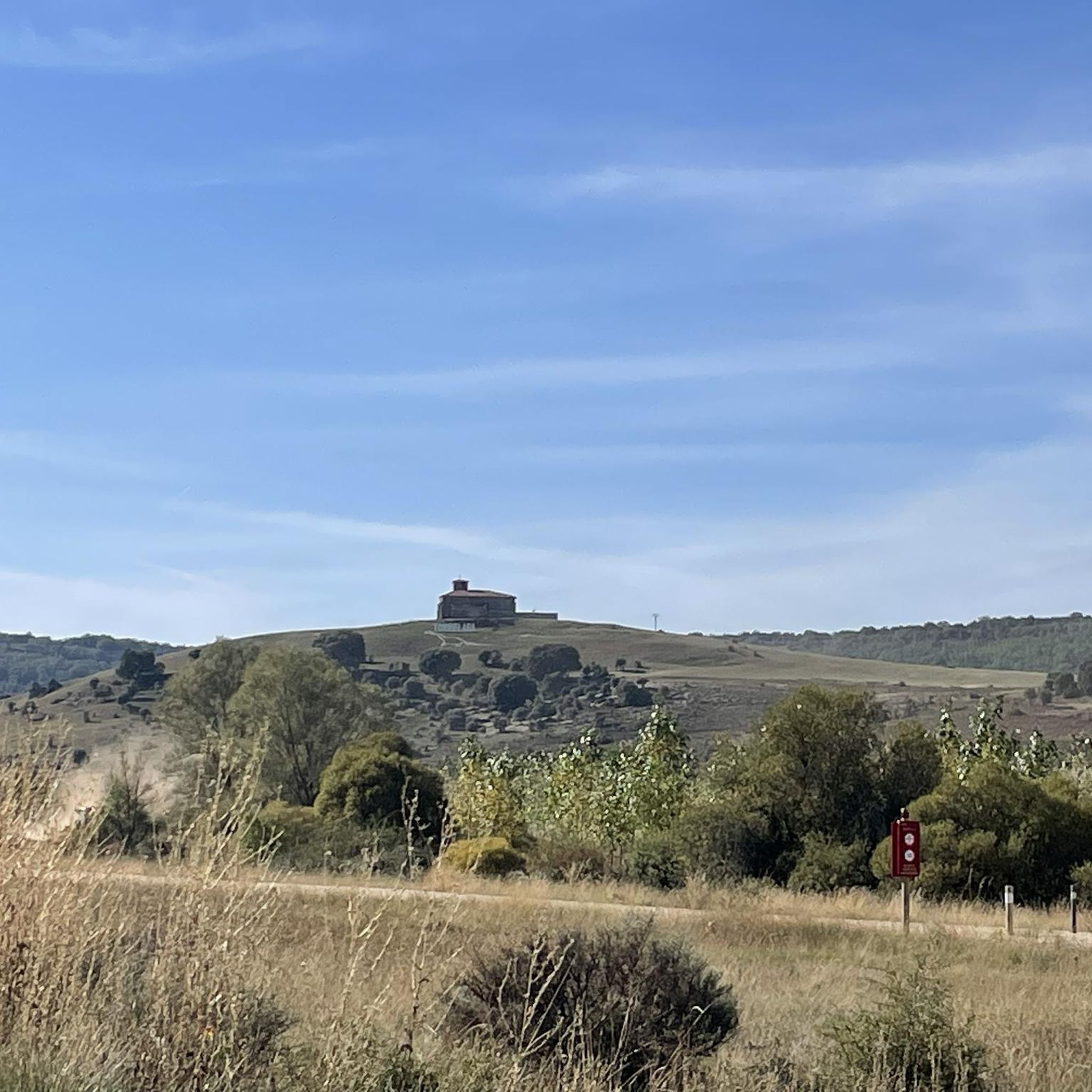
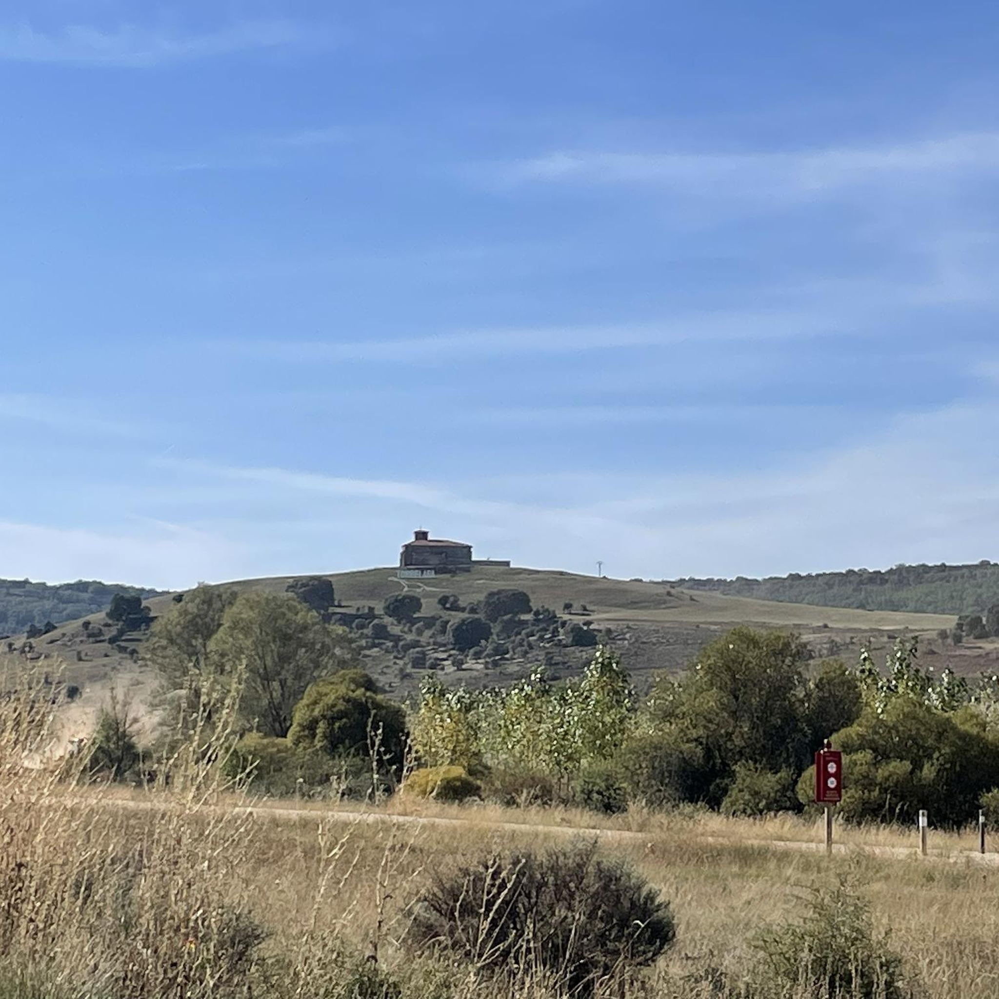
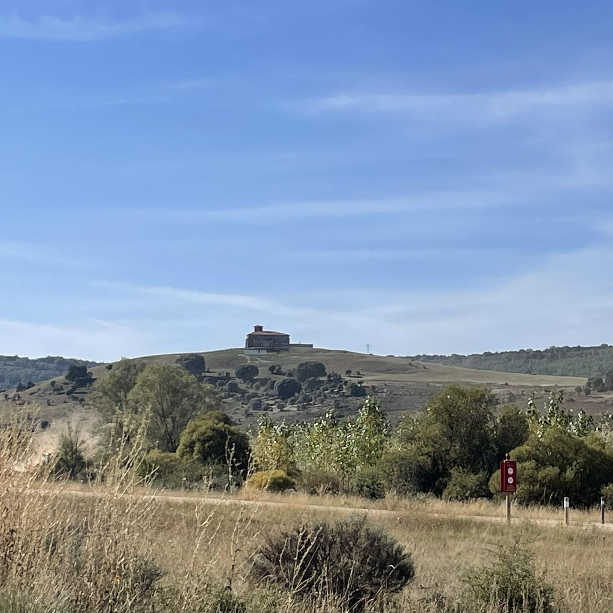
Tips from the Community

Spectacular area for hiking routes
0
1
Spectacular area for hiking routes
0
0

Quiet town with bar and natural spaces
0
0

Part of the Alfoz de Burgos region, it is located 20 kilometers from the capital of Burgos. The municipality's relief is defined by a plateau through which the Hontoria River and several streams flow. Also notable are the limestone mines that give the town its name. The altitude ranges from 1,040 meters (Gandral Hill) to 900 meters to the north, on the banks of a stream. The town itself rises to 1,003 meters above sea level.
0
0
a highly recommended area for hiking.
0
0

Nice place just 25 km from Burgos
0
0
Ideal places for mountain biking and hiking routes
1
0
Frequently Asked Questions
What kind of terrain can I expect on gravel bike trails around Palazuelos De La Sierra?
The region offers a diverse landscape, transitioning from the Juarros plateau to the more mountainous Sierra del Mencilla. You'll encounter a mix of cereal fields, mountain meadows, and dense oak and Scots pine forests. The trails primarily consist of extensive forest tracks and secondary roads, largely avoiding asphalt, with varied elevation changes.
What are the typical difficulty levels for gravel biking in this area?
Gravel bike trails around Palazuelos De La Sierra range from moderate to difficult. For instance, the Arlanzón Reservoir – Sierra de la Demanda Greenway loop from Pineda de la Sierra is considered moderate, while routes like the Romanesque Bridge of Los Ausines – Dinosaur Footprint Replicas loop from Jurisdicción de Lara are rated difficult, often involving significant elevation changes.
Are there any circular gravel bike routes available?
Yes, all the gravel bike routes featured in this guide are circular loops. This allows you to start and finish your ride at the same point, making logistics easier. An example is the Romanesque Bridge of Los Ausines – Hontoria de la Cantera loop from Revilla del Campo.
What natural features or landmarks can I see along the gravel bike trails?
The trails often pass through the beautiful Sierra de la Demanda Natural Space, known for its extensive forests and diverse wildlife. You can enjoy scenic views over the Arlanzón Reservoir and ride along sections of the Sierra de la Demanda Greenway, which features picturesque oak and beech forests. Some routes also include historical elements like the Romanesque Bridge of Los Ausines.
What is the best time of year for gravel biking in Palazuelos De La Sierra?
The region's extensive forests, including beech, oak, and Scots pine, provide picturesque and shaded routes, making it particularly enjoyable during warmer months. Spring and autumn offer pleasant temperatures and vibrant foliage, while summer provides shade from the sun. Winter conditions might include snow or ice at higher elevations.
Are there any long-distance gravel routes for experienced riders?
Yes, for experienced riders seeking a longer challenge, routes like the Hontoria de la Cantera – Hortigüela Table Mountain loop from Modúbar de San Cibrián cover nearly 100 km (62 miles) with over 1200 meters of elevation gain, typically taking over 9 hours to complete. Another option is the Romanesque Bridge of Los Ausines – Dinosaur Footprint Replicas loop from Jurisdicción de Lara, which is over 60 km long.
What kind of wildlife might I encounter on the trails?
The forest masses of the Sierra de la Demanda are home to abundant wildlife. Cyclists might spot roe deer, red deer, wildcats, badgers, otters, and various raptors. The tranquility of the natural environment offers a chance to observe local fauna.
Are there any family-friendly gravel biking options?
While many routes involve significant elevation, some sections of the Sierra de la Demanda Greenway, particularly those near the Arlanzón Reservoir, might offer flatter, more accessible terrain suitable for families. Always check the route details for specific difficulty and elevation profiles to ensure it matches your family's capabilities.
Where can I find parking for gravel biking in the area?
While specific parking locations are not detailed for every trailhead, Palazuelos de la Sierra and nearby villages like Pineda de la Sierra or Revilla del Campo often have public parking areas suitable for accessing the trail network. It's advisable to check local village information for designated parking spots.
What makes gravel biking in Palazuelos De La Sierra unique?
The unique appeal lies in its strategic location within the Sierra de la Demanda Natural Space, offering a blend of transitional terrain from the Juarros plateau to the Sierra del Mencilla. This creates a diverse riding experience through extensive forests, mountain meadows, and challenging climbs, all on a network of forest tracks and secondary roads that immerse you in nature.
How long do the gravel bike trails typically take to complete?
The duration varies significantly based on the route's length and difficulty. Shorter, moderate routes like the Arlanzón Reservoir – Sierra de la Demanda Greenway loop from Pineda de la Sierra can be completed in about 2 hours 18 minutes. Longer, more difficult routes, such as the Romanesque Bridge of Los Ausines – Dinosaur Footprint Replicas loop from Modúbar de San Cibrián, may take around 5 hours or more.
Most popular routes around Palazuelos De La Sierra
Most popular attractions around Palazuelos De La Sierra

Get inspired with the komoot mobile app


Explore more
Browse the best Gravel rides in other regions.
