The best cycling routes in Nacionalni Park Tara
4.9
(17)
54
riders
9
rides
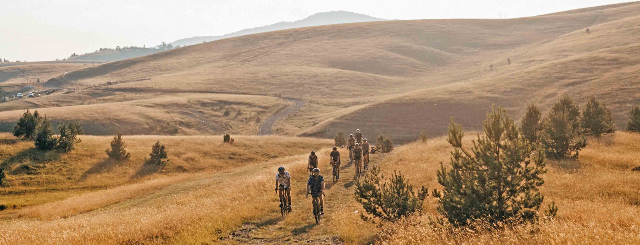
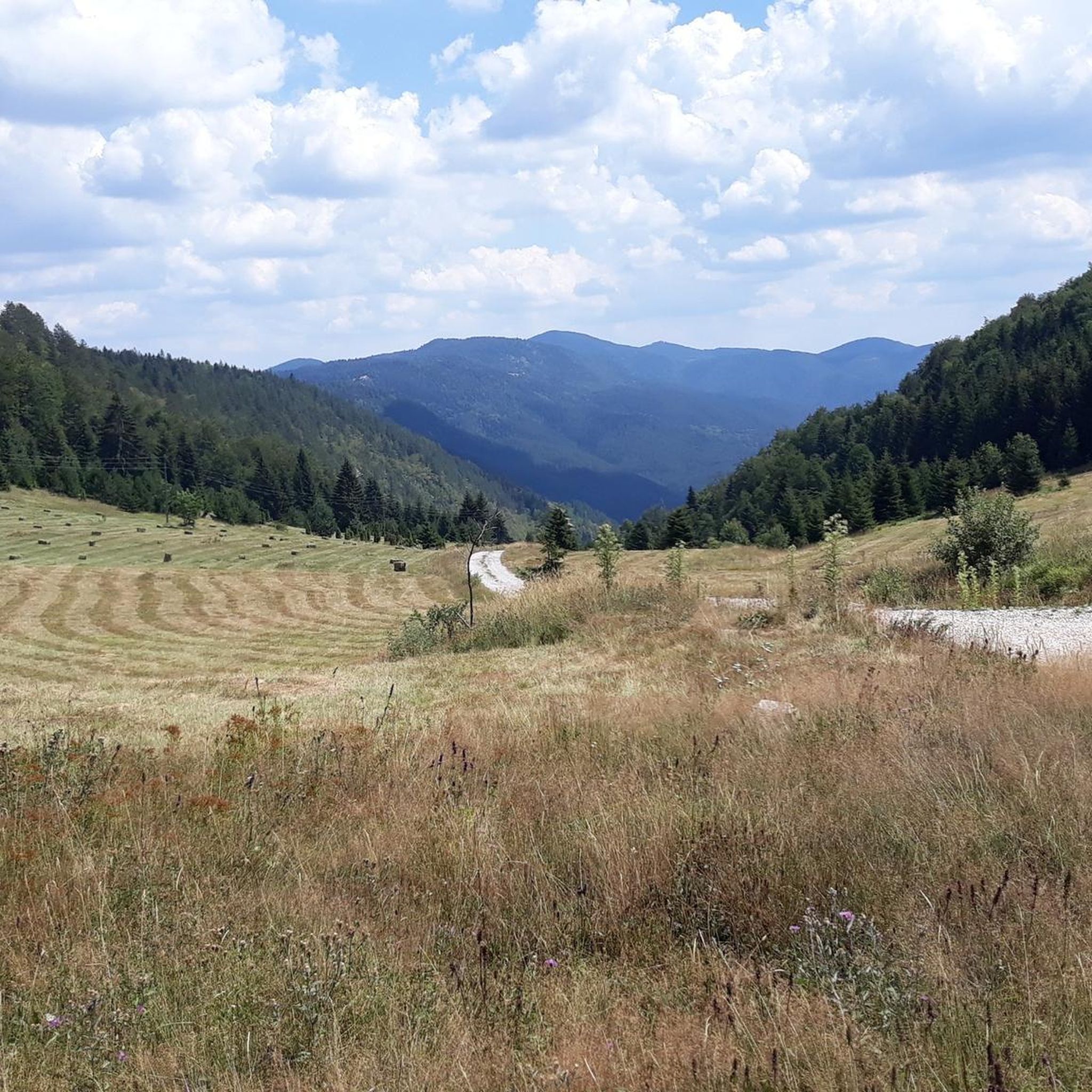
Touring cycling in Nacionalni Park Tara features diverse landscapes, including dense mixed forests, majestic river canyons, and serene artificial lakes. The park's mountainous terrain, with an average altitude of 1,000 to 1,200 meters, offers varied routes for cyclists. The Drina River canyon provides panoramic views, while lakes like Zaovine and Perućac add to the scenic beauty. This region in western Serbia is characterized by its rich natural features, making it a notable destination for outdoor enthusiasts.
Best touring cycling routes in Nacionalni Park Tara
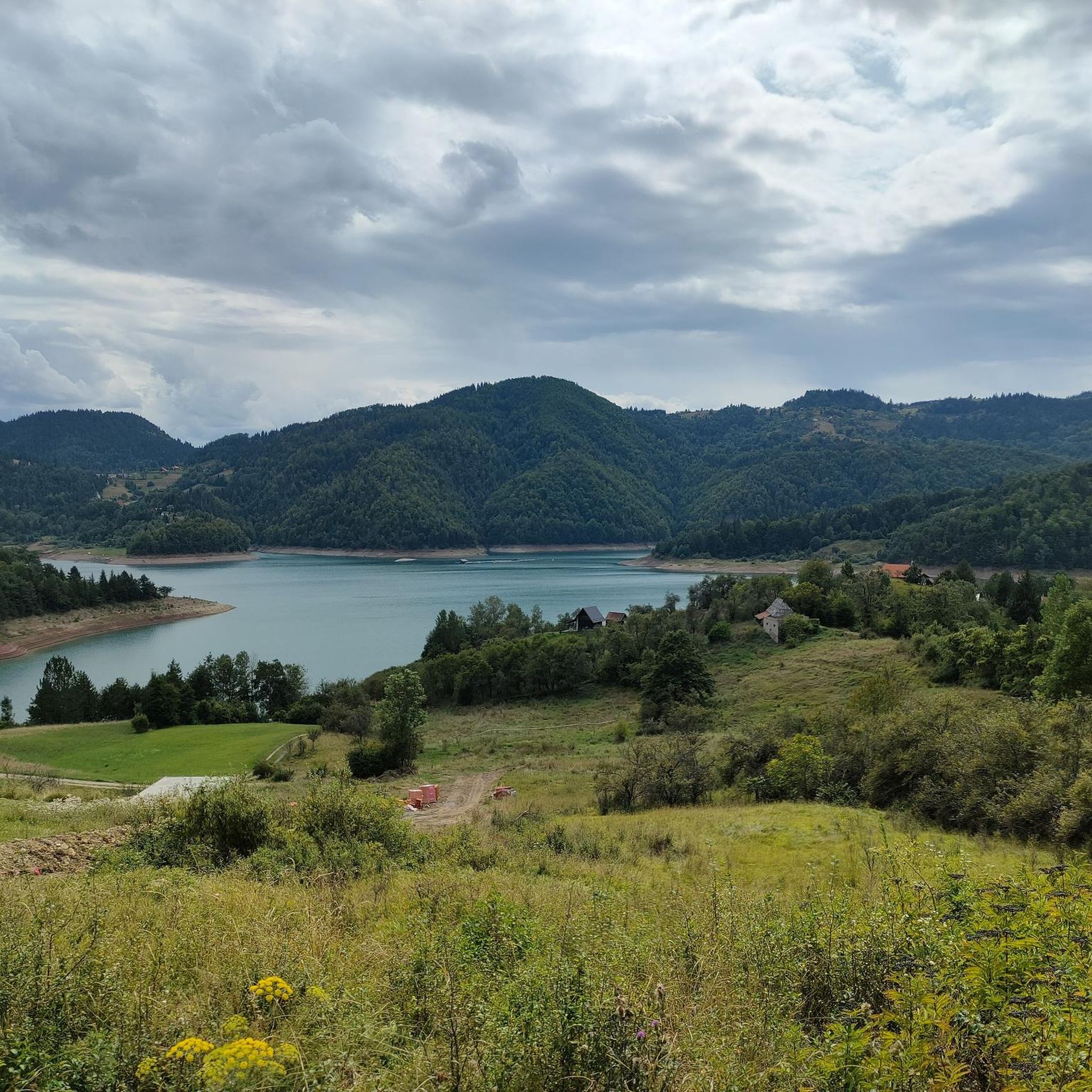
- The most popular touring cycling route is View of Zaovine Lake loop from Tara National Park, a 21.2 miles (34.1 km) difficult trail that takes 2 hours 36 minutes to complete. This route offers views of the tranquil Zaovine Lake and surrounding forests.
- Another top favourite among local touring cyclists is Osluša Viewpoint loop from Mala Reka, a difficult 25.3 miles (40.8 km) path. This route leads to the Osluša Viewpoint, providing expansive vistas of the park's landscape.
- Local touring cyclists also love the Hajdučka Česma Rest Area – Osluša Viewpoint loop from Tara National Park, a 21.0 miles (33.9 km) trail leading through forested areas and towards the Osluša Viewpoint, often completed in about 2 hours 39 minutes.
- Touring cycling in Nacionalni Park Tara is defined by dense forests, river canyons, and mountainous terrain. The network offers options for different ability levels, from moderate paths to more challenging routes with significant elevation gain.
- The routes in Nacionalni Park Tara are highly rated by the komoot community with an average score of 4.9 stars from more than 15 reviews. More than 50 touring cyclists have used komoot to explore Nacionalni Park Tara's varied terrain.
Last updated: July 2, 2026
5.0
(3)
18
riders
34.1km
02:36
880m
880m
Hard bike ride. Very good fitness required. Mostly paved surfaces. Suitable for all skill levels.
4.7
(3)
6
riders
40.8km
03:27
820m
820m
Hard bike ride. Very good fitness required. Mostly paved surfaces. Suitable for all skill levels.

Sign up for free
5.0
(2)
3
riders
33.9km
02:39
580m
580m
Hard bike ride. Very good fitness required. Mostly paved surfaces. Suitable for all skill levels.
6
riders
59.0km
05:50
1,630m
1,630m
Hard bike ride. Very good fitness required. You may need to push your bike for some segments of this route.
6
riders
Hard bike ride. Very good fitness required. Mostly paved surfaces. Suitable for all skill levels.
Get access to more routes and recommendations from other explorers.
Sign up for free
Already have an account?
Our route recommendations are based on thousands of hikes, rides, and runs completed by other people on komoot.
Start today with a free account
Your next adventure awaits.
Login or Signup
Other adventures in Nacionalni Park Tara

Tips from the Community

It is jewel in rough. Very unique place with endemic flora and fauna. You can ride all around the whole lake. Enjoy and respect
0
0
Great picnic area with tables and benches. Nice cold and clean creek will refresh you on warm day. Nearby water spring can help refill your bottle. Enjoy and respect
0
0
This section is now nice gravel road so you don't have to go around. On the map is marked as hiking trail. Enjoy and respect.
1
0
Great views of Bajina Bašta city and Drina valley. Land across Drina river is Bosnia Herzegovina with some glorious mountains.
0
0
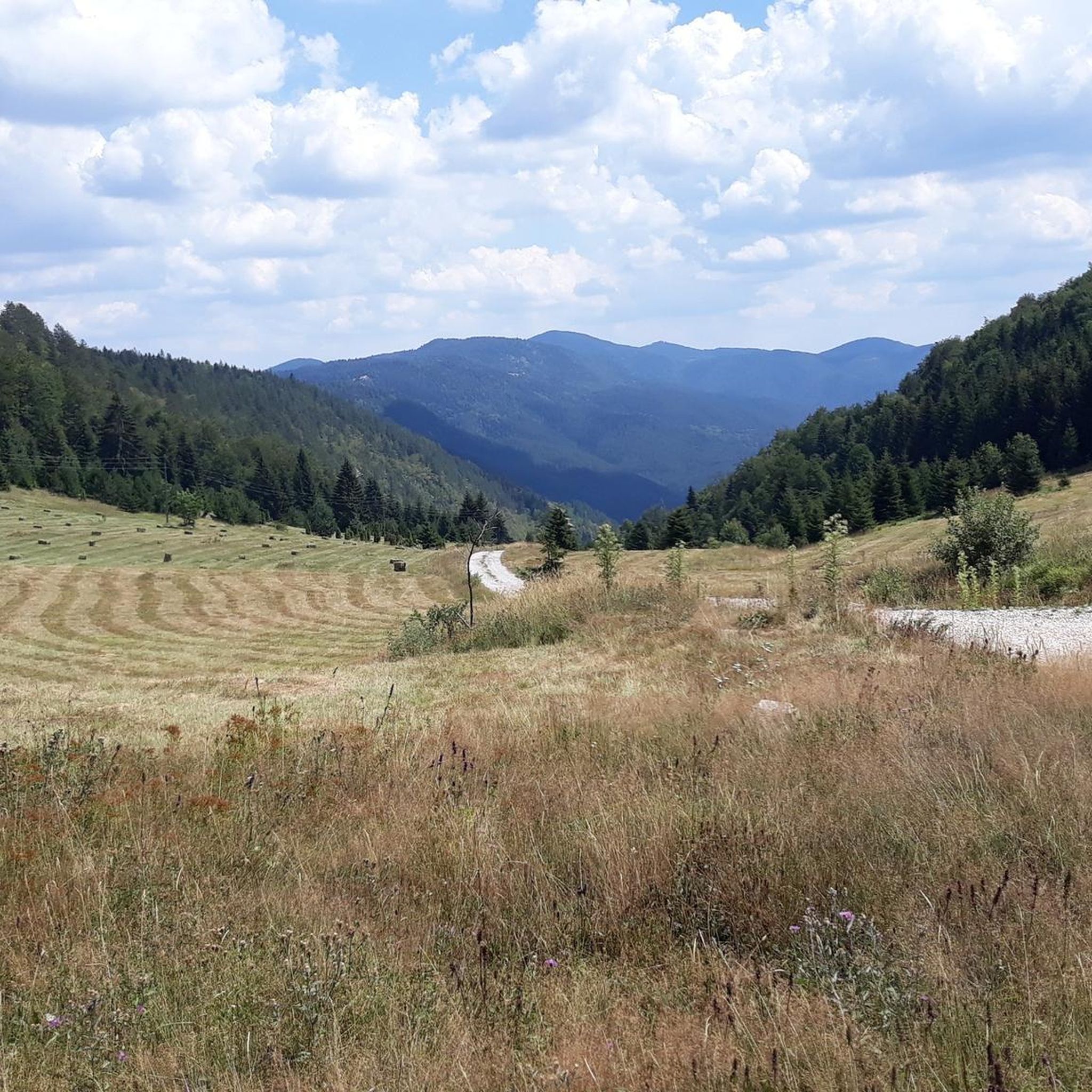
This is the highest road pass on Tara, 1470m. There is cleared area that you can take a brake and look at the highest peak in the area, Veliki Stolac 1673m (on picture) Enjoy and respect
0
0

Heaven fo XC Cycling, a lot of gravel roads, beautiful nature
1
0
Frequently Asked Questions
What kind of terrain can I expect when touring cycling in Nacionalni Park Tara?
Nacionalni Park Tara features diverse landscapes, including over 80% forest cover with black and white pine, spruce, and fir, as well as the endemic Serbian spruce. You'll encounter mountainous terrain with an average altitude of 1,000 to 1,200 meters, offering varied routes. The magnificent Drina River canyon and serene lakes like Zaovine and Perućac also contribute to the scenic beauty.
Are there any circular touring cycling routes in Nacionalni Park Tara?
Yes, many of the touring cycling routes in Nacionalni Park Tara are designed as loops. For example, you can explore the View of Zaovine Lake loop from Tara National Park, which is 34.1 km long, or the Osluša Viewpoint loop from Mala Reka, covering 40.8 km.
What are the best viewpoints to visit along the cycling routes in Nacionalni Park Tara?
Nacionalni Park Tara is renowned for its stunning viewpoints. Along your cycling routes, you can reach spots like the Osluša Viewpoint, which offers expansive vistas of the park's landscape. Other notable viewpoints include Banjska Stena, Bilješka Stena, Crnješkovo, and Sjenic, providing panoramic views of the Drina River canyon and surrounding lakes.
Are there any easy touring cycling routes suitable for beginners in Nacionalni Park Tara?
While many routes in Nacionalni Park Tara are rated as difficult due to significant elevation gains, there is one moderate route available. Most routes require good to very good fitness, often involving unpaved gravel roads with inclines. It's advisable to check the route details on komoot for specific difficulty levels before you set out.
What kind of surfaces can I expect on the touring cycling paths in Nacionalni Park Tara?
The cycling paths in Nacionalni Park Tara utilize a mix of existing public and forest roads. While some segments are mostly paved and suitable for various skill levels, many others are unpaved gravel roads. These gravel sections often feature significant inclines, which may require good fitness and, in some parts, even pushing your bike.
What natural attractions can I see while cycling in Nacionalni Park Tara?
Beyond the dense forests, you can encounter several natural attractions. The View of Zaovine Lake and View of Lake Perućac are popular highlights. You can also experience the majestic Drina River canyon, and the unique Vrelo River, known as the 'Year River' due to its 365-meter length, which flows into the Drina.
Are there any cultural or historical landmarks near the cycling routes?
Yes, you can visit the Rača Monastery, a significant religious building, which is one of the nearby attractions in Nacionalni Park Tara. It offers a glimpse into the region's rich history and culture.
What do other touring cyclists say about their experience in Nacionalni Park Tara?
The touring cycling routes in Nacionalni Park Tara are highly rated by the komoot community, with an average score of 4.9 stars from more than 15 reviews. Cyclists often praise the stunning natural beauty, the challenging yet rewarding terrain, and the panoramic views from various viewpoints.
What is the longest touring cycling route available in Nacionalni Park Tara?
One of the longer and more challenging routes is the Highest Pass on Tara – Gravel Loop Near Mitrovac loop from Konjska Reka. This difficult route spans 58.9 km and involves a substantial elevation gain of over 1,600 meters, typically taking nearly 6 hours to complete.
Can I find routes that combine forest exploration with scenic views?
Absolutely. Many routes in Nacionalni Park Tara traverse dense forested areas while also leading to spectacular viewpoints. For instance, the Hajdučka Česma Rest Area – Osluša Viewpoint loop from Tara National Park takes you through lush woodlands and towards the renowned Osluša Viewpoint, offering a balanced experience of nature and vistas.
Is it possible to rent bikes within Nacionalni Park Tara?
Yes, it is generally possible to rent bikes within Nacionalni Park Tara. For specific information on bike rental locations and availability, it's recommended to inquire at tourist information offices in nearby towns such as Bajina Bašta.
Are there any routes that pass by lakes?
Yes, several routes offer views of the park's beautiful lakes. The View of Zaovine Lake loop from Tara National Park is a prime example, providing scenic vistas of the tranquil Zaovine Lake and its surrounding green hills and pine forests.
Most popular routes in Nacionalni Park Tara
Most popular attractions in Nacionalni Park Tara

Get inspired with the komoot mobile app


Explore more
Browse the best Cycling routes in other regions.
