The best gravel rides in Sierra De Loja
4.3
(3)
56
riders
5
rides
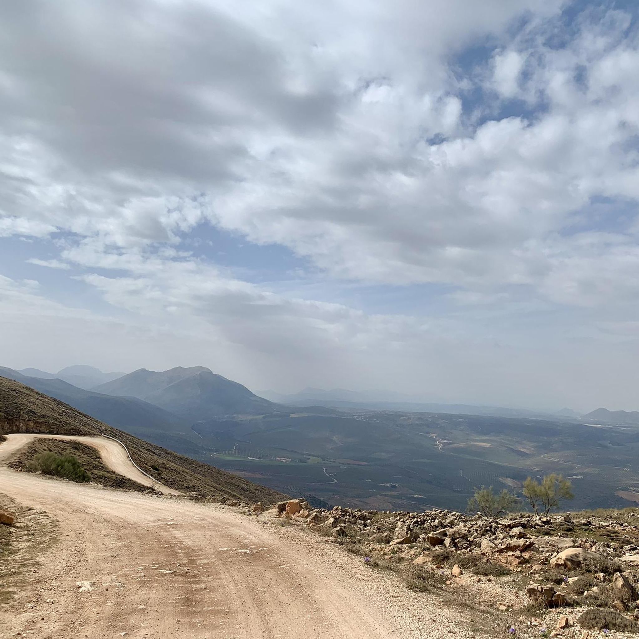
Gravel biking in Sierra De Loja offers diverse terrain within a distinctive karst landscape, part of the Subbética mountain range. The region features prominent limestone massifs, rugged ravines, and an extensive network of unpaved roads and trails. Elevations reach up to 1670 meters, providing challenging climbs and descents through stony open areas, holm oaks, pine forests, and olive groves. This varied topography creates an ideal setting for gravel biking.
Best gravel bike trails in Sierra De Loja
- The most popular…
Last updated: July 2, 2026
5.0
(1)
2
riders
36.1km
02:12
430m
430m
Moderate gravel ride. Good fitness required. Mostly paved surfaces. Suitable for all skill levels.
1
riders
Hard gravel ride. Very good fitness required. Mostly paved surfaces. Suitable for all skill levels.

Sign up for free
4.0
(1)
4
riders
Hard gravel ride. Very good fitness required. Mostly paved surfaces. Suitable for all skill levels.
22
riders
Hard gravel ride. Very good fitness required. Mostly paved surfaces. Suitable for all skill levels.
5
riders
58.2km
04:17
1,330m
1,330m
Hard gravel ride. Very good fitness required. Mostly paved surfaces. Suitable for all skill levels.
Our route recommendations are based on thousands of hikes, rides, and runs completed by other people on komoot.
Start today with a free account
Your next adventure awaits.
Login or Signup
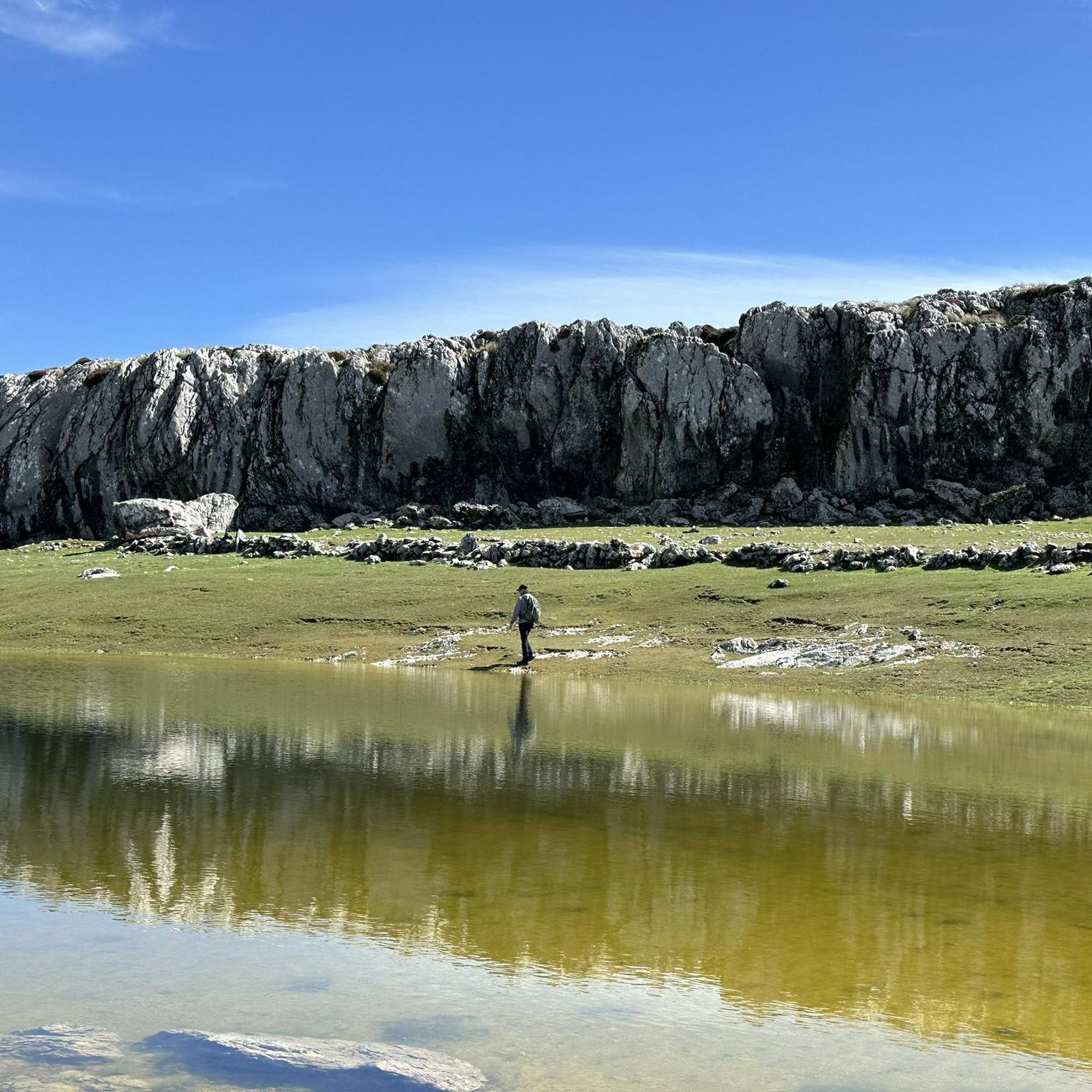
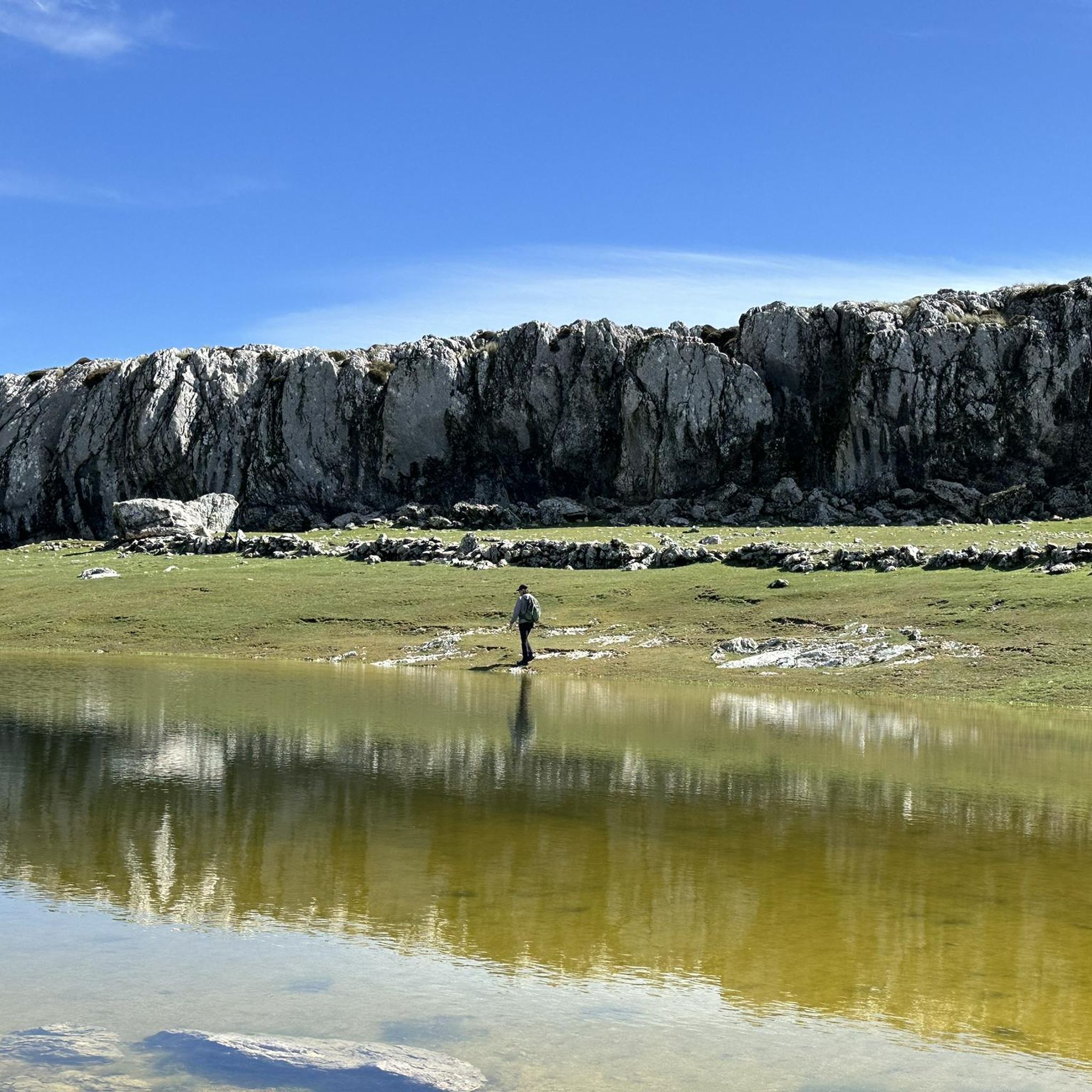
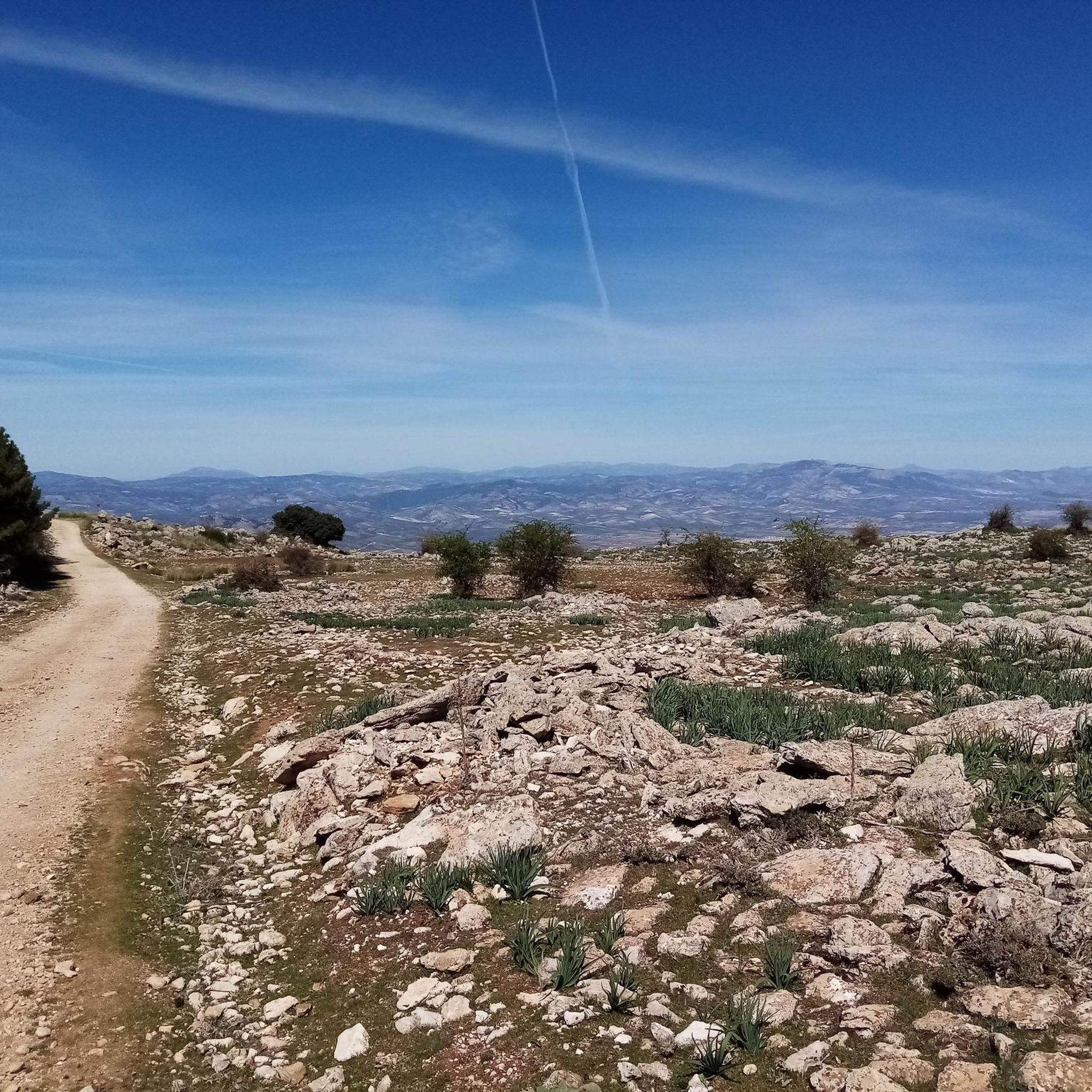
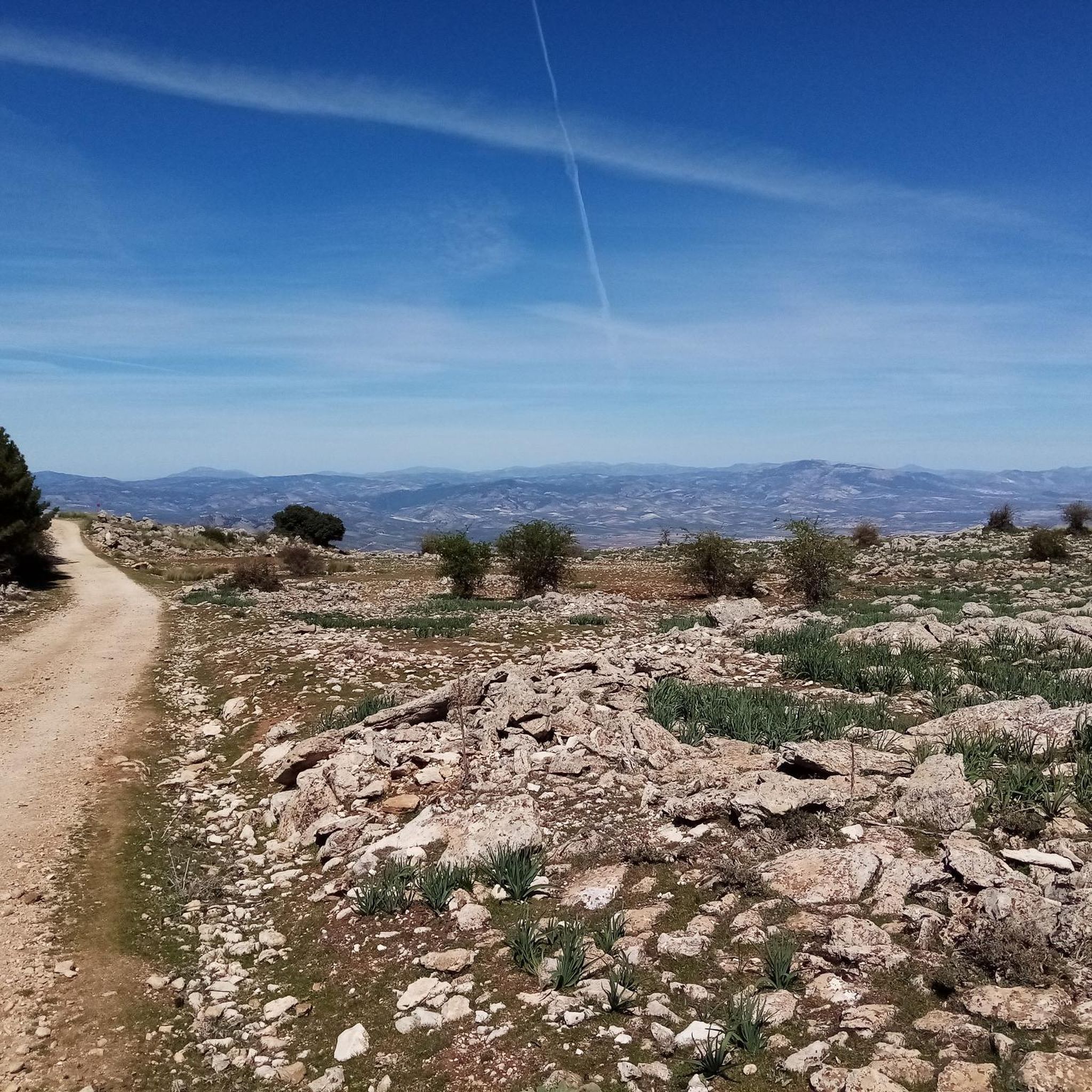
Tips from the Community

Andalusian wetland, with parking area, bird watching and recommended restaurants
0
0
Parking area and recommended restaurants
0
0


I was there mid november and the fountain was empty...
0
1

The Hermitage of Our Lady of the Angels is located on the Camino de la Trucha, which runs parallel to the Alhama or Marchán River, at the foot of the impressive Alhama Cliffs. There are two routes to reach the hermitage from the village. One is a wide dirt road that begins at the school, and another, which we liked the most, leads through one of the most beautiful places in Alhama. It begins at the old Pérez cinema, passes through the flour mills, and passes through some washhouses carved into the rock itself.
0
0

An absolute must-see. The Summer Palace is especially worth a visit.
2
0

The Castillo de Alhama de Granada is a historic castle located in the centre of Alhama de Granada, near the Iglesia del Carmen. This castle was built on the foundations of an old Arab alcazaba (fortress) and has a rich history dating back to the Moorish period. The castle played an important role during the Reconquista, the reconquest of Spain by the Christian kingdoms. In February 1482, the castle was conquered by the troops of the Catholic Monarchs, Ferdinand and Isabella. After the conquest, the castle was fortified to prevent the Moors from reconquering it. The castle is now an important cultural and historical monument in Alhama de Granada. Although it is privately owned and not open to the public, it remains a recognisable and iconic building in the city, with its striking red colour
9
0
Frequently Asked Questions
How many gravel bike trails are available in Sierra De Loja?
Sierra De Loja offers a selection of 5 challenging gravel bike routes, all rated as difficult. These trails provide significant elevation gains and diverse terrain for experienced riders.
What is the best time of year for gravel biking in Sierra De Loja?
The region is suitable for gravel biking for much of the year. Spring and autumn generally offer the most pleasant temperatures. While winter riding is possible, be prepared for cooler conditions, especially at higher elevations. Summers can be very hot, so early morning or late afternoon rides are recommended during this season.
Are there any easy or family-friendly gravel bike trails in Sierra De Loja?
The gravel bike trails in Sierra De Loja are generally considered challenging, featuring significant elevation changes and rugged terrain. Currently, all listed routes are rated as difficult, making them more suitable for experienced riders with good fitness rather than beginners or families seeking easy rides.
What kind of terrain can I expect on gravel bike trails in Sierra De Loja?
You can expect a highly varied and rugged landscape. The Sierra De Loja is characterized by its unique karst topography, featuring limestone massifs, extensive sinkhole formations, and dramatic ravines. Trails often traverse stony, rocky, and dry open areas, as well as patches of holm oaks, pine forests, and olive groves. The unpaved roads and tracks provide a true gravel biking experience with plenty of climbs and descents.
Are there any circular gravel bike routes available in Sierra De Loja?
Yes, all the gravel bike routes in Sierra De Loja are designed as loops, allowing you to start and finish at the same point. For example, you could explore the Hotel La Bobadilla – Mirador de Sylvania loop from Loja, which covers 58.2 km with nearly 900 meters of elevation gain.
Where can I park my car when accessing gravel trails in Sierra De Loja?
Parking options vary depending on the specific trailhead. Many routes start from or pass through towns and villages like Loja or Villanueva del Trabuco, where public parking may be available. For routes like the Hundred‑Spout Fountain – Molino Jabonero loop from Villanueva del Trabuco, you'll typically find parking within or near the starting village.
What do other gravel bikers enjoy most about Sierra De Loja?
The area is highly rated by the komoot community, with an average score of 4.0 stars. Riders often praise the remote and quiet experience, the dramatic karst landscapes, and the challenging nature of the routes. The extensive network of unpaved roads and the panoramic views are frequently highlighted as key attractions.
Are there any viewpoints or scenic spots along the gravel trails?
Absolutely. The Sierra De Loja offers numerous opportunities for breathtaking views. From higher elevations, you can often enjoy panoramic vistas across the unique karst landscape, and on clear days, even glimpse the Mediterranean Sea. Routes like the Venta de Alfarnate & Museum – Puerto del Sol loop from Periana will take you to elevated points offering expansive scenery.
Can I find cafes or restaurants near the gravel bike trails in Sierra De Loja?
Many gravel routes in Sierra De Loja pass through or start near traditional white villages. These villages, such as Loja, Villanueva del Trabuco, or Periana, often have local cafes and restaurants where you can refuel and experience local culture. It's a good idea to plan your route to include these stops.
Are there any water features or natural monuments to see on the trails?
Yes, despite its often stony nature, the region has notable water features. The Genil River plays a role in shaping the environment, particularly at Los Infiernos de Loja, a natural monument known for its beautiful waterfalls and travertine sites. While not directly on every gravel route, these natural attractions are part of the broader regional appeal.
What is the longest gravel bike route in Sierra De Loja?
The longest gravel bike route currently listed is the Hundred‑Spout Fountain – Molino Jabonero - Learn everything about Olives loop from Villanueva del Trabuco. This challenging route spans 82.4 kilometers and involves over 1000 meters of elevation gain, typically taking around 7 hours and 51 minutes to complete.
What is the most challenging gravel bike route in terms of elevation gain?
For the most significant elevation challenge, consider the Miguel Álvarez Viewpoint – Top of the Climb loop from Alcaucín. This route features an impressive 1326 meters of ascent over its 58.2-kilometer distance, making it a demanding ride for even the fittest gravel bikers.
Most popular routes in Sierra De Loja

Get inspired with the komoot mobile app


Explore more
Browse the best Gravel rides in other regions.
