The best MTB trails in Hepburn Regional Park
13
riders
3
rides
Mountain biking in Hepburn Regional Park offers diverse landscapes, from serene bushland to historical gold rush sites. The region is characterized by natural mineral springs, picturesque waterfalls like Sailors Falls, and volcanic features such as Mount Franklin, an extinct crater providing panoramic views. Riders can explore varied terrain, including tracks winding through bushland and along creeks that were once sites of intense mining activity. This area provides a unique backdrop for outdoor exploration on two wheels.
Best mountain bike trails…
Last updated: June 29, 2026
10
riders
91.7km
09:29
1,390m
1,390m
Hard mountain bike ride. Very good fitness required. Advanced riding skills necessary.
1
riders
20.7km
01:52
310m
310m
Moderate mountain bike ride. Good fitness required. Suitable for all skill levels.

Sign up for free
2
riders
Moderate mountain bike ride. Good fitness required. Suitable for all skill levels.
Our route recommendations are based on thousands of hikes, rides, and runs completed by other people on komoot.
Start today with a free account
Your next adventure awaits.
Login or Signup
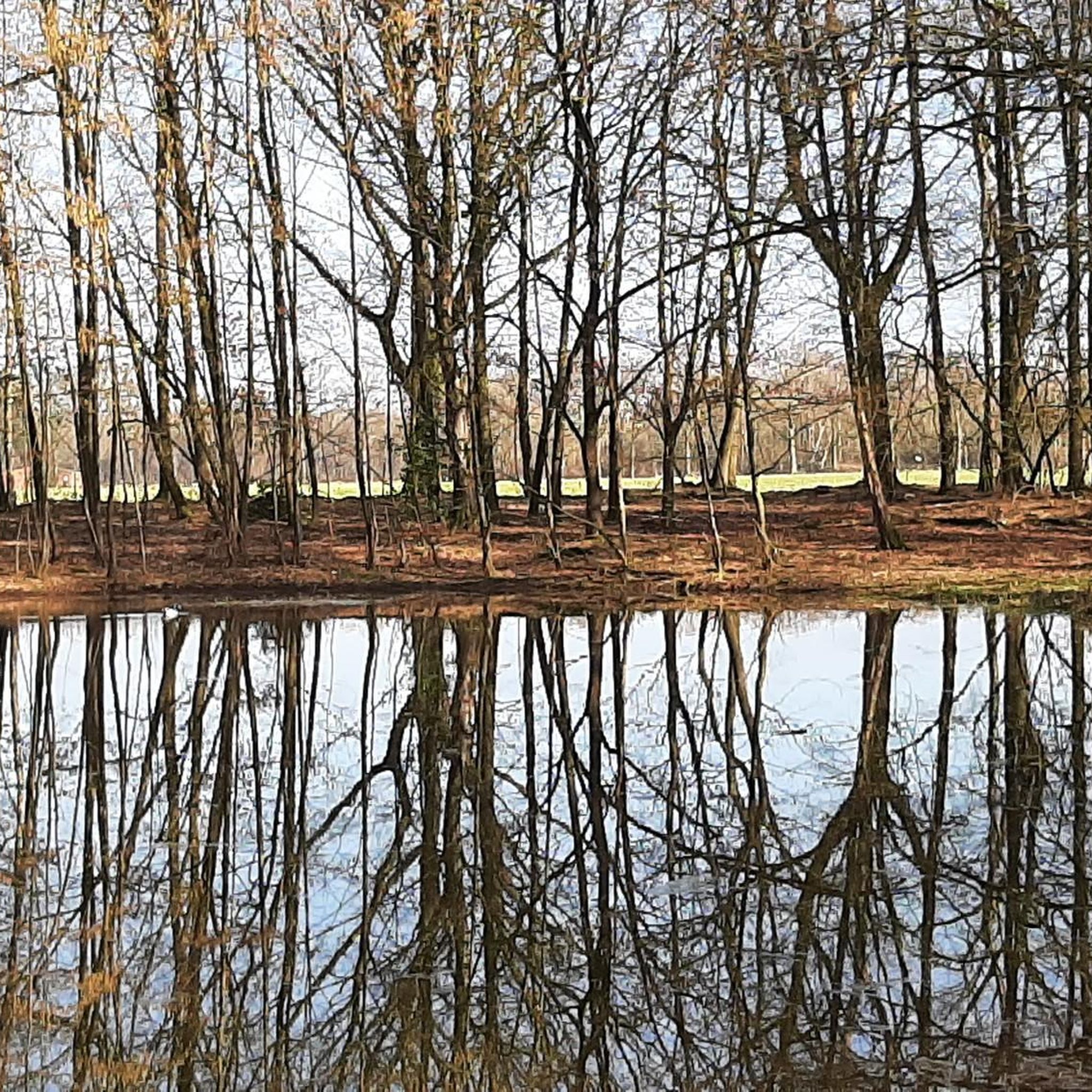

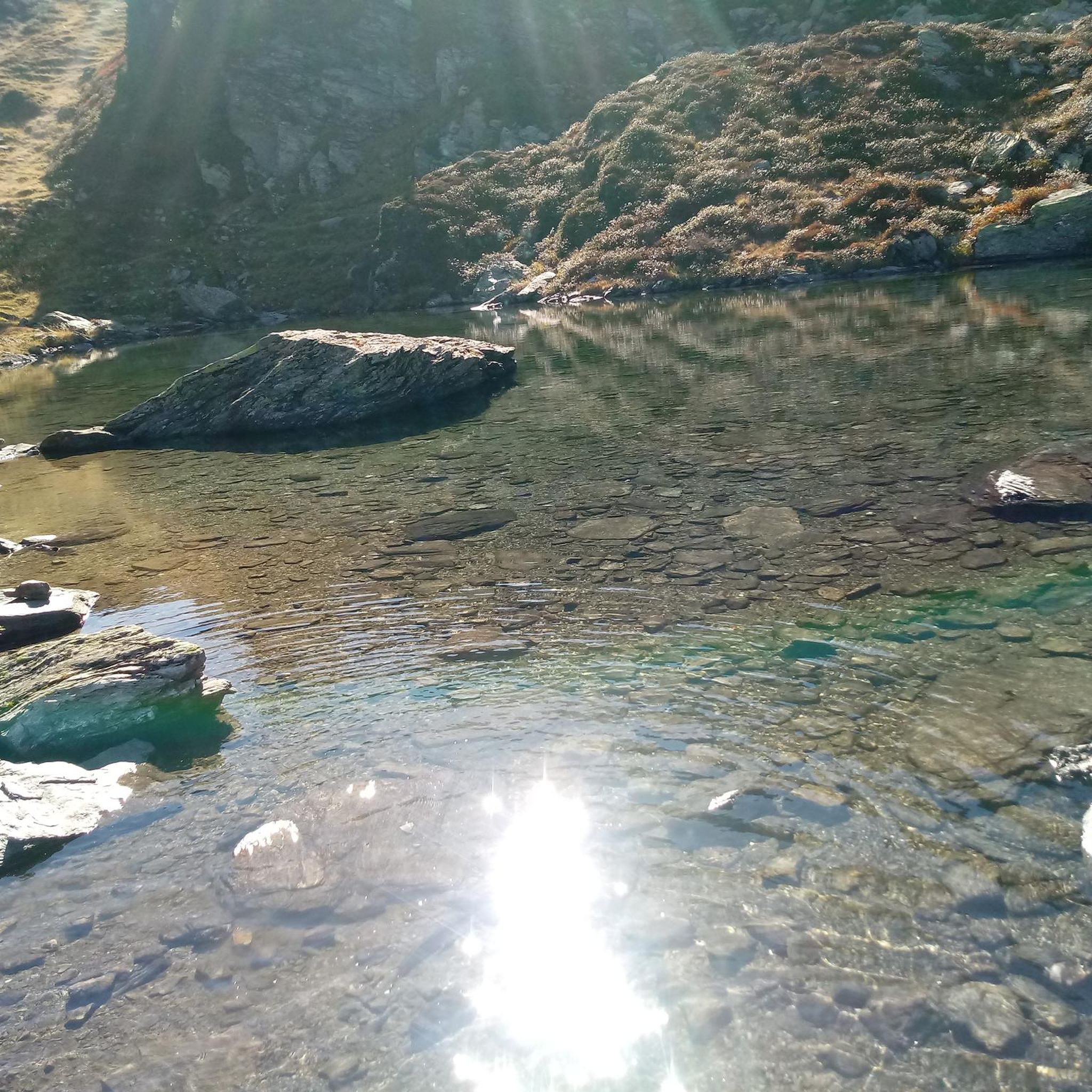
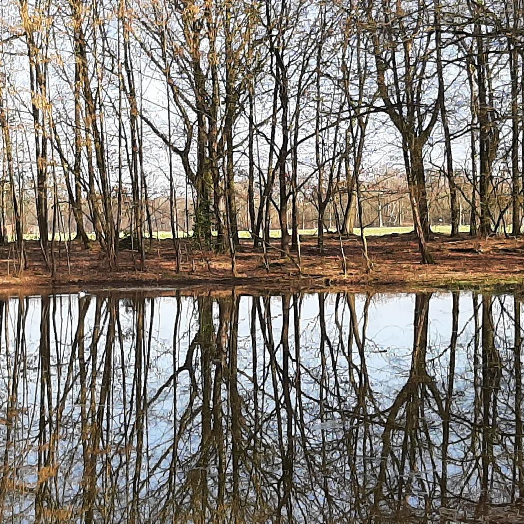
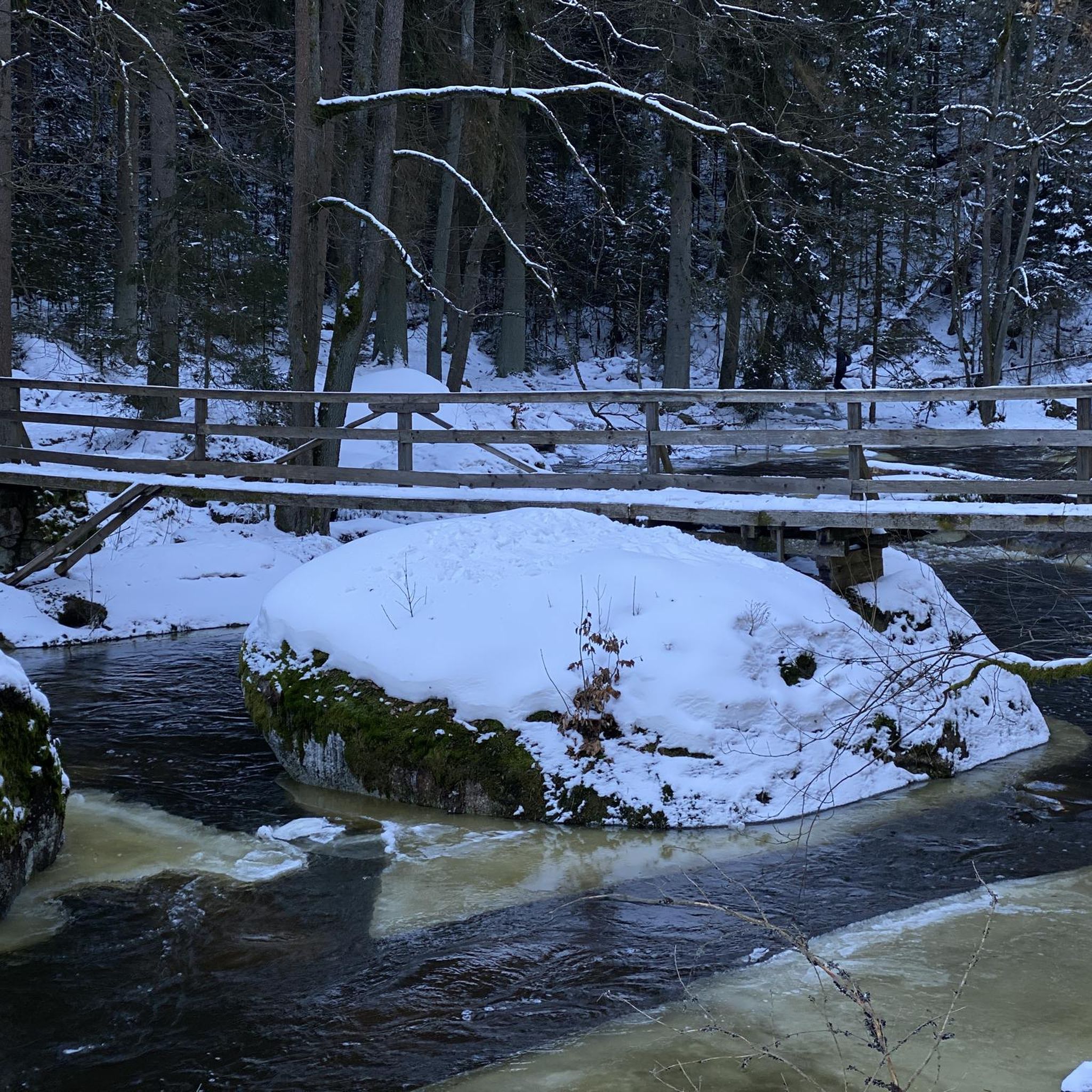
Tips from the Community

I would not recommend the Daylsford to Creswick section of the Goldfields Trail to anyone. Without a navigation app like Komoot it would be impossible to stay on the trail - or find it in the first place. The trail markers for the trail are everywhere except where you would expect them. The tourist office has no clue about the trail. We found the trail and then found ourselves on an almost impossible-to-ride track with massive boulders. We subsequently surmised that we had found the walking track - but no signage to help. The track then becomes quite rideable if you don't mind deep mud puddles. However there is a huge range of trail conditions, from wide 4WD sized track to narrow single-bike trail with sharp twists and turns and logs that the bikes need to be lifted over. One of our team had a nasty fall from his bike in one of these sections. Continual vigilance is needed to stay on the trail. The last section into Creswick is on small flattish country roads and goes for 18 kms. We battled gale-force head winds in this section and we were already totally exhausted at this point. So, when Komoot rates this ride as 'Expert' i would fully agree but as a group of septagenerians, we were chuffed to have finished it in one piece. There is some quite spectacular views, especially going over the summit.
0
0
Frequently Asked Questions
How many mountain bike trails are available in Hepburn Regional Park?
Hepburn Regional Park offers a selection of mountain bike trails, with at least three distinct routes detailed for exploration. These include options ranging from moderate to difficult, catering to various skill levels.
What kind of terrain can I expect on mountain bike trails in Hepburn Regional Park?
The terrain in Hepburn Regional Park is diverse, featuring serene bushland, historical gold rush sites, and tracks winding along creeks. You'll encounter varied landscapes, including areas shaped by past mining activities and natural features like mineral springs and volcanic formations.
Are there mountain bike trails suitable for beginners or families in Hepburn Regional Park?
Yes, there are moderate trails suitable for those looking for a less strenuous ride. For example, the Mountainbike loop from Daylesford is a moderate 14.2-mile (22.9 km) path that explores scenic surroundings, making it a good option for those seeking a more accessible experience.
Are there any challenging mountain bike routes for experienced riders?
Experienced riders looking for a challenge can tackle routes like the Poverty Gully Reservoir – The Monk loop from Hepburn Springs. This difficult trail spans 57.0 miles (91.7 km) and involves significant elevation changes, traversing extensive sections of the park's diverse terrain.
What natural features or landmarks can I see while mountain biking in Hepburn Regional Park?
While mountain biking, you can encounter several natural features and historical landmarks. The park is known for its natural mineral springs, picturesque waterfalls like Sailors Falls, and volcanic features such as Mount Franklin (Lalgambuk), an extinct crater offering panoramic views. You'll also find relics from the gold mining era along many tracks.
Are there any waterfalls accessible from the mountain bike trails?
Yes, picturesque waterfalls like Sailors Falls are part of the scenic beauty of Hepburn Regional Park. The Blowhole, an area where 1850s gold miners diverted Sailors Creek, is also a notable feature that adds to the landscape.
Can I visit the mineral springs while mountain biking?
The region is renowned for its natural mineral springs, and the park encompasses several, including Sailors Falls, Tipperary Springs, Golden Springs, and Argyle Springs. While some are accessible via walking tracks, you can plan your mountain bike route to pass near or through areas where these springs are located, such as the Hepburn Mineral Springs Reserve.
Where can I park when visiting Hepburn Regional Park for mountain biking?
Parking is generally available at various access points to Hepburn Regional Park. Specific picnic areas like Mount Franklin, Twin Bridges, and Bryces Flat offer facilities, including wood-fired barbecues, and are suitable for parking. It's advisable to check local signage upon arrival for designated parking areas.
Is public transport available to access the mountain bike trails?
While Hepburn Regional Park is primarily accessed by car, public transport options to the nearby townships of Daylesford and Hepburn Springs exist. From these towns, you may need to cycle or arrange local transport to reach specific trailheads within the park.
What is the best time of year to go mountain biking in Hepburn Regional Park?
The Goldfields Track, a significant shared path running through Hepburn Regional Park, is suitable for mountain biking year-round. However, conditions can vary with seasons. Spring and autumn generally offer pleasant temperatures, while summer can be warm and winter might bring cooler, potentially wetter conditions. Always check local weather forecasts before heading out.
Are there any loop mountain bike trails in Hepburn Regional Park?
Yes, there are several loop options available. For instance, the Dry Diggings Bushland Reserve loop from Little Hampton is a 29.5-mile (47.5 km) trail that takes you through bushland and historical gold mining areas. Another is the Mountainbike loop from Daylesford, a moderate 14.2-mile (22.9 km) route.
What do other mountain bikers enjoy the most about mountain biking in Hepburn Regional Park?
Mountain bikers frequently praise the diverse terrain and the unique blend of natural beauty and historical significance in Hepburn Regional Park. The opportunity to explore areas rich with gold rush relics, alongside serene bushland and natural mineral springs, makes for a distinctive riding experience.
Are dogs allowed on mountain bike trails in Hepburn Regional Park?
Generally, dogs are permitted in Hepburn Regional Park but must be kept on a leash at all times. It's always best to check the latest regulations on the Parks Victoria website for specific trail restrictions or designated off-leash areas before your visit. You can find more information on their official site: parks.vic.gov.au.
Most popular routes in Hepburn Regional Park

Get inspired with the komoot mobile app


Explore more
Browse the best MTB trails in other regions.
