The best walks and hikes in Owl Lake Recreation Reserve
4.7
(27)
227
hikers
4
hikes
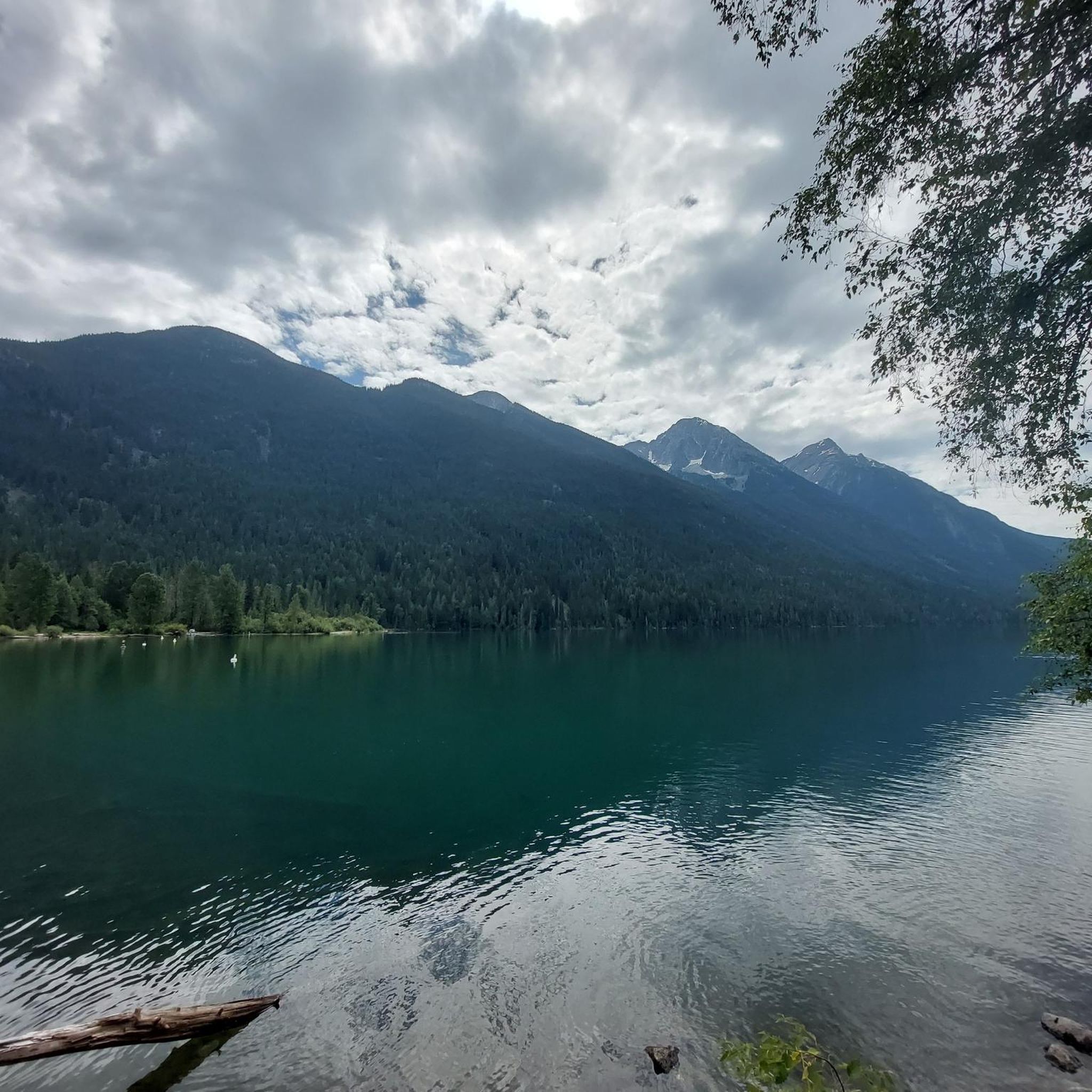
Hiking in Owl Lake Recreation Reserve, located in British Columbia, offers a diverse landscape characterized by forested trails, lakefront paths, and views of surrounding mountains. The region features varied terrain, from gentle lakeside loops to more challenging routes with elevation gains. Hikers can expect to encounter natural features typical of the Pacific Northwest, including dense woodlands and freshwater bodies.
Best hiking trails in Owl Lake Recreation Reserve
- The most popular hiking route is Viewpoint Mount Currie loop from Pemberton Station, a 5.7 miles (9.1 km) trail that takes 2 hours 19 minutes to complete. This moderate route offers scenic views of Mount Currie.
- Another top favourite among local hikers is One Mile Lake Park loop from Pemberton, an easy 3.3 miles (5.3 km) path. This trail provides a tranquil experience around One Mile Lake, suitable for all skill levels.
- Local hikers also love the Nairn Falls Trailhead Parking – Nairn Falls loop from Pemberton, a 6.8 miles (11.0 km) trail leading through forested areas to the impressive Nairn Falls, often completed in about 3 hours 6 minutes.
- Hiking in Owl Lake Recreation Reserve is defined by forested paths, lake shorelines, and mountain vistas. The network offers options for different ability levels, from easy strolls to moderate ascents.
- The routes in Owl Lake Recreation Reserve are highly rated by the komoot community with an average score of 4.8 stars from over 20 reviews. More than 190 hikers have used komoot to explore Owl Lake Recreation Reserve's varied terrain.
Last updated: October 1, 2026
4.5
(2)
13
hikers
9.24km
02:21
20m
20m
Moderate hike. Good fitness required. Easily-accessible paths. Suitable for all skill levels.
5.0
(1)
12
hikers
5.32km
01:25
60m
60m
Easy hike. Great for any fitness level. Easily-accessible paths. Suitable for all skill levels.

4.6
(17)
107
hikers
11.1km
03:08
230m
230m
Moderate hike. Good fitness required. Easily-accessible paths. Suitable for all skill levels.
5.0
(2)
18
hikers
7.48km
02:22
290m
290m
Moderate hike. Good fitness required. Easily-accessible paths. Suitable for all skill levels.
10
hikers
2.87km
00:48
50m
50m
Easy hike. Great for any fitness level. Easily-accessible paths. Suitable for all skill levels.
Our route recommendations are based on thousands of hikes, rides, and runs completed by other people on komoot.
Start today with a free account
Your next adventure awaits.
Popular around Owl Lake Recreation Reserve
Tips from the Community

The Green River in the Nairn Falls area is known for its strong currents. Therefore, swimming is not permitted in the Green River in Nairn Falls Provincial Park. Visitors are advised to stay on the trails.
2
0
The Nairn Falls parking lot is located directly on Highway 99 / Sea-to-Sky, about 30 km from Whistler and 4 km before the town of Pemberton – near a cliff that drops 15 meters to the Green River.
2
0

Starting point of a short, fairly flat hike
0
0
Lumpy's Epic is a loop trail south of Pemberton for mountain bikers and hikers. Part of the trail runs high on the rocky cliffs above the Green River - outside Nairn Falls Park, with views of Mount Currie in the distance. We ascended from Nairn Falls via the Tower of Power Trail, continued north for a section of Lumpy's Epic, and enjoyed the view of the mountains and the wide valley of the Lillooet River in bright sunshine. (Visit May 27, 2025) https://www.trailforks.com/trails/lumpy-s-epic-8691/
2
1
The Green River flows beneath the rocky cliff before joining the Lillooet River further north. The northern peaks of the Garibaldi Ranges are still covered in snow at the end of May. (Visit May 27, 2025)
2
1
One Mile Lake Park is located directly off Highway 99 / Sea to Sky Highway, a few kilometers south of Pemberton. In summer, the lake is a popular destination for swimming, hiking, and kayaking.
2
0
On the Lumpy's Epic Trail, you'll enjoy magnificent views down into the Green River Valley and north into the wide Lillooet River Valley with Mount Currie in the background. We weren't expecting to find a bench on the trail (visit May 27, 2025).
2
1
On the trail to Nairn Falls from the parking lot on Highway 99, there are many opportunities to catch a glimpse of the rushing Green River. Occasionally, speedboats carrying tourists pass by on their way to the waterfall.
2
0
Frequently Asked Questions
What kind of terrain can I expect when hiking in Owl Lake Recreation Reserve?
Owl Lake Recreation Reserve, located in British Columbia, offers a diverse landscape. You can expect forested trails, serene lakefront paths, and scenic views of the surrounding mountains. The terrain varies from gentle lakeside loops to more challenging routes with noticeable elevation gains, characteristic of the Pacific Northwest.
Are there hiking trails suitable for beginners or families in Owl Lake Recreation Reserve?
Yes, there are options for all skill levels. For an easy and tranquil experience, consider the One Mile Lake Park loop from Pemberton. This 3.3-mile (5.3 km) path is suitable for all skill levels and provides a peaceful walk around One Mile Lake.
Are there any trails with waterfalls in Owl Lake Recreation Reserve?
Yes, the Nairn Falls Trailhead Parking – Nairn Falls loop from Pemberton leads through forested areas to the impressive Nairn Falls. This 6.8-mile (11.0 km) moderate trail is a popular choice for those looking to experience a waterfall.
What do other hikers enjoy most about the trails in Owl Lake Recreation Reserve?
The hiking routes in Owl Lake Recreation Reserve are highly rated by the komoot community, with an average score of 4.8 stars from over 20 reviews. Hikers often praise the diverse terrain, from quiet woodlands to lake shorelines and mountain vistas, and the variety of options for different ability levels.
Are there any circular hiking routes in Owl Lake Recreation Reserve?
Yes, many of the trails are designed as loops, offering a convenient circular experience. Examples include the Viewpoint Mount Currie loop from Pemberton Station and the One Mile Lake Park loop from Pemberton, allowing you to start and end at the same point.
What are some of the natural features I might encounter on the trails?
Hikers can expect to encounter natural features typical of the Pacific Northwest, including dense woodlands, freshwater bodies like One Mile Lake, and views of surrounding mountains such as Mount Currie. The area's diverse ecosystem supports a variety of flora and fauna.
How long do hikes typically take in Owl Lake Recreation Reserve?
Hike durations vary depending on the trail and your pace. For instance, the easy One Mile Lake Park loop typically takes about 1 hour 25 minutes, while the moderate Nairn Falls loop can take around 3 hours 6 minutes.
Are there any trails with significant elevation gain for a more challenging hike?
While many trails offer gentle ascents, some routes provide more significant elevation changes. For example, the Lumpy’s Epic Trail – One Mile Lake loop from Pemberton has an elevation gain of over 280 meters, offering a more strenuous experience.
What is the best time of year to go hiking in Owl Lake Recreation Reserve?
Given its location in British Columbia, the best time to visit for hiking is generally during the warmer months, from late spring through early autumn (May to October), when trails are clear of snow and weather conditions are most favorable. Always check local weather forecasts before heading out.
Are there any specific viewpoints or scenic spots along the trails?
Yes, several trails offer rewarding views. The Viewpoint Mount Currie loop from Pemberton Station is specifically known for its scenic views of Mount Currie. Lakeside paths also provide picturesque settings.
How many hiking trails are available in Owl Lake Recreation Reserve?
Komoot features a selection of top hikes and walks in Owl Lake Recreation Reserve, including a variety of routes for different skill levels and interests. The network is quite diverse, offering numerous options for exploration.
Most popular routes in Owl Lake Recreation Reserve

Get inspired with the komoot mobile app


Explore more
Browse the best Hikes in other regions.
