Gorobel Mendilerroa Bbe/Zepa Sierra Sálvada
Gorobel Mendilerroa Bbe/Zepa Sierra Sálvada
The best gravel rides in Gorobel Mendilerroa Bbe/Zepa Sierra Sálvada
12
riders
6
rides
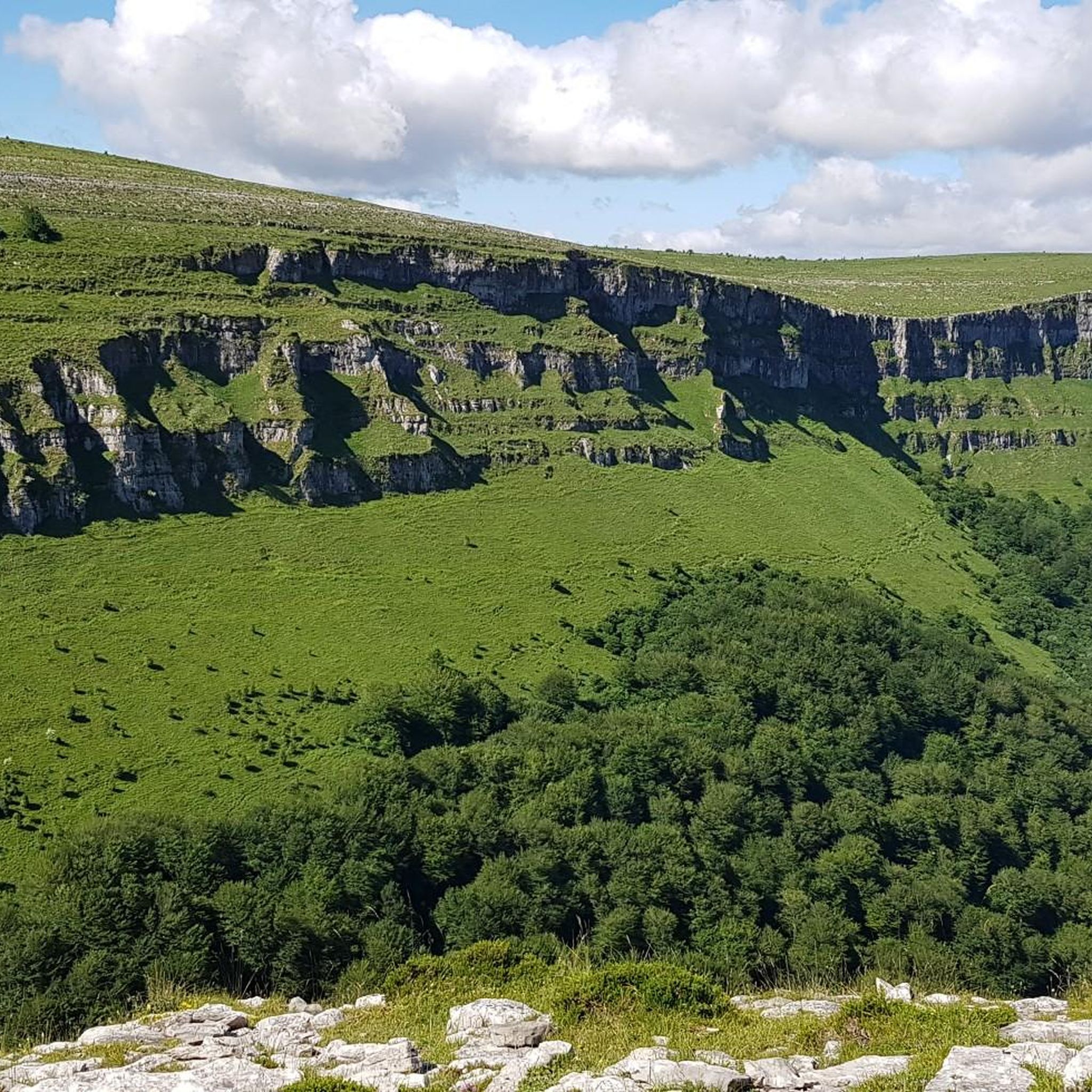
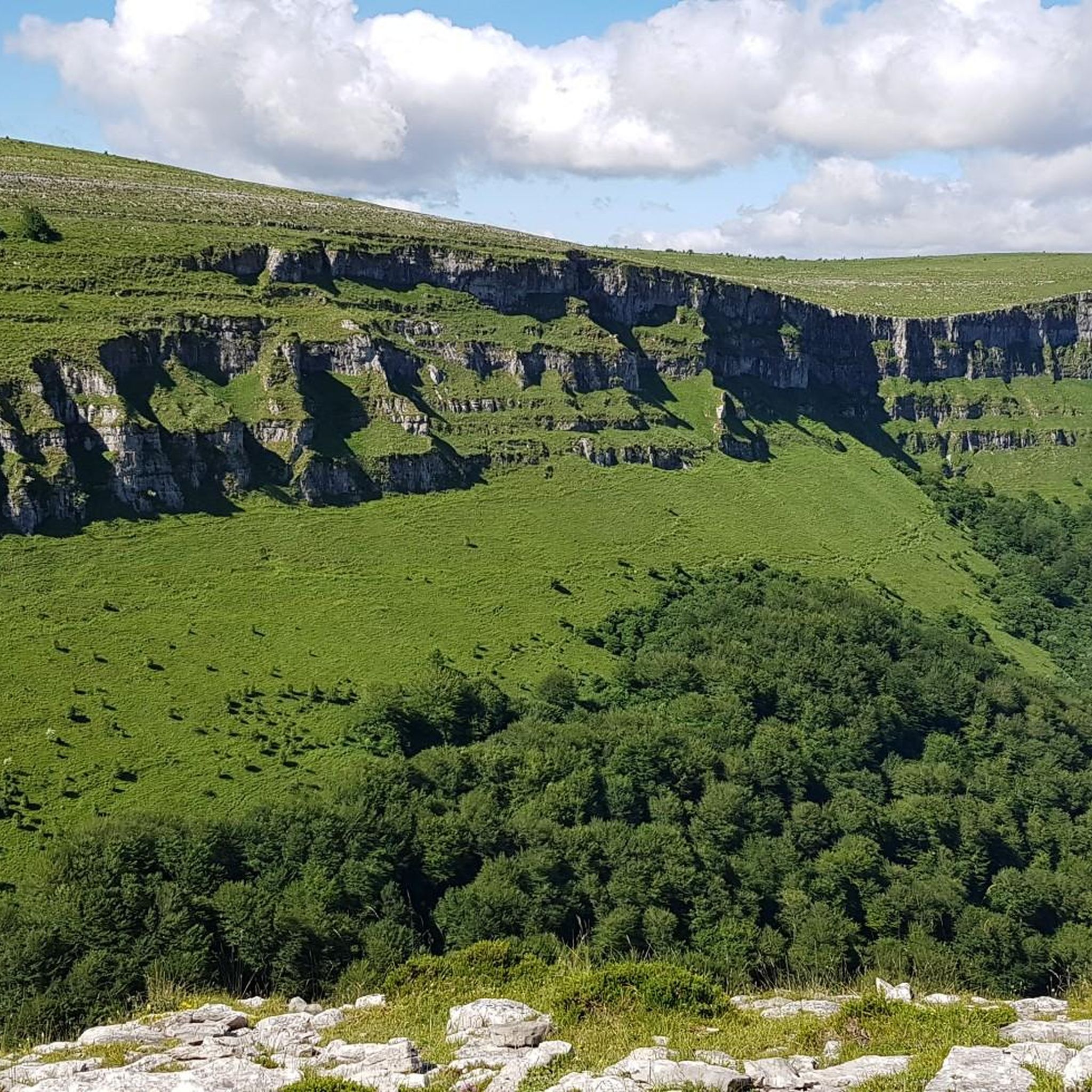
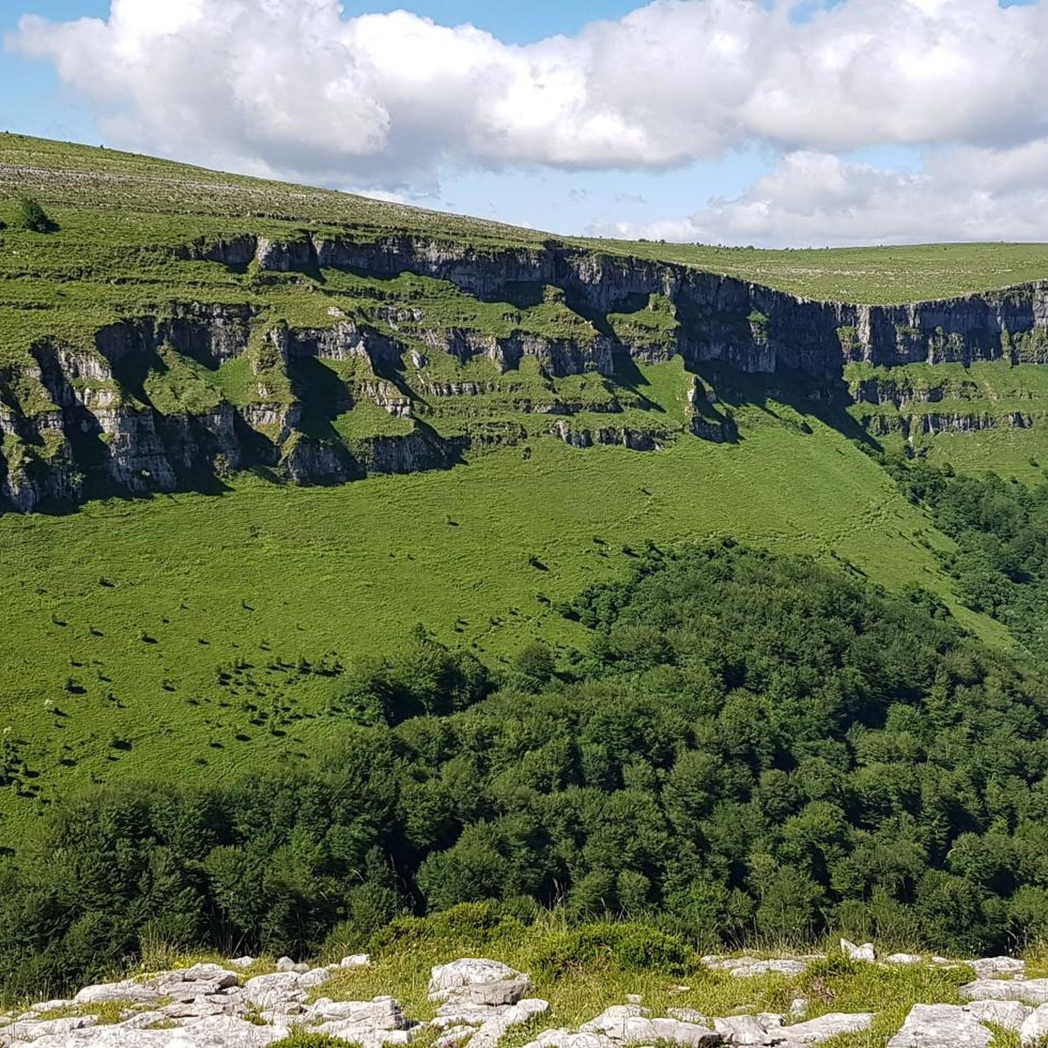
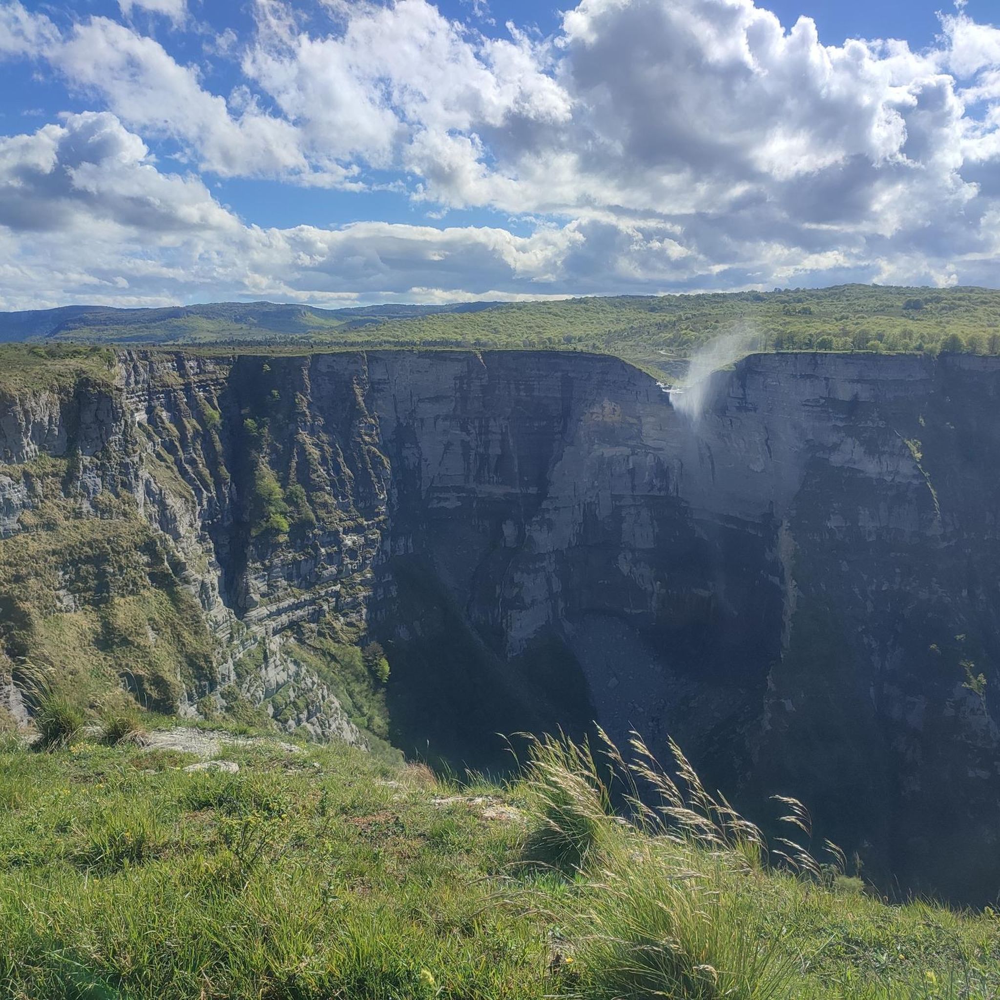
Gravel biking in Gorobel Mendilerroa Bbe/Zepa Sierra Sálvada offers extensive gravel tracks across a plateau spanning over 100 square kilometers. The region features diverse landscapes, including beech forests, grasslands, and valleys, alongside a prominent 27-kilometer long limestone wall. Elevations reach over a thousand meters, with the highest peak, Eskutxi, at 1,185 meters. This terrain provides varied routes, from smoother sections to challenging, rocky ramps.
Best gravel bike trails in Gorobel Mendilerroa Bbe/Zepa Sierra Sálvada
- The most popular gravel bike trail…
Last updated: May 16, 2026
2
riders
38.4km
03:02
810m
810m
Hard gravel ride. Very good fitness required. Mostly paved surfaces. Suitable for all skill levels.
3
riders
52.7km
04:04
890m
890m
Hard gravel ride. Very good fitness required. Mostly paved surfaces. Suitable for all skill levels.

Sign up for free
2
riders
26.8km
02:15
710m
710m
Hard gravel ride. Very good fitness required. Mostly paved surfaces. Suitable for all skill levels.
1
riders
48.4km
03:45
1,120m
1,120m
Hard gravel ride. Very good fitness required. Mostly paved surfaces. Suitable for all skill levels.
2
riders
27.5km
01:50
490m
490m
Hard gravel ride. Very good fitness required. Mostly paved surfaces. Suitable for all skill levels.
Our route recommendations are based on thousands of hikes, rides, and runs completed by other people on komoot.
Start today with a free account
Your next adventure awaits.
Login or Signup
Popular around Gorobel Mendilerroa Bbe/Zepa Sierra Sálvada
Tips from the Community

Amurrio was traditionally known as "El Crucero," a meeting point for routes between Castile and the Cantabrian ports. In the town center, the Ugarte Tower House (18th century), now the Cultural Center, the San Antón de Armuru Chapel (16th century), and the Church of Santa María with its 25-bell carillon, one of the largest in the Basque Country, stand out.
0
0

Mikel Landa's training ground. The climb to La Barrerilla from Orduña is beautiful, offering a natural view of the Orduña Valley.
0
0


Views of the valley where the Nervión River runs on its way to Bilbao, with Orduña in the background.
1
0

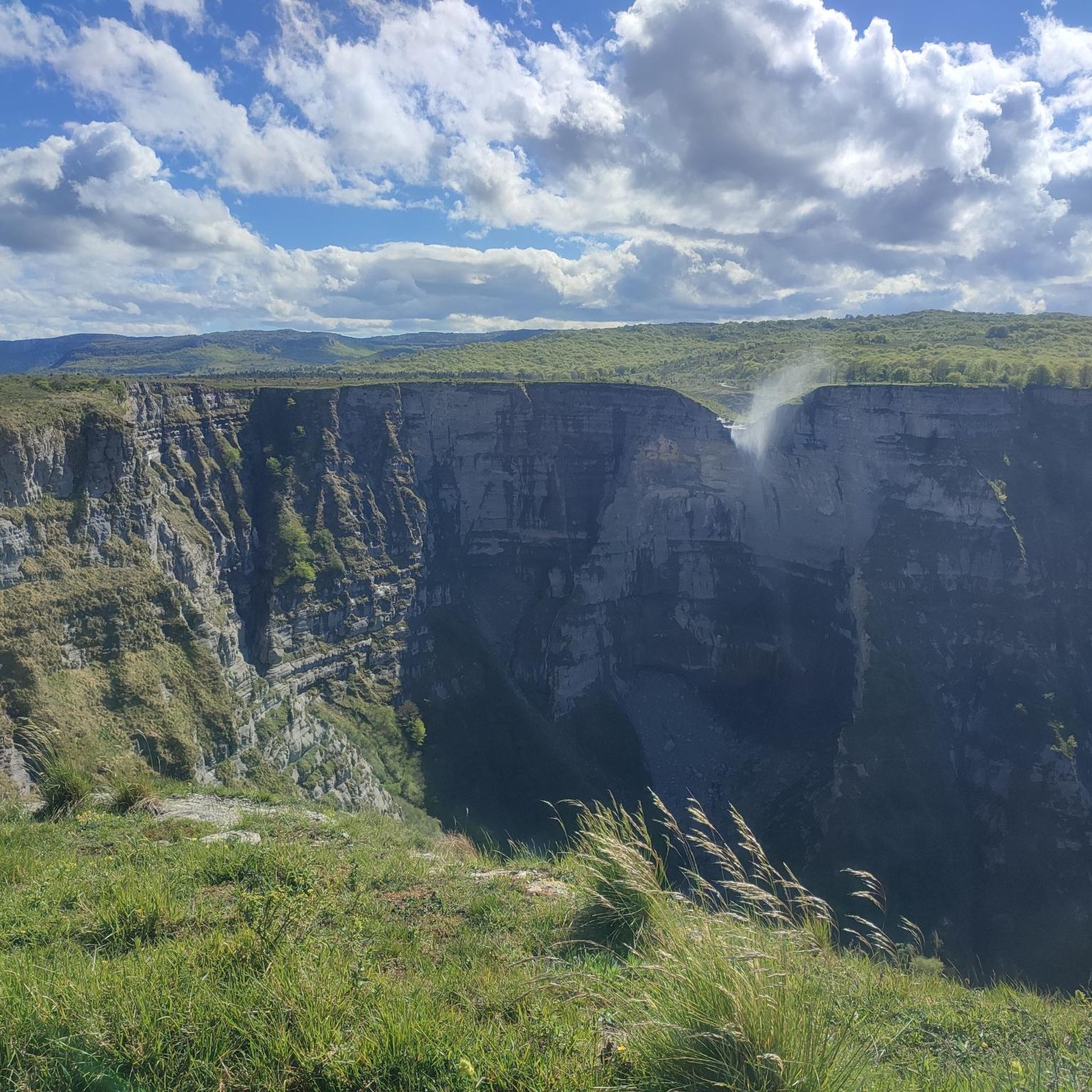
These trees are right above the enormous crater, here you can properly estimate the enormous depth.
10
0
From this beautiful point you can also see the road and see how big it all is.
2
0
Overwhelming depth and fun to cycle to.
2
0
The river that created this enormous crater has extinguished, but the view is great.
2
0
Frequently Asked Questions
What is the general terrain like for gravel biking in Gorobel Mendilerroa Bbe/Zepa Sierra Sálvada?
The region offers a diverse mix of landscapes, from beech forests and grasslands to valleys and peaks over a thousand meters. You'll find an extensive network of gravel tracks, including smoother sections and more challenging, rocky ramps. The area is also characterized by a prominent 600-meter high, 27-kilometer long limestone wall.
Are there any beginner-friendly gravel routes in the region?
While many routes in Gorobel Mendilerroa present significant elevation gain and are rated as difficult, there are sections that are smoother. For a route with a mix of open landscapes and forested areas, consider the Maroño Reservoir – View of Amurrio loop from Amurrio, which is 26.8 km long and takes about 2 hours 37 minutes.
What natural attractions can I expect to see while gravel biking in Sierra Sálvada?
A major highlight is the Nervión Waterfall, the highest waterfall in the Iberian Peninsula, especially spectacular after heavy rains. You can also encounter diverse landscapes including beech forests, grasslands, and dramatic limestone formations. The region is also a Special Protection Area, rich in biodiversity.
Are there any notable viewpoints along the gravel trails?
Yes, the region is known for its mesmerizing views. Routes often pass by viewpoints offering panoramic vistas. For example, the La Barrerilla Pass – Salto del Nervión Viewpoint loop from Orduña offers views towards the Salto del Nervión. Other notable viewpoints include Trees above the abyss and Esquina de Rubén Viewpoint.
What is the best time of year for gravel biking in Gorobel Mendilerroa?
The diverse landscapes, including beech forests and grasslands, are beautiful throughout much of the year. The Salto del Nervión waterfall is particularly spectacular during thaws or after heavy rains, making spring and autumn excellent times to visit for both riding and sightseeing. Always check local weather conditions before heading out.
Are there any circular gravel bike routes available?
Yes, many of the gravel routes in Gorobel Mendilerroa are designed as loops. Examples include the La Barrerilla Pass – Salto del Nervión Viewpoint loop from Orduña and the View of Amurrio – Maroño Reservoir loop from Amurrio, offering varied distances and challenges.
What do other gravel bikers enjoy most about the routes in Gorobel Mendilerroa?
The area is highly rated by the komoot community, with an average score of 5.0 stars. Reviewers often praise the extensive gravel tracks, the diverse landscapes ranging from beech forests to open grasslands, and the challenging yet rewarding elevation gains that lead to stunning panoramic views.
Are there options for advanced gravel cyclists looking for a challenge?
Absolutely. The region is well-suited for advanced riders, with many routes featuring significant elevation gain and challenging, rocky ramps. The La Barrerilla Pass – Salto del Nervión Viewpoint loop from Amurrio is a difficult 52.7 km path that includes challenging climbs and descents through varied terrain.
Can I find places to eat or stay near the gravel trails?
The towns surrounding Gorobel Mendilerroa, such as Orduña and Amurrio, offer amenities like cafes, pubs, and accommodation options. These can serve as convenient starting points or places to refuel after your ride.
Is Gorobel Mendilerroa suitable for family-friendly gravel biking?
While many routes are rated as difficult due to significant elevation, some sections are smoother and could be suitable for families with older, more experienced children. It's best to carefully review the route profiles and distances before choosing a trail for a family outing. The Ascent through trees and hills – Maroño Reservoir loop from Arespalditza / Respaldiza offers a shorter option at 26.7 km.
Are dogs allowed on the gravel biking trails?
Gorobel Mendilerroa is a natural area with free-ranging cattle and horses, and it is also a Special Protection Area for biodiversity. While specific regulations for dogs on gravel trails can vary, it's generally recommended to keep dogs on a leash to protect wildlife and livestock, and to ensure a safe experience for everyone. Always check local signage for specific restrictions.
What are the highest peaks in the Gorobel Mendilerroa range?
Gorobel Mendilerroa is home to 35 named mountains. The highest peak is Eskutxi at 1,185 meters. Other significant peaks include El Somo/Somomendi (1,170 m), Pico de Añes (1,149 m), and Ungino (1,099 m). These peaks offer challenging ascents and rewarding panoramic views, often visible from the gravel routes.
How many gravel bike routes are available in Gorobel Mendilerroa Bbe/Zepa Sierra Sálvada?
There are over 8 gravel bike routes available in Gorobel Mendilerroa Bbe/Zepa Sierra Sálvada, offering a variety of distances and challenges for different skill levels.
Most popular routes in Gorobel Mendilerroa Bbe/Zepa Sierra Sálvada
Most popular attractions in Gorobel Mendilerroa Bbe/Zepa Sierra Sálvada

Get inspired with the komoot mobile app


Explore more
Browse the best Gravel rides in other regions.
