The best road cycling routes in Muela De Los Tres Reinos
54
riders
4
rides
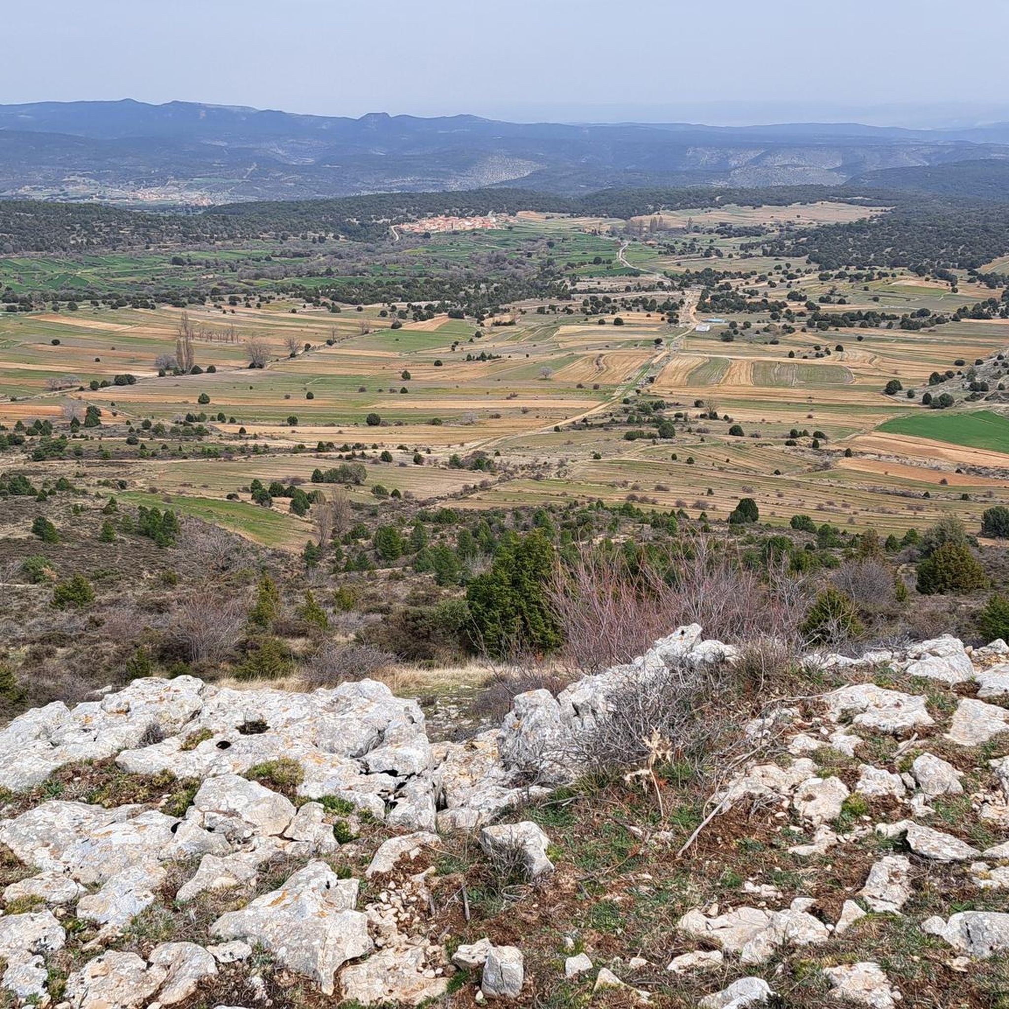
Road cycling routes in Muela De Los Tres Reinos traverse a region characterized by diverse and captivating landscapes, featuring rural roads with low traffic intensity. The area, part of the Rincón de Ademuz, presents a varied topography with an altitudinal range from 600 meters in the lower Turia valley to 1836 meters at Alto de las Barracas. Cyclists will encounter a mosaic of ecosystems, including juniper forests, holm oak groves, and river valleys carved by the Turia River.
Best road…
Last updated: July 12, 2026
21
riders
109km
05:23
1,470m
1,470m
Hard road ride. Very good fitness required. Some segments of this route may be unpaved and difficult to ride.
12
riders
129km
06:20
1,900m
1,900m
Hard road ride. Very good fitness required. Mostly well-paved surfaces and easy to ride.

Sign up for free
9
riders
95.8km
04:46
1,510m
1,510m
Hard road ride. Very good fitness required. Some segments of this route may be unpaved and difficult to ride.
3
riders
47.6km
02:16
700m
700m
Moderate road ride. Good fitness required. Mostly well-paved surfaces and easy to ride.
6
riders
47.1km
02:36
930m
940m
Hard road ride. Very good fitness required. Some segments of this route may be unpaved and difficult to ride.
Our route recommendations are based on thousands of hikes, rides, and runs completed by other people on komoot.
Start today with a free account
Your next adventure awaits.
Login or Signup
Popular around Muela De Los Tres Reinos

Tips from the Community

Fantastic place to relax on the MV
0
0

Beautiful place, the village, the castle, the church, everything!
0
1

The section of the A-1512 that starts in Albarracín and heads toward Noguera de Albarracín and Orihuela del Tremedal is known for its spectacular natural beauty. This route passes through gorges, dense pine and holm oak forests, and areas of outstanding scenic value such as the Tremedales de Orihuela, with unique features such as rocky rivers and peat bogs.
1
0
The official source of water is located at Fuente de García, in the Montes Universales, within the municipality of Frías de Albarracín (Teruel). It is located at an altitude of approximately 1,590 meters, surrounded by pine forests and high mountain meadows. Access is very easy and well signposted. Take the A-1704 highway, which connects Frías de Albarracín with Huélamo (Cuenca). From the highway, a paved detour of approximately 2 km takes you directly to the recreational area and the monument. There is free parking next to the monument.
10
0
Access is very easy and well signposted. Take the A-1704 highway, which connects Frías de Albarracín with Huélamo (Cuenca). From the highway, a paved detour of approximately 2 km takes you directly to the recreational area and the monument. There is free parking next to the monument.
5
0
The official source is located at Fuente de García, in the Montes Universales, within the municipality of Frías de Albarracín (Teruel). It is located at an altitude of approximately 1,590 meters, surrounded by pine forests and high mountain meadows.
5
0

It is a reference to the place where the longest river in Spain originates, stretching over 1,000 km and flowing into neighboring Portugal. These statues symbolize this point in the Albarracín mountain range.
8
0

Perfectly natural in a beautiful location.
4
0
Frequently Asked Questions
How many road cycling routes are available in Muela De Los Tres Reinos?
Muela De Los Tres Reinos offers a selection of road cycling routes, with four distinct tours currently available on komoot. These routes cater to various skill levels, ranging from moderate to difficult.
What is the best time of year for road cycling in Muela De Los Tres Reinos?
The recommended season for road cycling in Muela De Los Tres Reinos spans from March to December. This period generally offers favorable conditions to enjoy the region's diverse landscapes, avoiding the coldest winter months.
What kind of terrain and difficulty can I expect on road cycling routes in Muela De Los Tres Reinos?
Road cycling in Muela De Los Tres Reinos is characterized by varied topography, including rural roads with low traffic intensity, river valleys, and areas with juniper and holm oak forests. The routes generally present a moderate to difficult challenge, featuring significant elevation gains. For example, the El Cubillo Pass – Forest House Refuge loop from Salvacañete is a difficult route with over 1,800 meters of elevation gain.
Are there any beginner-friendly road cycling routes in Muela De Los Tres Reinos?
While many routes in the region are classified as difficult, there is a moderate option available. The 4G Coverage Point – Alobras loop from Alobras is a moderate 47.5 km route with around 696 meters of elevation gain, offering a less strenuous experience compared to the more challenging tours.
What natural features and landscapes will I encounter on the road cycling routes?
You will cycle through a mosaic of ecosystems, including juniper forests, holm oak groves, and river valleys carved by the Turia River. The region is part of the Rincón de Ademuz, known for its ecological diversity and significant altitudinal range. Specific natural highlights include the Barranco del Charcal and the riverbanks of the Turia and Ebrón.
Are there any notable landmarks or viewpoints along the road cycling routes?
Yes, the region offers several points of interest. A significant landmark is the Cruz de los Tres Reinos (Cross of the Three Kingdoms), which marks the convergence of three autonomous communities and provinces. While not directly on every route, the general area provides access to charming villages like Castielfabib, with its castle ruins and ancient Iberian vestiges, and La Puebla de San Miguel, home to a natural park with ancient juniper trees.
Are there circular road cycling routes available in Muela De Los Tres Reinos?
Yes, all the road cycling routes listed for Muela De Los Tres Reinos are designed as loops. Examples include the challenging The Staircase of Teruel – Calicanto Waterfall loop from Alobras and the moderate 4G Coverage Point – Alobras loop from Alobras, allowing you to start and finish in the same location.
What are some of the charming villages I can explore near the cycling routes?
The region is dotted with charming villages that offer a glimpse into traditional life. Castielfabib is a picturesque stone village with historical heritage, while Ademuz is known for its traditional 'barracas' and apple orchards. Other villages like Torrebaja and Vallanca also feature historic mills, wash houses, and chapels, providing cultural stops during your cycling adventure.
Are there any specific attractions or natural wonders to look out for?
Beyond the general landscapes, you might encounter unique spots like the Fuente de la Plata, known for its springs emerging from limestone formations. The Calicanto Waterfall – Castielfabib loop from Tormón route specifically highlights the Calicanto Waterfall, offering a natural point of interest.
What is the climate like in Muela De Los Tres Reinos, and how does it affect cycling?
Muela De Los Tres Reinos experiences a continental climate, meaning cold winters and dry, hot summers. While cycling is recommended from March to December, be prepared for potentially warm conditions during peak summer months and cooler temperatures in spring and autumn, especially at higher altitudes like Alto de las Barracas.
Are there options for longer, more challenging road cycling tours?
Absolutely. For experienced riders seeking a significant challenge, routes like the El Cubillo Pass – Forest House Refuge loop from Salvacañete cover over 128 km with nearly 1,900 meters of ascent. Another demanding option is the The Staircase of Teruel – Calicanto Waterfall loop from Alobras, which spans over 109 km with extensive climbs.
Most popular routes in Muela De Los Tres Reinos

Get inspired with the komoot mobile app


Explore more
Browse the best Road cycling routes in other regions.
