The best road cycling routes in San Gil
5.0
(13)
184
riders
8
rides
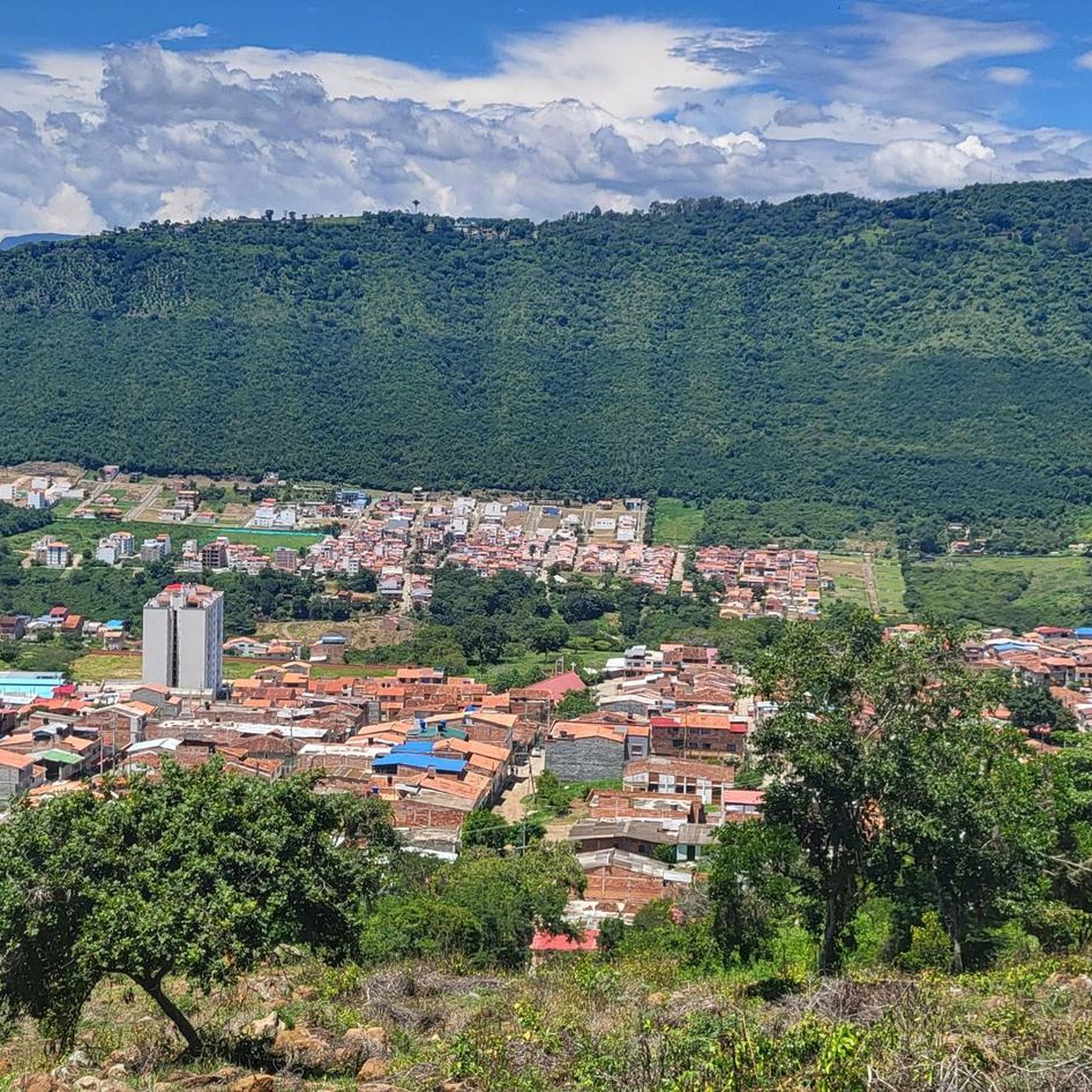
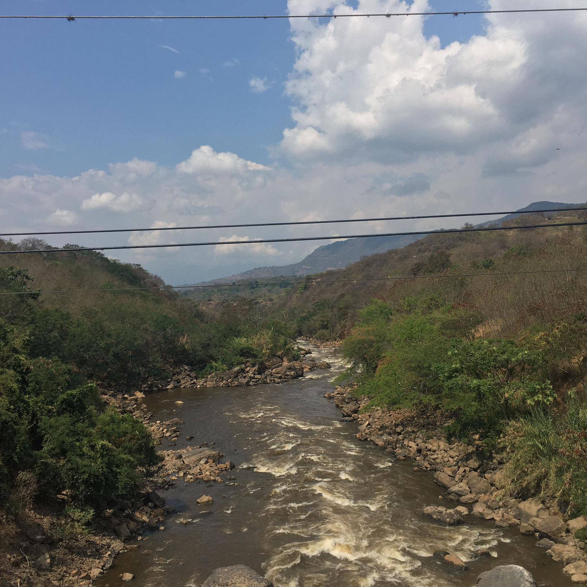
Road cycling in San Gil, Colombia, offers diverse terrain set against a backdrop of lush green landscapes and impressive canyons. The region is characterized by significant elevation changes, with routes often traversing mountainous areas and following the courses of rivers like the Fonce and Suárez. Cyclists can expect a variety of challenges, from substantial climbs to scenic descents, providing panoramic vistas of natural features such as the Chicamocha Canyon. This geographical diversity makes San Gil a notable destination for road cycling enthusiasts.
Best road cycling routes in San Gil
- The most popular road cycling route is View of Barichara – Barichara Cathedral loop from San Gil, a 28.5 miles (45.9 km) trail that takes 2 hours 33 minutes to complete. This route offers significant elevation gain and connects to the picturesque colonial town of Barichara.
- Another top favourite among local road cyclists is View of the Suárez River loop from San Gil, a difficult 31.9 miles (51.4 km) path. This route provides views of the Suárez River and features varied terrain with notable climbs and descents.
- Local road cyclists also love the Casona La Guanentina loop from Curití, a 49.9 miles (80.4 km) trail leading through mountainous terrain with significant climbing, often completed in about 4 hours 35 minutes.
- Road cycling in San Gil is defined by mountainous terrain, river valleys, and connections to charming villages like Barichara. The network offers options for easy, moderate, and difficult routes, catering to various ability levels.
- The routes in San Gil are highly rated by the komoot community with an average score of 5.0 stars from over 10 reviews. More than 200 road cyclists have used komoot to explore San Gil's varied terrain.
Last updated: June 26, 2026
5.0
(6)
70
riders
57.2km
03:29
1,270m
1,270m
Hard road ride. Very good fitness required. Some segments of this route may be unpaved and difficult to ride.
5.0
(5)
66
riders
45.9km
02:33
960m
960m
Hard road ride. Very good fitness required. Mostly well-paved surfaces and easy to ride.

Sign up for free
5.0
(1)
10
riders
80.7km
04:37
1,560m
1,570m
Hard road ride. Very good fitness required. Some segments of this route may be unpaved and difficult to ride.
7
riders
22.6km
01:20
460m
460m
Moderate road ride. Good fitness required. Some segments of this route may be unpaved and difficult to ride.
8
riders
13.0km
00:46
280m
280m
Easy road ride. Great for any fitness level. Mostly well-paved surfaces and easy to ride.
Get access to more routes and recommendations from other explorers.
Sign up for free
Already have an account?
Our route recommendations are based on thousands of hikes, rides, and runs completed by other people on komoot.
Start today with a free account
Your next adventure awaits.
Login or Signup
Popular around San Gil
Tips from the Community

The fountain is located in the middle of the main park, which is considered the heart of the city. The park is a popular place for relaxation, offers plenty of shade thanks to tall trees, and is lined with stone benches. It is designed in a colonial style and blends into the cityscape, which is known for its well-preserved colonial-era buildings and cobblestone streets.
0
0
The Camino Real is a historic hiking trail that connects the colonial village of Barichara with the smaller village of Guane in the Colombian department of Santander. The one-way distance is approximately 5.5 to 6 km. For the trek from Barichara to Guane, hikers typically take 1.5 to 2.5 hours. The hike is considered easy, as it leads almost exclusively downhill. The path consists of uneven, historic cobblestones that can be slippery when wet.
0
0

At this point the Camino Real begins between Barichara and Guane; here you will find information signs and trail rules.
1
0
The Church of the Immaculate Conception in Barichara is one of the most recognizable symbols of this picturesque town in Santander. Built in 1838 with locally sourced stone, its façade changes color with the daylight, from golden yellow to reddish ochre. Inside, the main altar, covered in gold leaf, and its elegant arched columns are particularly noteworthy. Located across from the main square, it's an ideal starting point for exploring the colonial atmosphere that characterizes Barichara.
1
0

There are cafes and food stalls
0
1

Beautiful church, at the edge of the plaza. Great place to hang out with lots of options to eat & drink nearby.
1
1
Frequently Asked Questions
What kind of terrain can I expect on road cycling routes in San Gil?
San Gil's road cycling routes are characterized by diverse terrain, ranging from significant elevation changes in mountainous areas to flatter sections along river valleys like the Río Fonce and Río Suárez. You'll encounter both challenging climbs and scenic descents, often rewarding you with panoramic views of natural features such as the Chicamocha Canyon.
Are there road cycling routes suitable for beginners in San Gil?
Yes, San Gil offers routes for various skill levels. For beginners or those looking for an easier ride, consider options like the View of Barichara – Barichara Cathedral loop from Barichara. This route is rated as easy, covering about 13 km with moderate elevation gain, making it a good introduction to the region's cycling.
Which routes offer the most challenging climbs and significant elevation gain?
For experienced cyclists seeking a challenge, San Gil delivers with routes featuring substantial elevation gain. The Casona La Guanentina loop from Curití is a difficult 80 km route with over 1,500 meters of ascent. Other difficult options include the View of Barichara – Barichara Cathedral loop from San Gil and the View of the Suárez River loop from San Gil, both offering significant climbs and descents.
What natural landmarks or viewpoints can I see along the road cycling routes?
Many routes in San Gil offer stunning natural landmarks and viewpoints. You can expect breathtaking vistas of the Chicamocha Canyon, one of the largest canyons in the world. Routes often follow the Río Fonce and Río Suárez, providing scenic river views. While not directly on a cycling route, the Juan Curi Waterfall is a captivating natural oasis nearby, and El Gallineral Natural Park is a unique urban park with hanging moss trees.
Are there any road cycling routes that pass through picturesque towns or villages?
Absolutely. San Gil's routes often connect to charming villages. The View of Barichara – Barichara Cathedral loop from San Gil, for instance, takes you to Barichara, often called Colombia's most beautiful village, known for its cobbled streets and traditional architecture. This allows you to combine your ride with cultural exploration.
What is the best time of year to go road cycling in San Gil?
San Gil generally offers good cycling conditions year-round due to its tropical climate. However, it's always wise to check local weather forecasts, especially regarding the rainy season, which can affect road conditions. The region's mountainous terrain means you should be prepared for varying temperatures and potential afternoon showers.
Are there any loop routes available for road cycling in San Gil?
Yes, many of the road cycling routes in San Gil are designed as loops, allowing you to start and end in the same location. Examples include the View of Barichara – Barichara Cathedral loop from San Gil, the View of the Suárez River loop from San Gil, and the Parque Natural El Gallineral – Casona La Guanentina loop from Curití, providing convenient options for your ride.
How many road cycling routes are available in the San Gil area?
There are several road cycling routes available in the San Gil area, with komoot featuring 9 distinct routes. These routes cater to various difficulty levels, including easy, moderate, and difficult options, ensuring there's a ride for almost every cyclist.
What do other road cyclists enjoy most about the routes in San Gil?
The road cycling routes in San Gil are highly rated by the komoot community, with an average score of 5.0 stars from over 18 reviews. Cyclists often praise the diverse terrain, the stunning panoramic vistas of the Chicamocha Canyon, and the opportunity to connect with charming villages like Barichara. The variety of challenges, from substantial climbs to scenic descents, is also a frequently highlighted aspect.
Are there any moderate difficulty road cycling routes in San Gil?
Yes, for those looking for a balanced challenge, there are moderate difficulty routes. An excellent option is the Parque Natural El Gallineral – Casona La Guanentina loop from Curití. This route covers about 51 km with over 670 meters of elevation gain, offering a good workout without being overly strenuous, and takes you past interesting natural features.
Can I find long-distance road cycling routes in San Gil?
San Gil offers several longer-distance road cycling routes for those looking to spend more time in the saddle. The Casona La Guanentina loop from Curití is a substantial 80 km ride, typically taking over 4.5 hours to complete, making it ideal for a full day's adventure. Other routes like the View of the Suárez River loop from San Gil also offer significant distances at over 51 km.
Most popular routes in San Gil

Get inspired with the komoot mobile app


Explore more
Browse the best Road cycling routes in other regions.
