The best cycling routes in Nocaima
4.7
(10)
185
riders
15
rides
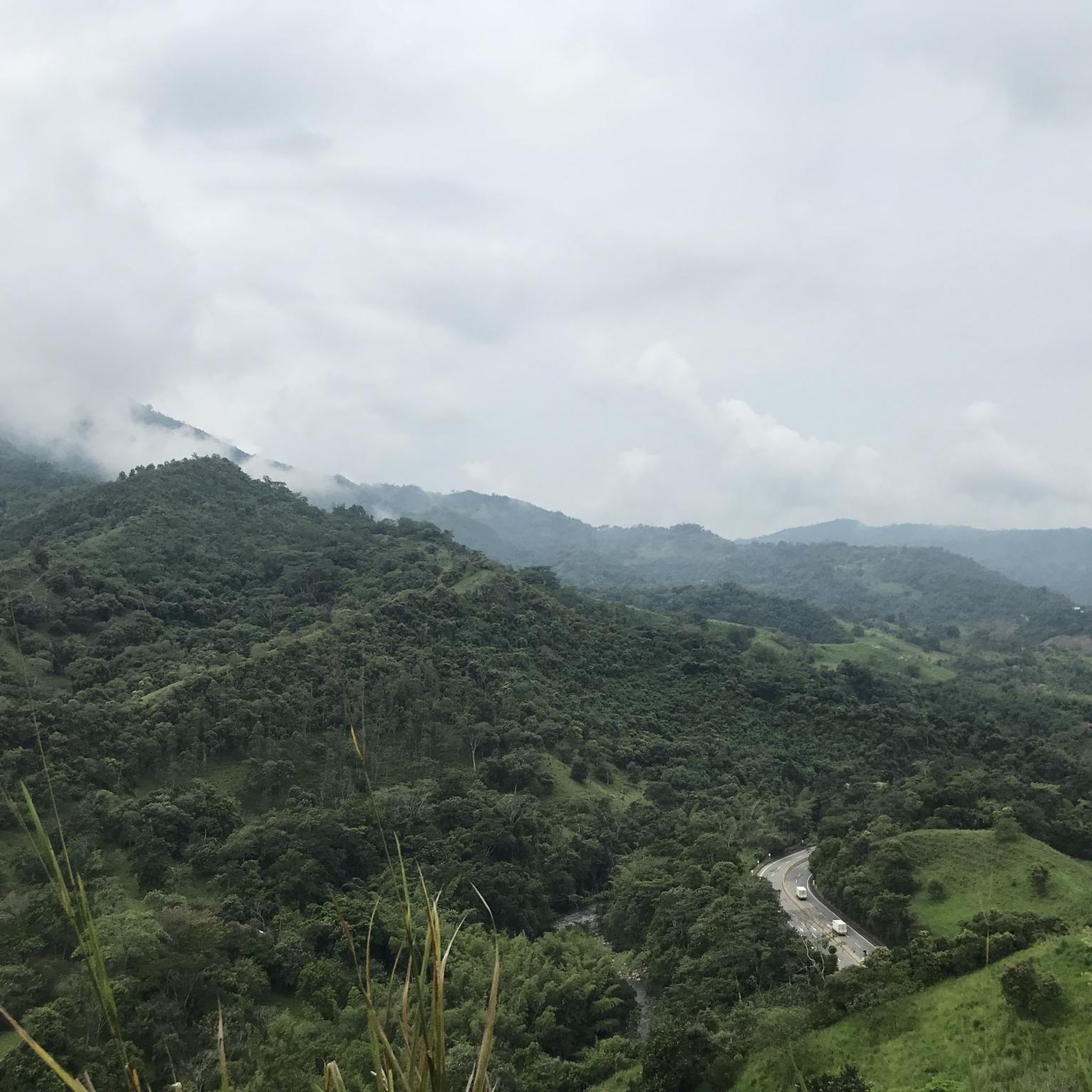
Touring cycling in Nocaima is characterized by varied terrain, featuring significant elevation changes and rural roads. The region's landscape includes numerous hills and valleys, providing a challenging environment for cyclists. These routes often traverse open countryside, offering views of the surrounding natural features. The area's topography makes for demanding rides, with sustained climbs and descents.
Best touring cycling routes in Nocaima
- The most popular touring cycling route is La Vega Off-Road Climb Start loop from Villeta, a 36.1 miles…
Last updated: July 2, 2026
3.7
(3)
42
riders
58.1km
04:08
1,210m
1,210m
Hard bike ride. Very good fitness required. Mostly paved surfaces. Suitable for all skill levels.
5.0
(1)
33
riders
103km
07:54
2,700m
2,700m
Hard bike ride. Very good fitness required. Mostly paved surfaces. Suitable for all skill levels.

Sign up for free
5.0
(4)
23
riders
42.7km
03:31
1,130m
1,130m
Hard bike ride. Very good fitness required. Mostly paved surfaces. Suitable for all skill levels.
5.0
(1)
13
riders
77.7km
06:05
2,190m
2,190m
Hard bike ride. Very good fitness required. Mostly paved surfaces. Suitable for all skill levels.
10
riders
15.9km
01:20
530m
530m
Hard bike ride. Very good fitness required. Mostly paved surfaces. Suitable for all skill levels.
Get access to more routes and recommendations from other explorers.
Sign up for free
Already have an account?
Our route recommendations are based on thousands of hikes, rides, and runs completed by other people on komoot.
Start today with a free account
Your next adventure awaits.
Login or Signup
Popular around Nocaima
Tips from the Community

A safe place to train!!!
0
0

In this hotel restaurant you will find good food, good portions, good service and affordable prices.
0
0

here begins the uncovered ascent that can take it to the scale
1
0


Good training, also for a walk, in La Vega start with a good roscón resobo, and take to eat at the top. Safe route, good berm, many fellow cyclists of all levels, so as not to feel alone.
0
0

from there up it gets very hard but the view is worth everything
0
0

Frequently Asked Questions
Are there any easy touring cycling routes in Nocaima suitable for beginners or families?
Nocaima's touring cycling routes are characterized by challenging terrain with significant elevation changes. All 16 routes in the region are graded as 'difficult', making them best suited for experienced touring cyclists rather than beginners or families looking for easy rides.
What is the typical length and duration of touring cycling routes in Nocaima?
The routes in Nocaima vary considerably. For instance, the Bike loop from La Vega is approximately 15.9 km (9.9 miles) and takes about 1 hour 20 minutes. In contrast, the demanding San Francisco to El Vino Road – Alto del Vino Rest Stop loop from Varios Restaurantes covers 103.2 km (64.1 miles) and can take over 7 hours to complete.
What kind of terrain can I expect on Nocaima's touring cycling routes?
Nocaima's landscape features numerous hills and valleys, resulting in varied terrain with sustained climbs and descents. Routes often traverse open countryside and rural roads, providing a challenging environment for cyclists.
Are the touring cycling routes in Nocaima typically circular?
Yes, many of the touring cycling routes in Nocaima are designed as loops, allowing you to start and finish at the same point. Examples include the popular La Vega Off-Road Climb Start loop from Villeta and the Quebrada Reyes loop from San Jose.
What is the best time of year for touring cycling in Nocaima?
Nocaima generally experiences a tropical climate. The dry season, typically from December to March and July to August, offers more favorable conditions with less rain, making it ideal for touring cycling. However, always check local weather forecasts before heading out.
What do other touring cyclists enjoy most about cycling in Nocaima?
The touring cycling routes in Nocaima are highly rated by the komoot community, with an average score of 4.7 stars from over 10 reviews. Cyclists often praise the challenging climbs, the scenic rural roads, and the sense of accomplishment after tackling the significant elevation gains.
Are there any specific viewpoints or cafes along the touring cycling routes in Nocaima?
While specific cafes and viewpoints are not detailed for every route, the challenging nature of Nocaima's routes often leads to rewarding vistas from higher elevations. The San Francisco to El Vino Road – Alto del Vino Rest Stop loop from Varios Restaurantes, for example, suggests rest stops that might offer opportunities for refreshments and views.
What should I wear for touring cycling in Nocaima, especially during warmer months?
Given Nocaima's tropical climate and significant elevation changes, it's advisable to wear moisture-wicking, breathable cycling apparel. Layers are recommended for varying temperatures, especially during climbs and descents. Sun protection, including sunscreen and sunglasses, is also essential.
Are there any hidden gem touring cycling routes in Nocaima that are less frequented?
While all routes offer a challenging experience, the Cerro De Palacio – Alto de la Tribuna loop from Villeta is a substantial 79.9 km (49.6 miles) route with over 2300 meters of elevation gain, offering a deep dive into the region's hilly countryside for those seeking a less crowded, yet equally demanding, adventure.
What are the parking and access options for touring cycling trails in Nocaima?
Access to Nocaima's touring cycling routes typically involves starting from towns like Villeta or La Vega, which may offer public parking facilities. It's recommended to check specific starting points for each route, such as the La Vega Off-Road Climb Start loop from Villeta, for the most convenient access points.
Can I expect to see any wildlife while touring cycling in Nocaima?
Cycling through Nocaima's rural roads and open countryside provides opportunities to observe local flora and fauna. While specific wildlife sightings cannot be guaranteed, the natural environment of the region may offer glimpses of various bird species and other small animals native to the area.
Most popular routes in Nocaima

Get inspired with the komoot mobile app


Explore more
Browse the best Cycling routes in other regions.
