The best running trails in Cómbita
5.0
(15)
119
runners
10
runs
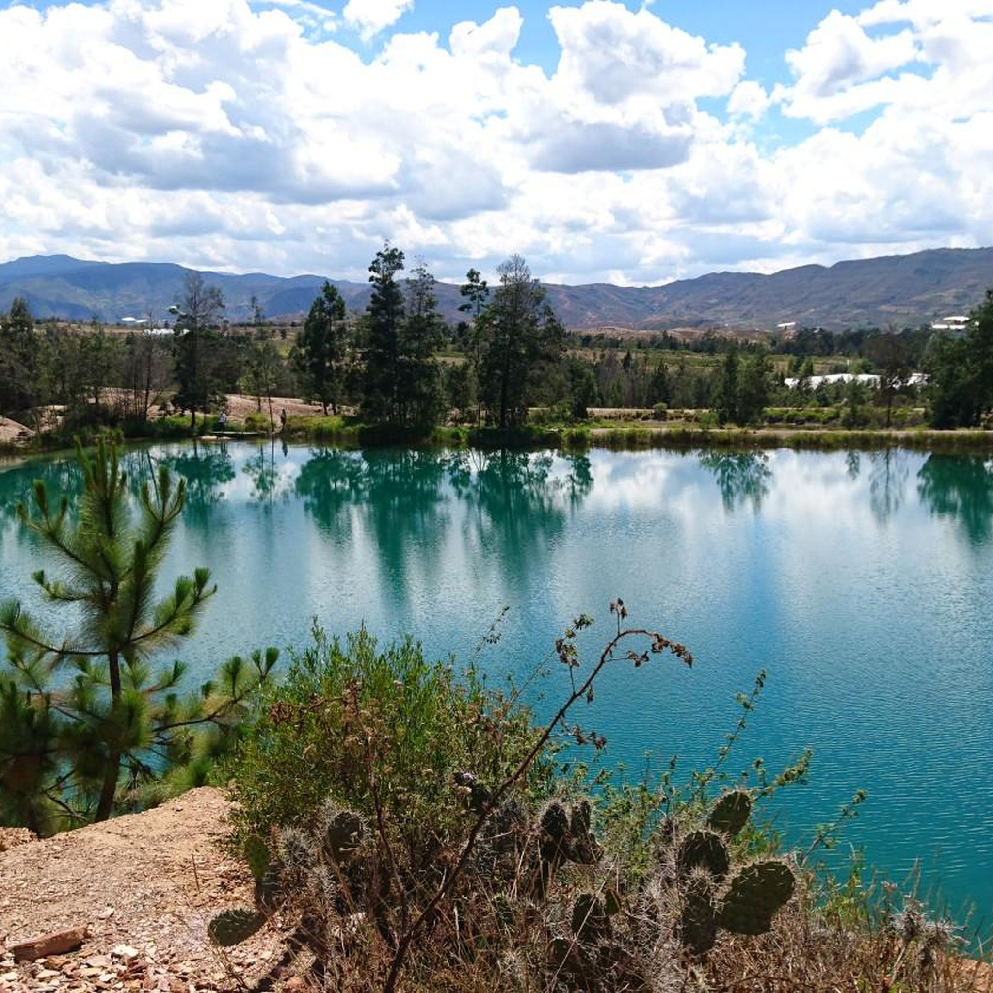
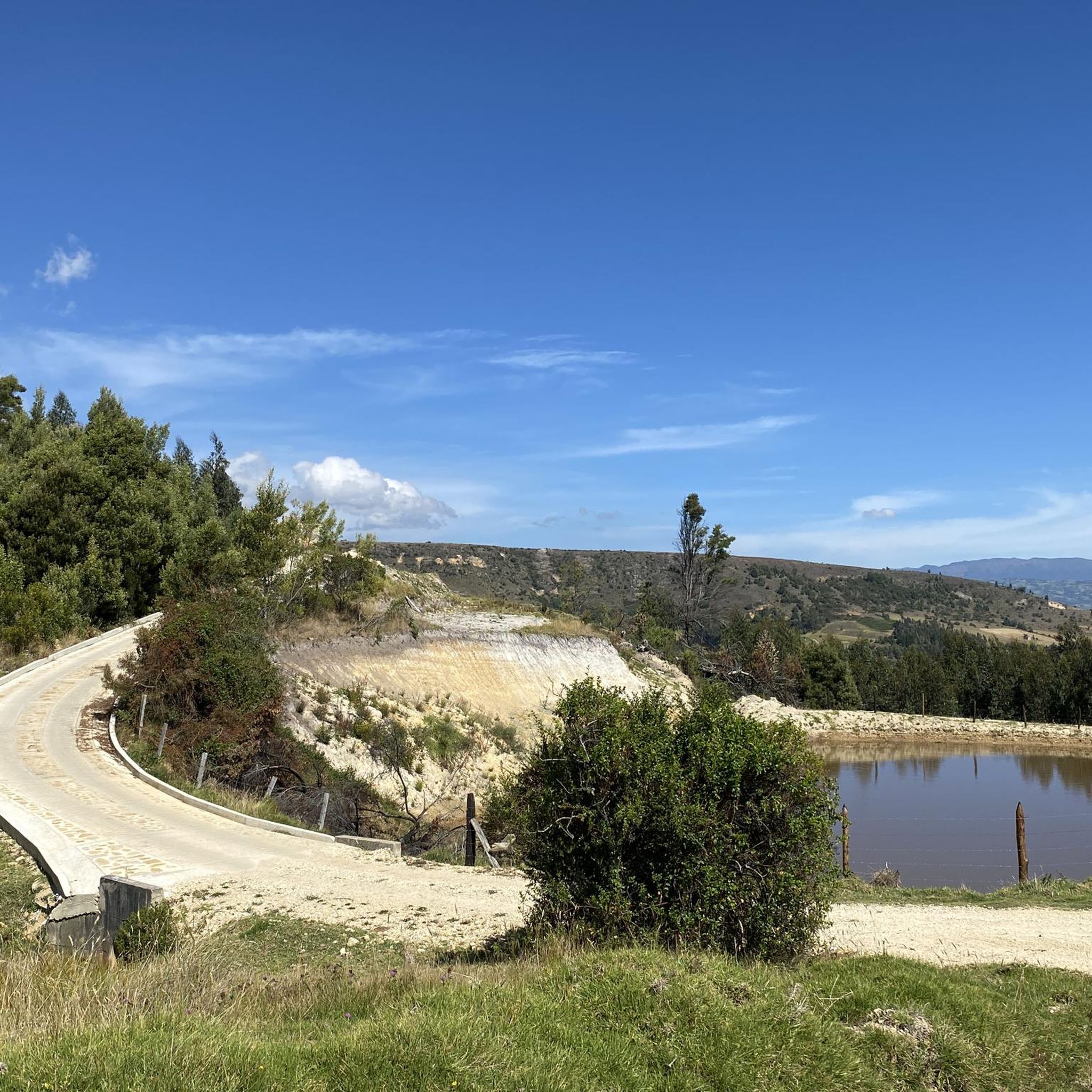
Jogging routes in Cómbita offer a chance to explore the serene rural landscapes of Boyacá, Colombia. The region is characterized by numerous rivers and streams, such as the Río de Piedras, which create natural corridors for running. Crystal-clear lagoons and humid forests contribute to a rich ecological environment, providing scenic backdrops for outdoor exercise. The area features abundant rural trails and paths, many without significant difficulty, leading to natural viewpoints and tranquil settings ideal for running.
Best jogging routes in Cómbita
- The most popular jogging route is Running loop from Tunja, a 12.6 miles (20.3 km) trail that takes 2 hours 22 minutes to complete. This difficult route offers a significant challenge for experienced runners.
- Another top favourite among local runners is Paved Pathway loop from Tunja, a moderate 9.0 miles (14.5 km) path. This route features paved sections, providing a consistent surface for running through the local landscape.
- Local runners also love the Running loop from Sotaquirá, a 3.8 miles (6.1 km) trail leading through varied terrain with over 270 meters of elevation gain, often completed in about 50 minutes.
- Jogging in Cómbita is defined by rural trails, natural viewpoints, and paths alongside rivers and streams. The network offers options for moderate to difficult ability levels, catering to a range of running preferences.
- The routes in Cómbita are highly rated by the komoot community with an average score of 5.0 stars from over 15 reviews. More than 100 runners have used komoot to explore Cómbita's varied terrain.
Last updated: June 26, 2026
5.0
(3)
24
runners
14.4km
01:30
120m
120m
Moderate run. Good fitness required. Mostly paved surfaces. Suitable for all skill levels.
11
runners
5.76km
00:36
20m
20m
Moderate run. Good fitness required. Mostly paved surfaces. Suitable for all skill levels.

Sign up for free
7
runners
6.07km
00:50
270m
260m
Moderate run. Good fitness required. Mostly paved surfaces. Suitable for all skill levels.
5
runners
19.6km
02:18
330m
330m
Hard run. Very good fitness required. Mostly paved surfaces. Suitable for all skill levels.
4
runners
6.41km
00:41
80m
80m
Moderate run. Good fitness required. Mostly paved surfaces. Suitable for all skill levels.
Get access to more routes and recommendations from other explorers.
Sign up for free
Already have an account?
Our route recommendations are based on thousands of hikes, rides, and runs completed by other people on komoot.
Start today with a free account
Your next adventure awaits.
Login or Signup


Frequently Asked Questions
How many running routes are available in Cómbita?
Cómbita offers a selection of 10 running routes, catering to various preferences and fitness levels. These routes are highly rated by the komoot community, with an average score of 5.0 stars.
What kind of terrain can I expect on the running trails in Cómbita?
The running trails in Cómbita primarily feature serene rural landscapes, with many paths alongside rivers and streams like the Río de Piedras. You'll find a mix of rural trails without major difficulty, some paved sections, and routes with varying elevation gains, offering a natural and tranquil environment for your run.
What makes Cómbita an ideal location for outdoor running?
Cómbita stands out for its consistently cool climate, serene rural landscapes, and abundant natural features. The municipality is rich in rivers, streams, and crystal-clear lagoons, providing scenic backdrops and tranquil environments perfect for jogging away from urban crowds.
Are there any easy or beginner-friendly running routes in Cómbita?
While most routes in Cómbita are rated moderate, there are options that offer less significant elevation changes, making them suitable for those seeking a less strenuous run. For example, the Running loop from Urbanización Las Quintas is a moderate 5.7 km route with minimal elevation gain.
Can I find longer distance running trails in the area?
Yes, for runners looking for a longer challenge, the Running loop from Tunja is a difficult 20.3 km trail that takes approximately 2 hours and 22 minutes to complete, offering a significant workout with over 330 meters of elevation gain.
Are there any running routes that offer scenic viewpoints or natural landmarks?
Many of Cómbita's rural trails lead to natural viewpoints, offering silent environments and picturesque scenery. The region's crystal-clear lagoons and humid forests also provide beautiful backdrops. For those interested in unique natural features, paths can lead towards the Cueva del Diablo or Cueva del Chulo, though these might involve longer, more exploratory jogs.
What is the best time of year to go jogging in Cómbita?
Cómbita, situated at an elevation of 2825 meters, enjoys a consistently cool climate throughout the year. This makes it an excellent destination for physical activity like jogging at any time, as you can avoid extreme heat often found at lower altitudes.
Are there any circular running routes available?
Yes, several routes in Cómbita are designed as loops, allowing you to start and finish in the same location. Examples include the Paved Pathway loop from Tunja, the Running loop from Sotaquirá, and the Running loop from La Colorada, providing convenient options for your run.
Are the running trails in Cómbita suitable for families?
The region features many rural trails described as 'senderos rurales sin mayor dificultad' (rural trails without major difficulty), which can be suitable for families looking for easy walks or light jogs. The serene environment and natural beauty make it a pleasant experience for all ages, though specific routes should be chosen based on the family's fitness level.
What do other runners enjoy most about jogging in Cómbita?
The komoot community highly rates the running experience in Cómbita, with an average score of 5.0 stars from over 15 reviews. Runners frequently praise the tranquil environment, the natural beauty of the rural landscapes, and the variety of paths alongside rivers and streams that define the region's charm.
Is public transport available to access the running routes in Cómbita?
Cómbita's proximity to Tunja (about 20 minutes away) makes it accessible. While specific public transport details to individual trailheads are not provided, local transport options from Tunja to Cómbita town center would be the primary way to reach the general area, from which many rural paths can be explored.
Are there any paved sections on the running routes?
Yes, for those who prefer a consistent surface, the Paved Pathway loop from Tunja is a moderate 14.5 km route that features paved sections, providing a smooth running experience through the local landscape.

Get inspired with the komoot mobile app


Explore more
Browse the best Running Trails & Routes in other regions.
