The best walks and hikes in Fredonia
4.6
(17)
87
hikers
5
hikes
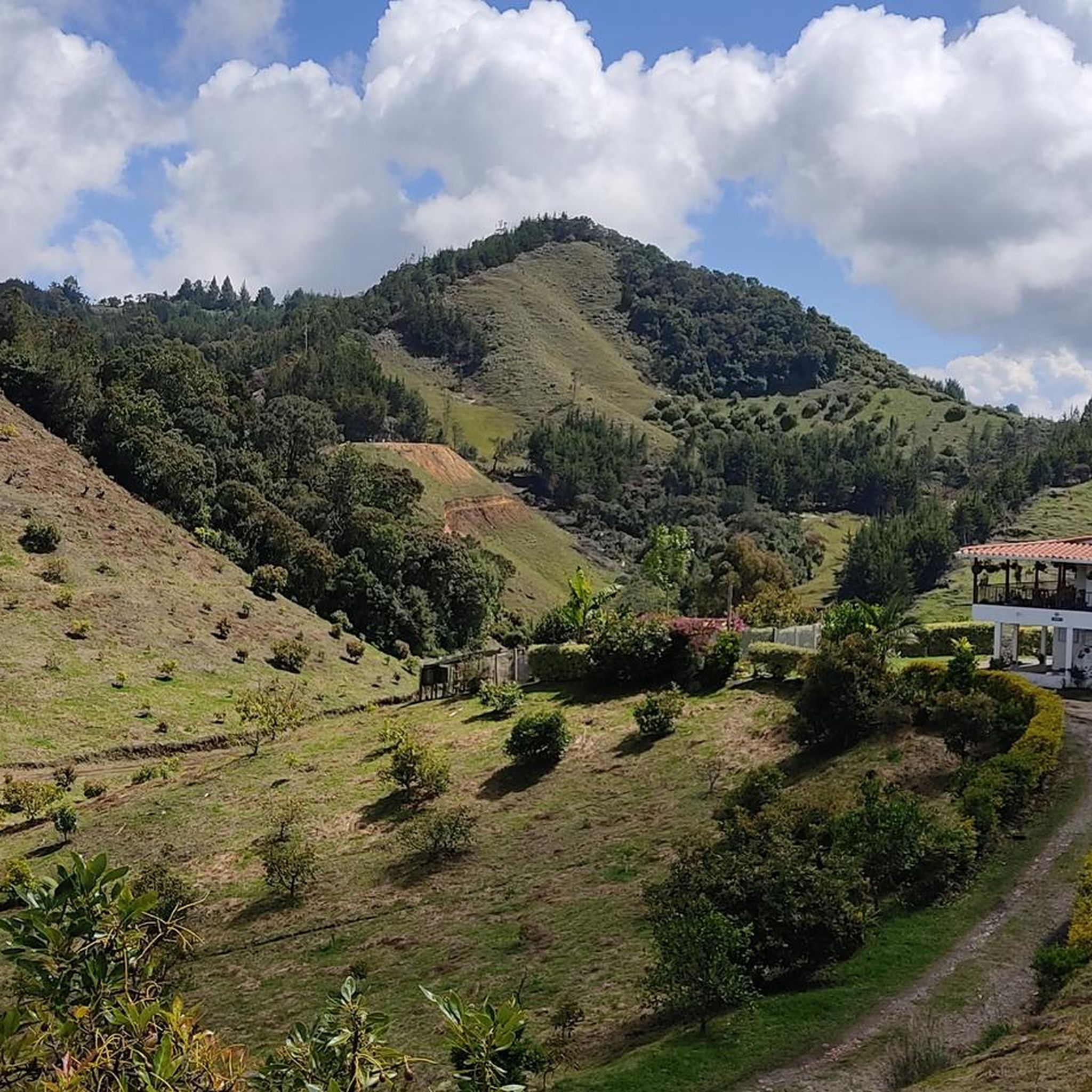
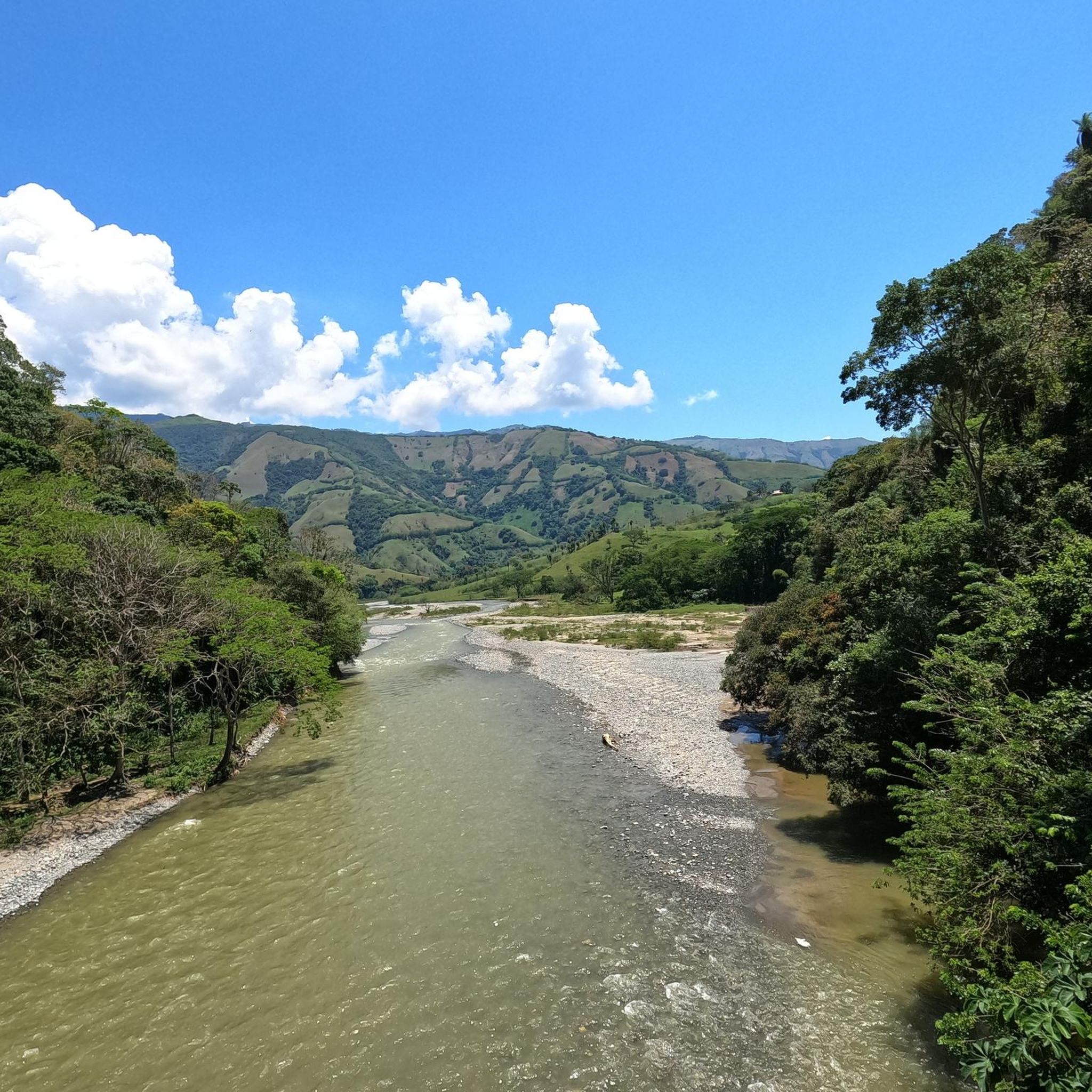
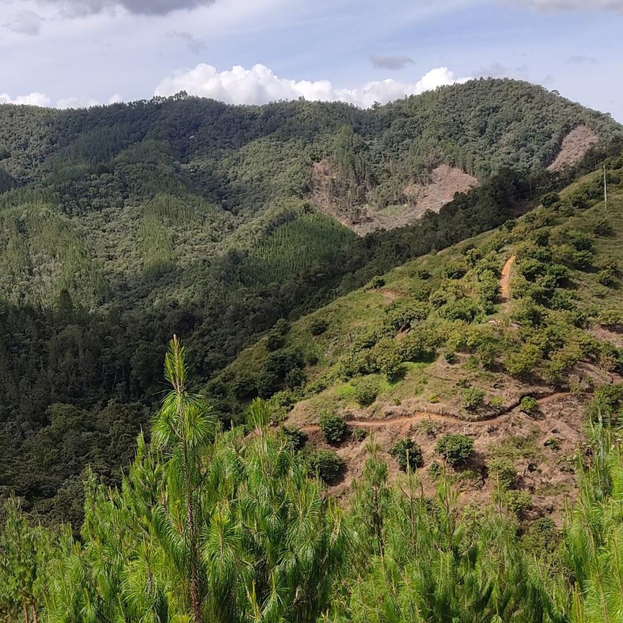
Hiking in Fredonia offers routes through the mountainous terrain of Antioquia, Colombia. The region is characterized by undulating hills, including the distinctive Cerro Tusa, and lush coffee-growing landscapes. Trails often provide panoramic views of the surrounding valleys and traditional towns.
Best hiking trails in Fredonia
- The most popular hiking route is View of Cerro Tusa – Viewpoint loop from Jericó, a 7.8 miles (12.6 km) trail that takes 4 hours 16 minutes to complete. This moderate route features significant…
Last updated: July 2, 2026
4.1
(7)
34
hikers
4.62km
01:47
310m
310m
Moderate hike. Good fitness required. Easily-accessible paths. Suitable for all skill levels.
4.7
(3)
12
hikers
12.6km
04:16
630m
630m
Moderate hike. Good fitness required. Easily-accessible paths. Suitable for all skill levels.

Sign up for free
5.0
(1)
17
hikers
7.79km
02:31
340m
330m
Moderate hike. Good fitness required. Easily-accessible paths. Suitable for all skill levels.
5.0
(3)
17
hikers
6.27km
02:15
360m
360m
Moderate hike. Good fitness required. Easily-accessible paths. Suitable for all skill levels.
4.3
(3)
7
hikers
10.5km
03:09
330m
330m
Moderate hike. Good fitness required. Easily-accessible paths. Suitable for all skill levels.
Our route recommendations are based on thousands of hikes, rides, and runs completed by other people on komoot.
Start today with a free account
Your next adventure awaits.
Login or Signup
Popular around Fredonia
Tips from the Community

Magnificent viewpoint
0
0

Magnificent views of the Rio Cauca valley
0
0
Frequently Asked Questions
What kind of terrain can I expect when hiking in Fredonia?
Hiking in Fredonia, Colombia, primarily involves mountainous terrain with undulating hills. You'll find paths through lush coffee-growing landscapes and routes that lead to prominent viewpoints, offering panoramic views of the surrounding valleys and traditional towns.
Are there any easy hiking trails in Fredonia?
The hiking routes listed for Fredonia are generally considered of moderate difficulty. While there are no trails specifically categorized as 'easy' in the guide, the network offers options for different ability levels within the moderate range, featuring varying distances and elevation gains.
What are the most notable natural features or landmarks to see while hiking in Fredonia?
A prominent natural feature in Fredonia is the distinctive Cerro Tusa, often visible from various trails. Many routes also offer panoramic views of the region's coffee plantations and traditional towns like Jericó and Jardín. One trail specifically leads to the Cristo Redentor de Jericó, a significant viewpoint.
Are there any circular hiking routes in Fredonia?
Yes, several routes in Fredonia are designed as loops. For instance, you can explore the View of Cerro Tusa – Viewpoint loop from Jericó, the View of Cerro Tusa – View of Jardín loop from Jericó, and the Cristo Redentor de Jericó loop from Jericó.
How long do hikes near Fredonia typically take?
The duration of hikes in Fredonia varies depending on the route. For example, the View of Cerro Tusa – Viewpoint loop from Jericó typically takes around 4 hours and 16 minutes, while the Cristo Redentor de Jericó loop from Jericó can be completed in about 3 hours and 8 minutes.
What do other hikers enjoy most about hiking in Fredonia?
The hiking experience in Fredonia is highly rated by the komoot community, with an average score of 4.5 stars from over 15 reviews. Hikers often praise the mountainous paths, the scenic coffee landscapes, and the prominent viewpoints that offer breathtaking panoramic views.
What is the typical elevation gain on Fredonia's hiking trails?
The elevation gain on Fredonia's trails can be significant, reflecting the mountainous terrain. For example, the View of Cerro Tusa – Viewpoint loop from Jericó involves an elevation gain of over 620 meters, while other routes like the View of Cerro Tusa – View of Jardín loop from Jericó have around 340 meters of ascent.
Are there any trails that offer views of the town of Jardín?
Yes, the View of Cerro Tusa – View of Jardín loop from Jericó is a moderate 7.8 km path that specifically offers scenic vistas of the region's coffee plantations and the distant town of Jardín.
How many hiking routes are available in Fredonia?
There are 5 hiking routes available in Fredonia, all of which are categorized as moderate difficulty, offering diverse experiences through the region's mountainous and coffee-growing landscapes.
Is Fredonia a popular destination for hikers?
Yes, Fredonia is gaining popularity among hikers. Over 70 hikers have used komoot to explore Fredonia's varied terrain, and the routes are highly rated by the community, indicating a positive and engaging hiking experience.
What kind of landscapes will I see on the trails around Fredonia?
You will encounter diverse landscapes including lush coffee-growing areas, undulating hills, and mountainous paths. Many trails lead to viewpoints offering expansive panoramic views of the valleys and traditional towns in the Antioquia region of Colombia.
Most popular routes in Fredonia

Get inspired with the komoot mobile app


Explore more
Browse the best Hikes in other regions.
