The best road cycling routes in Acajete
4.8
(4)
77
riders
4
rides
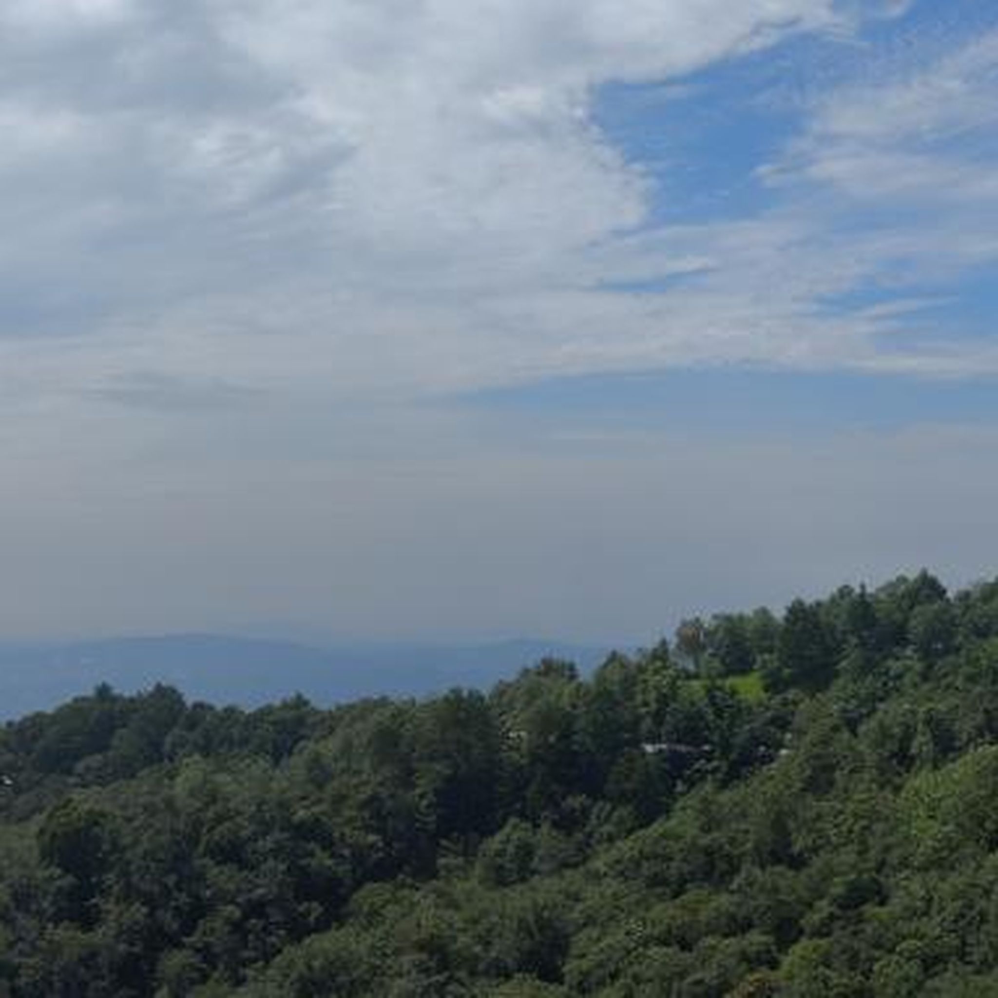
Road cycling in Acajete, Puebla, is characterized by its diverse volcanic landscapes and significant elevation changes. The region features a unique topography shaped by its volcanic origins, including prominent features like Volcán El Pinal. Cyclists can expect routes that offer both demanding climbs and rewarding descents, often providing expansive views of surrounding volcanoes. High-altitude riding is common, with elevations frequently ranging between 8,000 to 9,000 feet.
Best road cycling routes in Acajete
- The most popular road cycling route is Libramiento…
Last updated: July 8, 2026
22
riders
Moderate road ride. Good fitness required. Mostly well-paved surfaces and easy to ride.
4.0
(1)
6
riders
Moderate road ride. Good fitness required. Mostly well-paved surfaces and easy to ride.

Sign up for free
5.0
(1)
8
riders
93.1km
05:06
1,770m
1,770m
Hard road ride. Very good fitness required. Mostly well-paved surfaces and easy to ride.
3
riders
19.8km
01:19
370m
370m
Moderate road ride. Good fitness required. Some segments of this route may be unpaved and difficult to ride.
3
riders
41.8km
02:10
690m
690m
Moderate road ride. Good fitness required. Some segments of this route may be unpaved and difficult to ride.
2
riders
31.9km
01:41
500m
510m
Moderate road ride. Good fitness required. Mostly well-paved surfaces and easy to ride.
5
riders
Moderate road ride. Good fitness required. Mostly well-paved surfaces and easy to ride.
Our route recommendations are based on thousands of hikes, rides, and runs completed by other people on komoot.
Start today with a free account
Your next adventure awaits.
Login or Signup
Popular around Acajete



Tips from the Community

It is a steep section and the road is in poor condition, proceed with caution.
0
0
Frequently Asked Questions
What kind of terrain can I expect on road cycling routes in Acajete?
Acajete offers a unique road cycling experience characterized by its diverse volcanic landscapes. You'll encounter routes with significant elevation changes, providing both demanding climbs and rewarding descents. The region's topography, shaped by volcanoes like La Malinche and El Pinal, ensures varied scenery and often expansive views of surrounding peaks.
How challenging are the road cycling routes in Acajete?
The routes in Acajete are generally considered moderate to difficult, largely due to the high altitude, often ranging between 8,000 to 9,000 feet. This thin air makes ascents more demanding. For instance, the Cerro Juárez – Cerro Colorado loop from Reserva Estatal Predio Barragán is a challenging route with over 1,700 meters of elevation gain.
Are there any longer road cycling routes for an extended ride in Acajete?
Yes, for a substantial ride, consider the Cerro Juárez – Cerro Colorado loop from Reserva Estatal Predio Barragán. This route spans nearly 93 kilometers and involves significant elevation, making it ideal for experienced cyclists looking for a longer challenge.
Are there any shorter road cycling routes for a quicker ride in Acajete?
For a quicker ride, the Roadbike loop from Clúster Científico y Tecnológico BioMimic is a good option. It's approximately 19.8 kilometers long and is rated as moderate, offering a balanced ride without requiring a full day commitment.
What natural features or viewpoints can I see while road cycling in Acajete?
Road cycling in Acajete offers stunning vistas of prominent volcanoes like Popocatépetl, Iztaccíhuatl, and Pico de Orizaba. The routes often pass near or offer views of the inactive El Pinal volcano, known for its natural landscapes and viewpoints, and the slopes of La Malinche. You'll experience a mix of pine and oak forests, especially at lower elevations.
Are there circular road cycling routes available in Acajete?
Yes, many of the road cycling routes in Acajete are designed as loops, allowing you to start and finish at the same point. Examples include the popular Libramiento de Coatepec – Stone Bench in Urban Park loop from Reserva Estatal Predio Barragán and the Stone Bench in Urban Park loop from Zona Universitaria.
What do other road cyclists enjoy most about road cycling in Acajete?
The komoot community highly rates road cycling in Acajete, with an average score of 4.75 stars. Cyclists often praise the challenging high-altitude climbs, the rewarding descents, and the expansive views of the surrounding volcanic peaks. The diverse terrain and the opportunity to explore unique natural landscapes are frequently highlighted.
What are the typical elevations I'll encounter on road cycling routes in Acajete?
Road cycling in Acajete is characterized by high elevations, with routes often ranging between 8,000 to 9,000 feet above sea level. This high altitude contributes to the challenging nature of the rides and provides breathtaking panoramic views.
Are there any road cycling routes that pass by lakes or water features in Acajete?
Yes, you can explore routes that include water features. The Laguna Casa Blanca loop from Reserva Estatal Predio Barragán is a moderate route that takes you past Laguna Casa Blanca, offering a scenic change of pace during your ride.
Where can I park my car to start a road cycling route in Acajete?
Many routes conveniently start from locations like Reserva Estatal Predio Barragán, Zona Universitaria, or Clúster Científico y Tecnológico BioMimic. These are common starting points for cyclists in the area, suggesting parking facilities are available nearby.
Are there any road cycling routes suitable for families in Acajete?
While many routes feature significant elevation, some moderate loops might be suitable for families with older, experienced children. The Roadbike loop from Clúster Científico y Tecnológico BioMimic is a shorter, moderate option that could be considered, but always assess the elevation and distance to match your family's fitness level.
What is the best time of year for road cycling in Acajete?
Given the high altitude and volcanic terrain, the best time for road cycling in Acajete is typically during the dry season to avoid heavy rains and ensure clearer roads. However, the region's climate can vary, so checking local weather forecasts before your ride is always recommended.
Most popular routes in Acajete

Get inspired with the komoot mobile app


Explore more
Browse the best Road cycling routes in other regions.
