The best gravel rides in Fuente De La Cruz
3.7
(5)
67
riders
14
rides
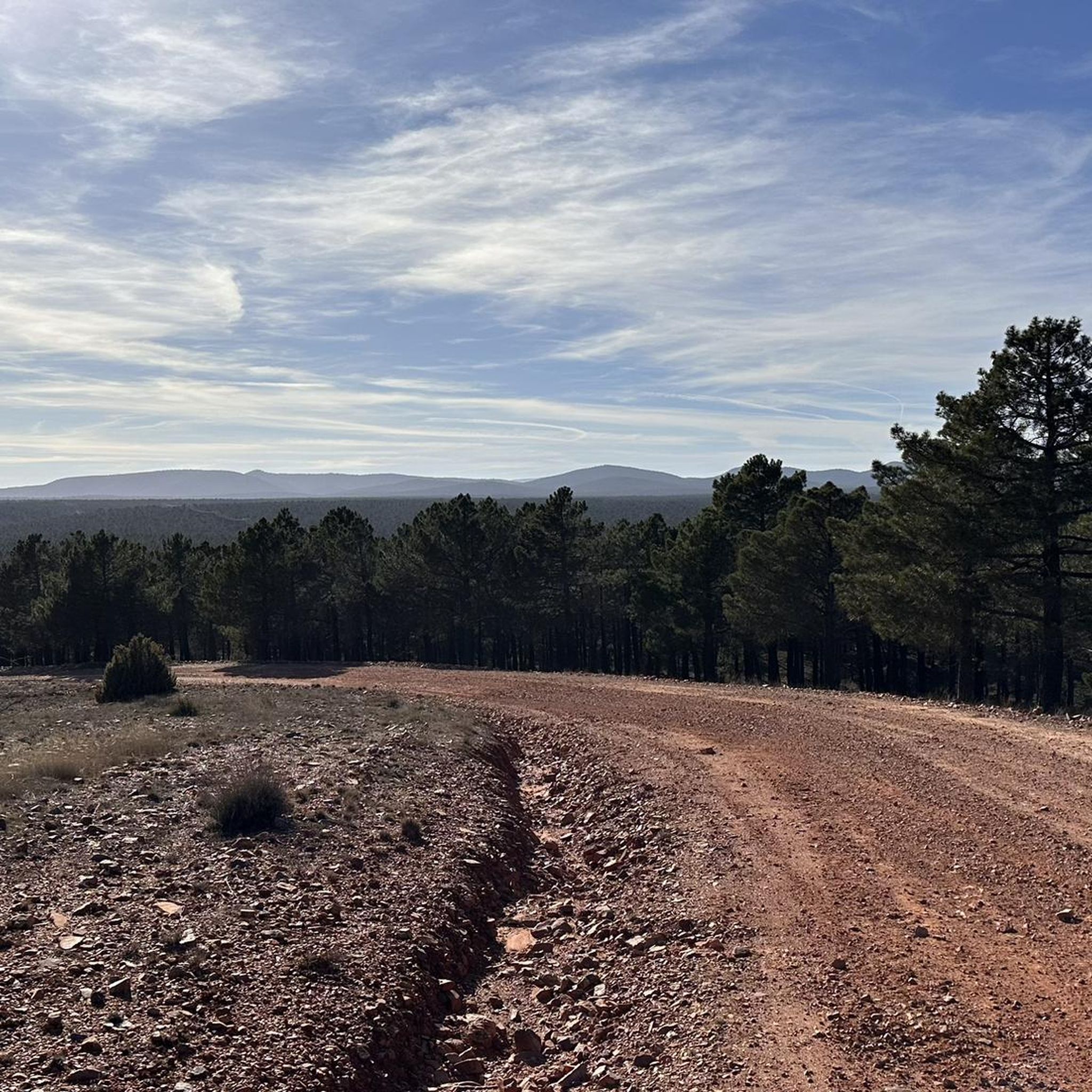
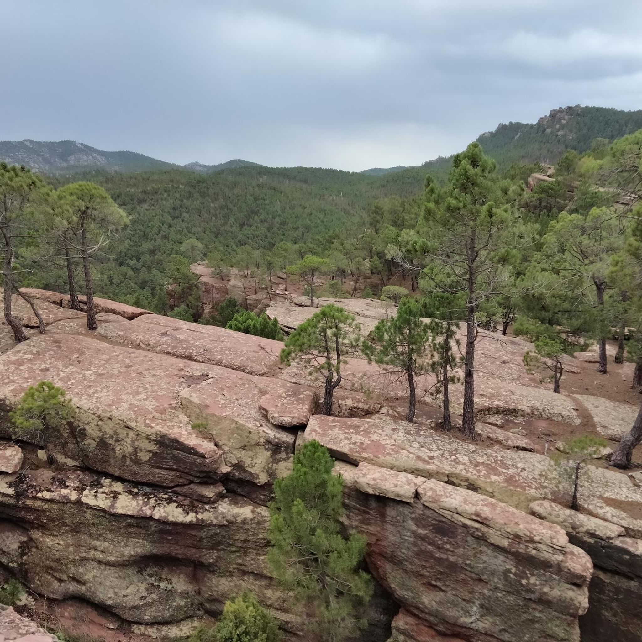
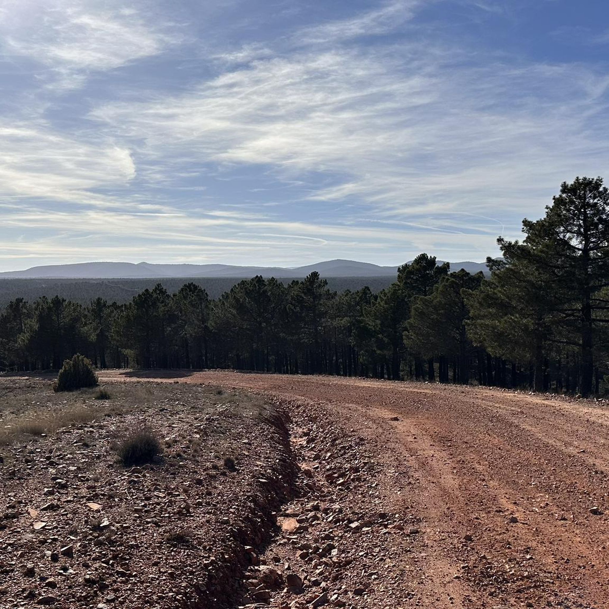
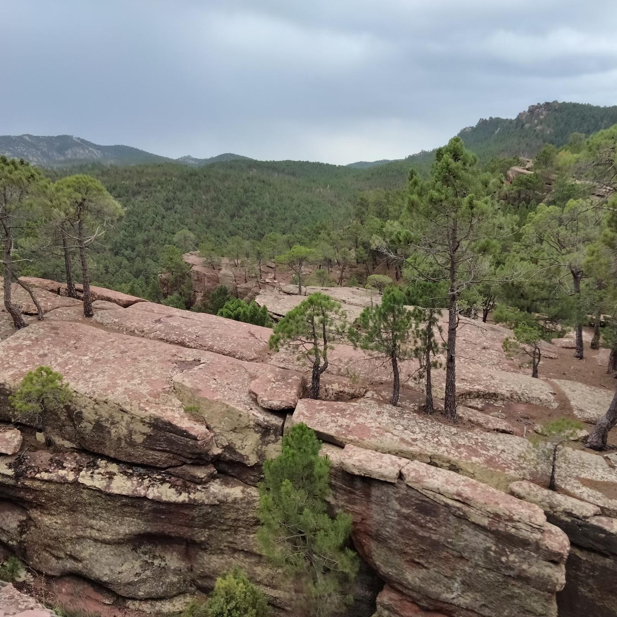
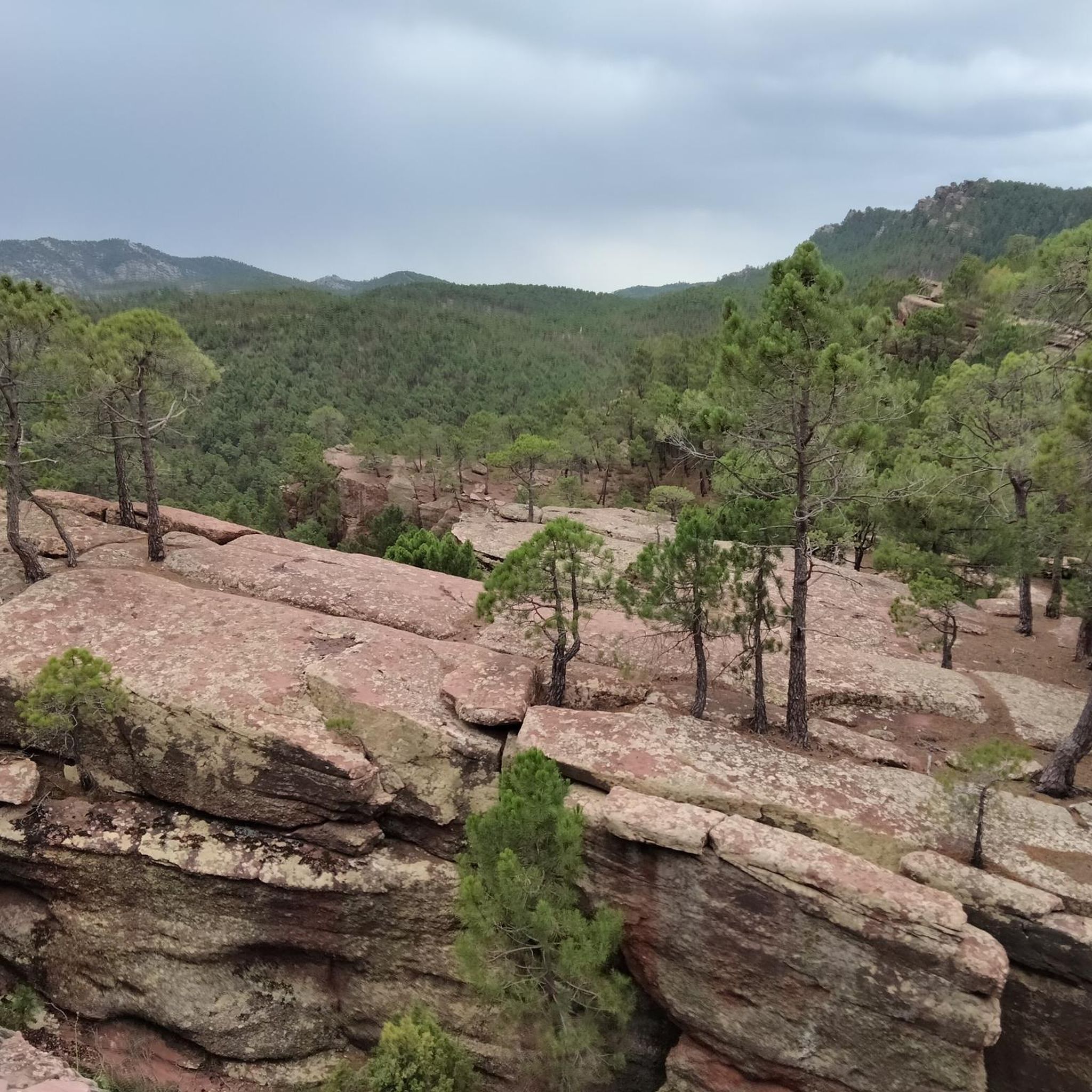
Gravel bike trails in Fuente De La Cruz are situated within the Sierra de Albarracín, a region characterized by its mountainous terrain and diverse landscapes. The area features a network of unpaved roads and tracks, offering varied elevation profiles suitable for gravel biking. Riders can expect routes that traverse through forested areas and open country, providing a mix of surfaces.
Best gravel bike trails in Fuente De La Cruz
- The most popular gravel bike trail is Albarracín – Teruel loop…
Last updated: July 8, 2026
8
riders
87.7km
05:19
1,030m
1,030m
Hard gravel ride. Very good fitness required. Mostly paved surfaces. Suitable for all skill levels.
6
riders
30.7km
02:06
420m
420m
Moderate gravel ride. Good fitness required. Mostly paved surfaces. Suitable for all skill levels.

Sign up for free
8
riders
30.7km
02:17
600m
600m
Hard gravel ride. Very good fitness required. Mostly paved surfaces. Suitable for all skill levels.
3.5
(2)
6
riders
28.6km
02:17
540m
540m
Hard gravel ride. Very good fitness required. Mostly paved surfaces. Suitable for all skill levels.
22
riders
126km
09:51
2,080m
2,080m
Hard gravel ride. Very good fitness required. Mostly paved surfaces. Suitable for all skill levels.
Get access to more routes and recommendations from other explorers.
Sign up for free
Already have an account?
Our route recommendations are based on thousands of hikes, rides, and runs completed by other people on komoot.
Start today with a free account
Your next adventure awaits.
Login or Signup

Other adventures in Fuente De La Cruz

Tips from the Community

Al.barracín, a spectacular old "pink" village with 1050 inhabitants, is located at an altitude of 1182 m, with beautiful views of the Río Guadalaviar. The village is located in the province of Teruel (southern Aragón), 37 km northwest of Teruel, the city of Mudéjar architecture. It is surrounded by an impressive landscape of mountain massifs of the Sierra de Albarracín.
9
0
The Molina Gate consists of two massive square towers and a semicircular arch with carved stone keystones. Once through the gate, the defensive system of the city wall becomes visible, with towers and wall sections running stepwise along its length. The two streets leading to the Plaza Mayor,
11
0
Beautiful asphalt road with a beautiful rock face towards a short gorge, with occasional possible stops
10
0

Everything about this place is beautiful
0
0
Viewpoint for the church offers a great view over the valley
0
0

The Cathedral of El Salvador is located in the center of Albarracín, a city known for its challenging terrain, perched on a hill surrounded by the Guadalaviar River gorge. The bell tower is not only a functional element for housing the bells, but also a key component in the cathedral's aesthetics and silhouette.
4
0

A very scenic mountain road with stunning sandstone cliffs along the route. Hardly any traffic, beautiful views – cycling here is simply a pleasure!
0
0
The view here is particularly expansive. A truly magnificent panorama.
0
0
Frequently Asked Questions
How many gravel bike trails are available in Fuente De La Cruz?
There are over 10 gravel bike trails in Fuente De La Cruz, all located within the Sierra de Albarracín. These routes offer varied elevation profiles and traverse through forested areas and open country.
What is the typical difficulty level for gravel biking in Fuente De La Cruz?
Gravel biking in Fuente De La Cruz is primarily suited for advanced riders. All 12 available routes are classified as difficult, featuring challenging climbs and diverse unpaved roads through the Sierra de Albarracín.
Are there any circular gravel bike routes in Fuente De La Cruz?
Yes, many of the gravel bike routes in Fuente De La Cruz are loops. For example, you can explore the Albarracín – Teruel loop from Bezas, which is a challenging 54-mile ride, or the shorter Albarracín – Main Square loop from Albarracín.
What kind of landscapes can I expect to see while gravel biking in Fuente De La Cruz?
The routes in Fuente De La Cruz take you through the mountainous terrain of the Sierra de Albarracín, offering a mix of forested areas and open country. You'll encounter diverse unpaved roads and scenic vistas, particularly from viewpoints like the Cabrerizo Viewpoint.
What do other gravel bikers say about the trails in Fuente De La Cruz?
The gravel biking routes in Fuente De La Cruz are highly rated by the komoot community, with an average score of 2.0 stars from over 2 reviews. More than 29 gravel bikers have used komoot to explore the varied and challenging terrain of the Sierra de Albarracín.
Are there any scenic viewpoints along the gravel bike trails?
Yes, several routes offer access to impressive viewpoints. The Carretera del Canto – Cabrerizo Viewpoint loop from Albarracín specifically leads to the Cabrerizo Viewpoint, providing expansive vistas of the surrounding landscape. Another notable spot is the Alto de la Cruz (Peña Botadera) Lookout.
What are some nearby attractions or points of interest to explore after a ride?
Beyond the trails, you can explore historical sites like the Shelter of the Archer of the Enclosed Ravines or the Prado del Navazo Bulls Rock Shelter. There's also the serene Balsa del Pinar, a lake perfect for relaxation.
Are there any routes that pass through Albarracín?
Many routes either start from or pass through Albarracín. The Albarracín – Main Square loop from Albarracín and the Albarracín – Peñas Royas Viewpoint loop from Albarracín are good examples that explore the varied terrain around the town.
What is the longest gravel bike route available in Fuente De La Cruz?
The longest gravel bike route is the Albarracín – Teruel loop from Bezas, covering 54.0 miles (87.0 km) with significant elevation gain, typically taking over 5 hours to complete.
What kind of gear is recommended for gravel biking in Fuente De La Cruz?
Given the challenging climbs and diverse unpaved roads, a well-maintained gravel bike with appropriate gearing for steep ascents and robust tires for varied surfaces is recommended. Always carry sufficient water, snacks, and repair tools.
Are there any routes suitable for multi-day gravel tours?
While the guide focuses on individual day routes, the longer and more challenging trails, such as the Albarracín – Teruel loop from Bezas, could be incorporated into a multi-day itinerary when combined with other routes in the Sierra de Albarracín, allowing for exploration of the region's diverse landscapes.
Most popular routes in Fuente De La Cruz
Most popular attractions in Fuente De La Cruz

Get inspired with the komoot mobile app


Explore more
Browse the best Gravel rides in other regions.
