The best road cycling routes in Fountain County
56
riders
2
rides
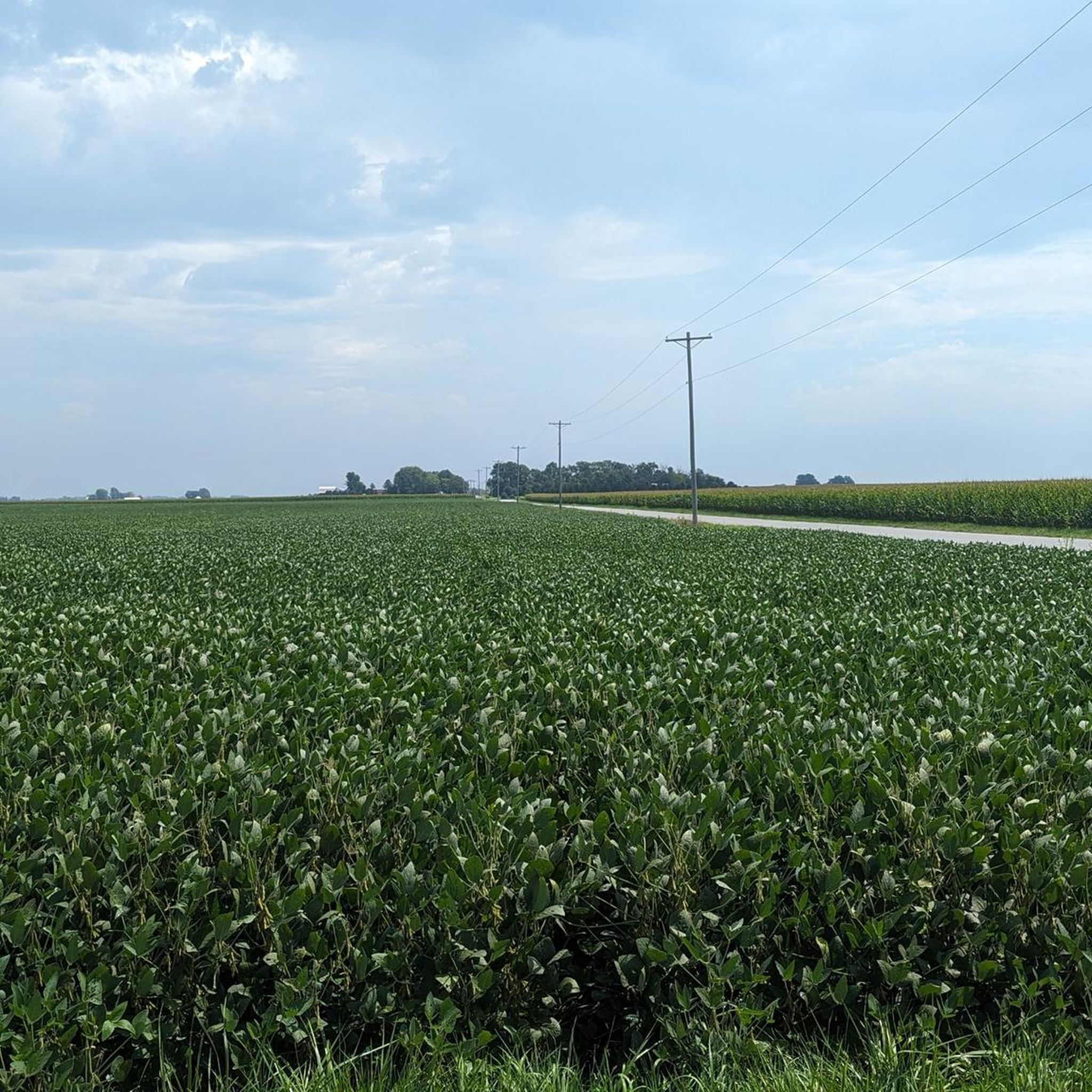
Road cycling routes in Fountain County traverse a landscape characterized by a mix of agricultural lands, river valleys, and forested areas. The terrain generally features rolling hills with moderate elevation changes, making it suitable for various road cycling abilities. The region's natural features, such as the Cattail Trail and areas like Martell Forest, offer diverse scenery for cyclists. These routes provide opportunities to experience the rural Indiana landscape.
Best road cycling routes in Fountain County
- The most popular road cycling route is Celery Bog – Cattail Trail loop from Samara, a 41.9 miles (67.5 km) trail that takes 3 hours 7 minutes to complete. This route features a mix of open roads and sections near natural areas.
- Another top favourite among local road cyclists is Cattail Trail loop from Lafayette, a moderate 32.4 miles (52.2 km) path. This route offers views of the surrounding countryside and takes approximately 2 hours 16 minutes.
- Local road cyclists also love the Cattail Trail loop from Martell Forest, a 19.7 miles (31.7 km) trail leading through wooded areas and open landscapes, often completed in about 1 hour 24 minutes.
- Road cycling in Fountain County is defined by its rural roads, forested sections, and gentle rolling terrain. The network offers options for different ability levels, from easy loops to more moderate distances.
- The guide includes highly-rated routes that showcase the best of the region's landscape. More than 50 road cyclists have used komoot to explore Fountain County's varied terrain.
Last updated: May 21, 2026
22
riders
67.5km
03:07
310m
310m
Moderate road ride. Good fitness required. Some segments of this route may be unpaved and difficult to ride.
22
riders
49.0km
02:08
230m
230m
Moderate road ride. Good fitness required. Mostly well-paved surfaces and easy to ride.

Sign up for free
12
riders
30.6km
01:22
140m
140m
Easy road ride. Great for any fitness level. Mostly well-paved surfaces and easy to ride.
Our route recommendations are based on thousands of hikes, rides, and runs completed by other people on komoot.
Start today with a free account
Your next adventure awaits.
Login or Signup
Popular around Fountain County
Tips from the Community

At just under 5 miles in total length, the Cattail Trail is a popular paved path traveling through West Lafayette. The path is popular for biking, running, and walking, and it connects to a bunch of the other paths, trails, parks, and woods around town and around campus.
0
0
At just under 5 miles in total length, the Cattail Trail is a popular paved path traveling through West Lafayette. The path is popular for biking, running, and walking, and it connects to a bunch of the other paths, trails, parks, and woods around town and around campus.
0
0
Black Rock Nature Preserve contains sandstone barrens, bedrock, and cliffs that can be seen on a super short nature trail. This interpretive trail is well-kept with a lot to see, but it isn't really a full-on "hike."
0
0
The Black Rock Barrens Nature Preserve contains siltstone barrens along with a variety of forests. It is a small nature preserve and a lot of the spur trails on the property have become overgrown, but the main trail loop remains a wilderness getaway.
0
0
The John T. Meyers Pedestrian Bridge is a wide open bridge with picnic areas, open space, and views up and down the Wabash River. The bridge flows right into Tapawingo Park and connects both sides of the Wabash Heritage Trail.
0
0
Frequently Asked Questions
What kind of terrain can I expect when road cycling in Fountain County?
Fountain County offers a diverse landscape for road cyclists, characterized by a mix of agricultural lands, river valleys, and forested areas. The terrain generally features rolling hills with moderate elevation changes, providing a varied and engaging experience.
Are there road cycling routes suitable for beginners in Fountain County?
Yes, Fountain County has routes suitable for various abilities. For beginners, the Cattail Trail loop from Martell Forest is an excellent option. This 19.7-mile (31.7 km) trail is rated as easy and leads through wooded areas and open landscapes, typically completed in about 1 hour 24 minutes.
What are some longer road cycling routes available in Fountain County?
For those seeking longer rides, the Celery Bog – Cattail Trail loop from Samara is a popular choice, covering 41.9 miles (67.5 km) and taking around 3 hours 7 minutes. Another moderate option is the Cattail Trail loop from Lafayette, which is 32.4 miles (52.2 km) long and typically takes about 2 hours 16 minutes.
Are there any circular road bike routes in Fountain County?
Yes, many of the road cycling routes in Fountain County are designed as loops, offering convenient circular journeys. Examples include the Celery Bog – Cattail Trail loop from Samara, the Cattail Trail loop from Lafayette, and the Cattail Trail loop from Martell Forest.
What is the best season for road biking in Fountain County?
Given the region's climate, spring and fall generally offer the most pleasant conditions for road biking in Fountain County, with milder temperatures and beautiful scenery. Summer can also be enjoyable, though it's advisable to ride earlier in the morning or later in the afternoon to avoid the peak heat.
What makes the road cycling experience in Fountain County unique?
Road cycling in Fountain County is defined by its rural roads, forested sections, and gentle rolling terrain. The routes offer opportunities to experience the rural Indiana landscape, often featuring a mix of open roads and sections near natural areas like the Cattail Trail and Martell Forest.
How many road cycling routes are available in Fountain County on komoot?
Komoot features several road cycling routes in Fountain County, with this guide highlighting three of the most beautiful options. More than 50 road cyclists have used komoot to explore the varied terrain of the county.
Are there any specific natural areas or landmarks along the road cycling routes?
Many routes in Fountain County traverse or pass near significant natural features. The Cattail Trail is a prominent feature mentioned in several routes, and areas like Martell Forest offer wooded sections and open landscapes, providing diverse scenery for cyclists.
What is the difficulty level of most road cycling routes in Fountain County?
The road cycling routes in Fountain County cater to a range of abilities. While there are options for beginners, many routes are classified as moderate, featuring rolling hills and moderate elevation changes that provide a good challenge without being overly strenuous.
Can I find routes that offer scenic viewpoints in Fountain County?
The rural character of Fountain County, with its agricultural lands, river valleys, and forested areas, naturally provides numerous scenic vistas. Routes often offer views of the surrounding countryside, allowing cyclists to appreciate the natural beauty of the region.
What do other road cyclists enjoy most about road cycling in Fountain County?
Road cyclists using komoot often praise Fountain County for its varied terrain, which includes a mix of rural roads, forested sections, and gentle rolling hills. The opportunity to experience the rural Indiana landscape and the well-designed loop routes are frequently highlighted as enjoyable aspects.
Most popular routes in Fountain County

Get inspired with the komoot mobile app


Explore more
Browse the best Road cycling routes in other regions.
