Easy hikes and walks in Tafjorden-Reindalen Landskapsvernområde
4.4
(83)
409
hikers
16
hikes
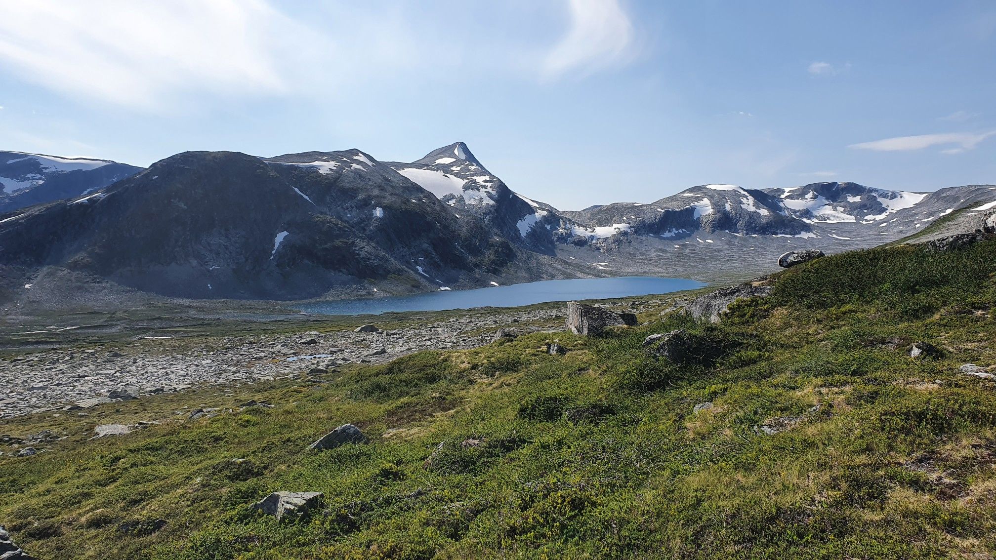
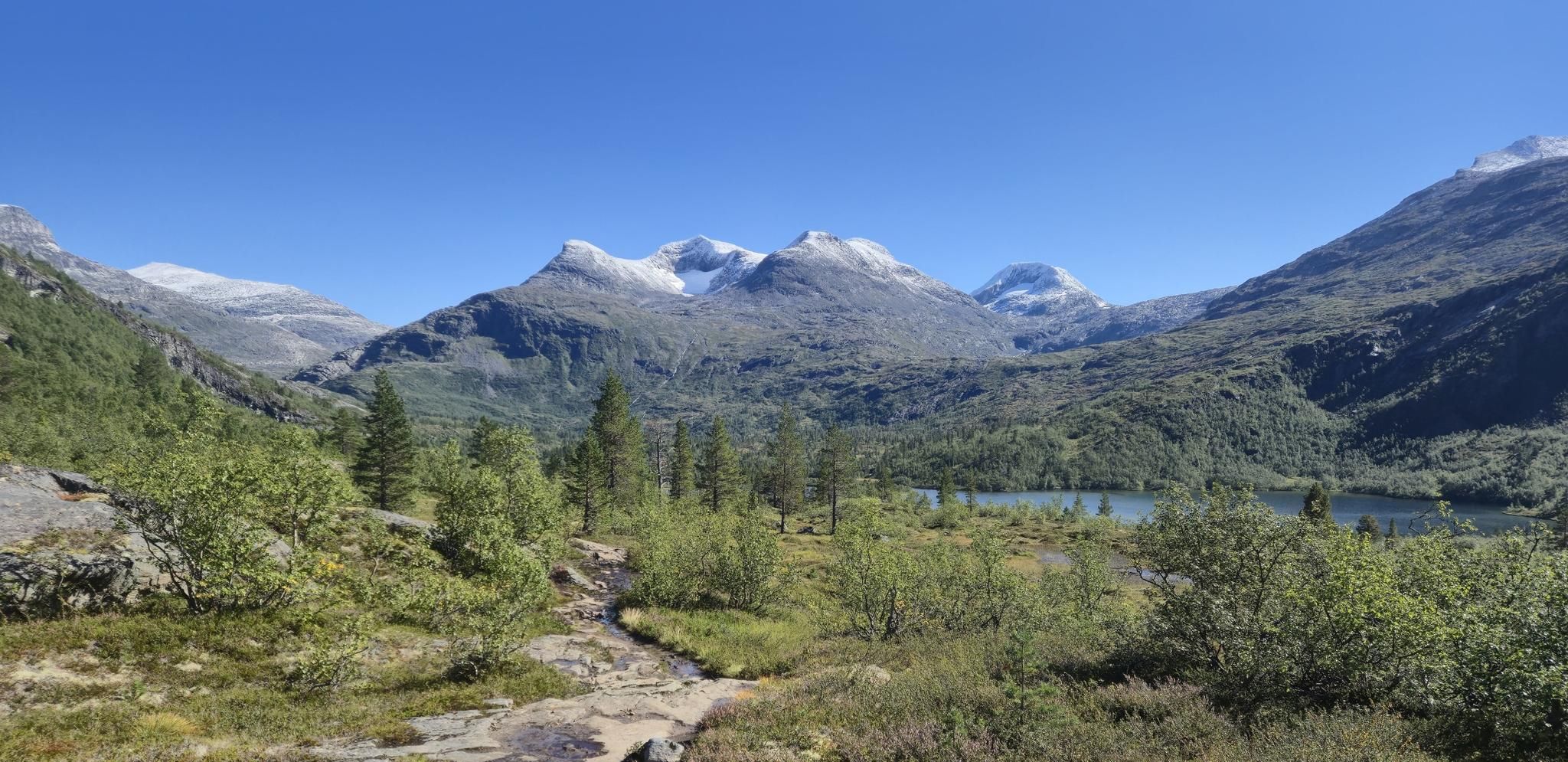
Easy hiking trails in Tafjorden-Reindalen Landskapsvernområde traverse a landscape characterized by deep, glacier-carved ravines and valleys, including the scenic glacial valley leading to Reindalseter Cabin. The region features impressive waterfalls like Reindalsfossen and Muldalsfossen, which free-falls almost 200 meters. Hikers encounter diverse flora, including pine trees and deciduous forests, and can observe unique geological formations. The area is part of Reinheimen National Park, known for its wildlife.
Best easy hiking trails in Tafjorden-Reindalen Landskapsvernområde
- The most popular easy hiking route is Juvat Viewpoint – Gudbrandsjuvet Gorge loop from Gudbrandsjuvet, a 1.5 miles (2.4 km) trail that takes 40 minutes to complete. This route offers views of the Gudbrandsjuvet Gorge.
- Another top favourite among local hikers is View of Valldalen Valley – Rugga Hut loop from Hauge, an easy 2.6 miles (4.2 km) path. This trail provides views of the Valldalen Valley and leads towards Rugga Hut.
- Local hikers also love the Valldal Fjordhotell loop from Sylte kyrkje, a 2.1 miles (3.3 km) trail leading through varied terrain with views of the fjord, often completed in about 50 minutes.
- Hiking in Tafjorden-Reindalen Landskapsvernområde is defined by dramatic fjords, glacial valleys, and majestic mountains. The network offers options for different ability levels, with 5 easy hiking trails available.
- The routes in Tafjorden-Reindalen Landskapsvernområde are highly rated by the komoot community with an average score of 4.5 stars from over 60 reviews. More than 350 hikers have used komoot to explore Tafjorden-Reindalen Landskapsvernområde's varied terrain.
Last updated: August 24, 2026
3.8
(8)
30
hikers
2.17km
00:36
40m
40m
Easy hike. Great for any fitness level. Easily-accessible paths. Suitable for all skill levels.
5.0
(7)
42
hikers
4.19km
01:28
250m
250m
Easy hike. Great for any fitness level. Easily-accessible paths. Suitable for all skill levels.
3.0
(1)
9
hikers
3.34km
00:52
20m
20m
Easy hike. Great for any fitness level. Easily-accessible paths. Suitable for all skill levels.
Get access to more routes and recommendations from other explorers.
Sign up for free
Already have an account?
Our route recommendations are based on thousands of hikes, rides, and runs completed by other people on komoot.
Start today with a free account
Your next adventure awaits.
Login or Signup
Popular around Tafjorden-Reindalen Landskapsvernområde
Other adventures in Tafjorden-Reindalen Landskapsvernområde

Tips from the Community


Very nice place. Nice view down into the gorge.
0
0


Gudbrandsjuvet is a 5 meter wide and 20-25 meter deep gorge carved by the Valldøla river. It is easily accessible on national road 63 between Valldal and Trollstigen and can be visited on secured paths and from a footbridge. The water here formed a system of deep glacial mills and bizarre formations. The gorge is about as deep below the water surface as above. (See visitnorway.de)
3
0

Very easy to reach viewing platform on the roaring river. The detour from the parking lot only takes a few minutes.
1
1

Gorge with a 20 m deep waterfall of the river Valldøla. The waterfall can be easily observed from a viewing platform.
0
0

The cinnamon buns at the café are really delicious
1
0
Frequently Asked Questions
How many easy hiking trails are available in Tafjorden-Reindalen Landskapsvernområde?
There are 5 easy hiking trails in Tafjorden-Reindalen Landskapsvernområde, offering accessible options to explore the region's stunning landscapes.
What kind of natural features can I expect to see on easy hikes?
Even on easy trails, you'll encounter dramatic fjords, glacier-carved valleys, and majestic mountains. The region is known for its diverse flora, including pine trees and deciduous forests, and unique geological formations. Keep an eye out for wildlife, as the area is part of Reinheimen National Park, home to wild reindeer, and you might spot eagles or porpoises in the fjord.
Are there any easy circular routes in Tafjorden-Reindalen Landskapsvernområde?
Yes, several easy circular routes are available. For instance, the Juvat Viewpoint – Gudbrandsjuvet Gorge loop from Gudbrandsjuvet is a popular 2.4 km trail. Another option is the View of Valldalen Valley – Rugga Hut loop from Omenåsåsen, which offers views of the Valldalen Valley.
Are the easy trails suitable for families with children?
Yes, many of the easy trails are well-suited for families. Routes like the Juvat Viewpoint – Gudbrandsjuvet Gorge loop from Gudbrandsjuvet, which is about 2.4 km and takes around 40 minutes, are ideal for shorter outings with children, offering engaging views without strenuous climbs.
What is the best time of year for easy hiking in Tafjorden-Reindalen?
The best time for easy hiking in Tafjorden-Reindalen is typically during the late spring, summer, and early autumn months (June to September). During this period, the weather is generally milder, trails are clear of snow, and the natural beauty of the fjords and valleys is at its peak.
Are there any waterfalls accessible on easy trails?
While some of the most dramatic waterfalls like Muldalsfossen require more challenging routes, the region is home to impressive waterfalls. The Juvat Viewpoint – Gudbrandsjuvet Gorge loop from Gudbrandsjuvet offers views of the Gudbrandsjuvet Gorge, which features a powerful river cascading through a narrow ravine, providing a waterfall-like experience.
What are the typical distances and durations for easy hikes in this area?
Easy hikes in Tafjorden-Reindalen Landskapsvernområde typically range from 2.4 km to 4.2 km in distance. Durations can vary from approximately 40 minutes to over an hour, depending on the specific route and your pace. For example, the Juvat Viewpoint – Gudbrandsjuvet Gorge loop from Gudbrandsjuvet is about 2.4 km and takes 40 minutes.
What do other hikers enjoy most about hiking in Tafjorden-Reindalen Landskapsvernområde?
The area is highly rated by the komoot community, with an average score of 4.5 stars from over 60 reviews. Hikers often praise the dramatic fjord views, the serene glacial valleys, and the opportunity to experience genuine Norwegian wilderness. The well-maintained paths and diverse scenery are frequently highlighted.
Are there any easy trails that offer views of the Valldalen Valley?
Yes, you can enjoy views of the Valldalen Valley on easy trails. The View of Valldalen Valley – Rugga Hut loop from Omenåsåsen and the View of Valldalen Valley – Rugga Hut loop from Hauge both provide scenic vistas of the valley.
Are there any easy routes near Valldal Fjordhotell?
Yes, there is an easy loop trail starting from Valldal. The Valldal Fjordhotell loop from Valldal is a 3.0 km route that offers a pleasant walk in the vicinity of the fjord hotel.
Is parking available near the trailheads for easy hikes?
Parking is generally available near popular trailheads in the region, such as at Gudbrandsjuvet for the gorge loop. Specific parking information for each route can often be found on the individual tour pages on komoot.
Can I bring my dog on the easy hiking trails?
While specific regulations can vary, dogs are generally welcome on hiking trails in Norway, often on a leash, especially during certain times of the year to protect wildlife. It's always best to check local signage or specific park regulations for the Tafjorden-Reindalen Landskapsvernområde or Reinheimen National Park before heading out with your dog.
Most popular routes in Tafjorden-Reindalen Landskapsvernområde
Most popular attractions in Tafjorden-Reindalen Landskapsvernområde

Get inspired with the komoot mobile app


Explore more
Browse the best Hikes in other regions.
