The best road cycling routes in Um
26
riders
6
rides
Road cycling in Um offers a diverse landscape for cyclists, characterized by varied terrain and significant elevation changes. The region features routes that traverse both river valleys and hilly areas, providing a range of experiences. Cyclists can expect paths that lead through natural settings, including areas with springs and historical ruins. The network of road cycling routes in Um caters to those seeking both moderate and challenging rides.
Best road cycling routes in Um
- The most popular road cycling route…
Last updated: August 20, 2026
2
riders
121km
05:51
1,670m
1,670m
Hard road ride. Very good fitness required. Some segments of this route may be unpaved and difficult to ride.
6
riders
34.7km
01:44
490m
490m
Moderate road ride. Good fitness required. Some segments of this route may be unpaved and difficult to ride.

Sign up for free
9
riders
122km
05:33
1,360m
1,360m
Hard road ride. Very good fitness required. Mostly well-paved surfaces and easy to ride.
5.0
(1)
8
riders
38.4km
01:40
190m
190m
Moderate road ride. Great for any fitness level. Some segments of this route may be unpaved and difficult to ride.
4
riders
60.3km
02:59
940m
940m
Hard road ride. Very good fitness required. Mostly well-paved surfaces and easy to ride.
Our route recommendations are based on thousands of hikes, rides, and runs completed by other people on komoot.
Start today with a free account
Your next adventure awaits.
Login or Signup
Popular around Um
Tips from the Community


One of the viewpoints on Plitvice
0
0

A beautiful valley
0
0
A beautiful forest idyll
0
0

A beautiful area, simply fantastic to drive around the lakes. You are almost always alone there, so you have to be stubborn.
0
0

Good place to take a break uphill.
1
0
View of the big lake
1
0
Good recommendation and very nice
1
0
Frequently Asked Questions
How many road cycling routes are available in Um?
There are 6 road cycling routes documented in Um, offering a range of experiences for cyclists. These routes vary in difficulty and length, catering to different preferences.
What are the difficulty levels of road cycling routes in Um?
Road cycling in Um features a mix of moderate and difficult routes. Specifically, there are 2 moderate routes and 4 difficult routes, making it a region well-suited for cyclists seeking a challenge.
Are there any circular road cycling routes in Um?
Yes, all the road cycling routes listed in Um are designed as loops. For example, you can explore the challenging Velika Pećina – Tavanak loop from Otočac or the moderate Jakovica glava – Poljana loop from Otočac.
What is the longest road cycling route in Um?
The longest road cycling route in Um is the Križanovo Brdo – Kojnovac loop from Otočac, spanning approximately 78.3 miles (125.9 km). This difficult route includes substantial climbs and descents.
What is the shortest road cycling route in Um?
The shortest road cycling route available is the Jakovica glava – Poljana loop from Otočac, which is about 21.6 miles (34.7 km) long. This is a moderate route, suitable for a quicker ride.
Are there routes suitable for advanced road cyclists in Um?
Absolutely. Um is known for its challenging climbs and varied terrain, with 4 out of 6 routes classified as difficult. Routes like the Velika Pećina – Tavanak loop from Otočac and the Križanovo Brdo – Kojnovac loop from Otočac offer significant elevation gain and demanding rides.
What kind of landscapes can I expect on road cycling routes in Um?
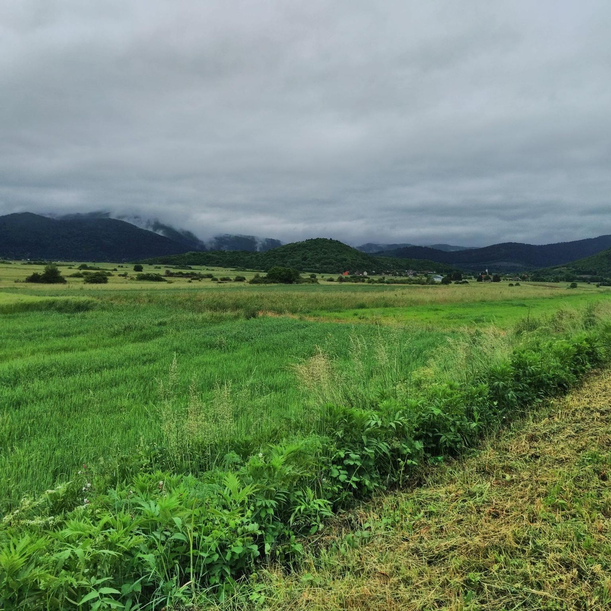
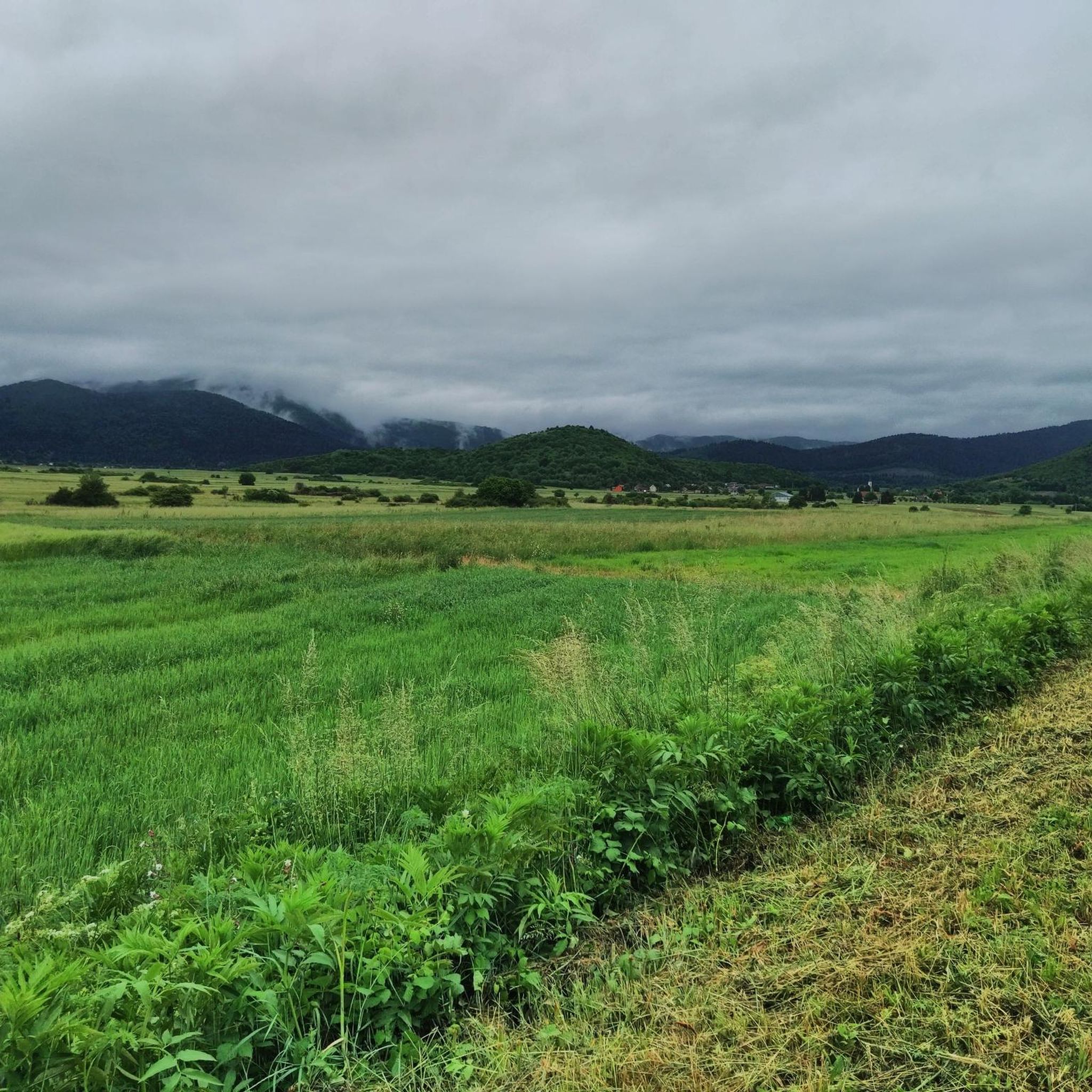
Road cycling in Um is characterized by diverse landscapes, including river areas and hilly terrain. Routes often pass through natural settings, sometimes featuring historical ruins and springs, offering scenic views throughout your ride.
How much elevation gain can I expect on road cycling routes in Um?
The routes in Um feature significant elevation changes. For instance, the Velika Pećina – Tavanak loop from Otočac has over 1680 meters of ascent, while the Jerinovo Brdo – Srdelj loop from Ličko Lešće includes over 935 meters of climbing.
What do other road cyclists say about the routes in Um?
Over 19 road cyclists have used komoot to explore Um's varied terrain. They often highlight the challenging climbs and scenic river areas as defining features of the region's road cycling experience.
Are there any routes that pass by historical sites or natural springs?
Yes, some routes in Um lead through areas with historical ruins and natural springs. For example, the moderate Fortica Castle Ruins – Gacka River Springs loop from Otočac specifically highlights these features, offering a ride with cultural and natural points of interest.
What is a good route for a moderately challenging ride in Um?
For a moderately challenging ride, consider the Jakovica glava – Poljana loop from Otočac. This 21.6-mile (34.7 km) route offers a good balance of distance and elevation without being overly demanding, typically completed in just under 2 hours.
Most popular routes in Um

Get inspired with the komoot mobile app


