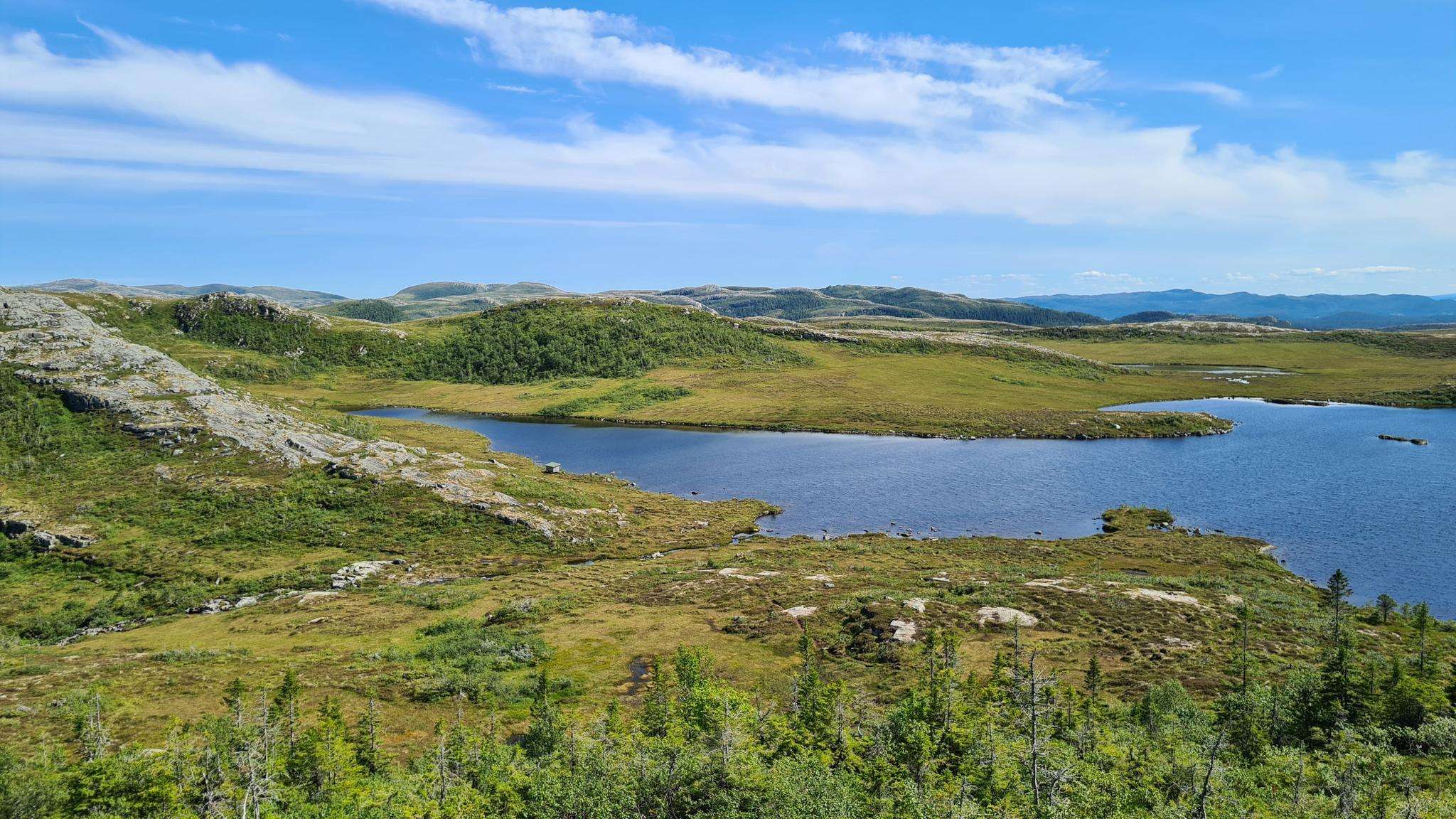
The best road cycling routes around Storvatnet
5.0
(1)
14
riders
Road cycling around Storvatnet features routes with notable elevation changes, indicating a hilly landscape surrounding the lake. The region offers varied terrain suitable for road cyclists seeking moderate to difficult challenges. Routes often include loops around bodies of water and through areas with significant elevation gain.
Best road cycling routes around Storvatnet
- The most popular road cycling route is Vatngardsvatnet – Stadsbygd gamle kirke (ruin) loop from Pertrøa, a 22.4 miles (36.0 km) trail that takes 1 hour 45…
Last updated: August 17, 2026
5.0
(1)
4
riders
35.7km
01:44
530m
530m
Moderate road ride. Good fitness required. Mostly well-paved surfaces and easy to ride.
4
riders
49.1km
02:30
740m
740m
Moderate road ride. Good fitness required. Mostly well-paved surfaces and easy to ride.

Sign up for free
3
riders
55.4km
02:38
730m
730m
Moderate road ride. Good fitness required. Mostly well-paved surfaces and easy to ride.
1
riders
40.2km
02:03
670m
670m
Moderate road ride. Good fitness required. Some segments of this route may be unpaved and difficult to ride.
2
riders
70.4km
03:21
920m
920m
Hard road ride. Very good fitness required. Mostly well-paved surfaces and easy to ride.
Our route recommendations are based on thousands of hikes, rides, and runs completed by other people on komoot.
Start today with a free account
Your next adventure awaits.
Login or Signup
Popular around Storvatnet
Frequently Asked Questions
How many road cycling routes are available around Storvatnet?
There are 5 road cycling routes detailed in this guide for the Storvatnet area, offering a variety of challenges for cyclists.
What kind of terrain can I expect when road cycling around Storvatnet?
Road cycling around Storvatnet features a hilly landscape with notable elevation changes. You can expect varied terrain, often including loops around bodies of water and areas with significant ascents.
Are there circular road cycling routes around Storvatnet?
Yes, the road cycling network around Storvatnet is primarily defined by circular routes. For example, the Vatngardsvatnet – Stadsbygd gamle kirke (ruin) loop from Pertrøa and the Vatngardsvatnet loop from Pertrøa are popular circular options.
Are there any easy or beginner-friendly road cycling routes in Storvatnet?
The road cycling routes around Storvatnet are generally rated as moderate to difficult due to significant elevation changes. There are no routes specifically classified as easy or beginner-friendly in this guide.
What is the longest road cycling route available in this guide?
The longest route in this guide is the Haugstjønnan – Strømmen fuglefredningsområde loop from Fallet, covering approximately 74.5 kilometers (46.3 miles) with over 880 meters of ascent.
What do other road cyclists enjoy most about road cycling in Storvatnet?
The area is highly rated by the komoot community, with an average score of 5.0 stars. Cyclists often praise the challenging terrain, scenic lake views, and the well-structured circular routes.
Are there any viewpoints along the road cycling routes in Storvatnet?
While specific named viewpoints are not detailed in the route descriptions, the hilly landscape and routes often looping around bodies of water like Storvatnet itself suggest numerous scenic spots and panoramic views along the way.
What is the best time of year for road cycling around Storvatnet?
Given the northern location and hilly terrain, the best time for road cycling around Storvatnet is typically during the warmer months, from late spring through early autumn, when roads are clear of snow and ice, and weather conditions are more stable.
Are there options for long-distance road cycling in Storvatnet?
Yes, Storvatnet offers several options for longer road cycling tours. The Strømmen fuglefredningsområde loop from Pertrøa, for instance, is a challenging 70.5-kilometer (43.8-mile) route with over 920 meters of elevation gain, suitable for experienced long-distance riders.
Can I find cafes or places to stop for refreshments near the cycling routes?
While specific cafes are not listed for each route, the routes often pass through or near small communities. It's advisable to check local maps or resources for refreshment stops in towns like Pertrøa or Stadsbygd before you set out.
What are the typical elevation gains on road cycling routes in Storvatnet?
Road cycling routes around Storvatnet are characterized by significant elevation changes. Most routes feature ascents ranging from approximately 530 meters (1,740 feet) to over 920 meters (3,000 feet), indicating a challenging and hilly cycling experience.
Most popular routes around Storvatnet

Get inspired with the komoot mobile app


Explore more
Browse the best Road cycling routes in other regions.
