The best road cycling routes around Hamlagrøvatnet
109
riders
6
rides
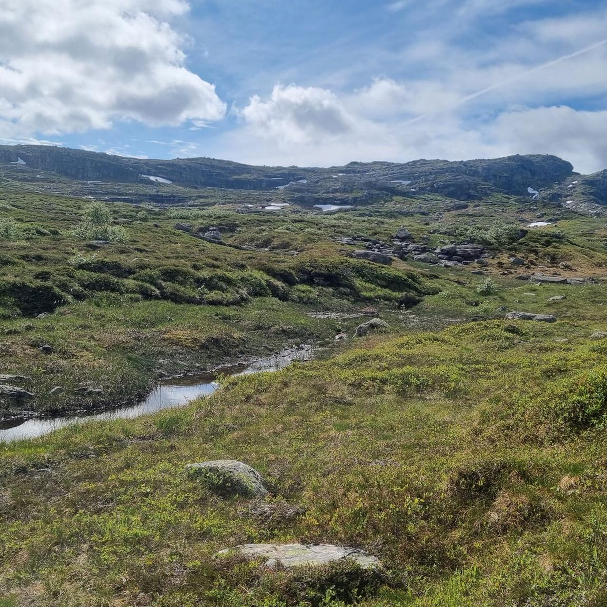
Road cycling routes around Hamlagrøvatnet are characterized by challenging terrain in the Hordaland region of Norway. The area features a large lake, Hamlagrøvatnet, and is surrounded by mountainous landscapes with significant elevation changes. Road cyclists can expect routes that navigate through valleys, past water features like dams and waterfalls, and offer extensive climbs.
Best road cycling routes around Hamlagrøvatnet
- The most popular road cycling route is Steinsdalsfossen Waterfall – Dam in Norway loop from Voss, a 94.9 miles (152.7 km) trail that takes 8 hours 11 minutes to complete. This difficult route features substantial elevation gain through varied Norwegian landscapes.
- Another top favourite among local road cyclists is Dam in Norway loop from Voss, a difficult 61.3 miles (98.7 km) path. This route offers a demanding ride with significant climbs and descents around the region's water features.
- Local road cyclists also love the Dam in Norway – Steinsdalsfossen Waterfall loop from Dale, a 85.0 miles (136.9 km) trail leading through mountainous terrain and past notable waterfalls, often completed in about 7 hours 24 minutes.
- Road cycling around Hamlagrøvatnet is defined by challenging climbs, scenic lake views, and routes that traverse mountainous Norwegian landscapes. The network primarily offers options for experienced road cyclists seeking demanding rides.
- The guide includes highly-rated routes that showcase the best of the region's landscape. More than 100 road cyclists have used komoot to explore Hamlagrøvatnet's varied terrain.
Last updated: July 1, 2026
25
riders
154km
08:15
2,810m
2,810m
Hard road ride. Very good fitness required. Some segments of this route may be unpaved and difficult to ride.
13
riders
108km
05:43
1,950m
1,950m
Hard road ride. Very good fitness required. Mostly well-paved surfaces and easy to ride.

Sign up for free
29
riders
137km
07:24
2,670m
2,670m
Hard road ride. Very good fitness required. Some segments of this route may be unpaved and difficult to ride.
23
riders
83.3km
04:21
1,520m
1,520m
Hard road ride. Very good fitness required. Mostly well-paved surfaces and easy to ride.
12
riders
113km
05:56
2,010m
2,010m
Hard road ride. Very good fitness required. Some segments of this route may be unpaved and difficult to ride.
Our route recommendations are based on thousands of hikes, rides, and runs completed by other people on komoot.
Start today with a free account
Your next adventure awaits.
Login or Signup
Popular around Hamlagrøvatnet
Tips from the Community

Along the road there is this wooden wobbly bridge with planks getting loose. Not for the faint of hearted :)
0
0

Dale is a small, quiet village tucked between steep hills and the fjord in Vestland. It’s a nice spot to pause—whether you're cycling along the water or hiking through the valleys. The surrounding landscape is classic western Norway: green slopes, scattered farms, and calm views over the water.
0
0

Unfortunately, access to the dam was blocked when we were there.
0
0
Frequently Asked Questions
What is the general difficulty level of road cycling routes around Hamlagrøvatnet?
Road cycling routes in the Hamlagrøvatnet area are predominantly challenging, characterized by significant elevation changes and demanding climbs. All currently listed routes are rated as 'difficult', making them best suited for experienced road cyclists.
Are there any beginner-friendly road cycling routes near Hamlagrøvatnet?
The Hamlagrøvatnet region is known for its mountainous terrain and substantial elevation gains, meaning most road cycling routes are designed for experienced riders. There are currently no routes listed as easy or moderate; all available routes are classified as difficult.
What are the typical distances and durations for road cycling routes in this area?
Routes around Hamlagrøvatnet vary in length, with some of the most popular options ranging from approximately 60 to 95 miles (98 to 153 km). These challenging rides can take anywhere from 5 to over 8 hours to complete, depending on the specific route and your pace.
Where do road cycling routes typically start around Hamlagrøvatnet?
Many road cycling routes in the Hamlagrøvatnet area commonly start from nearby towns such as Voss or Dale. For example, the popular Steinsdalsfossen Waterfall – Dam in Norway loop begins from Voss, while the Dam in Norway – Steinsdalsfossen Waterfall loop starts from Dale.
What kind of scenery can I expect on a road bike tour around Hamlagrøvatnet?
Road cyclists can expect breathtaking Norwegian landscapes featuring the large Hamlagrøvatnet lake, surrounding mountains, and routes that traverse valleys. You'll encounter various water features, including dams and notable waterfalls like Steinsdalsfossen and Storfossen, along with extensive climbs offering panoramic views.
Are there any circular road cycling routes available?
Yes, several popular road cycling routes around Hamlagrøvatnet are designed as loops. Examples include the Dam in Norway loop from Voss and the Storfossen – Dam in Norway loop from Dale, which allow you to start and finish in the same location.
What is the best time of year for road cycling in the Hamlagrøvatnet region?
Given the mountainous terrain and Norwegian climate, the best time for road cycling around Hamlagrøvatnet is typically during the warmer months, from late spring through early autumn (roughly May to September). During this period, you'll find more favorable weather conditions and less chance of snow or ice at higher elevations.
What are some notable landmarks or natural features along the road cycling routes?
The routes often pass by significant natural features. You can expect to see impressive waterfalls such as Steinsdalsfossen and Storfossen, as well as various dams that are part of the region's water management. The routes also offer views of the Hamlagrøvatnet lake itself and the surrounding dramatic mountain scenery.
How many road cycling routes are available in the Hamlagrøvatnet area?
There are currently 6 road cycling routes listed for the Hamlagrøvatnet area, all of which are categorized as difficult due to the challenging terrain and significant elevation changes.
What do other road cyclists say about the routes around Hamlagrøvatnet?
More than 100 road cyclists have used komoot to explore the Hamlagrøvatnet area. Users frequently praise the challenging climbs, the stunning lake views, and the opportunity to traverse varied mountainous Norwegian landscapes. The routes are highly regarded by those seeking demanding and scenic rides.
Is public transport accessible to the starting points of these routes?
While specific public transport details for each route are not provided, towns like Voss and Dale, which serve as common starting points, are generally accessible by public transport in Norway. It's advisable to check local bus or train schedules for connections to these locations.
Are there any less crowded road cycling options near Hamlagrøvatnet?
The Hamlagrøvatnet region is known for its rugged and somewhat remote character, which often means routes are less crowded than those in more urbanized areas. While specific crowd levels vary, the challenging nature of the terrain naturally attracts a dedicated cycling community, rather than mass tourism.
Most popular routes around Hamlagrøvatnet

Get inspired with the komoot mobile app


Explore more
Browse the best Road cycling routes in other regions.
