The best road cycling routes around Saaristomeren kansallispuisto
5.0
(1)
65
riders
5
rides
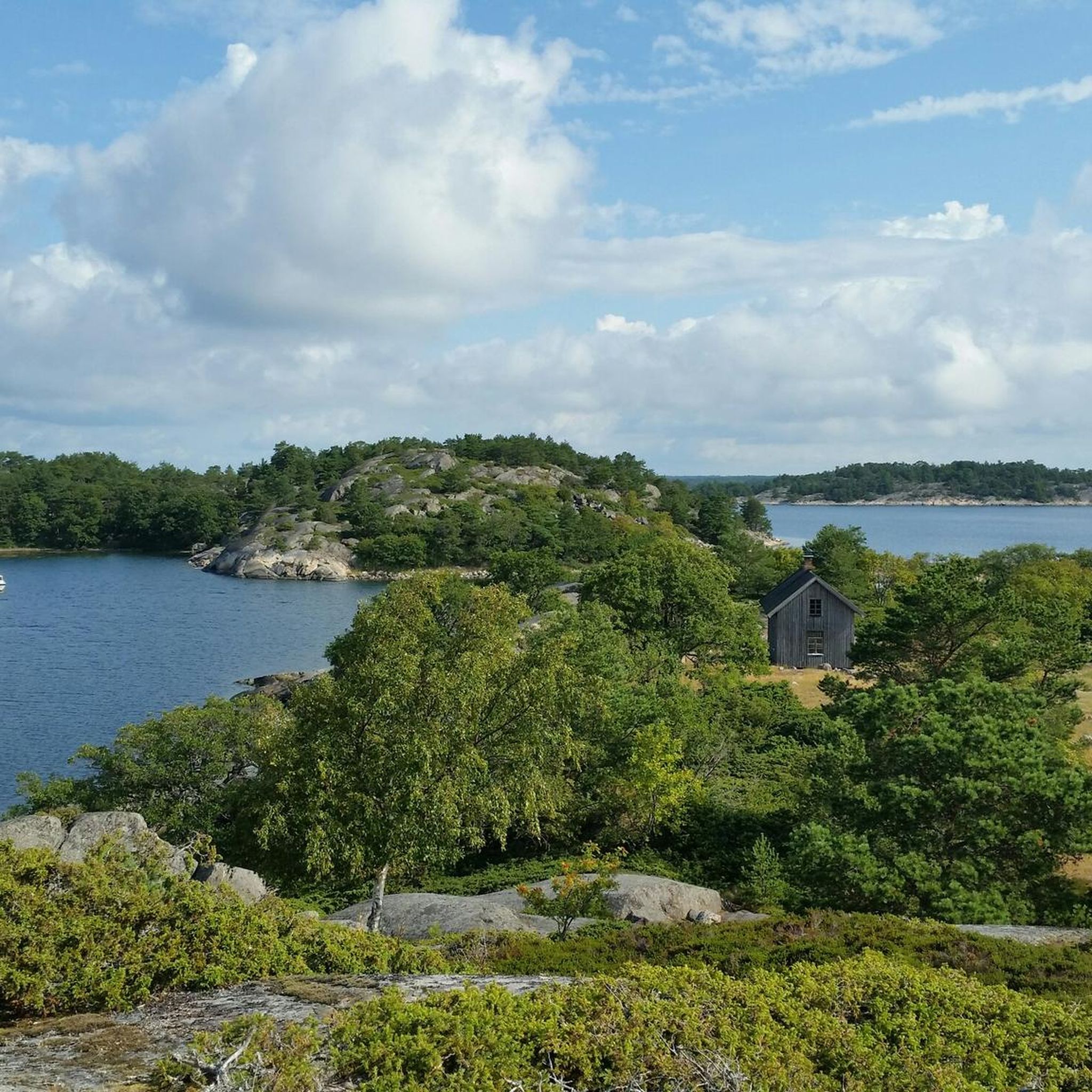
Road cycling routes around Saaristomeren kansallispuisto traverse a unique archipelago landscape in Southwest Finland. This region is characterized by a mosaic of sea and rocky islands, interconnected by bridges and ferry crossings. The terrain varies from relatively flat sections to rolling hills, with most surfaces along the main routes being paved. The area offers diverse environments, including forested islands and open seas, providing varied backdrops for cyclists.
Best road cycling routes around Saaristomeren kansallispuisto
- The most popular road cycling route…
Last updated: July 6, 2026
10
riders
42.3km
01:39
170m
170m
Easy road ride. Great for any fitness level. Mostly well-paved surfaces and easy to ride.
14
riders
84.0km
03:26
510m
510m
Moderate road ride. Good fitness required. Mostly well-paved surfaces and easy to ride.

Sign up for free
5.0
(1)
11
riders
40.7km
01:41
270m
270m
Easy road ride. Great for any fitness level. Mostly well-paved surfaces and easy to ride.
9
riders
54.1km
02:13
240m
240m
Moderate road ride. Good fitness required. Some segments of this route may be unpaved and difficult to ride.
4
riders
33.9km
01:27
210m
210m
Easy road ride. Great for any fitness level. Mostly well-paved surfaces and easy to ride.
Our route recommendations are based on thousands of hikes, rides, and runs completed by other people on komoot.
Start today with a free account
Your next adventure awaits.
Login or Signup
Popular around Saaristomeren kansallispuisto
Other adventures around Saaristomeren kansallispuisto

Tips from the Community

a little busy (and no rideable shoulder), totally flat, asphalt okay
0
0
little traffic, gently rolling hills with flat sections, asphalt quite old but still rolls okay
0
0
not too much traffic, almost flat, okay asphalt
0
0

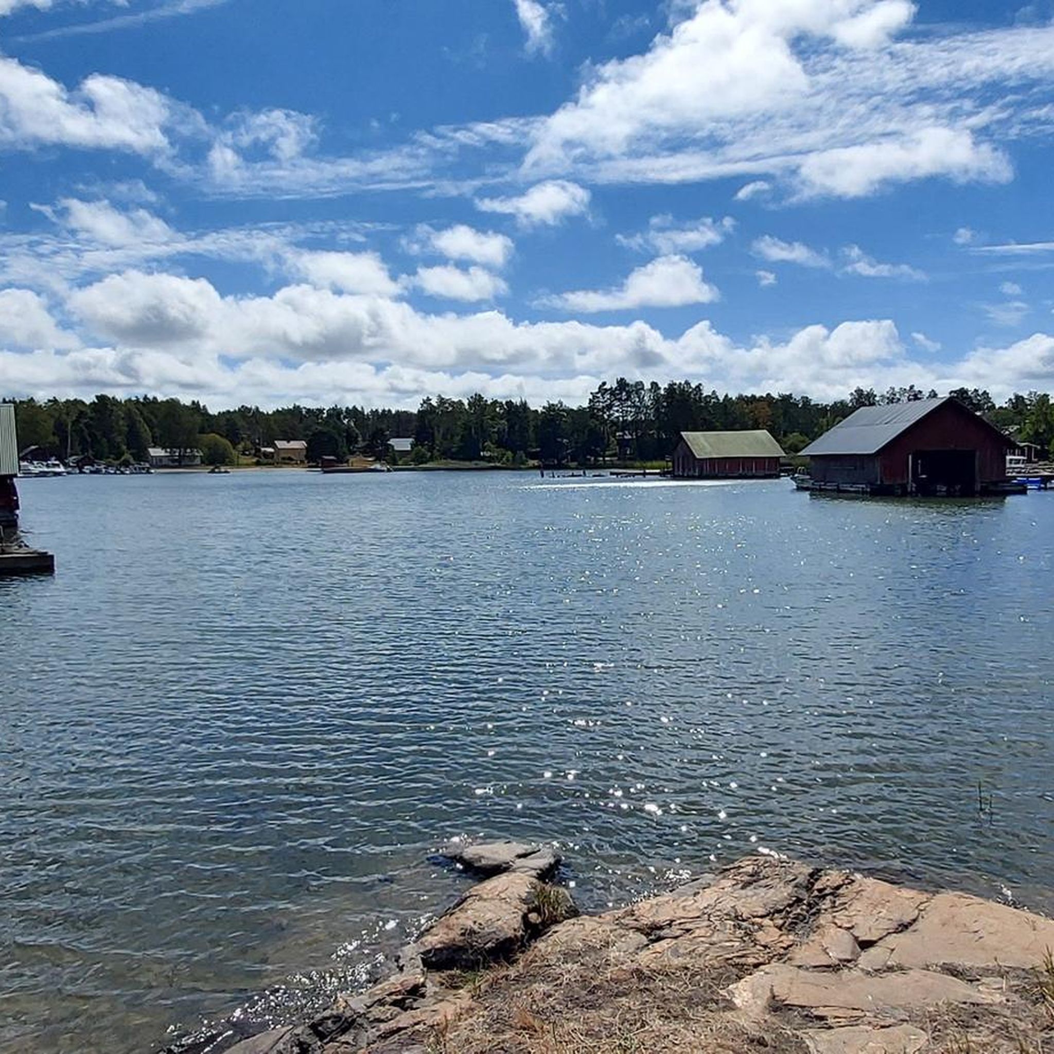
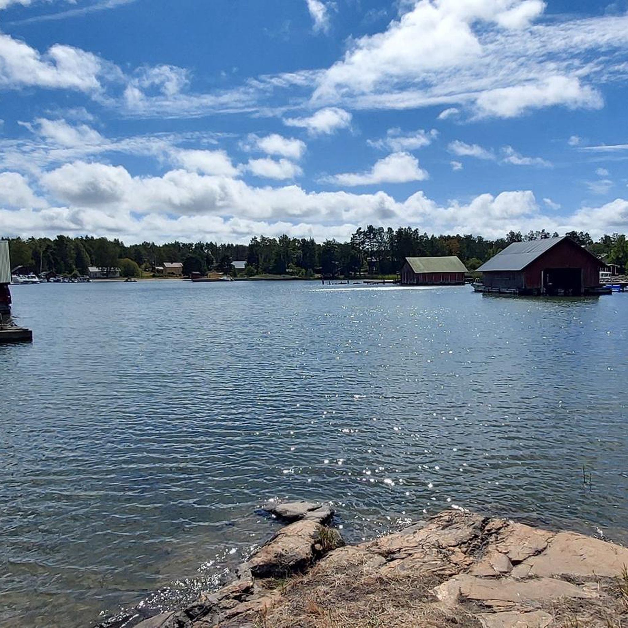
The Kimitoön Archipelago comprises over 500 islands, with Kimitoön being the largest. Renowned for its stunning natural beauty, the archipelago offers a blend of lush forests, rocky shores, and charming coastal villages. It's a haven for outdoor enthusiasts, providing activities such as kayaking, cycling, and hiking, especially within the Archipelago National Park .
0
0
Dragsfjärd is a small town in the Kimitoön archipelago. Highlights include the 18th-century Dragsfjärd Church, the Bengtskär Lighthouse, Finland’s tallest, and picturesque cycling routes.
0
0

The Lövö bridge, located in south-eastern Finland, is one of the country's most scenic spots. You can enjoy a really typical viewpoint from up there.
0
0
Frequently Asked Questions
What kind of terrain can I expect on road cycling routes around Saaristomeren kansallispuisto?
The road cycling routes in the Saaristomeren kansallispuisto region offer a varied landscape. You'll find a mix of relatively flat sections and rolling hills, characteristic of the archipelago's islands. Most main routes feature paved surfaces, ensuring a comfortable ride through diverse environments, from forested islands to open sea views.
Are there options for beginners or families looking for easier road cycling routes?
Yes, the region offers routes suitable for different ability levels, including easier options. For instance, the Kimitoön archipelago loop from Dalsbruk is an easy route covering about 34 kilometers. Another accessible option is the Lövö Bridge – Lövö Bridge loop from Kaxkäla, which is around 41 kilometers and also rated as easy.
What are some longer road cycling routes for more experienced cyclists?
For those seeking longer distances, the Kimitoön Archipelago – Lövö Bridge loop from Kaxkäla is a moderate 84-kilometer trail that takes approximately 3 hours 25 minutes to complete. This route explores the broader Turku Archipelago, offering an extensive island-hopping experience.
Can I bring my dog on road cycling routes in Saaristomeren kansallispuisto?
While the Archipelago National Park is known for its natural beauty, specific regulations regarding dogs on cycling routes can vary. Generally, dogs are welcome in many outdoor areas in Finland but should be kept on a leash, especially in national parks, to protect wildlife. It's always best to check local signage or visitor information for the specific islands you plan to cycle through.
What is the best time of year for road cycling in the Archipelago National Park region?
The summer months are generally the best time for road cycling in the Saaristomeren kansallispuisto region. The weather is milder, and the ferry services, which are crucial for island-hopping, operate more frequently. This allows for the most enjoyable and accessible cycling experience across the islands.
How do I access the Archipelago Trail or other cycling routes using public transport?
Public transport access to the Archipelago Trail starting points is possible, often involving bus connections from larger towns like Turku to the ferry terminals or main islands. The islands are interconnected by regular, often free, ferry crossings, which are an integral part of the cycling experience. It's advisable to check current bus and ferry schedules in advance, especially outside peak season.
Where can I find parking for road cycling routes in the Saaristomeren kansallispuisto area?
Parking for cyclists is typically available at the starting points of major routes or near ferry terminals on the larger inhabited islands. Towns and villages within the archipelago, such as those along the Archipelago Trail, often have designated parking areas. It's recommended to look for parking information specific to your chosen starting location.
Are there any permits required for road cycling in Saaristomeren kansallispuisto?
Generally, no specific permits are required for road cycling on public roads and designated cycling paths within the Saaristomeren kansallispuisto region. However, always respect private property and any local regulations, especially when cycling through smaller island communities or protected areas.
What natural features will I encounter while road cycling in the archipelago?
As you cycle, you'll experience the region's unique mosaic of sea and rocky islands. The landscape constantly changes, featuring rugged rocky islets, forested islands, and sheltered coves. You might spot diverse birdlife, including white-tailed eagles, and even curious seals. The routes often pass by ancient stone beaches and offer panoramic views of the vast open seas.
What do other road cyclists enjoy most about cycling in Saaristomeren kansallispuisto?
The area is highly rated by the komoot community, with an average score of 5.0 stars. Reviewers often praise the unique island-hopping experience, the stunning coastal views, and the tranquility of cycling through this beautiful archipelago. The well-maintained paved surfaces and the adventure of ferry crossings are frequently highlighted.
Are there any circular road cycling routes available?
Yes, many routes in the region are designed as loops, offering a circular journey. For example, the Retais–Pärnäs Ferry Terminal – Nestor Hotel & Restaurant loop from Korpo is a 42.5-kilometer circular trail that takes you through island communities and offers coastal views. The Västerkalaxvägen – Rumarvägen loop from Kviståker is another popular moderate loop covering about 54 kilometers.
What kind of infrastructure supports cycling in the Archipelago Sea area?
The Archipelago Sea area, including parts of the National Park, is well-suited for cycling due to its infrastructure. Islands are connected by numerous bridges and frequent, often free, ferry crossings, making island-hopping seamless. Most surfaces along the main routes, such as the Archipelago Trail, are paved, providing a smooth ride for road cyclists.
Most popular routes around Saaristomeren kansallispuisto

Get inspired with the komoot mobile app


Explore more
Browse the best Road cycling routes in other regions.
