The 5 Most Amazing Peaks around Kirchberg ob der Donau
Best mountain peaks around Kirchberg ob der Donau are found in the district of Rohrbach, Austria, a region characterized by its picturesque location on the Danube. While traditional alpine peaks are not present, the area features elevated viewpoints and significant hills. These locations offer panoramic views of the surrounding region and the Danube River. The diverse terrain and natural features provide opportunities for various hiking trails around Kirchberg ob der Donau.
Best mountain peaks around Kirchberg ob der Donau
- The…
Last updated: July 5, 2026
Mayrhofberg Observation Tower
Highlight • Viewpoint
Translated by Google •
Tip by

Summit Cross Kugelberg – Station 12 of Lebensblickeweg
Highlight • Summit
Translated by Google •
Tip by

Sign up now to discover places like this
Get recommendations on the best single tracks, peaks, & plenty of other exciting outdoor places.
Sign up for free
Kalvarienberg Chapel
Highlight • Religious Site
Translated by Google •
Tip by

Seilerberg – Highest Point of Hofkirchen im Mühlkreis
Highlight • Summit
Translated by Google •
Tip by

Pyramid on Etzinger Hill
Highlight • Monument
Translated by Google •
Tip by

Start today with a free account
Your next adventure awaits.
Login or Signup
Popular around Kirchberg ob der Donau

Danube Trail – Legendary long-distance hiking along the Danube River

Simply amazing – 13 hikes along the Donausteig
MTB Trails around Kirchberg ob der Donau
Hiking around Kirchberg ob der Donau
Running Trails around Kirchberg ob der Donau
Cycling around Kirchberg ob der Donau
Road Cycling Routes around Kirchberg ob der Donau
Gravel biking around Kirchberg ob der Donau


Tips from the Community

Singletrack trail at 808 m, highest point in Hofkirchen im Mühlkreis.
0
1
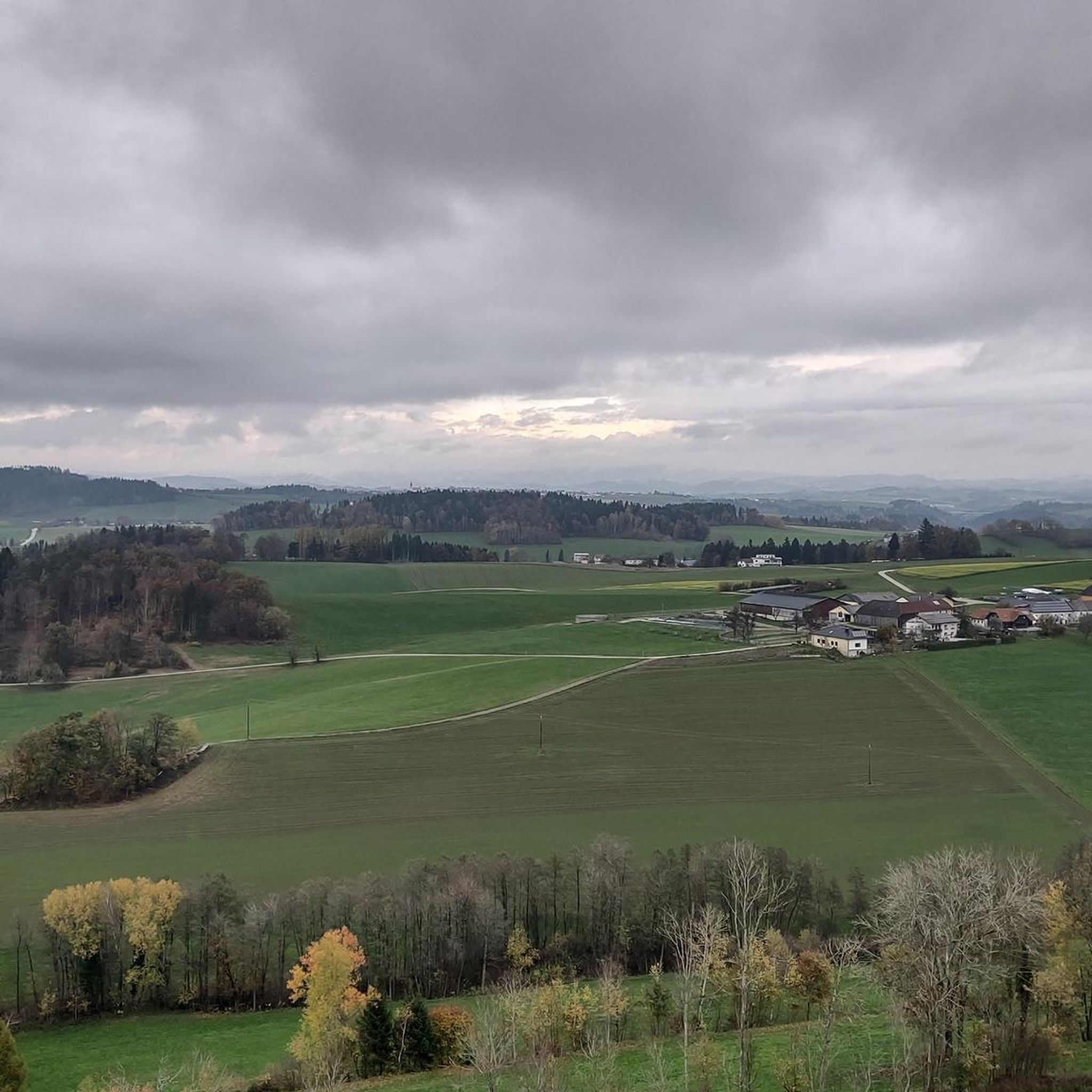
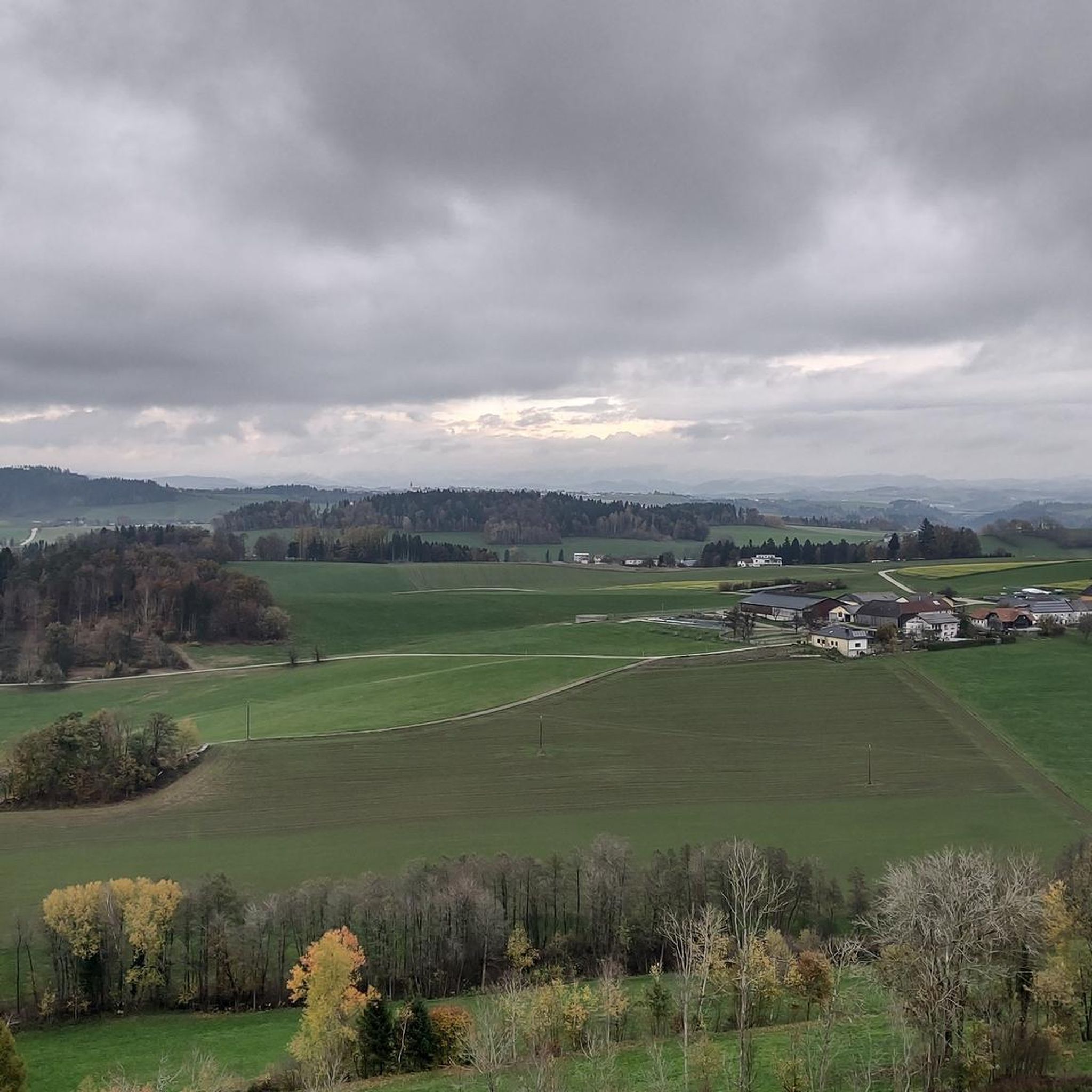
Panoramic view from the pyramid at Etzinger Hill.
0
0
Pyramid on Etzinger Hill: Drone footage taken with the DJI Mavic Air 2
0
0

The Mayrhofberg is adorned with a tower and a summit cross with some benches.
2
0

Well, the hike went okay. The observation tower is nice with a nice view, but the trail is very poorly signposted.
2
0
The Calvary Hill is the highest elevation in the municipality (562 m) with a chapel.
0
0
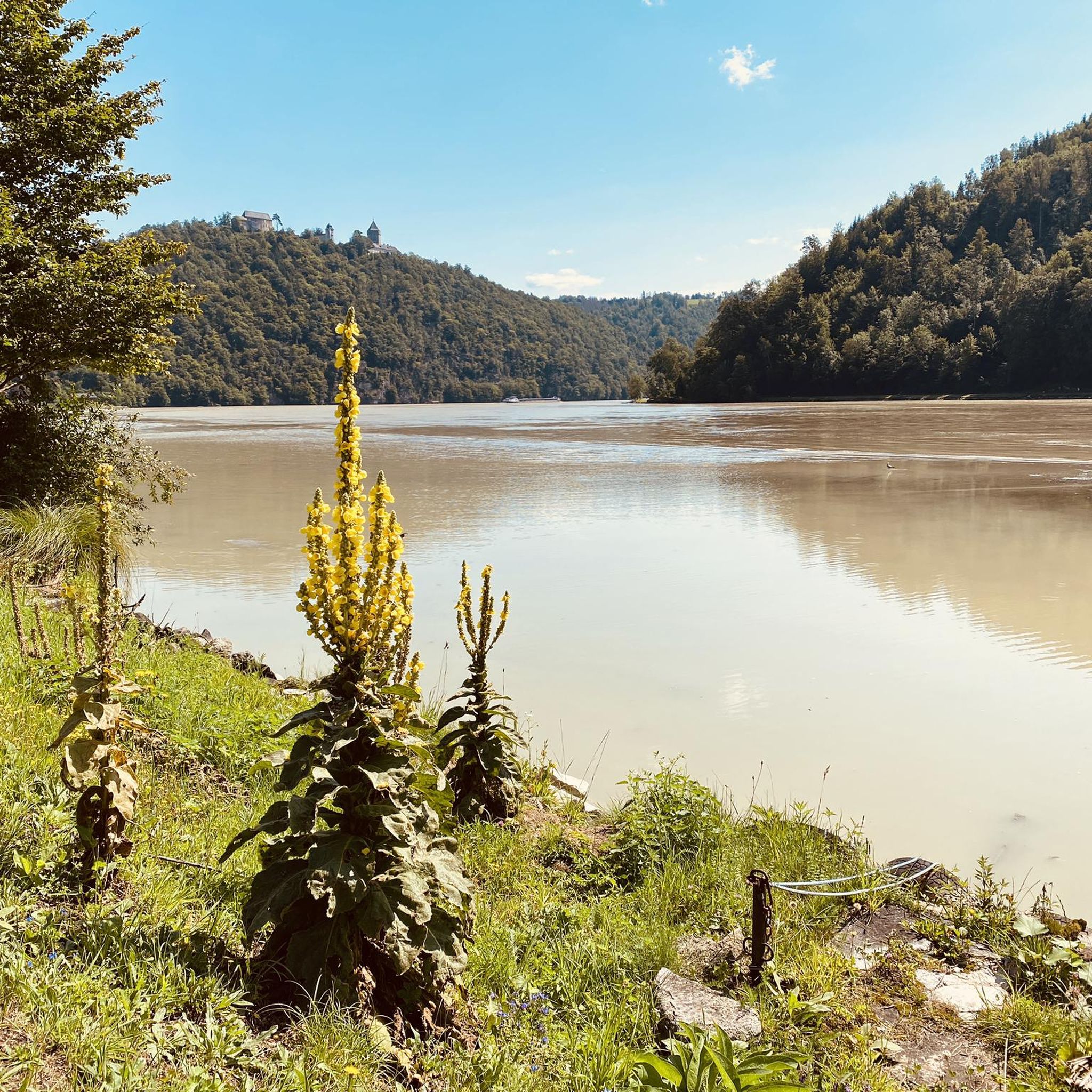
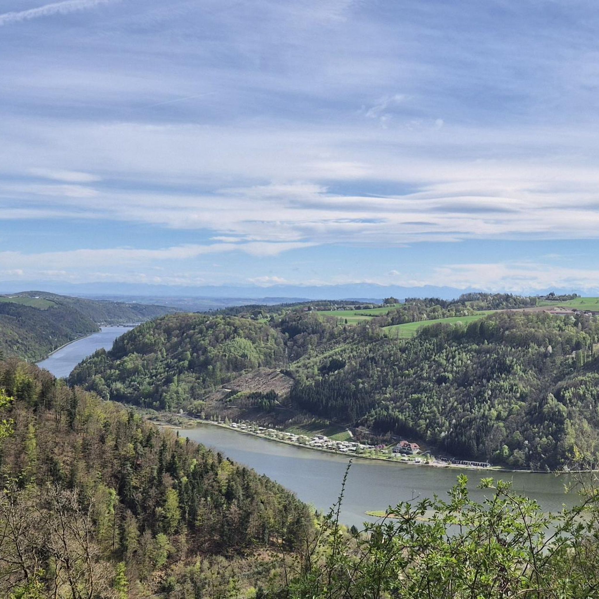
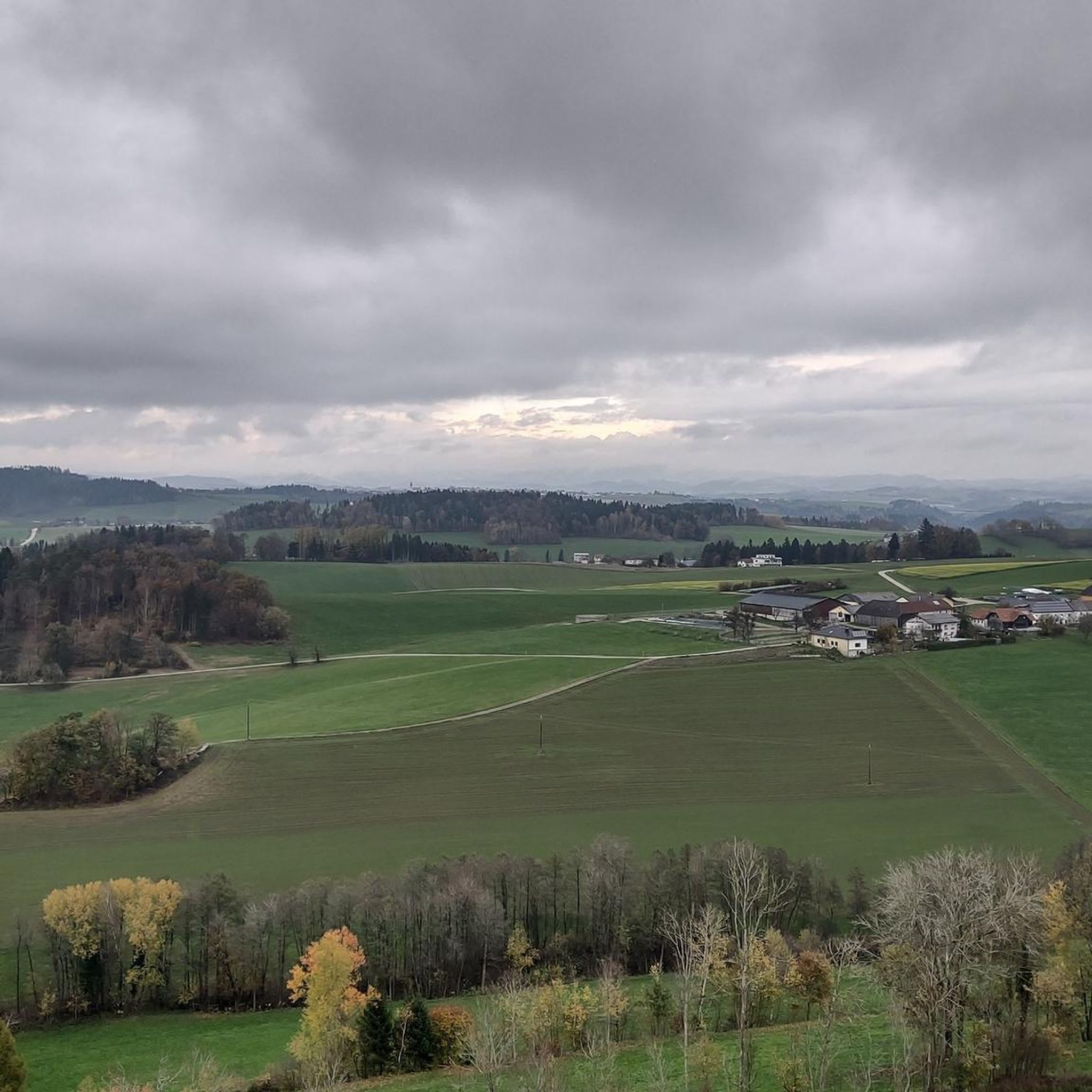
Panoramic view across the Danube to Kirchberg ob der Donau.
0
0

Very nice view and area. Recommended.
0
0
Frequently Asked Questions
What are some notable elevated viewpoints around Kirchberg ob der Donau?
While traditional alpine peaks are not present, the region offers several significant elevated viewpoints. The Mayrhofberg Observation Tower is a popular choice, being the highest elevation in the Eferding district at 655 meters. Another excellent spot is the Summit Cross Kugelberg – Station 12 of Lebensblickeweg, which offers a varied circular route with thematic points and views over the Mühlviertel landscape.
Which viewpoint offers the most expansive panoramic views?
The Mayrhofberg Observation Tower provides some of the most expansive views. From its 24-meter-high structure, you can see from the Bohemian Forest all the way to the Alps. The Burgstall observation tower, a short walk from Kirchberg village square, also offers panoramic views stretching across the Bohemian Forest to the Alps.
Are there any historical or cultural sites among the elevated points?
Yes, the Kalvarienberg Chapel is a religious building and summit offering a panoramic view across the Danube to Kirchberg ob der Donau from its elevation of 562 meters. Additionally, the Summit Cross Kugelberg – Station 12 of Lebensblickeweg is part of a thematic route that reflects the everyday life of bygone days with old photos of the Sarleinsbach population.
What kind of hiking trails can I find near these elevated points?
The region around Kirchberg ob der Donau is rich in diverse hiking trails. You can find easy routes like those leading to the View of the Danube – Michael Leibezeider Shrine loop, as well as moderately challenging paths like the Donausteigrunde, which reaches a highest point of 605 meters. The Pesenbachtal - Kerzenstein area also offers varied difficulty levels, including an easy hike to Kerzenstein.
Are there family-friendly options for exploring the elevated areas?
Many trails in the region are suitable for families. The hike to the Burgstall observation tower is moderately challenging but rewarding, and the Kalvarienberg Chapel is also considered family-friendly. For easier options, consider routes from the Easy hikes around Kirchberg ob der Donau guide, such as the 'View of Kirchberg – View of Seibersdorf loop'.
Can I bring my dog on trails around Kirchberg ob der Donau's elevated points?
Generally, dogs are welcome on most hiking trails in the region, provided they are kept on a leash and owners clean up after them. It's always a good idea to check specific trail regulations or local signage, but the natural paths and viewpoints are typically dog-friendly.
What is the highest point in the immediate vicinity of Kirchberg ob der Donau?
The highest point mentioned in the immediate vicinity is the Seilerberg – Highest Point of Hofkirchen im Mühlkreis, reaching 808 meters. The Mayrhofberg Observation Tower is also a significant elevation at 655 meters, marking the highest point in the Eferding district.
What outdoor activities are available besides hiking near these elevated points?
Beyond hiking, the area offers excellent opportunities for cycling. You can explore various routes for road cycling, including the 'Untermühl – Obermühl loop', or try gravel biking with routes like the 'Pupping Franciscan Monastery – Aschach on the Danube loop'.
When is the best time of year to visit the elevated viewpoints?
The region is beautiful year-round, but spring, summer, and early autumn offer the most pleasant weather for hiking and enjoying the panoramic views. These seasons provide lush greenery or vibrant autumn colors. Winter hiking is also possible, offering a different, serene experience, though some paths might be snow-covered.
Are there any circular hiking routes that include these viewpoints?
Yes, several circular routes incorporate the elevated points. The Summit Cross Kugelberg – Station 12 of Lebensblickeweg is part of a varied circular route. The Donausteigrunde is also a circular hiking trail. Additionally, the 'Waldkirchen: 4/4-Blick-Runde' is a medium-difficulty circular route offering extensive views.
Where can I find a unique experience combining nature and reflection?
The Donausteigrunde trail emphasizes 'spiritual hiking' and the experience of silence and calmness amidst nature, allowing visitors to connect with their inner voice. The Lebensblickeweg, which includes the Summit Cross Kugelberg, also offers a contemplative experience with its thematic points and meditation areas.
Are there any lesser-known or 'hidden gem' elevated spots worth visiting?
The Pyramid on Etzinger Hill offers a unique structure and panoramic views, which might be a less conventional but equally rewarding spot to visit. The Seilerberg, while the highest point in Hofkirchen, is described as a short detour on a panorama trail, suggesting it might be a quieter, less crowded gem.
What are the typical difficulty levels for hikes to these elevated points?
Hikes to the elevated points around Kirchberg ob der Donau range from easy to intermediate. Many trails, such as those in Pesenbachtal - Kerzenstein, offer varied difficulty levels. The Donausteigrunde is considered moderately challenging, while several routes in the Easy hikes around Kirchberg ob der Donau guide are specifically designed for beginners.
Most popular routes around Kirchberg ob der Donau
Most popular attractions around Kirchberg ob der Donau

Get inspired with the komoot mobile app


Explore more
See even more amazing summits around Kirchberg ob der Donau with these guides:
