The best road cycling routes around Klettstedt
4.7
(200)
1,181
riders
68
rides
Road cycling around Klettstedt offers varied terrain within the Thuringian Basin, characterized by mostly flat to gently rolling landscapes interspersed with some hilly sections. The region features expansive fields, charming small towns, and access to picturesque river valleys like the Unstrut and Ilm. This diverse geography provides a range of cycling experiences suitable for different abilities, from smooth, paved paths to routes with moderate elevation changes.
Best road cycling routes around Klettstedt
- The most popular road cycling route is Tree-Lined…
Last updated: October 11, 2026
4.9
(25)
66
riders
38.5km
01:39
230m
230m
Moderate road ride. Great for any fitness level. Some segments of this route may be unpaved and difficult to ride.
5.0
(3)
23
riders
49.8km
02:15
450m
450m
Moderate road ride. Good fitness required. Some segments of this route may be unpaved and difficult to ride.

4.3
(9)
99
riders
49.4km
02:39
120m
120m
Moderate road ride. Good fitness required. Some segments of this route may be unpaved and difficult to ride.
5.0
(1)
16
riders
63.1km
02:39
420m
420m
Moderate road ride. Good fitness required. Some segments of this route may be unpaved and difficult to ride.
14
riders
37.5km
01:51
260m
260m
Moderate road ride. Great for any fitness level. Some segments of this route may be unpaved and difficult to ride.
Get access to more routes and recommendations from other explorers.
Already have an account?
Our route recommendations are based on thousands of hikes, rides, and runs completed by other people on komoot.
Start today with a free account
Your next adventure awaits.
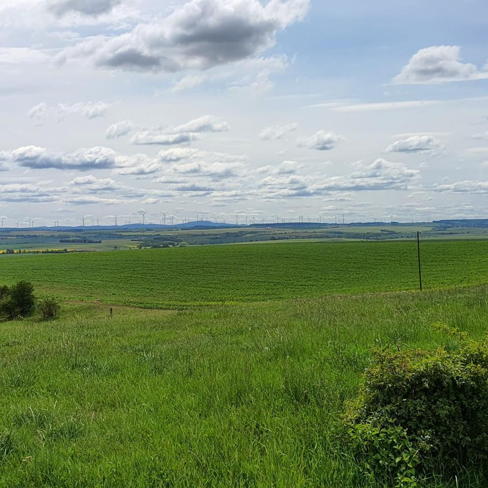
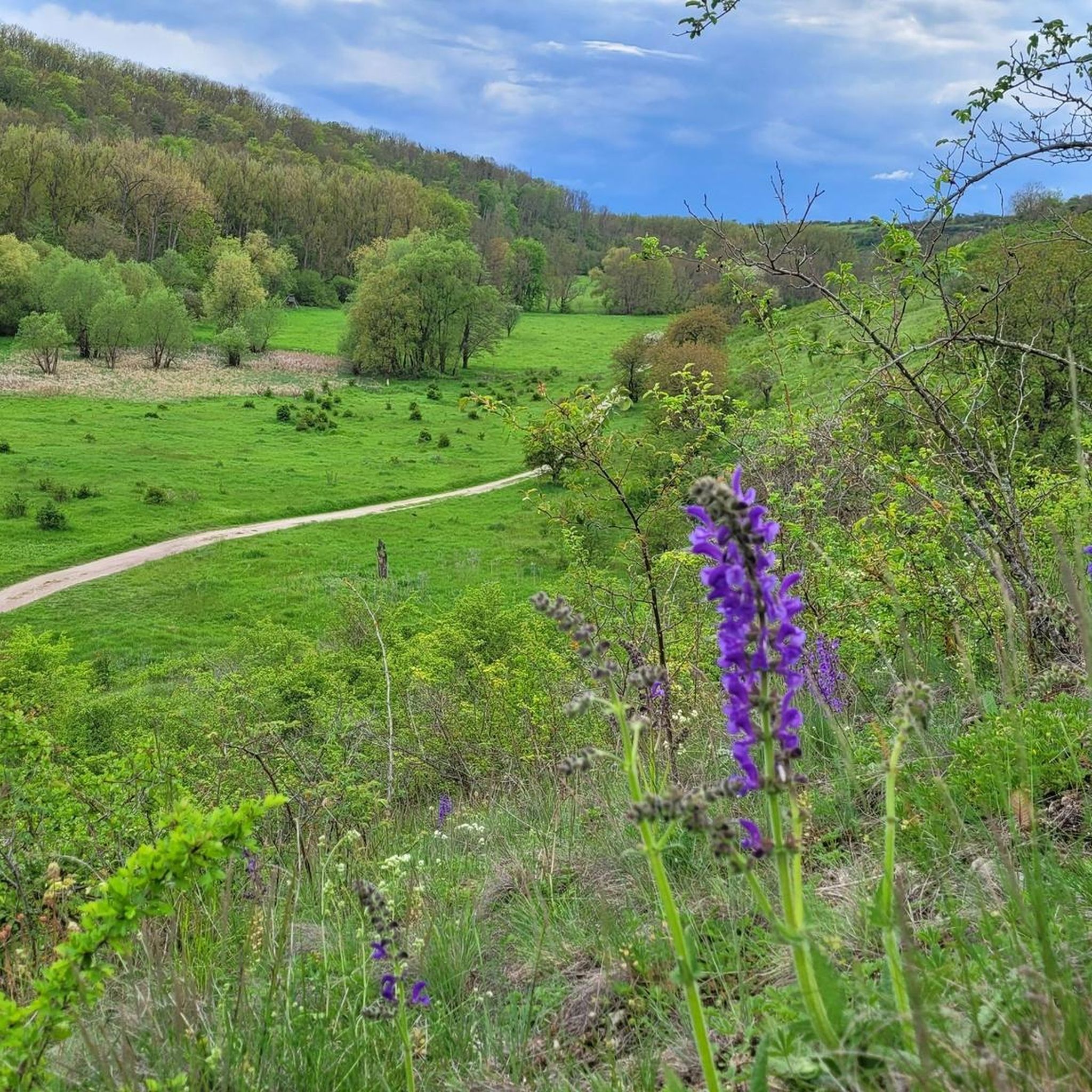
Tips from the Community

Very nice cycle path along the Gera
0
0

a children's and youth home is located here
0
0

Good way to get from Gispersleben to Erfurt city center. Please be considerate of pedestrians.
0
0

wonderful impressions for the whole family
0
0

Very nice cycle path partly on an old railway line
0
0

This very well-preserved windmill is accessible and can be visited directly, but not inside. It's visible from afar and is signposted throughout the village.
0
0

Hardly any climbs, rolls along wonderfully!
0
0

Always worth a trip. Families with children will get their money's worth here! Playground, snack bar and restaurant available. And the view over the forest is simply magical, especially in autumn!
1
0
Frequently Asked Questions
What kind of terrain can I expect when road cycling around Klettstedt?
The region around Klettstedt, situated within the Thuringian Basin, offers a diverse landscape for road cyclists. You'll find mostly flat to gently rolling terrain, ideal for smooth rides, interspersed with some moderate hilly sections that provide a bit more challenge. The area features expansive fields, charming small towns, and picturesque river valleys like the Unstrut and Ilm, offering varied scenery.
How many road cycling routes are available in the Klettstedt area?
There are over 70 road cycling routes around Klettstedt documented on komoot. These routes cater to various skill levels, with 5 easy, 64 moderate, and 5 difficult options, ensuring there's a suitable ride for almost every cyclist.
Are there any family-friendly road cycling routes near Klettstedt?
Yes, Klettstedt offers several routes suitable for families, particularly those that follow the flatter sections of river valleys or well-maintained rail trails. These paths often provide smooth surfaces and less traffic, making them enjoyable for all ages. For example, the Tree-Lined Path – Rail Trail Near Kirchheiligen loop from Gräfentonna is a moderate route that follows a tree-lined rail trail, offering scenic views and a pleasant ride.
What are some notable landmarks or attractions I can see along the road cycling routes?
Road cycling around Klettstedt provides opportunities to explore both natural beauty and historical sites. You can easily reach Bad Langensalza, which features attractions like the Japanese Garden and the preserved city walls. The region is also home to several castles, such as Herbsleben Castle Ruins and Tonna Castle (Kettenburg), which can be integrated into longer rides. Additionally, the Herbslebener Teiche Nature Reserve offers a tranquil natural stop.
What is the best time of year for road cycling in Klettstedt?
The best time for road cycling in Klettstedt is generally from spring through autumn. During these seasons, the weather is most favorable, with pleasant temperatures and less chance of extreme conditions. Spring brings blooming landscapes, while autumn offers beautiful foliage. Winter cycling is possible but may be affected by colder temperatures and potential snow or ice, especially on less-trafficked routes.
Are there circular road cycling routes available in the Klettstedt area?
Yes, many of the road cycling routes around Klettstedt are designed as loops, allowing you to start and end at the same point. This makes planning your ride convenient. An example is the Tüngeda Post Mill – The Hainichbaude loop from Bad Langensalza, which explores the countryside and passes historical landmarks.
What do other road cyclists say about the routes in Klettstedt?
The road cycling routes in Klettstedt are highly regarded by the komoot community, holding an impressive average rating of 4.8 stars from over 170 reviews. Cyclists often praise the region's well-maintained paths, the diverse terrain ranging from flat river valleys to gentle hills, and the scenic views of the Thuringian Basin.
Are there options for advanced road cyclists seeking more challenging routes?
While the region is known for its generally rolling terrain, there are routes that offer more challenge. Out of the 74 available routes, 5 are classified as difficult, featuring more significant elevation changes and longer distances. These routes provide a good workout for advanced cyclists looking to push their limits within the Thuringian Basin's landscape.
Can I find places to eat or stay along the road cycling routes near Klettstedt?
The region around Klettstedt, including nearby towns like Bad Langensalza, offers various amenities for cyclists. You'll find cafes, pubs, and accommodation options in these towns, providing convenient stops for refreshments or overnight stays. Many routes pass through or near these settlements, making it easy to plan your breaks.
What are the typical distances for road cycling routes in Klettstedt?
The road cycling routes around Klettstedt vary significantly in length to suit different preferences. For instance, the Pappelstieg Bridge – North Park, Erfurt loop from Herbsleben covers approximately 53.4 km, while the Beautiful cycle path – Rail Trail Near Kirchheiligen loop from Urleben is a longer option at about 63.7 km. You can find routes ranging from shorter, easy rides to longer, more challenging excursions.
Is public transport accessible for reaching road cycling routes in Klettstedt?
Klettstedt's location within the Thuringian Basin means that some routes may be accessible via public transport connections to nearby towns. While specific details depend on the starting point of your chosen route, larger towns in the region often have train or bus services that can facilitate reaching cycling areas. It's advisable to check local public transport schedules for specific route access points.
Most popular attractions around Klettstedt

Get inspired with the komoot mobile app


Explore more
Browse the best Road cycling routes in other regions.
