The best gravel rides around Brookfield
5.0
(1)
11
riders
2
rides
Gravel biking around Brookfield offers diverse terrain across extensive multi-use trail systems. The region features sprawling wetlands, wooded areas, and former quarry sites, providing varied landscapes for riders. Many trails, including sections of the Greenway Trail System, incorporate unpaved or crushed limestone surfaces suitable for gravel bikes. These pathways connect parks and natural habitats, allowing for exploration of the area's natural features.
Best gravel bike trails around Brookfield
- The most popular gravel bike trail is Loch Thom – Gryffe Reservoir…
Last updated: October 2, 2026
4.0
(1)
7
riders
41.8km
02:42
560m
560m
Hard gravel ride. Very good fitness required. Mostly paved surfaces. Suitable for all skill levels.
5.0
(1)
4
riders
35.7km
02:27
530m
530m
Hard gravel ride. Very good fitness required. You may need to push your bike for some segments of this route.

4.0
(1)
3
riders
43.9km
02:32
590m
590m
Hard gravel ride. Very good fitness required. Mostly paved surfaces. Suitable for all skill levels.
Our route recommendations are based on thousands of hikes, rides, and runs completed by other people on komoot.
Start today with a free account
Your next adventure awaits.
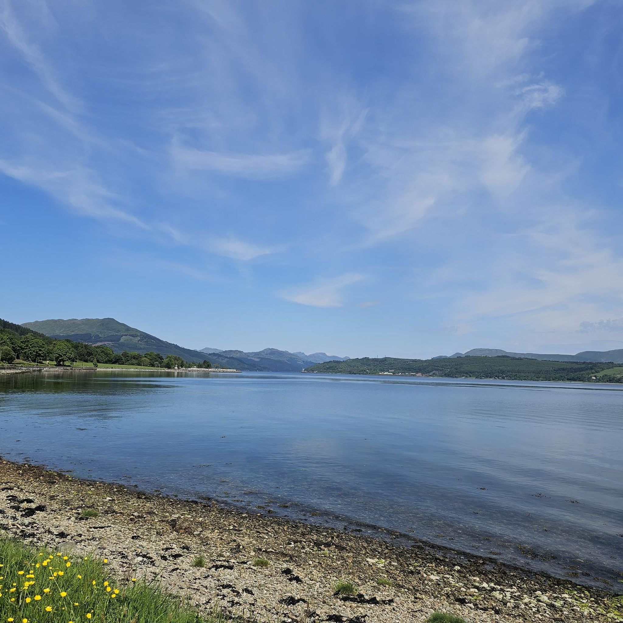
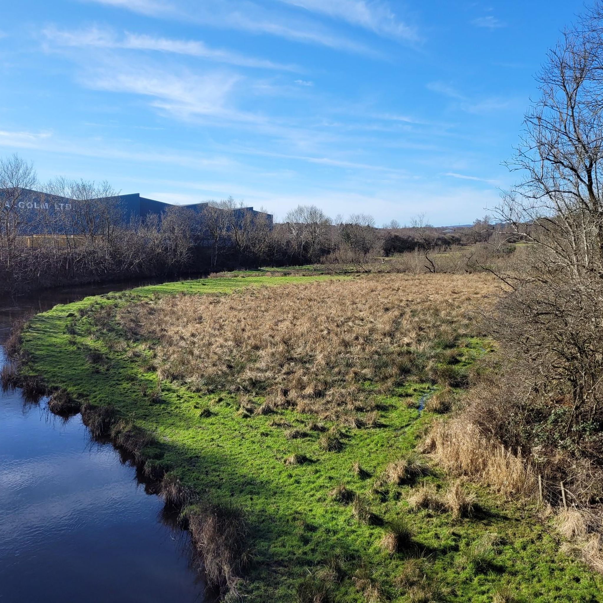
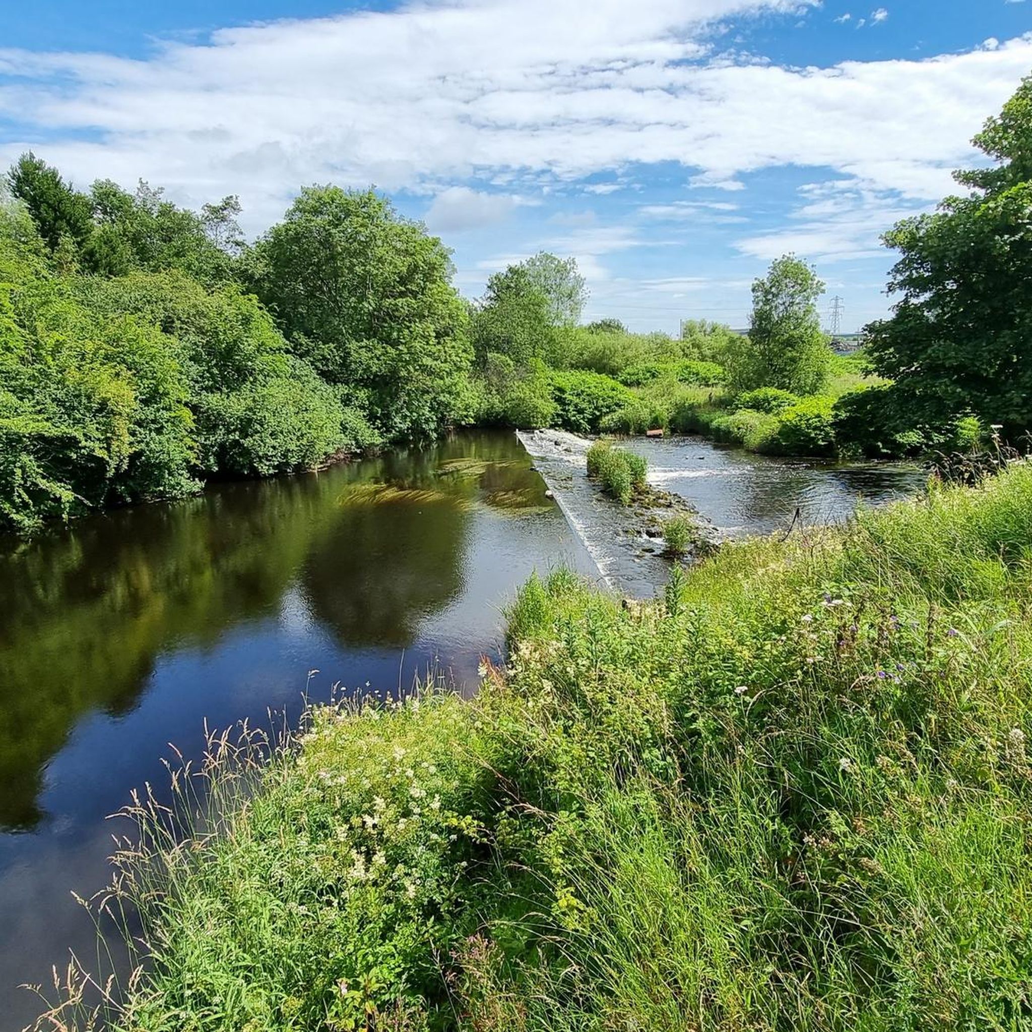


Tips from the Community

Slightly off the main track but the climb is well worth it with 360 views over Inverclyde, the Trossachs, and Glasgow. Just a few steps before the Trig Point, you have a bunch of information boards. Worth a read to find out more about the area.
0
0

I took a detour and followed a path marked by black lines in the komoot map. It quickly became too boggy to be rideable.
0
0

Great route into Glasgow city centre. Well marked and maintained surface.
0
0


Fallen trees (April 2025) across lochside path along Loch Humphrey have been cleared (June 2205).
1
0


Slight diversion in place on to the north bank path whilst the towpath is being upgraded as you come out of Clydebank heading back towards Glasgow as of 7/3/24
0
0

Quieter roads exists when you climb up on the south side of the River Clyde and ride inland. The scenery is nice. Mainly farmland
0
0
Frequently Asked Questions
How many gravel bike trails are available around Brookfield?
There are currently over 4 gravel bike trails documented around Brookfield on komoot, offering a variety of experiences for riders.
What kind of terrain can I expect on gravel bike trails in Brookfield?
Brookfield's gravel bike trails feature diverse terrain, including extensive multi-use trail systems, sprawling wetlands, and wooded areas. Many sections, particularly within the Greenway Trail System and the Salt Creek Greenway Trail, incorporate unpaved or crushed limestone surfaces, ideal for gravel biking. You'll also find picturesque views around former quarry sites like Hidden Lake.
Are there any challenging gravel routes for experienced riders?
Yes, the routes listed in this guide are generally considered challenging. For instance, The Bowline Linear Park – River Leven loop from Bishopton is a difficult 46.9-mile trail with significant elevation gain, offering an extensive ride through varied landscapes.
Can I find any scenic views or natural attractions along the gravel trails?
Absolutely. Brookfield's trails often lead through beautiful natural settings. You can explore areas like Fox Brook Park with its wetlands and quarry lake, or the Hidden Lake Greenway Trail which offers panoramic views of Hidden Lake. For specific natural monuments and viewpoints, consider visiting Craigie Linn Waterfall or The Gnarled Tree.
Are there any loop routes for gravel biking in the area?
Yes, several routes are designed as loops. A popular choice is the Loch Thom – Gryffe Reservoir loop from Langbank, a difficult 25.9-mile path that provides scenic views around reservoirs and natural areas.
What do other gravel bikers say about the trails in Brookfield?
The gravel biking routes in Brookfield are highly rated by the komoot community, with an average score of 5.0 stars from over 2 reviews. More than 20 gravel bikers have used komoot to explore the varied terrain, often praising the diverse landscapes and challenging rides.
Are there any trails suitable for families or beginners?
While the featured routes in this guide are challenging, Brookfield's comprehensive city-wide off-street trail system, including parts of the Greenway Trail System and Salt Creek Greenway Trail, offers multi-use pathways. These trails are generally suitable for various styles of bikes and can provide easier sections for families or beginners looking for less strenuous rides. Always check individual trail descriptions for specific difficulty ratings.
What is the best time of year to go gravel biking in Brookfield?
Brookfield offers enjoyable gravel biking experiences across multiple seasons. Spring and autumn provide comfortable temperatures and beautiful scenery with changing foliage. Summer is also popular, though it can be warmer. Winter riding is possible, but trail conditions may vary due to snow or ice, so checking local conditions is advisable.
Are dogs allowed on the gravel bike trails?
Many of Brookfield's multi-use trails, including sections of the Salt Creek Greenway Trail and various park trails, are generally dog-friendly. However, it's always best to check specific park regulations or trail signage for the most current rules regarding pets, and ensure dogs are kept on a leash.
Where can I find parking for gravel bike trails in Brookfield?
Parking is typically available at various access points for Brookfield's extensive trail systems and parks. For example, Fox Brook Park and other major recreation areas usually offer designated parking facilities. It's recommended to check the specific starting point of your chosen route for the most convenient parking options.
Are there any cafes or places to eat near the gravel biking routes?
Brookfield has a variety of dining options throughout the city. While specific cafes directly on remote trail sections might be limited, many routes pass near or through areas with access to cafes, pubs, and restaurants. Planning your route with komoot can help you identify points of interest, including eateries, along your ride.
Can I access the gravel trails using public transport?
Brookfield's public transport network can provide access to various parts of the city. While direct access to every trail segment might require some planning, major trailheads and parks are often reachable via local bus services. Check the local public transport schedules and routes to plan your journey to the trail access points.
Are there any other notable routes besides the most popular ones?
Yes, beyond the most popular trails, you can also explore routes like The Bowline Linear Park – Erskine Bridge loop from Bishopton, a 22.1-mile trail leading through a linear park and past notable landmarks. Another option is the Cairn Café – Muirshiel Descent loop from Kilmacolm, which offers a different perspective of the region's diverse landscapes.
Most popular attractions around Brookfield

Get inspired with the komoot mobile app


Explore more
Browse the best Gravel rides in other regions.
