The best mountain hikes around Raciechowice
4.9
(26)
156
hikers
6
hikes
Mountaineering routes around Raciechowice offer diverse landscapes and challenging trails in Poland's Lesser Poland Voivodeship. The region is characterized by varied terrain, including mountain peaks and natural features that provide significant elevation changes. These routes often present experiences akin to demanding mountain ascents, suitable for experienced hikers. The area's topography includes established trail networks, some of which are considered average mountaineering routes due to their challenging nature.
Best mountaineering routes around Raciechowice
- The most popular mountaineering route is Lubomir loop…
Last updated: September 30, 2026
4.6
(14)
91
hikers
Moderate mountaineering route. Good fitness required. Easily-accessible paths. Suitable for all skill levels.
5.0
(7)
28
hikers
6.01km
02:03
310m
310m
Moderate mountaineering route. Good fitness required. Easily-accessible paths. Suitable for all skill levels.

5.0
(2)
10
hikers
9.45km
03:12
480m
470m
Moderate mountaineering route. Good fitness required. Easily-accessible paths. Suitable for all skill levels.
5.0
(1)
12
hikers
Moderate mountaineering route. Good fitness required. Easily-accessible paths. Suitable for all skill levels.
5.0
(2)
9
hikers
Moderate mountaineering route. Good fitness required. Easily-accessible paths. Suitable for all skill levels.
Our route recommendations are based on thousands of hikes, rides, and runs completed by other people on komoot.
Start today with a free account
Your next adventure awaits.
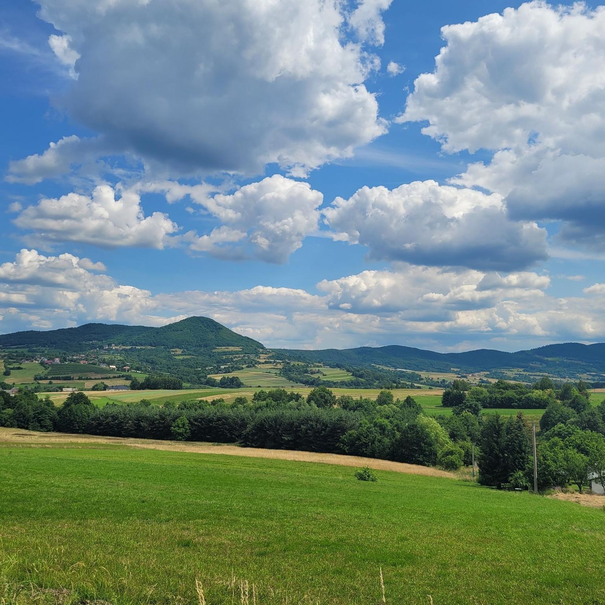
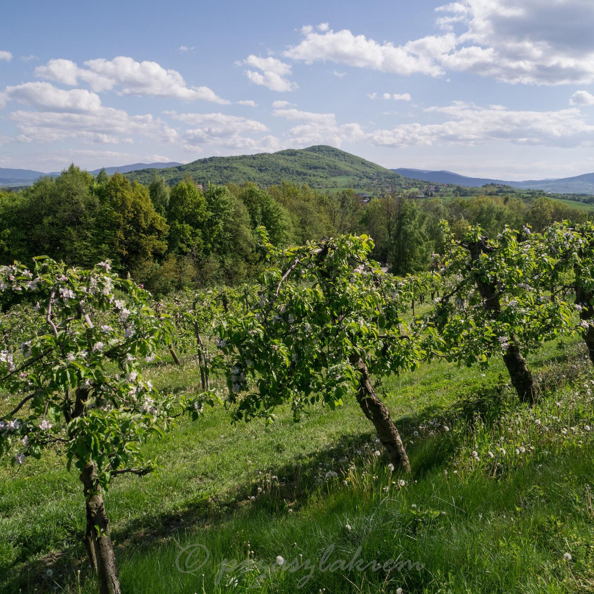
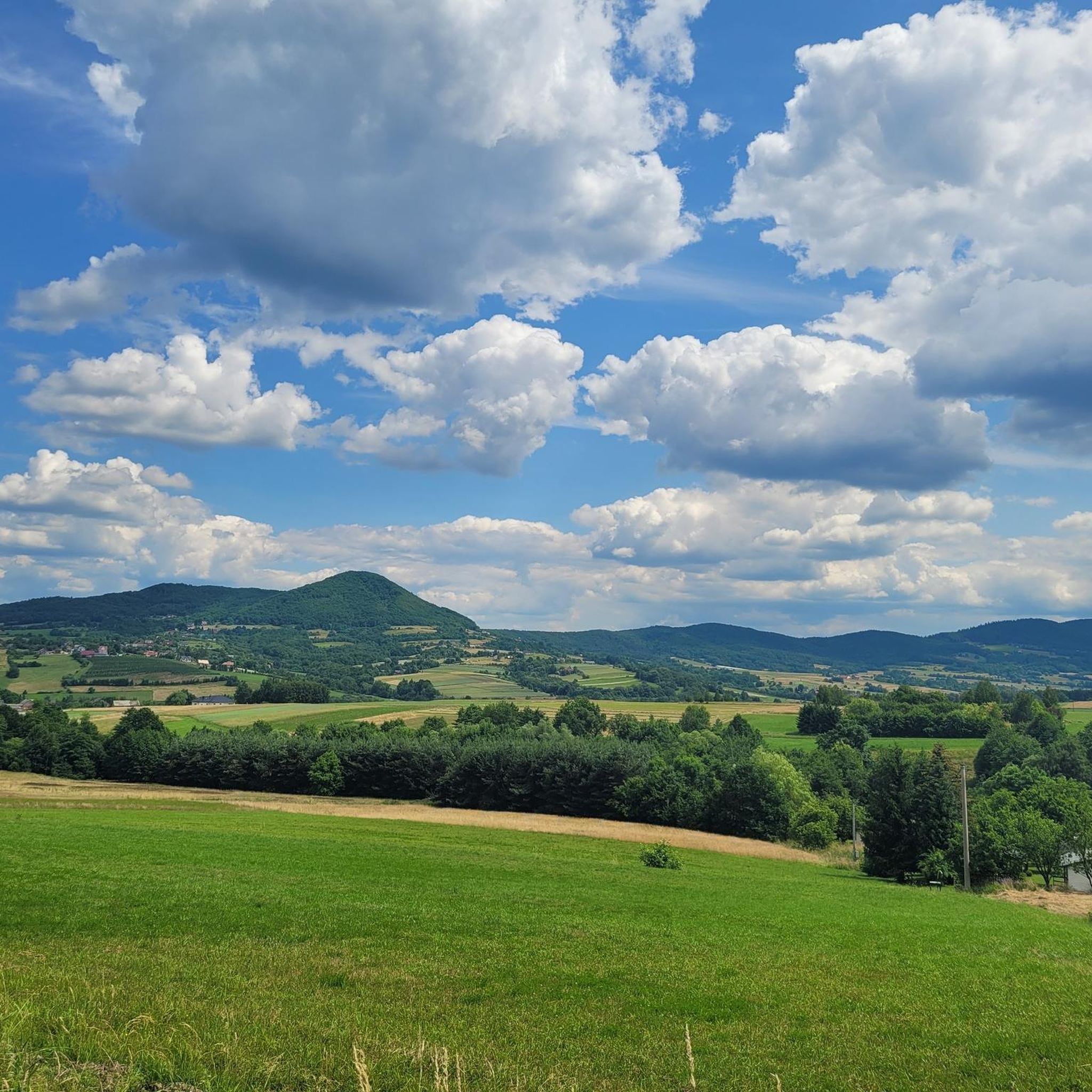
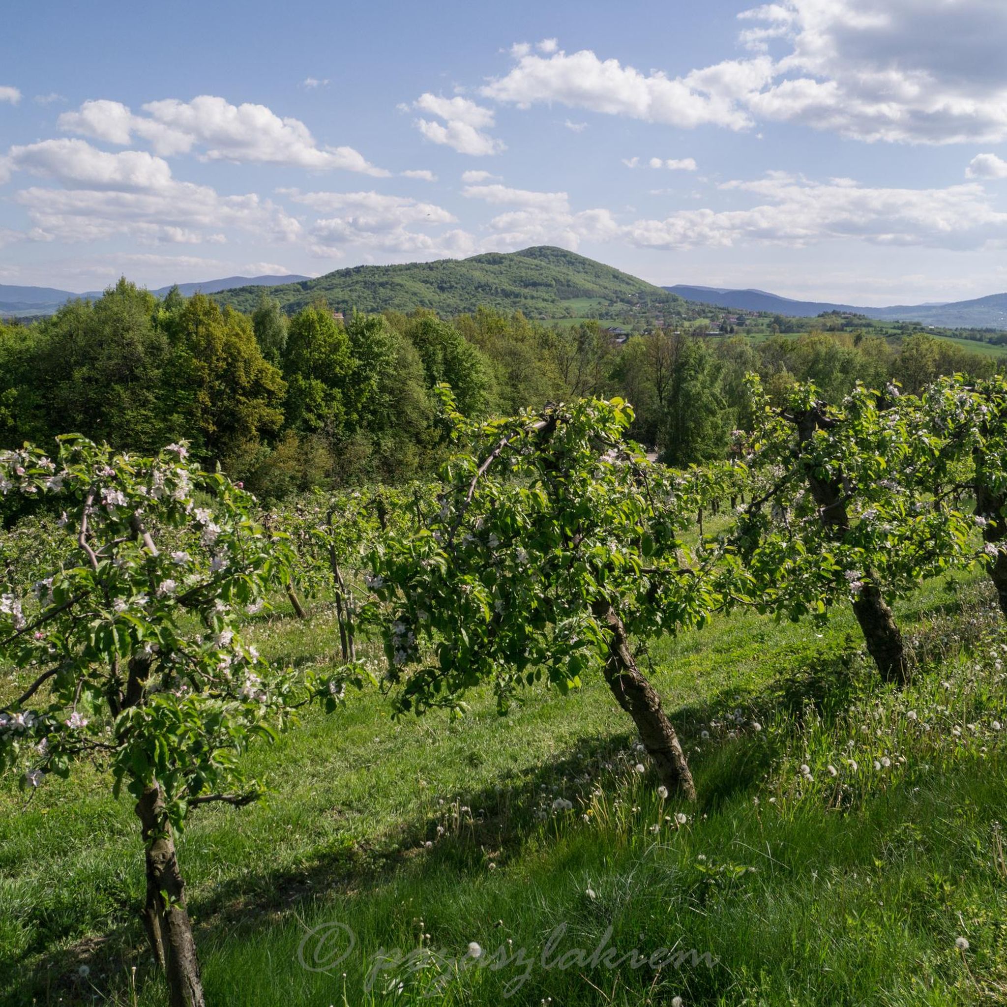

Tips from the Community

The turn of the red trail towards Łysina before the Observatory to the right.
0
0


Near the summit there isn't much to see, but it's worth going a bit further along the red trail, and there awaits a fabulous view :)
0
0

A nice route through the forest
0
0

A quiet route for family trips 🍁🌲🍂☀️🚶♀️
0
0

Small tripp with beautiful views also with four climbs and one long descent
0
0

One of the 102 peaks required for the Discover the Beskid Wyspowy 102 Islands badge
2
0
A few benches for resting
2
0
Frequently Asked Questions
What is the typical difficulty level for mountaineering routes in Raciechowice?
The mountaineering routes around Raciechowice are generally considered moderate. While not technical mountaineering, many trails offer experiences akin to demanding mountain ascents, requiring good physical fitness, sure-footedness, and sturdy footwear. Some routes are comparable to T4-T6 on the Swiss Alpine Club (SAC) scale, indicating a need for some alpine experience.
Are there any circular mountaineering routes available in Raciechowice?
Yes, all the mountaineering routes highlighted in this guide are circular, offering convenient starting and ending points. For example, you can explore the Lubomir loop from Węglówka, which is a 3.9-mile (6.2 km) trail, or the longer Kamiennik Północny – Kudłacze PTTK Mountain Hut loop from Poręba, spanning 6.1 miles (9.8 km).
What kind of terrain can I expect on the mountaineering trails near Raciechowice?
You can expect varied mountainous terrain with significant elevation changes. The region features mountain peaks and established trail networks that wind through diverse landscapes. These paths often present challenging ascents and descents, characteristic of the Lesser Poland Voivodeship.
What are some notable landmarks or attractions I can see along the mountaineering routes?
Several interesting landmarks and natural features are accessible near the mountaineering routes. You can visit the historic Dobczyce Castle, explore the Dobczyce Open-Air Museum, or enjoy views of the Dobczyce Dam. The Kudłacze PTTK Mountain Hut also serves as a convenient resting point on some trails.
Is there a mountain hut or shelter available for hikers in the area?
Yes, the Kudłacze PTTK Mountain Hut is a prominent feature in the region, providing a convenient resting point and facilities for hikers. Routes like the Kudłacze PTTK Mountain Hut – PTTK Shelter on Kudłacze loop from Poręba incorporate this hut into their itinerary.
Are there any viewpoints offering scenic vistas along the trails?
Absolutely. The mountainous terrain around Raciechowice provides numerous opportunities for rewarding views. You can find viewpoints offering expansive perspectives of the landscape, such as the View of a lake in southern Poland or the View of Dobczyce, Dobczyce Lake, and the Mountains. The Śnieżnica Summit also offers panoramic sights.
What do other mountaineers say about the routes in Raciechowice?
The mountaineering routes in Raciechowice are highly rated by the komoot community, with an average score of 4.9 stars from over 15 reviews. Mountaineers often praise the varied terrain, challenging ascents, and the rewarding views from the mountain peaks.
Are there longer mountaineering routes for more experienced hikers?
Yes, for those seeking a longer challenge, the PTTK Shelter on Kudłacze – Kudłacze PTTK Mountain Hut loop from Węglówka covers approximately 8.3 miles (13.3 km) and involves over 500 meters of elevation gain, typically taking around 4 hours and 14 minutes to complete.
Is it possible to access the trailheads using public transport?
While specific public transport details to individual trailheads are not provided, Raciechowice is a rural gmina in Poland's Lesser Poland Voivodeship. It's advisable to check local bus schedules or consider driving to access the starting points of the mountaineering routes.
Are there any routes that start from the Kudłacze area?
Yes, you can find routes starting directly from Kudłacze. For instance, the PTTK Shelter on Kudłacze – Kudłacze PTTK Mountain Hut loop from Kudłacze is a 6.8-mile (11.0 km) loop that explores the area around the mountain hut.
What is the best time of year to go mountaineering in Raciechowice?
The region is suitable for outdoor activities across multiple seasons. However, for strenuous mountain hiking, spring, summer, and early autumn generally offer the most favorable weather conditions. Always check local forecasts before heading out, especially for higher elevations.
Are there any cafes or places to eat near the hiking areas?
While the focus is on mountaineering, the region does offer amenities. The Kudłacze PTTK Mountain Hut provides food and respite. Additionally, the Kuter Port is a restaurant located near the Dobczyce Lake area, which is accessible from some routes.
Most popular routes around Raciechowice
Most popular attractions around Raciechowice

Get inspired with the komoot mobile app


Explore more
Browse the best Mountain Hikes & Routes in other regions.
