The best gravel rides around Montferrer
4.5
(3)
25
riders
6
rides
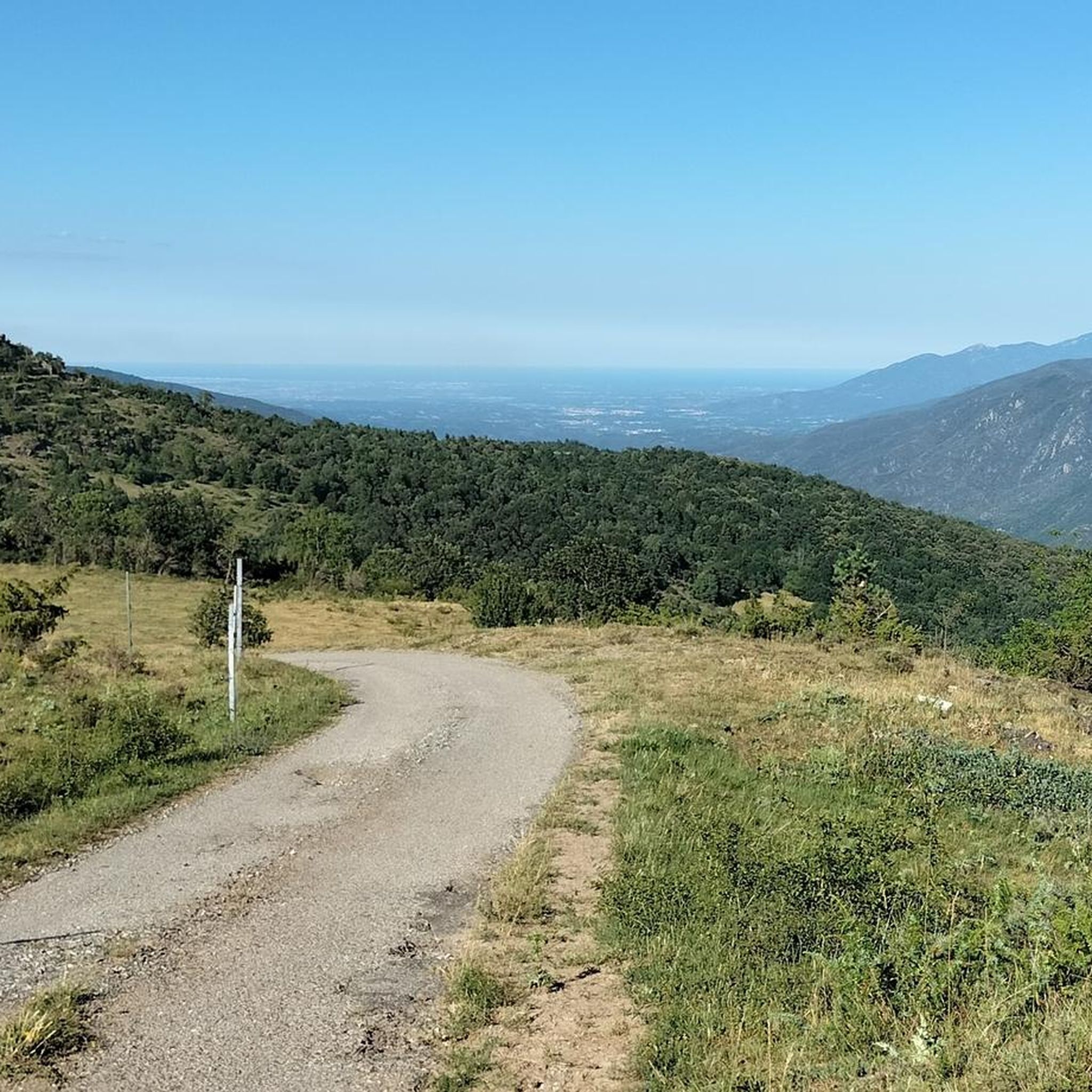
Gravel biking around Montferrer offers diverse terrain within the Pyrénées-Orientales department of France. The region is characterized by its majestic Catalan Pyrenees mountains, featuring green valleys, lush forests, and challenging mountain passes. Riders can expect a mix of terrain, from rolling landscapes to significant elevation gains, often on extensive networks of forest tracks and low-traffic secondary roads.
Best gravel bike trails around Montferrer
- The most popular gravel bike trail is Pirinexus le Tech – Palalda loop from Amélie-les-Bains-Palalda, a…
Last updated: May 24, 2026
5
riders
20.8km
02:02
700m
700m
Hard gravel ride. Very good fitness required. Mostly paved surfaces. Suitable for all skill levels.
4.0
(1)
5
riders
Hard gravel ride. Very good fitness required. Mostly paved surfaces. Suitable for all skill levels.

Sign up for free
5.0
(2)
5
riders
17.4km
01:29
400m
410m
Moderate gravel ride. Good fitness required. Mostly paved surfaces. Suitable for all skill levels.
5
riders
18.5km
01:29
500m
500m
Hard gravel ride. Very good fitness required. Mostly paved surfaces. Suitable for all skill levels.
3
riders
55.5km
04:06
1,540m
1,540m
Hard gravel ride. Very good fitness required. Mostly paved surfaces. Suitable for all skill levels.
Our route recommendations are based on thousands of hikes, rides, and runs completed by other people on komoot.
Start today with a free account
Your next adventure awaits.
Login or Signup
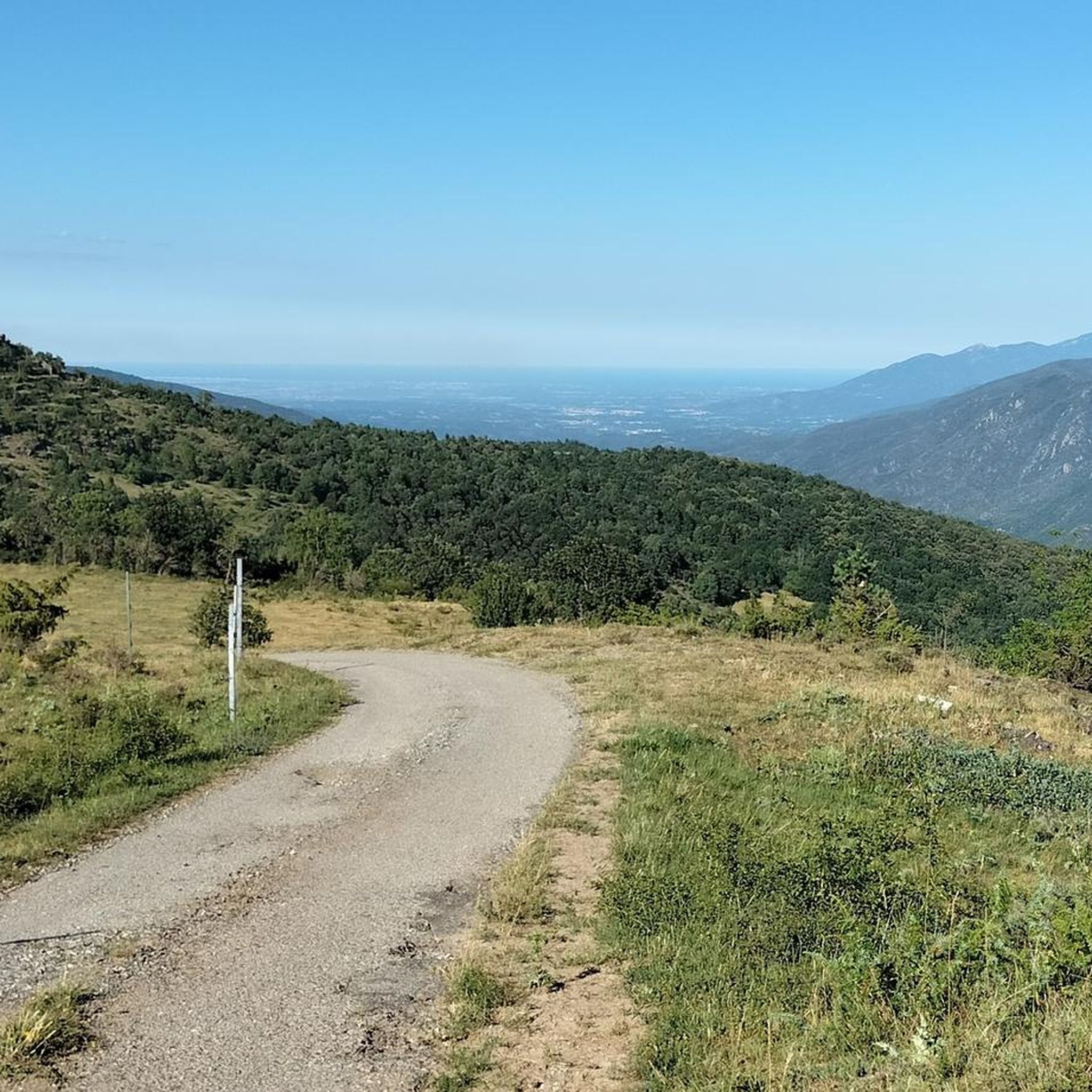
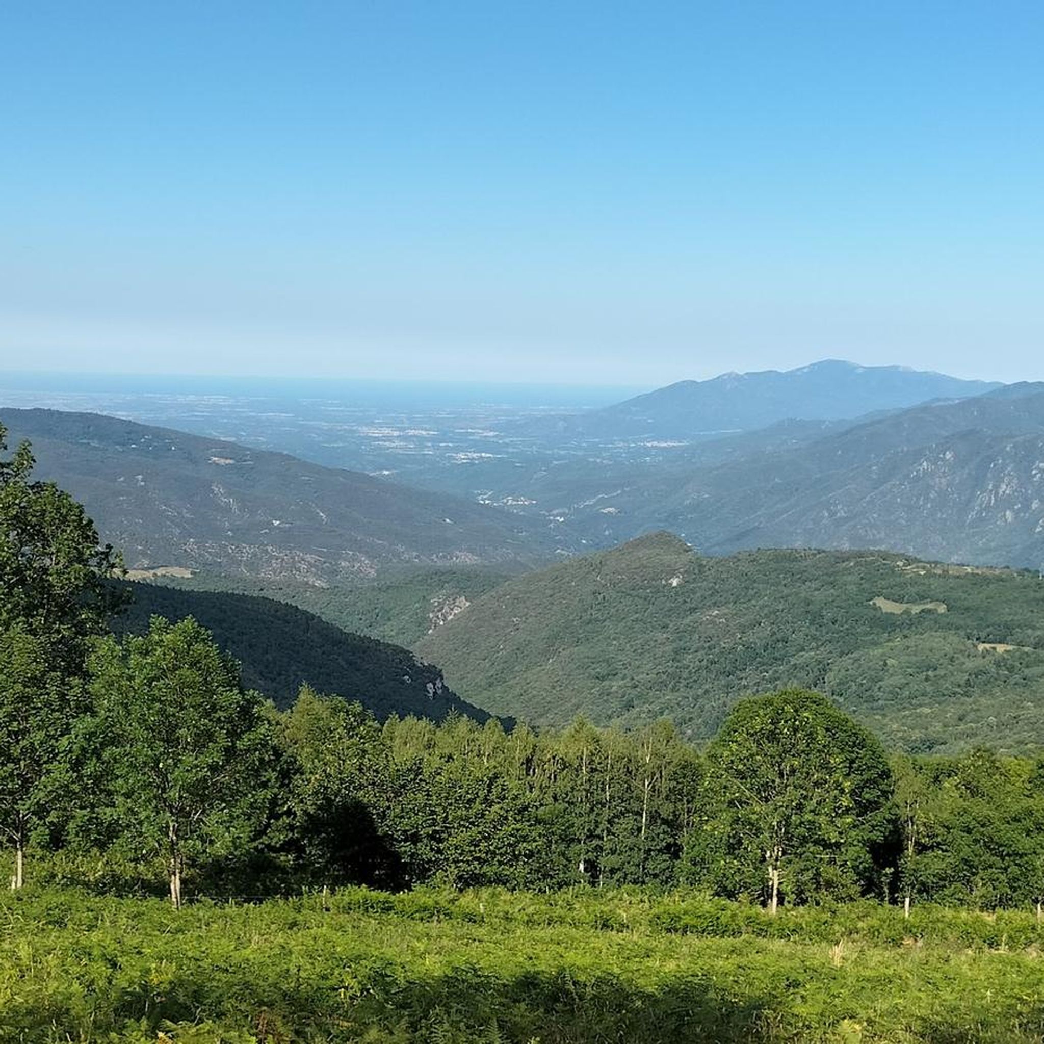
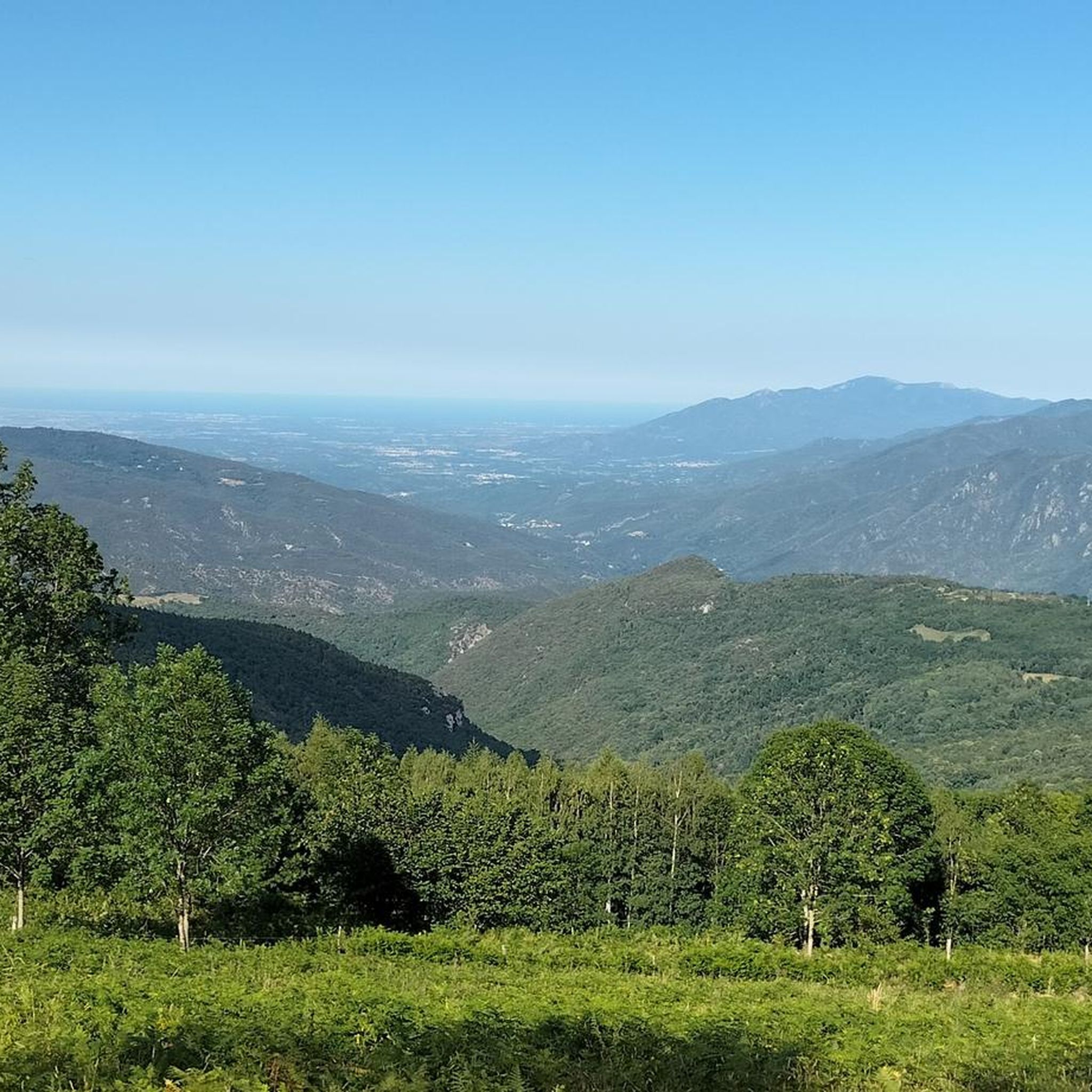
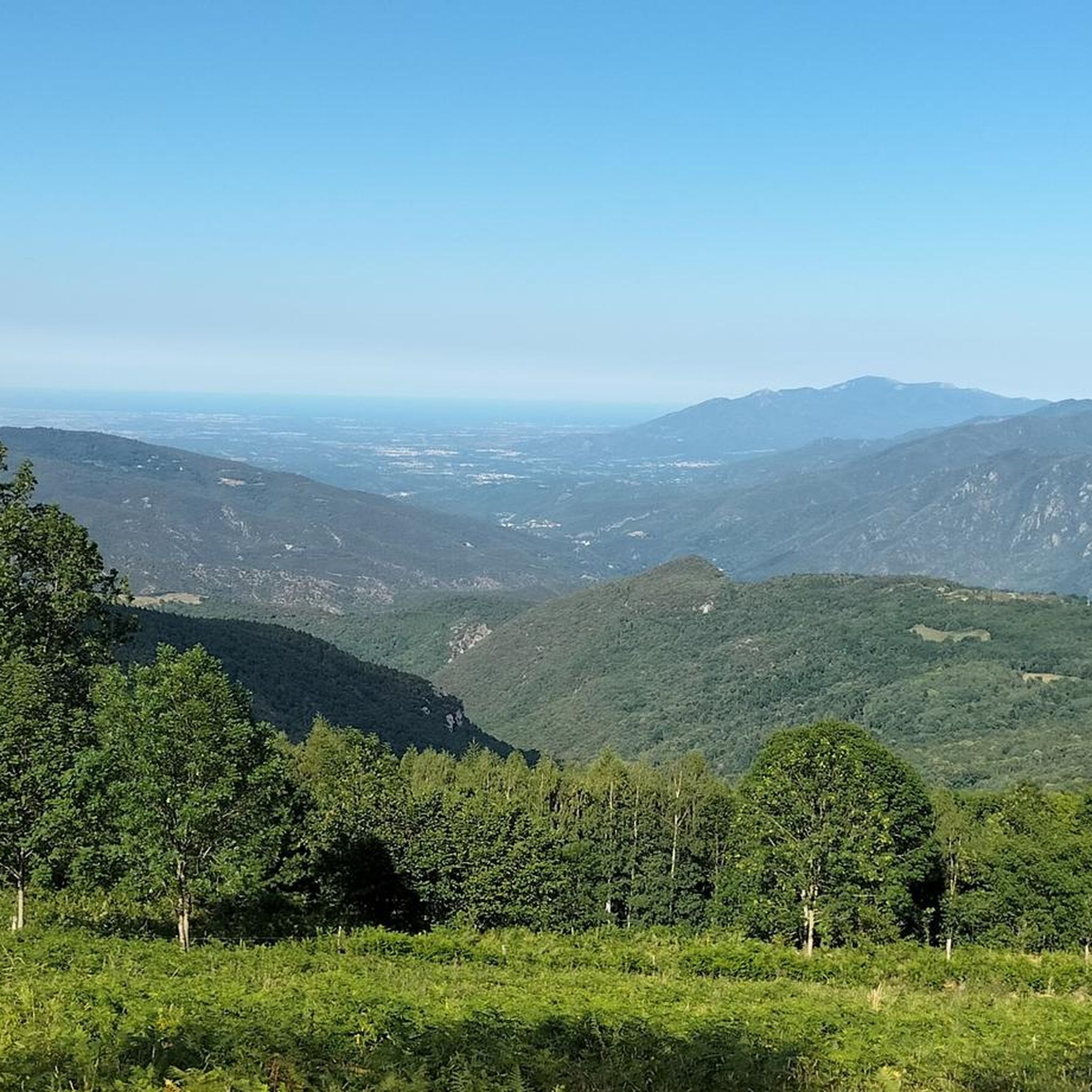
Tips from the Community


Don't be fooled by the name, the only thing left of the Hostal is its name. However, it serves as a reference point. From here you can take the route to Albanyá, to Bassegoda or to France (Vilarouge and St Llorenç de Cerdans)
0
0


The panel shows a graphic representation of the landscape seen from that point. It includes important geographical references, such as mountains, towns, rivers or coastal areas, allowing visitors to identify the locations they are seeing in the distance.
0
0
Today, it is a reference point for cyclists and hikers who follow routes such as the Camí de l'Exili or mountain routes in the Bassegoda and Albanyà region. It is known as a landmark on several hiking routes due to its strategic location in the border area. Although it is not a "hostel" in the modern sense, its name retains that historical sense of being a resting place on old trade and transit routes.
0
0
Hostal de la Muga is located in an area that offers stunning natural views and is a common stop for those who enjoy long-distance routes or cycle tourism in the area.
1
0
The village has a rich medieval history and has retained its authenticity. Its Romanesque church, the Église Saint-Martin, dating from the 12th century, is a beautiful example of the religious architecture of the region. Inside, you can admire frescoes and a sculpted baptismal font, which bear witness to the historical past of the place.
0
0
Frequently Asked Questions
How many gravel bike trails are available around Montferrer?
There are 9 gravel bike trails around Montferrer, offering a variety of experiences for riders. Most of these routes are considered difficult, with one moderate option available.
What kind of terrain can I expect on gravel bike trails in Montferrer?
The terrain around Montferrer is diverse, ranging from rolling landscapes to challenging mountain passes. You'll encounter extensive networks of forest tracks and low-traffic secondary roads, with significant elevation gains common. The region is defined by its majestic Catalan Pyrenees mountains, green valleys, and lush forests.
Are there any family-friendly gravel biking options near Montferrer?
While many routes in Montferrer are rated as difficult, the region's extensive network of forest tracks and low-traffic secondary roads means there are often gentler sections. For specific family-friendly routes, it's best to check individual tour details for elevation profiles and surface types to ensure suitability for all ages and skill levels.
What are some notable natural features or viewpoints along the gravel routes?
The Montferrer area offers stunning Pyrenean mountain scenery. You can find routes that lead to incredible viewpoints like Pla Guillem or offer a Panoramic View of the Canigou. The region is also home to significant peaks such as Canigou and various mountain passes like Coll d'Arès.
What is the best time of year for gravel biking in Montferrer?
The Pyrenees region offers excellent gravel biking opportunities. While the text doesn't specify exact seasons, the mention of 'snowy peaks at higher elevations' suggests that late spring through early autumn would likely be ideal, avoiding winter snows and benefiting from pleasant temperatures for mountain riding.
Are there any circular gravel bike routes available?
Yes, many of the gravel routes around Montferrer are designed as loops. For example, you can try the moderate Coustouges – Hostal de la Muga (Ruins) loop from Coustouges, which takes you through the borderlands.
What do other gravel bikers enjoy most about Montferrer?
The area is highly rated by the komoot community, with an average score of 4.5 stars from over 5 reviews. Riders often praise the diverse terrain, the extensive network of trails, and the breathtaking Pyrenean mountain scenery that makes for an exhilarating experience.
Are there any longer, more challenging gravel routes for experienced riders?
Absolutely. For experienced riders seeking a challenge, the Tech Greenway – Le Tech loop from Arles-sur-Tech is a difficult 44.4 km route with significant elevation changes, offering an epic adventure through the region's diverse landscapes.
Can I find routes that pass through or near historical sites?
While the routes primarily focus on natural landscapes, the region itself is rich in history. The nearby historic town of Arles-sur-Tech is just 6 km from Montferrer, and the Vauban fortifications in Villefranche-de-Conflent (24km) and Mont-Louis (37km) offer cultural excursions within a reasonable distance, which could be combined with a ride.
What is the longest gravel bike trail in the Montferrer area?
The longest gravel bike trail listed is the Tech Greenway – Le Tech loop from Arles-sur-Tech, which spans 44.4 km and is rated as difficult.
Are there any routes that offer a mix of paved and unpaved surfaces?
Yes, gravel routes in the Pyrénées-Orientales are known for their versatility, often incorporating a mix of mostly paved surfaces, forest tracks, greenways, and low-traffic secondary roads. This blend allows for comfortable riding on both tarmac and trails, perfect for exploring the diverse terrain.
What is the elevation gain like on the gravel trails around Montferrer?
Gravel biking in Montferrer often involves significant elevation gains, reflecting the mountainous Pyrenean landscape. For example, the difficult La Forge del Mitg (school) – Sagué Pass loop from Saint-Laurent-de-Cerdans features nearly 800 meters of ascent, navigating through mountainous terrain.
Most popular routes around Montferrer
Most popular attractions around Montferrer

Get inspired with the komoot mobile app


Explore more
Browse the best Gravel rides in other regions.
