The best walks and hikes around Allemanche-Launay-Et-Soyer
4.7
(12)
57
hikers
11
hikes
Hiking around Allemanche-Launay-Et-Soyer offers exploration opportunities within the Marne department of the Grand Est region. The commune is characterized by a generally flat to gently rolling rural landscape, with altitudes ranging from 73 to 100 meters. It is drained by small watercourses, including the Canal de Choisel and the Ru de Choisel, and is situated within the hydrological region of the Seine basin. The area features vineyard landscapes, river valleys, and open countryside.
Best hiking trails around Allemanche-Launay-Et-Soyer
- The most…
Last updated: July 5, 2026
4.5
(2)
10
hikers
5.56km
01:24
10m
10m
Easy hike. Great for any fitness level. Easily-accessible paths. Suitable for all skill levels.
4.5
(2)
6
hikers
7.07km
01:48
20m
20m
Easy hike. Great for any fitness level. Easily-accessible paths. Suitable for all skill levels.

Sign up for free
5.0
(2)
12
hikers
28.0km
07:18
190m
190m
Hard hike. Very good fitness required. Easily-accessible paths. Suitable for all skill levels.
4.5
(2)
5
hikers
5.91km
01:30
10m
10m
Easy hike. Great for any fitness level. Easily-accessible paths. Suitable for all skill levels.
4
hikers
9.83km
02:29
10m
10m
Moderate hike. Good fitness required. Easily-accessible paths. Suitable for all skill levels.
Get access to more routes and recommendations from other explorers.
Sign up for free
Already have an account?
Our route recommendations are based on thousands of hikes, rides, and runs completed by other people on komoot.
Start today with a free account
Your next adventure awaits.
Login or Signup
Popular around Allemanche-Launay-Et-Soyer

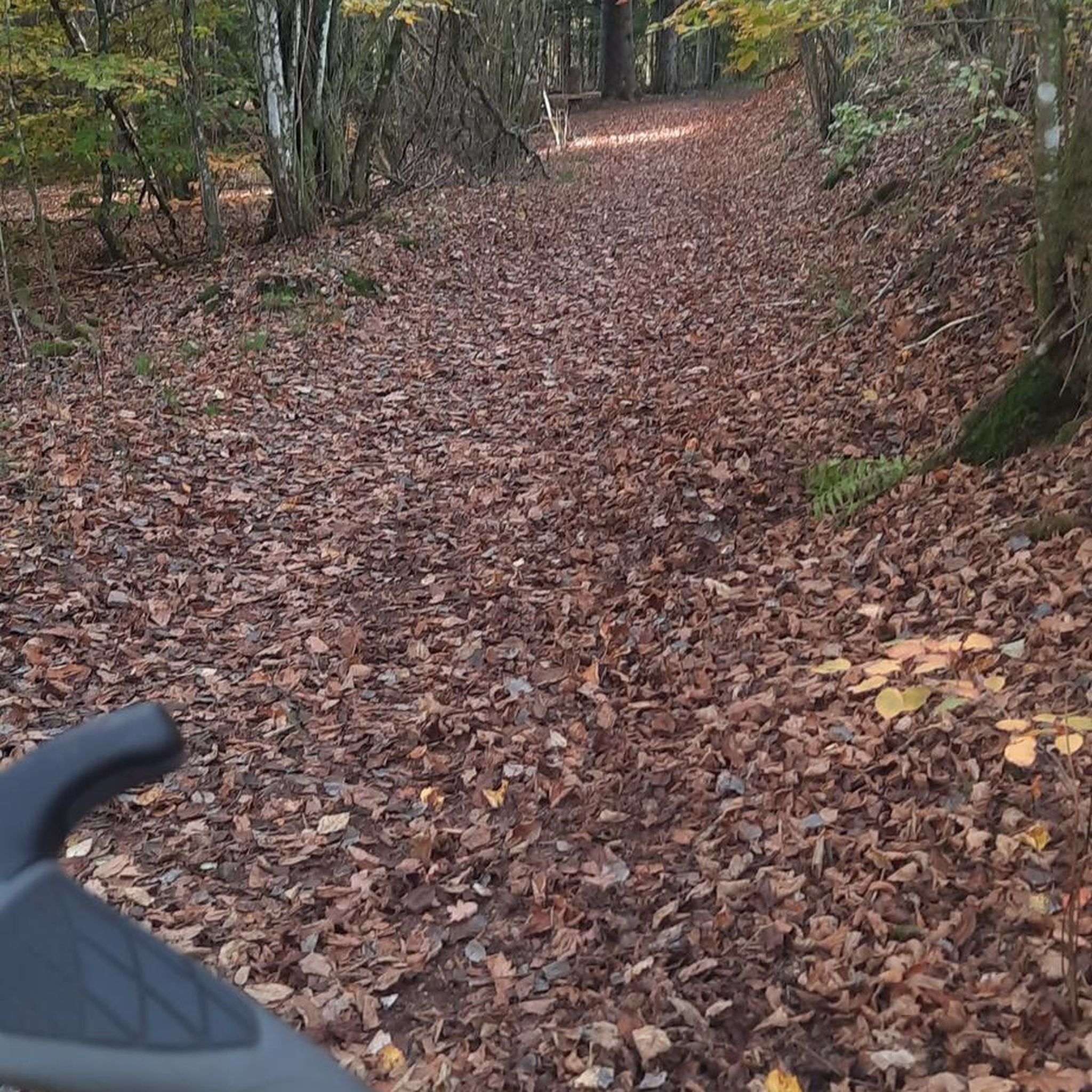

Tips from the Community

This spring house has the shape of a bottle and is popularly called that.
0
0
High point from which you can look out over the plain. In clear weather you have a very good view
0
0

The Aiguilles dam of Romilly-Sur-Seine is a hydraulic structure which regulates the level of the Seine to facilitate navigation. It is made of wooden beams called trusses and vertical planks called needles, which rise or lower depending on the flow of the river.
3
0
This location offers beautiful views of the water and surrounding countryside. The trail is largely flat and suitable for all levels of hikers. You can take your dog with this plan, but be sure to keep him on a leash. The best time to visit this trail is spring or summer, when the wildflowers and wildlife are in full bloom.
3
0

Small village church with a pretty clock on its upper part.
1
0
Frequently Asked Questions
How many hiking trails are available in Allemanche-Launay-et-Soyer?
There are over 10 hiking trails around Allemanche-Launay-et-Soyer, offering a variety of experiences from easy strolls to more challenging long-distance routes.
What kind of terrain can I expect on hikes around Allemanche-Launay-et-Soyer?
The terrain is generally flat to gently rolling, characteristic of a rural landscape. You'll find vineyard landscapes, river valleys, and open countryside, with small watercourses like the Canal de Choisel and the Ru de Choisel.
Are there easy hiking options for beginners or casual walkers?
Yes, there are 4 easy trails available. For example, the The barrage des aiguilles — loop from Romilly-sur-Seine is an easy 5.6 km route, and L'ecluse loop from Saron-sur-Aube is another easy option at 7.1 km.
What do other hikers enjoy most about hiking in Allemanche-Launay-et-Soyer?
The area is highly rated by the komoot community, with an average score of 4.6 stars from over 7 reviews. Hikers often appreciate the quiet rural setting, the vineyard landscapes, and the opportunities for peaceful walks along river valleys.
Are there any circular hiking routes in the area?
Yes, many of the trails are circular. For instance, the popular Langs de Aube loop from Anglure is a 10.1 km circular trail, and The barrage des aiguilles — loop from Romilly-sur-Seine is also a loop.
Can I bring my dog on the hiking trails?
Generally, dogs are welcome on hiking trails in rural France, especially if kept on a leash. However, always be mindful of local regulations, especially when passing through agricultural land or near livestock. It's advisable to carry water for your dog, as natural water sources might be limited or unsuitable.
Are there any family-friendly walks suitable for children?
While specific trails aren't designated 'family-friendly' in the data, the 4 easy routes, such as The barrage des aiguilles — loop from Romilly-sur-Seine (5.6 km), would be suitable for families looking for shorter, less strenuous walks through the gentle rural landscape.
What is the best time of year to go hiking in Allemanche-Launay-et-Soyer?
Spring and autumn generally offer the most pleasant hiking conditions with mild temperatures and beautiful scenery, especially through the vineyard landscapes. Summer can be warm, so early morning or late afternoon hikes are recommended. Winter hiking is possible but can be cold and potentially muddy.
Are there any notable natural features or landmarks to see while hiking?
The region is characterized by its rural charm, including vineyard landscapes and the small watercourses like the Canal de Choisel and the Ru de Choisel. While there are no prominent natural landmarks like mountains or large waterfalls directly within Allemanche-Launay-et-Soyer, the broader Marne department offers destinations like Lac du Der, which features extensive shorelines and forests for walking.
Is parking available at the trailheads?
As Allemanche-Launay-et-Soyer is a rural commune, parking is generally available in or near the starting points of trails, particularly in villages or designated public areas. It's always a good idea to check specific route details or local signage upon arrival.
Are there any long-distance or challenging hikes for experienced hikers?
Yes, there are 3 difficult trails for experienced hikers. The Source loop from Villeneuve-Saint-Vistre-et-Villevotte is a challenging 27.6 km route, and the Upper Seine Canal – Church with Joanne d'Arc loop from Baudement is another difficult 28.0 km path, offering significant distances and varied terrain.
Can I access hiking trails using public transport?
Allemanche-Launay-et-Soyer is a small rural commune, and public transport options directly to trailheads may be limited. It's advisable to plan your journey by car for the most flexibility. Some regional bus services might connect to nearby towns, but direct access to specific hiking starting points is not guaranteed.
Most popular routes around Allemanche-Launay-Et-Soyer

Get inspired with the komoot mobile app


Explore more
Browse the best Hikes in other regions.
