The best gravel rides around Autoreille
4.7
(3)
26
riders
11
rides
Gravel biking around Autoreille offers diverse landscapes within the Monts de Gy of Haute-Saône. The region is characterized by significant forest cover, arable land, and meadows, providing varied terrain for cyclists. Undulating valleys and forest roads define many of the routes, with areas like the bois de Natois and bois de la Vergenne offering extensive exploration. This mix of natural features creates a dynamic environment for gravel biking.
Best gravel bike trails around Autoreille
- The most popular gravel bike trail…
Last updated: July 4, 2026
3
riders
40.0km
03:08
560m
560m
Hard gravel ride. Very good fitness required. Mostly paved surfaces. Suitable for all skill levels.
5.0
(1)
2
riders
24.2km
01:45
240m
240m
Moderate gravel ride. Good fitness required. Mostly paved surfaces. Suitable for all skill levels.

Sign up for free
5.0
(1)
2
riders
26.8km
01:53
270m
270m
Moderate gravel ride. Good fitness required. Mostly paved surfaces. Suitable for all skill levels.
4.0
(1)
3
riders
21.8km
01:22
150m
150m
Easy gravel ride. Great for any fitness level. Mostly paved surfaces. Suitable for all skill levels.
2
riders
34.1km
02:12
390m
390m
Hard gravel ride. Good fitness required. You may need to push your bike for some segments of this route.
Get access to more routes and recommendations from other explorers.
Sign up for free
Already have an account?
Our route recommendations are based on thousands of hikes, rides, and runs completed by other people on komoot.
Start today with a free account
Your next adventure awaits.
Login or Signup
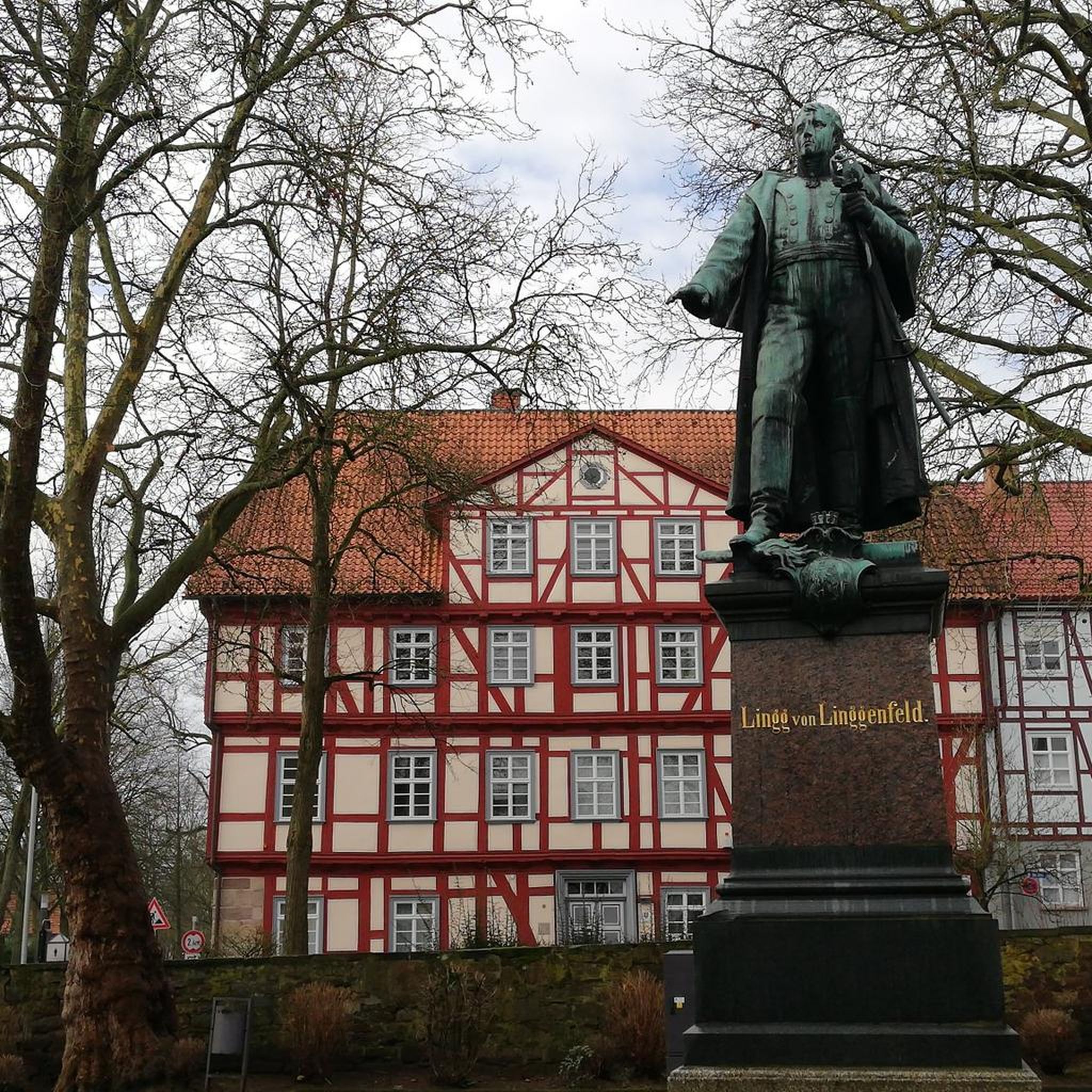

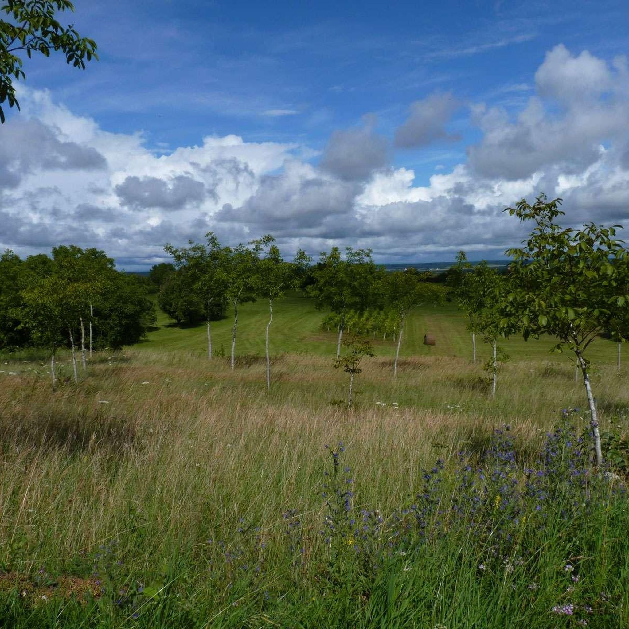
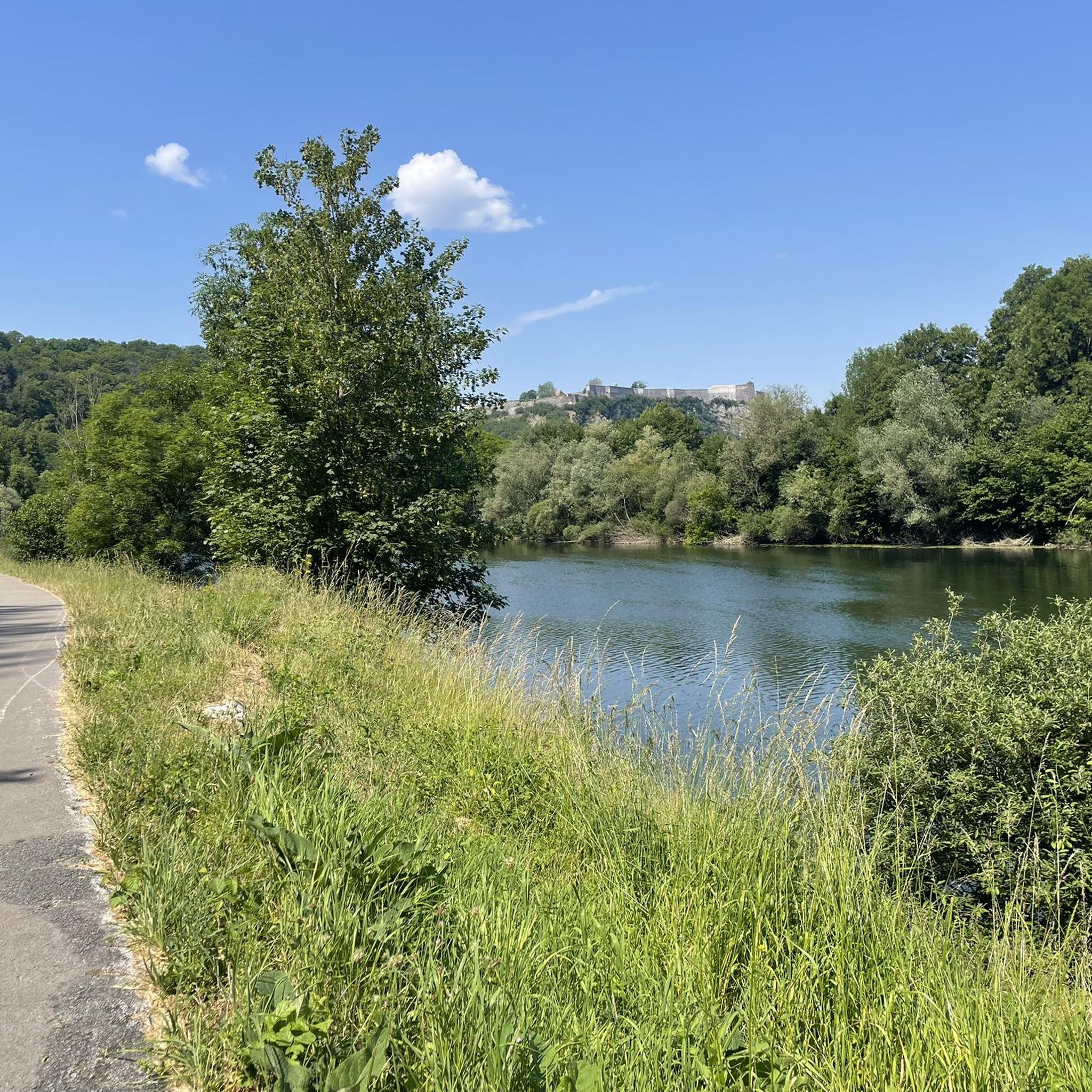
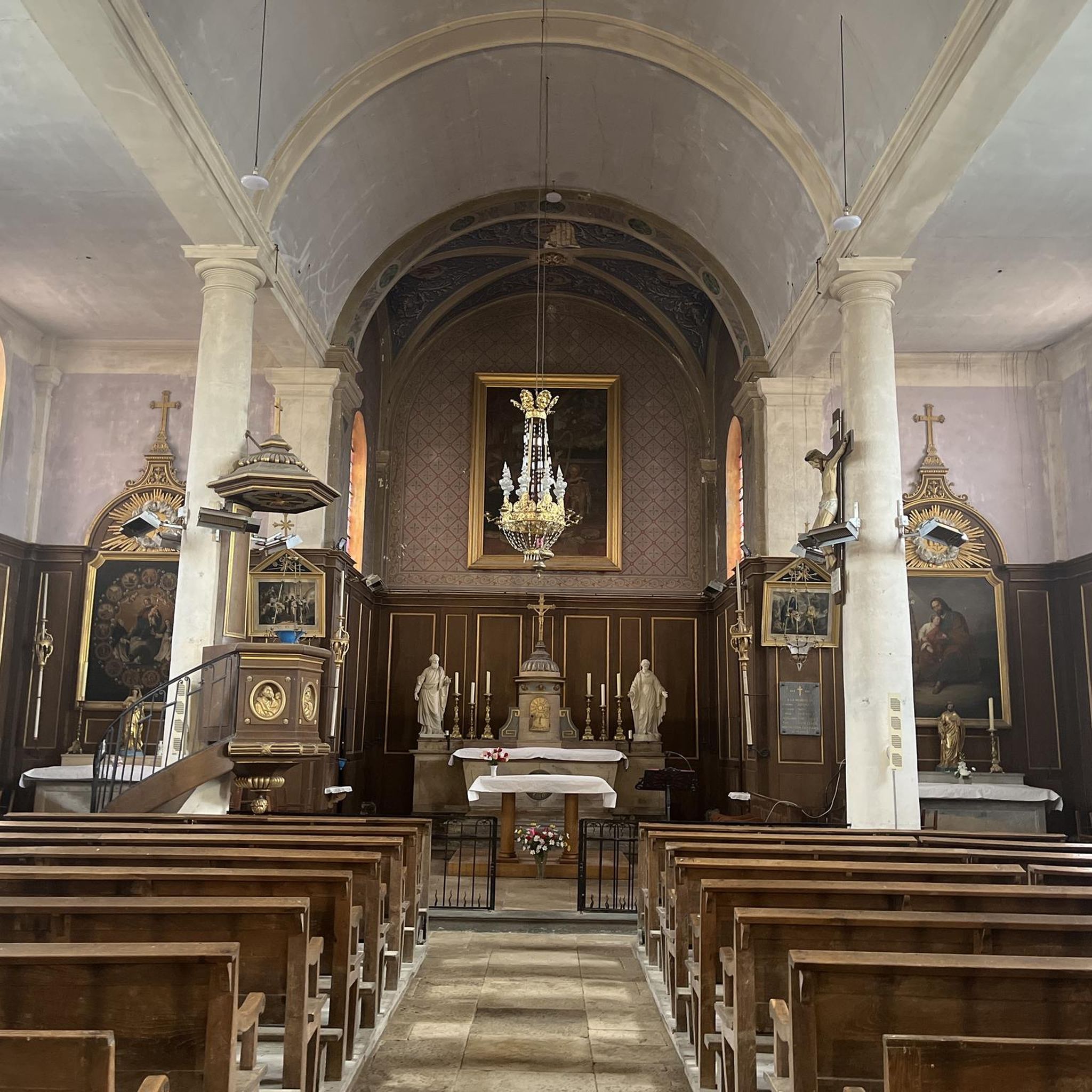
Tips from the Community

Climb in 2 stages. Nothing too steep, but it can hurt your legs at the end of the route!
0
0


Marnay Castle, built from the 11th century onwards, was remodeled several times up until the 18th century. Formerly the residence of the lords of Marnay, it still has a medieval tower, Renaissance façades and a large wooded park.
0
0
Le Paquey is a former floodplain meadow located on the outskirts of Marnay, on the banks of the Ognon River. This natural area is home to remarkable biodiversity, including wetlands, ancient hedgerows, and pastures. Designed for walking, it offers a glimpse of the valley's typical agricultural and river landscapes.
0
0

A charming town in Franche-Comté, part of the Holy Roman Empire until the Treaty of 1678. Very prosperous in the Middle Ages, thanks to its trade and artisans. A cloth market was established there as early as the 14th century, after Joan of Burgundy, Countess of Franche-Comté and Queen of King Philip V the Long of France, brought weavers from Paris. From June 14, 1354, until the Revolution, the bourgeoisie of Marnay had a charter of emancipation that guaranteed them security and prosperity: "Whoever has a house and keeps a fire in the town will be a bourgeois." This charter allowed the inhabitants to administer the town themselves and thus build ramparts and create the individual gardens that can still be seen today.
0
0

rolling road bike
0
0

First mentioned in 1225, the castle oversaw the main passage of the river.
0
0

Etuz is a commune in the Haute-Saône department. Etuz is located on the Ognon River, which forms the border with the Doubs department. Etuz is part of the urban unit of Cussey-sur-l’Ognon and the attraction of Besançon. Etuz has a fountain and two wash houses dating from the 19th century. It also has a church dedicated to Saint-Martin, which was built in the 18th century on the site of an older church. Etuz is a rural commune, where agriculture and forestry are mainly practiced.
10
4
Frequently Asked Questions
How many gravel bike trails are available around Autoreille?
There are 10 gravel bike trails around Autoreille, offering a variety of experiences for different skill levels. These routes traverse the diverse landscapes of the Monts de Gy.
What kind of terrain can I expect on gravel bike trails near Autoreille?
The terrain around Autoreille is quite varied, featuring significant forest cover, arable land, and meadows. You'll encounter undulating valleys, forest roads through areas like the bois de Natois and bois de la Vergenne, and country lanes, all ideal for gravel biking.
Are there any easy gravel bike routes suitable for beginners or families?
Yes, there is one easy gravel bike route. The Recologne Castle – View of Recologne loop from Recologne is a 13.5-mile (21.8 km) trail that takes about 1 hour 22 minutes to complete, leading through open fields and past historical landmarks.
What are some of the more challenging gravel bike routes in the area?
For those seeking a challenge, there are 4 difficult routes. One notable option is the Shelter on the Way of St. James. – Marnay Dam loop from Charcenne, a 24.9-mile (40.1 km) trail with significant elevation gain, connecting historical points through varied terrain.
What natural features or landmarks can I see along the gravel bike trails?
Many routes offer scenic views of the region's forests and valleys. While cycling, you might pass by historical landmarks like the Historic Center of Marnay or the impressive Château de Gy. The Marnay Dam – Shelter on the Way of St. James. loop from Émagny specifically features waterside paths.
Are there any specific attractions worth visiting near the gravel routes?
Beyond the trails, you can explore the Jardins Aquatiques d'Acorus, a 3-hectare 'Remarkable Garden' known for its aquatic plants and biodiversity. The historical 'Cité comtoise de caractère' of Marnay and the Château de Gy are also within easy reach for cultural diversions.
What is the best time of year for gravel biking in Autoreille?
The region's diverse landscapes are enjoyable across seasons. Spring and autumn offer pleasant temperatures and vibrant scenery. While specific seasonal advice isn't provided, the extensive forest cover suggests shaded routes in summer and potentially picturesque rides in autumn.
Are there any circular gravel bike routes available?
Yes, many of the routes around Autoreille are designed as loops. For example, the Fountain and Washhouses, Etuz – Pretty little fountain loop from Étuz is a difficult 34.6-kilometer circular route, offering a comprehensive tour of the local landscape.
What do other gravel bikers enjoy most about gravel biking in Autoreille?
The routes in Autoreille are highly rated by the komoot community, with an average score of 4.7 stars. Reviewers often praise the varied terrain, which includes extensive forests, arable land, and undulating paths, providing a dynamic and authentic natural experience.
Is there parking available near the trailheads in Autoreille?
While specific parking locations for each trailhead are not detailed, Autoreille and nearby villages like Charcenne, Émagny, and Recologne, which serve as starting points for many routes, typically offer local parking options suitable for accessing the trails.
Are there any routes that pass by interesting historical sites?
Absolutely. The In the shade of a willow tree... – Shelter on the Way of St. James. loop from Pin is a moderate 34.5-kilometer route that connects to historical points, offering a blend of natural beauty and cultural interest.
Most popular routes around Autoreille
Most popular attractions around Autoreille

Get inspired with the komoot mobile app


Explore more
Browse the best Gravel rides in other regions.
