Top 4 Mountain Passes around Sauverny
Best mountain passes near Sauverny are found in the surrounding Jura Mountains, offering diverse terrain despite Sauverny's modest elevation. This region, situated in eastern France, provides access to elevated viewpoints and natural features. The area's geography, nestled between the Jura Mountains and Lake Geneva, presents a variety of mountain passes and climbs for exploration. Visitors can find both well-known passes with panoramic views and more remote routes.
Best mountain passes around Sauverny
- The most popular mountain passes is Col de…
Last updated: June 26, 2026
Col de la Faucille (1323 m)
Highlight • Mountain Pass
Whether you attack it from …
Translated by Google •
Tip by

Combe Blanche pass
Highlight • Mountain Pass
Translated by Google •
Tip by

Sign up now to discover places like this
Get recommendations on the best single tracks, peaks, & plenty of other exciting outdoor places.
Sign up for free
Ascent to La Baudichonne
Highlight (Segment) • Climb
Translated by Google •
Tip by

Forest Road to Col de Crozet
Highlight (Segment) • Trail
Translated by Google •
Tip by
Start today with a free account
Your next adventure awaits.
Login or Signup



Tips from the Community

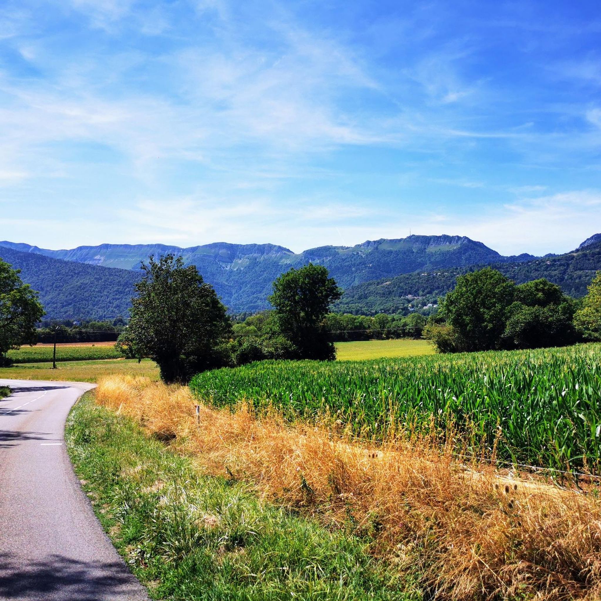
Perched at an altitude of 1,323 metres, the Col de la Faucille welcomes you with a 360-degree panorama of the Alps and the Valserine Valley. Whether you attack it from the north or the south, the spectacle is not long in coming. Its ascent from the south, on the road to Gex, has the appearance of a great Alpine pass with its many bends and countless views of the Mont-Blanc massif.
0
0

A Sunday in July, not too much traffic, but the cars and motorcycles go fast. Arriving at the top, a fire engine rushes past me, I discover a cyclist lying on the side, his bike tumbling... The view is beautiful at the top, but doesn't really offer a viewpoint, and the climb is blocked by the forest. The descent towards the lake however is nice.
1
0

Very beautiful panoramic view
0
0

9 km at an average gradient of 9.5%. Rated as "unclassified" on the myCols app. Small, shaded road with almost no traffic. Asphalt in good condition.
1
0

A wonder. Make the descent by Mijoux because the bitumen of the Vattay road is really bad.
0
0

The Col de la Faucille from Gex is 11.8 km long with a total drop of 703 m. The average gradient is 5.96% with maximum gradients of 8.1%. It is part of the Massif du Jura.
2
0
A relatively short climb (5km) with gentle inclines at the start, ending in a steeper section near the summit. The descent on the other side gives you a beautiful view of the lake below.
1
0

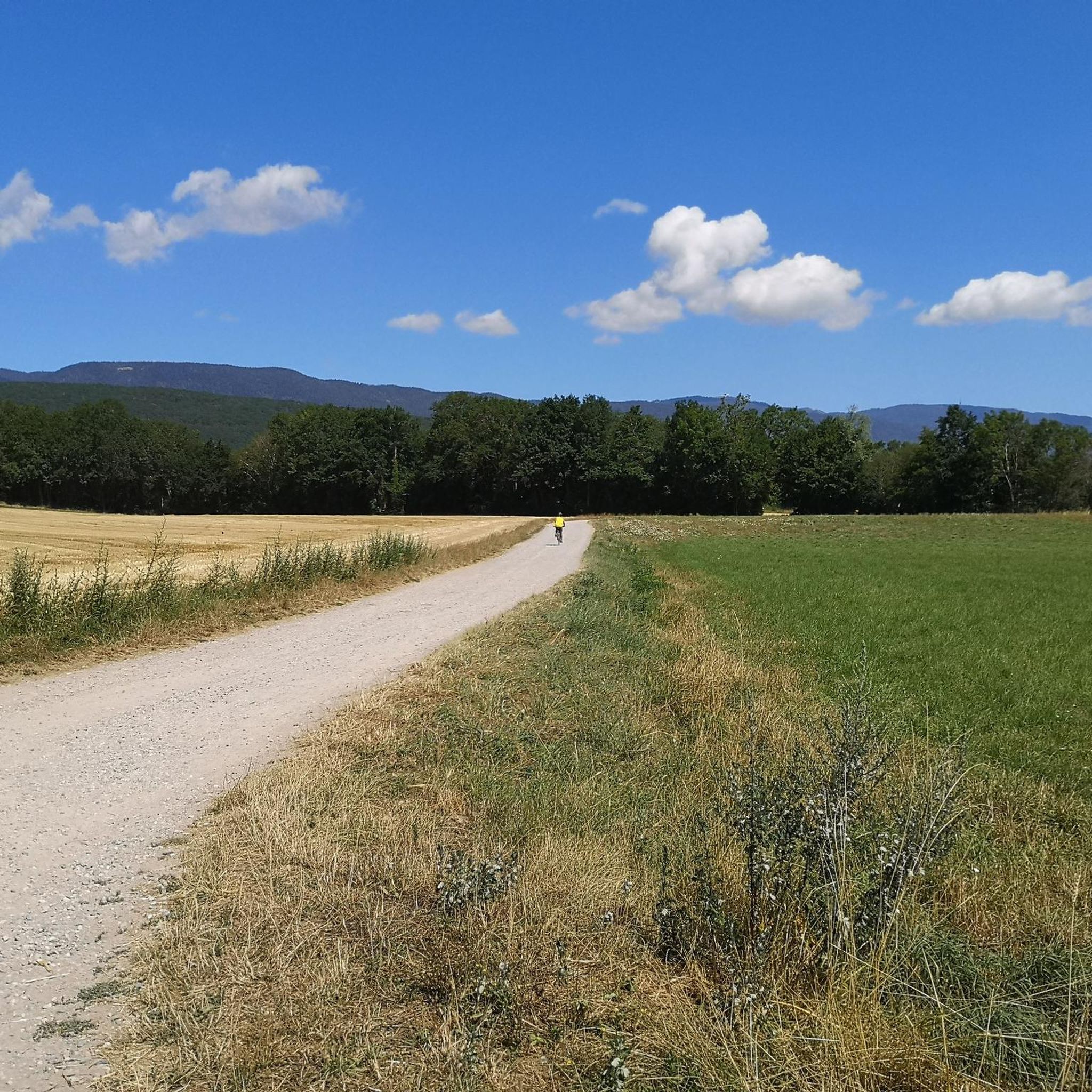
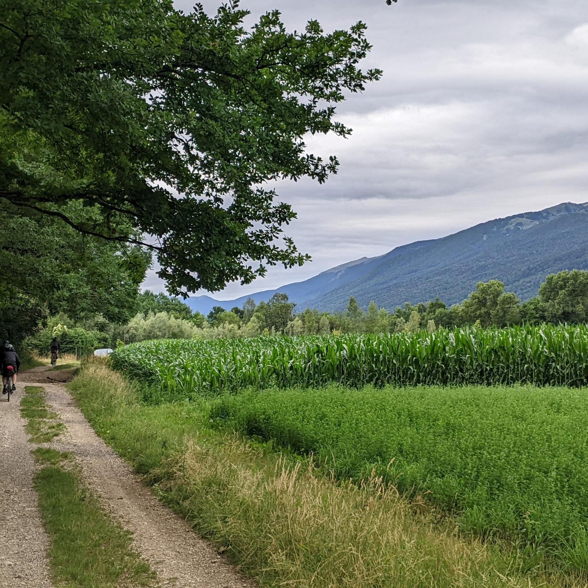
From the Col de la Faucille there are two more ways to go further up on a racing bike. This forest path leads first through a piece of forest, then through mountain pastures in the direction of the Col de Crozet. However, the asphalt ends before you reach the col.
0
0
Frequently Asked Questions
What are the most scenic mountain passes near Sauverny?
The most prominent and scenic mountain pass is the Col de la Faucille (1323 m). It offers a spectacular 360-degree panorama of the Alps and the Valserine Valley, including views of the Mont-Blanc massif.
Are there any less-trafficked mountain passes for a quieter experience?
Yes, the Combe Blanche pass is a remote option that connects the Geneva basin with the Valserine valley. It can be reached via paved forest roads from Divonne or Vesancy, offering a quieter alternative to busier passes like Col de la Faucille.
What kind of views can I expect from the mountain passes around Sauverny?
From passes like the Col de la Faucille, you can expect breathtaking panoramic views. These include the majestic Mont-Blanc massif, the wider Alps, and the picturesque Valserine Valley.
What is the best time of year to visit the mountain passes near Sauverny?
The region experiences significant seasonal variability. While specific passes might be accessible year-round, late spring through early autumn generally offers the most favorable weather for outdoor activities and clear views. Winter can bring snow, making some passes suitable for winter sports but potentially challenging for general access.
Are there challenging climbs for experienced cyclists or hikers?
Yes, for cyclists, the Ascent to La Baudichonne is a challenging climb, featuring 9 km at an average gradient of 9.5% on a small, shaded road with good asphalt and minimal traffic.
What outdoor activities can I do near the mountain passes around Sauverny?
The area around Sauverny offers a variety of outdoor activities. You can find numerous running trails, traffic-free bike rides, and mountain biking routes. For more details, explore the Running Trails around Sauverny, Traffic-free bike rides around Sauverny, and MTB Trails around Sauverny guides.
Are there specific running trails near these mountain passes?
Yes, there are several running trails in the vicinity. Options range from moderate loops like the 'Running loop from Sauverny' (5.1 km) to more difficult ones such as the 'Grilly Town Center – Mount Mourex loop from Versonnex' (15 km). You can find more information in the Running Trails around Sauverny guide.
Can I find traffic-free cycling routes near the mountain passes?
Absolutely. The region offers traffic-free cycling routes, including the 'Étang de Cessy – Panorama of the Alps loop from Sauverny' (33.6 km, easy) and the 'Climb to Vesancy – Foot of the Jura Mountains loop from Cessy' (43.3 km, moderate). Discover more options in the Traffic-free bike rides around Sauverny guide.
Are there mountain biking trails in the vicinity of the mountain passes?
Yes, mountain biking enthusiasts will find trails such as the 'Saint-Pierre Church of Gex – View of the Jura Mountains loop from Grilly' (26.3 km, moderate) and the challenging 'Downhill mountain bike trail – The Paco downhill mountain bike track loop from Sauverny' (43.3 km). Check the MTB Trails around Sauverny guide for more.
Is there a forest road that leads to other cols from Col de la Faucille?
From the Col de la Faucille, there is a Forest Road to Col de Crozet. This path leads through a forest and then mountain pastures towards the Col de Crozet, though the asphalt ends before reaching the col itself.
Are the mountain passes around Sauverny suitable for family outings?
While specific family-friendly categories aren't listed for all passes, the Col de la Faucille is popular for both challenging hikes and leisurely drives, making it accessible for families who wish to enjoy the panoramic views without extensive hiking. The paved forest roads leading to Combe Blanche pass could also be suitable for gentler walks or bike rides.
Most popular routes around Sauverny
Most popular attractions around Sauverny

Get inspired with the komoot mobile app


Explore more
See even more epic mountain passes by checking out these guides around Sauverny:
