The best MTB trails around Saint-Martin-Sur-Armançon
4.9
(6)
28
riders
9
rides
Mountain bike trails around Saint-Martin-Sur-Armançon are characterized by a gently rolling landscape, often following historic waterways like the Canal de Bourgogne. The terrain features a mix of open countryside, agricultural fields, and occasional wooded sections, with modest elevation changes. This region provides accessible routes suitable for various skill levels, often connecting charming villages and historical sites such as local chateaus.
Best mountain bike trails around Saint-Martin-Sur-Armançon
- The most popular mountain bike trail is Canal de Bourgogne – Château de Tanlay…
Last updated: July 6, 2026
8
riders
38.9km
02:06
90m
90m
Moderate mountain bike ride. Good fitness required. Suitable for all skill levels.
5.0
(1)
7
riders
22.3km
01:12
70m
70m
Easy mountain bike ride. Great for any fitness level. Suitable for all skill levels.

Sign up for free
5.0
(1)
3
riders
20.8km
01:45
260m
260m
Moderate mountain bike ride. Great for any fitness level. Advanced riding skills necessary.
3
riders
20.9km
01:45
390m
400m
Moderate mountain bike ride. Good fitness required. Advanced riding skills necessary.
2
riders
31.5km
02:16
390m
390m
Moderate mountain bike ride. Good fitness required. Advanced riding skills necessary.
Get access to more routes and recommendations from other explorers.
Sign up for free
Already have an account?
Our route recommendations are based on thousands of hikes, rides, and runs completed by other people on komoot.
Start today with a free account
Your next adventure awaits.
Login or Signup

Tips from the Community

Magnificent Exterior Trompe l'oeil Gallery
0
0

On the road to Vézelay or Santiago de Compostela, the Domaine Saint-Georges offers a welcome break. Here, you can put down your bag, enjoy a shaded picnic area and dip your tired feet in the water.
0
0

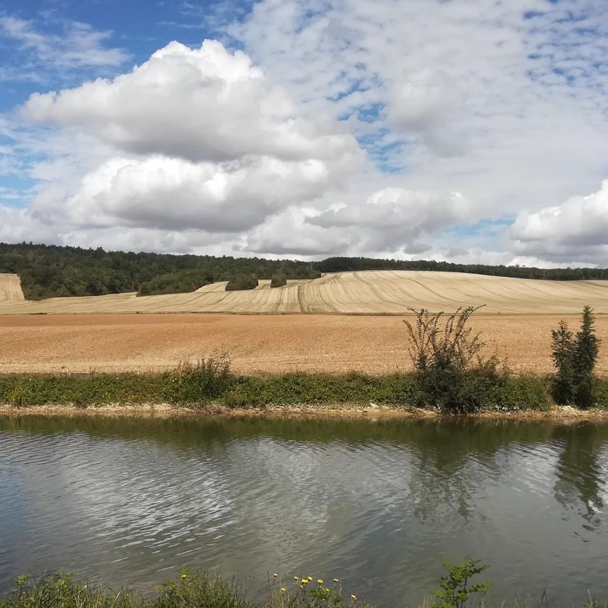
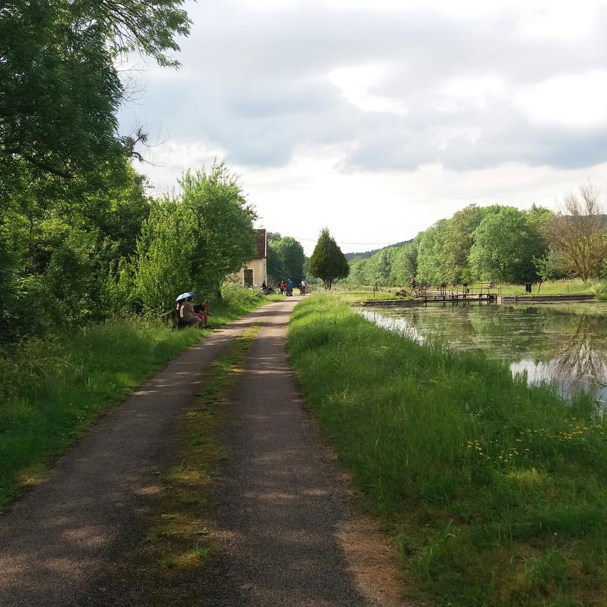
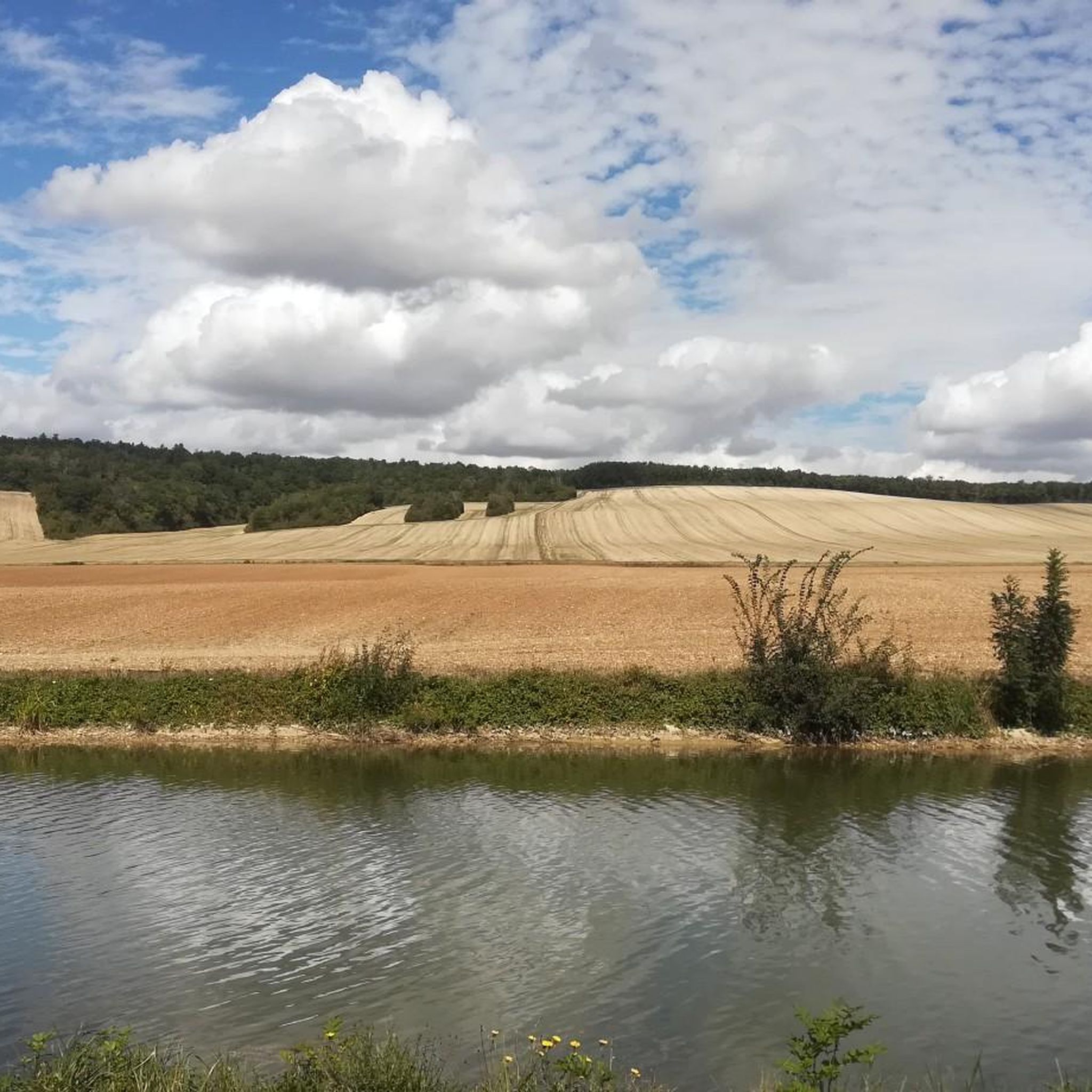
A "chemin de halage", in German "treidelpfad", which runs alongside the waterway right next to the bed of the river or canal, was an indispensable part of the transport infrastructure in earlier times. Before ships could move using motor power, horses ran along the bank and pulled the ship against the current. This was called "treideln", and that is how the "treidelpfad" got its name. Where these paths directly on the bank have been preserved, they are now popular with hikers and cyclists.
1
0

The Burgundy Canal is 242 km long, it connects the Seine basin to the Rhône basin. Previously used for moving goods, but since the 1960s the canal has been used almost exclusively for recreational boating.
0
0

The Dionne pit is a karst source called the Vauclusian source, located in the city center of Tonnerre. It is fed by the infiltration of precipitation into the surrounding limestone plateau as well as by the losses of at least one river. The Dionne pit is remarkable for its flow and the size of its hydrogeological network which extends to more than 40 km. His presence is at the origin of the creation of the city of Tonnerre. An elaborate washhouse was built around the spring in the 18th century. Wikipedia
0
0

A real must-see - this round wash house around a turquoise green source is unique in its kind and well worth the detour.
0
0

Set up for the section of the canal opened to traffic in 1832 (from Pont-de-Pany to Tonnerre). Located on the right bank, the lock keeper's house is built of coated rubble stones, with mechanical tiles. A lean-to extension extends the right side of the roof of the house. Extremely remodeled, the house today opens through a semi-circular door, in the extension.
1
0
Château de Béru is a family wine estate of around fifteen hectares. The wines are produced without any additives. The breeding process is long and carried out in accordance with cycles and seasons. Since 2012, certain vintages have been bottled without added sulphites. You can stay in one of the 4 guest rooms at Château de Béru. During your stay you can enjoy a walk in the Clos Béru vineyards and in the Château park, as well as the swimming pool in summer. For more information and reservations: https://www.chateaudeberu.com/
1
1
Frequently Asked Questions
How many mountain bike trails are available around Saint-Martin-Sur-Armançon?
There are over 10 mountain bike trails in the Saint-Martin-Sur-Armançon area, offering a variety of experiences for different skill levels.
Are there easy mountain bike trails suitable for beginners or families?
Yes, the region offers several easy mountain bike trails. For instance, the Canal de Bourgogne at Tanlay – Château de Tanlay loop from Lézinnes is an easy 15.0-mile (24.2 km) route that follows canal-side paths and rural landscapes, ideal for a relaxed ride.
What kind of terrain can I expect on mountain bike trails in Saint-Martin-Sur-Armançon?
The terrain is generally characterized by a gently rolling landscape, often following historic waterways like the Canal de Bourgogne. You'll encounter a mix of open countryside, agricultural fields, and occasional wooded sections, with modest elevation changes. The paths are typically well-suited for mountain biking.
Are there any challenging mountain bike trails in the area?
While there are no technically difficult trails, the region offers several moderate routes that provide a good workout. The Domaine Saint-Georges – Domaine Saint-Georges loop from Étourvy is a moderate 12.8-mile (20.6 km) trail with more significant elevation changes, making it a good option for those seeking a longer, more demanding ride.
What can I see along the mountain bike trails around Saint-Martin-Sur-Armançon?
Many routes offer scenic views and pass by historical landmarks. You can explore the Towpath of the Canal de Bourgogne, ride past the impressive Château de Tanlay, or visit the historic Fosse Dionne and the town of Tonnerre. Some trails also lead past the Notre-Dame Church and the Hôtel-Dieu de Tonnerre.
What do other mountain bikers enjoy most about the trails in Saint-Martin-Sur-Armançon?
The trails are highly rated by the komoot community, with an average score of 4.9 stars from over 8 reviews. Riders often praise the picturesque canal-side paths, the charming rural landscapes, and the opportunity to combine cycling with visits to historical chateaus and villages.
Are there any circular mountain bike routes available?
Yes, many of the mountain bike routes in the area are designed as loops, allowing you to start and finish at the same point. An example is the Canal de Bourgogne – Château de Tanlay loop from Lézinnes, a moderate 24.2-mile (38.9 km) trail.
What is the best season for mountain biking in Saint-Martin-Sur-Armançon?
The region is generally pleasant for mountain biking from spring through autumn. The open countryside and canal paths are particularly enjoyable in milder weather. While winter riding is possible, some paths might be muddy, and services in smaller villages could be limited.
Are there mountain bike trails that connect to towns or villages with amenities?
Absolutely. Many routes are designed to connect charming villages and towns. For instance, the Tonnerre – Château de Tanlay loop from Tonnerre starts and ends in Tonnerre, providing access to local amenities before or after your ride.
What are the typical lengths of mountain bike trails in this region?
Trail lengths vary, catering to different preferences. You can find shorter routes around 12-15 miles (20-24 km), such as the easy Tonnerre – Château de Tanlay loop from Tonnerre at 13.4 miles (21.5 km), up to longer moderate rides exceeding 35 miles (56 km).
Where can I find parking for mountain biking trails?
While specific parking details for each trail are not always listed, many routes start from or pass through villages and towns like Lézinnes or Tonnerre, where public parking is generally available. Look for designated parking areas near canal access points or village centers.
Most popular routes around Saint-Martin-Sur-Armançon
Most popular attractions around Saint-Martin-Sur-Armançon

Get inspired with the komoot mobile app


Explore more
Browse the best MTB trails in other regions.
