The best gravel rides around La Souche
4.5
(6)
41
riders
4
rides
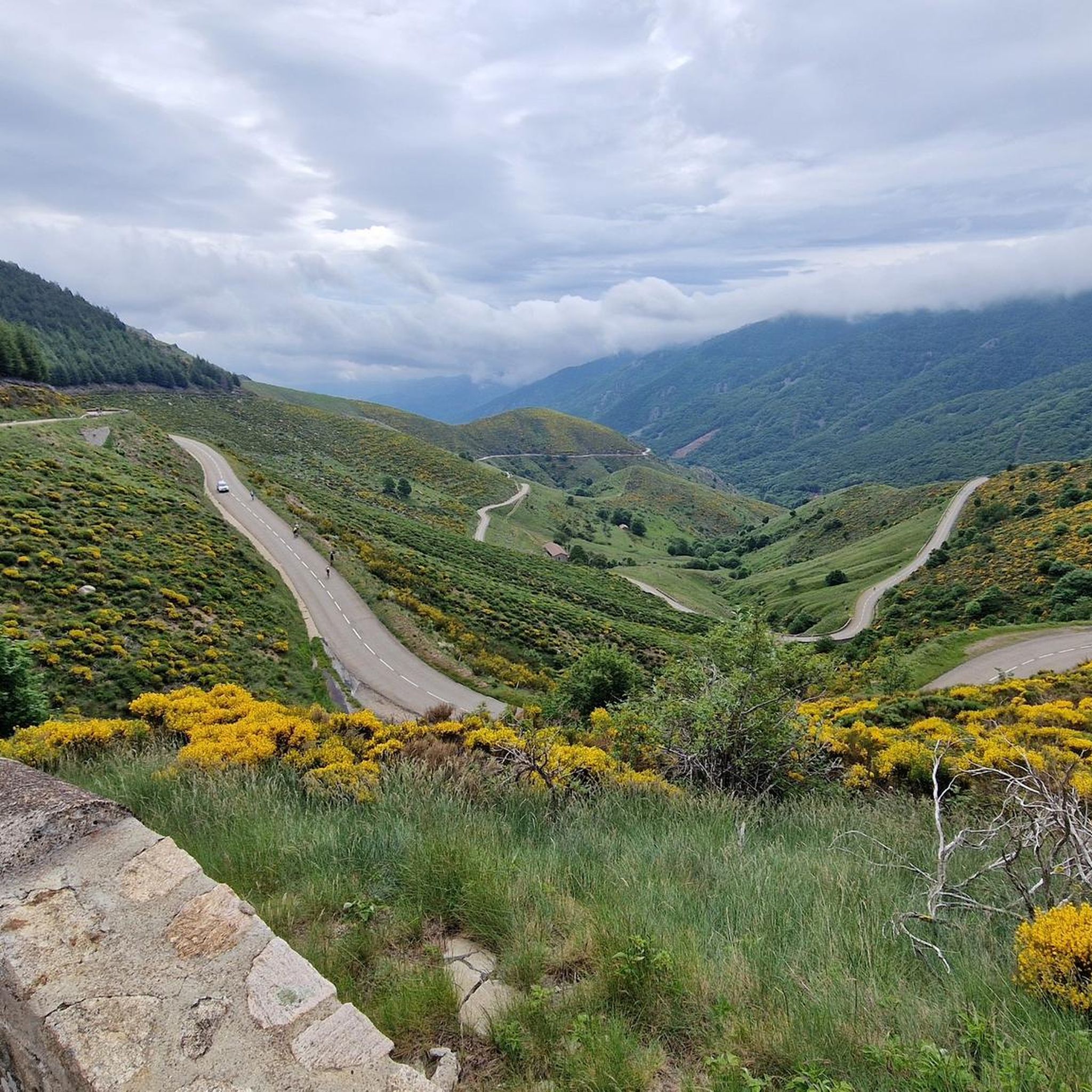
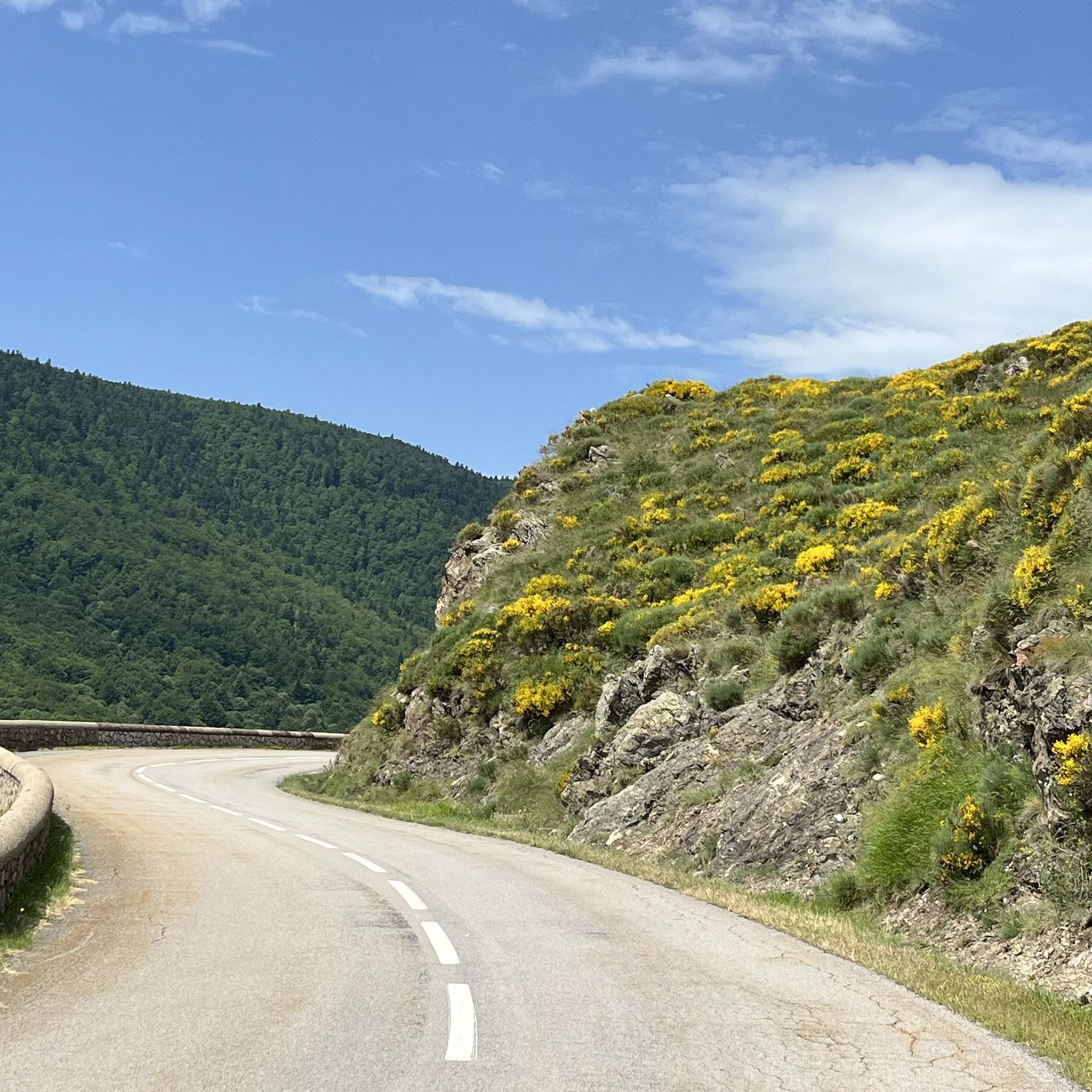
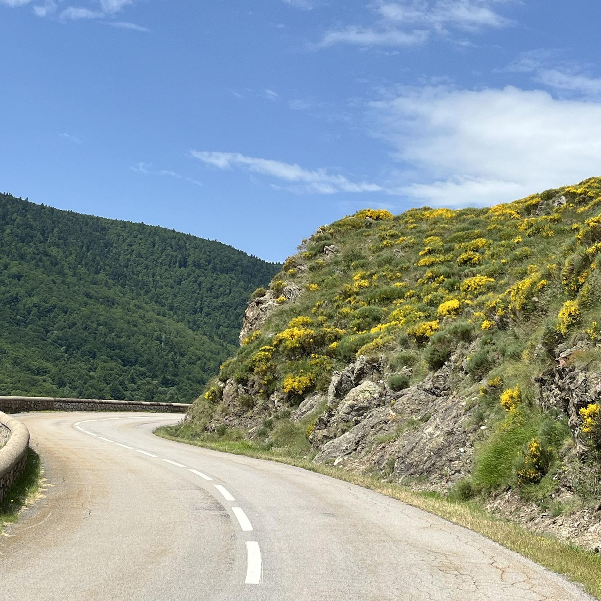
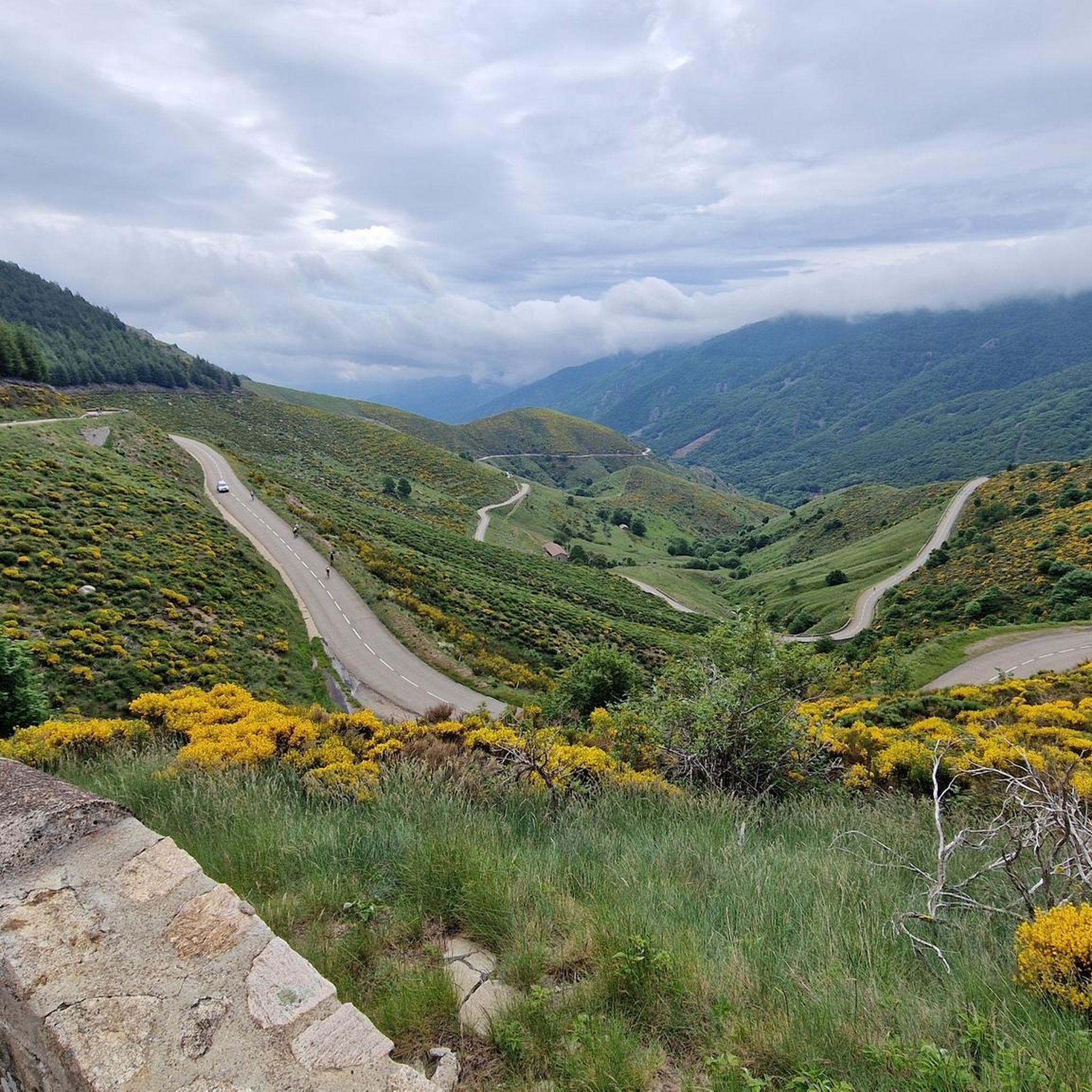
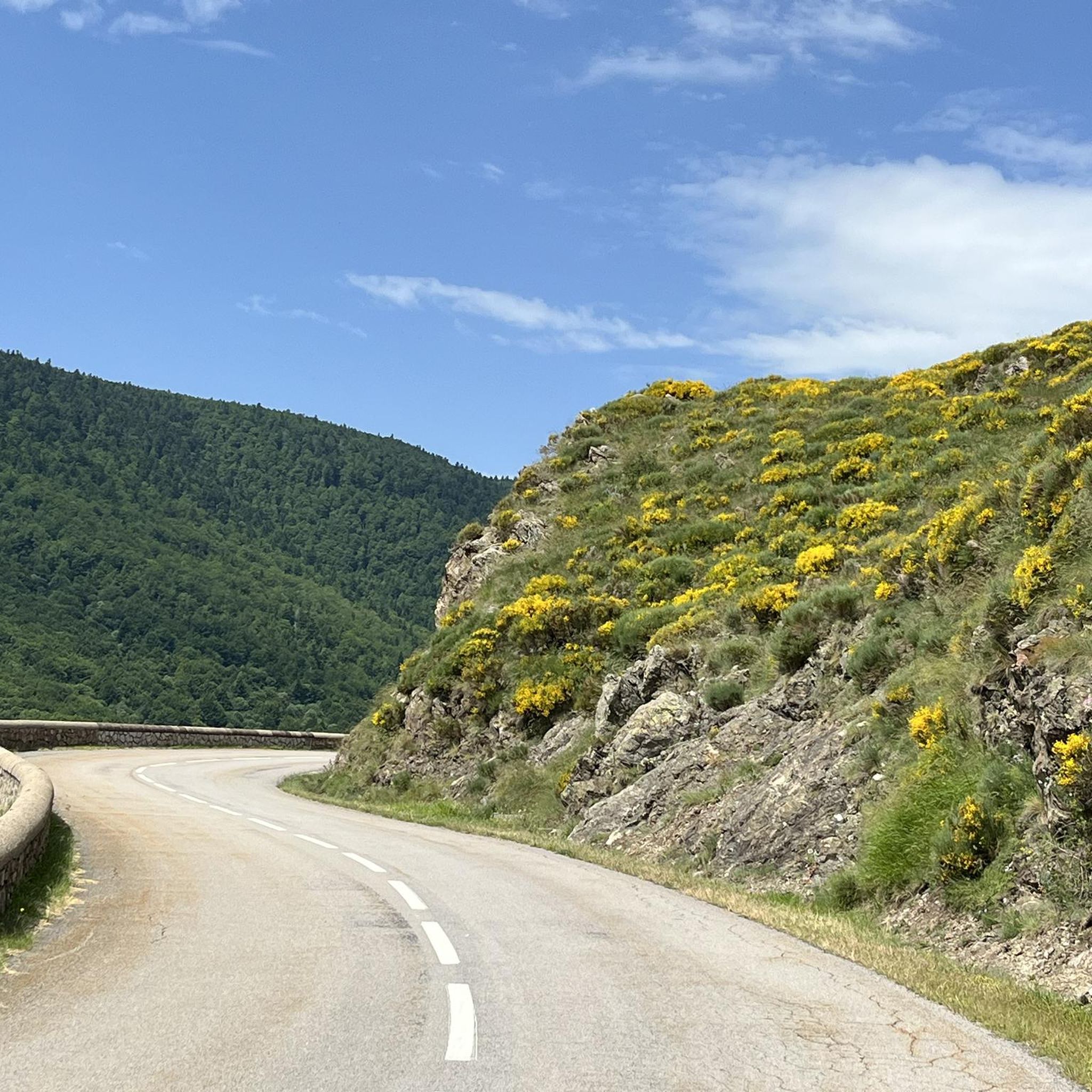
Gravel bike trails around La Souche are situated within the Cévennes Ardéchoises and Monts d'Ardèche Regional Natural Park, offering a diverse landscape for cycling. The region features significant elevation changes, with valleys and high points reaching up to 1498 meters. This varied topography provides a dynamic backdrop for gravel biking, characterized by forested paths, logging tracks, and quiet back roads. The Lignon River, originating in La Souche, contributes to the varied terrain found along many routes.
Best gravel bike trails…
Last updated: July 5, 2026
4
riders
35.4km
03:24
1,150m
1,150m
Hard gravel ride. Very good fitness required. Mostly paved surfaces. Suitable for all skill levels.
4.0
(5)
15
riders
40.2km
02:59
970m
970m
Hard gravel ride. Very good fitness required. Mostly paved surfaces. Suitable for all skill levels.

Sign up for free
8
riders
103km
07:53
2,090m
2,090m
Hard gravel ride. Very good fitness required. Mostly paved surfaces. Suitable for all skill levels.
5.0
(1)
4
riders
33.6km
02:33
870m
870m
Hard gravel ride. Very good fitness required. Mostly paved surfaces. Suitable for all skill levels.
Our route recommendations are based on thousands of hikes, rides, and runs completed by other people on komoot.
Start today with a free account
Your next adventure awaits.
Login or Signup
Tips from the Community

Sustained climb but doable on gravel with wide tires. The descent on gravel would be no fun, always on the brakes. Be careful on the ridge at the col de Sucheyre, the stones are very aggressive, I tore the sidewall of my tire.
0
0

Etymology: comes from Mas d’Adam, the name of the old estate that was located on the site of the current village, which was ceded by the lord of Géorant to the bishop of Viviers to allow him to found the abbey of Mazan. It all begins with the foundation of the Cistercian abbey in the heart of the village. This takes place between 1119 and 1122. At the beginning of the 12th century, canons came to settle on the site of Mas d’Adam (a toponym that would evolve into MAZAN), and were joined by monks from the abbey of Bonnevaux. These religious men built a huge abbey, of which only the remains exist today, which experienced a period of apogee that lasted until the Hundred Years' War. It gave birth to four other abbeys which are Bonneval, Sénanque, Sylvanès and le Thoronet as well as establishments for nuns. After this prosperous period, misfortunes followed one another at the abbey of Mazan: it was plundered by the great companies of the Hundred Years' War, then attacked by the Huguenots in the modern period. Before this last looting, the monks, according to legend, would have melted a golden bell with all their treasures, which they would have buried somewhere, facing and opposite the bull's-eye window, within earshot of the rooster's crow. montagnedardeche.com/patrimoine-culturel/village-de-mazan-labbaye-2387
0
0
Etymology: comes from Mas d’Adam, name of the old domain which was located at the site of the current village which was ceded by the lord of Géorant to the bishop of Viviers to allow him to found the abbey of Mazan. It all begins with the foundation of the Cistercian abbey in the heart of the village. This takes place between 1119 and 1122. At the beginning of the 12th century, canons came to settle on the site of Mas d’Adam (toponym that would evolve towards MAZAN), and were joined by monks from the abbey of Bonnevaux. These religious men built an immense abbey, of which only the remains are left today, which experienced a period of apogee that lasted until the Hundred Years' War. It gave birth to four other abbeys which are Bonneval, Sénanque, Sylvanès and le Thoronet as well as establishments of nuns. After this prosperous period, misfortunes followed one another at the abbey of Mazan: it was plundered by the great companies of the Hundred Years' War, then attacked by the Huguenots in the modern period. Before this last pillage, the monks, according to legend, would have melted a golden bell with all their treasures, which they would have buried somewhere, opposite and in front of the bull's eye, within earshot of the cock's crow. https://www.montagnedardeche.com/patrimoine-culturel/village-de-mazan-labbaye-2387/
0
0

very nice walk
0
0


This church, whose origins date back to the foundation of the priory of Nieigles shortly before the year 1000 by Guy of Anjou, dates from the 12th century. Source Wikipedia.
0
0


The view from the pass over the Monts d'Ardèche Regional Natural Park is breathtakingly beautiful. The new Meyrand viewpoint, a little south of the summit of the pass, was inaugurated in July 2024. It offers an exceptional panorama of the Monts d'Ardèche, the Cévennes, and you can even see as far as Mont Ventoux.
0
0
Frequently Asked Questions
What is the general terrain like for gravel biking around La Souche?
Gravel biking around La Souche offers a dynamic and varied terrain, situated within the Cévennes Ardéchoises and Monts d'Ardèche Regional Natural Park. You can expect significant elevation changes, with routes traversing forested paths, logging tracks, and quiet back roads. The area features valleys and high points reaching up to 1498 meters, providing a mix of challenging climbs and scenic descents.
What are the difficulty levels of gravel bike trails in La Souche?
The gravel bike trails around La Souche are generally considered challenging. All the routes listed in this guide are rated as difficult, featuring significant elevation gains. For example, the Croix de Millet Pass – Croix de Rocles Pass loop from Joannas has over 1100 meters of elevation gain, while the Col de Meyrand Viewpoint – View from Col de Meyrand loop from Mayres involves over 2000 meters of climbing.
Are there any circular gravel routes available near La Souche?
Yes, many of the gravel routes around La Souche are designed as loops. For instance, the Meyras Village – Labeaume Bridge loop from Meyras is a popular circular option, covering 39.5 km with over 900 meters of climbing. Another example is the View of the Ardèche Valley – Col de la Croix de Bauzon loop from Prades, which is a 48.3 km loop.
What kind of natural features or landmarks can I expect to see on gravel rides in this region?
The region around La Souche is rich in natural beauty and interesting landmarks. You might encounter impressive geological formations like the Pont du Diable (Thueyts) or the Giant's Causeway. The routes also often pass through various mountain passes such as Croix de Rocles Pass and Col de la Croix de Bauzon, offering expansive views of the Ardèche landscape.
What do other gravel bikers say about the trails in La Souche?
The gravel biking experience in La Souche is highly regarded by the komoot community, with an average rating of 5.0 stars from several reviews. Riders often praise the challenging climbs, diverse landscapes, and the sense of adventure found on these trails through the Monts d'Ardèche Regional Natural Park.
Are there any viewpoints along the gravel routes near La Souche?
Yes, the mountainous terrain of the Ardèche offers numerous viewpoints. For example, the Col de Meyrand Viewpoint – View from Col de Meyrand loop from Mayres tour specifically highlights scenic vistas. You can also find panoramic views from passes like Millet Cross Pass and the Brison Tower viewpoint – Croix de Rocles Pass loop from Tauriers.
What is the best time of year for gravel biking in La Souche?
Given the significant elevation changes and the region's location, spring and autumn generally offer the most pleasant conditions for gravel biking in La Souche. These seasons typically provide milder temperatures and less extreme weather than the height of summer or winter, making challenging climbs more enjoyable.
Are there any specific long-distance gravel routes or bikepacking opportunities in the wider Ardèche region?
While this guide focuses on routes directly around La Souche, the broader Ardèche region is well-known for bikepacking. The 'Ardèche Cévennes Divide' is a notable route that traverses the high ridgeline separating the Atlantic and Mediterranean watersheds, offering a mix of forest roads, old farm tracks, and quiet back roads. This suggests that longer, multi-day gravel adventures are certainly possible in the area.
What are the typical distances for gravel bike trails in La Souche?
The gravel bike trails around La Souche vary in length, catering to different endurance levels, though all are challenging. Routes range from approximately 33 km, like the Brison Tower viewpoint – Croix de Rocles Pass loop from Tauriers, to longer expeditions such as the Col de Meyrand Viewpoint – View from Col de Meyrand loop from Mayres, which spans over 100 km.
Is the region suitable for experienced mountain bikers looking for a gravel challenge?
Absolutely. The varied topography and challenging nature of the gravel routes, combined with the presence of technical mountain biking trails (some rated Red and Black difficulty) in the wider La Souche area, make it an excellent destination for experienced mountain bikers seeking a gravel challenge. The terrain often blurs the lines between gravel and less technical singletrack, offering an adventurous experience.
Are there any specific river valleys or water features that gravel routes follow?
The Lignon River, a tributary of the Ardèche, has its source in La Souche, and its valley contributes to the varied terrain. While specific routes aren't explicitly named as following the Lignon, the presence of rivers and their valleys often carves out interesting and scenic paths for cycling, providing varied landscapes along the way.
Most popular attractions around La Souche

Get inspired with the komoot mobile app


Explore more
Browse the best Gravel rides in other regions.
