The best gravel rides around Saint-Léger
5.0
(1)
19
riders
4
rides
Gravel biking around Saint-Léger offers routes through varied terrain, characterized by rolling hills and open countryside. The region features a network of paths that traverse green meadows and woodlands, providing a mix of gentle slopes and moderate ascents. Gravel bike trails here often connect historical sites and local settlements, offering a blend of natural landscapes and cultural points of interest. The elevation changes are generally moderate, making the area accessible for different skill levels.
Best gravel bike trails around Saint-Léger
…Last updated: July 5, 2026
5.0
(1)
9
riders
62.4km
04:16
430m
430m
Hard gravel ride. Good fitness required. You may need to push your bike for some segments of this route.
3
riders
Moderate gravel ride. Good fitness required. Mostly paved surfaces. Suitable for all skill levels.

Sign up for free
2
riders
21.6km
01:29
110m
110m
Easy gravel ride. Great for any fitness level. Mostly paved surfaces. Suitable for all skill levels.
2
riders
40.9km
02:30
280m
280m
Hard gravel ride. Good fitness required. You may need to push your bike for some segments of this route.
1
riders
39.1km
02:17
190m
190m
Moderate gravel ride. Good fitness required. Mostly paved surfaces. Suitable for all skill levels.
Our route recommendations are based on thousands of hikes, rides, and runs completed by other people on komoot.
Start today with a free account
Your next adventure awaits.
Login or Signup



Tips from the Community

Be careful, there are lots of nettles on the path leaving Biache.
0
0

Wancourt was captured on 12 April 1917 after very heavy fighting and the advance was continued on the following days. The cemetery, called at first Cojeul Valley Cemetery, or River Road Cemetery, was opened about ten days later; it was used until October 1918, but was in German hands from March 1918 until 26 August, when the Canadian Corps recaptured Wancourt. At the Armistice, the cemetery contained 410 graves, but was very greatly increased in the following years when graves were brought in from a number of small cemeteries and isolated positions on the battlefields south-east of Arras. The cemetery now contains 1936 burials and commemorations of the First World War. 829 of the burials are unidentified but there are special memorials to 76 casualties known or believed to be buried among them, and to 20 who were buried in Signal Trench Cemetery whose graves were destroyed in later battles.
9
0
Hibers Trench Cemetery, situated just north-west of Wancourt near Arras, was begun in April 1917 by the 50th (Northumbrian) Division shortly after the area was captured by British forces at the Battle of Arras. The cemetery contains 136 graves, six of which are unidentified, and also includes three Canadian graves added later in 1918. The simple design is by G.H. Goldsmith and reflects the understated dignity of this memorial. Its position on the Wancourt-Arras road makes it a silent witness to the fierce fighting that took place here, and the presence of personal inscriptions on some of the headstones emphasises the human story behind the numbers. A place of peace, remembrance and reflection.
10
0
Tigris Lane Cemetery is located in Wancourt, near Arras, and was named after a nearby trench. The cemetery was established in May 1917 by the 14th (Light) Division, shortly after the village was captured on 12 April 1917, and reused during its recapture by the Canadian Corps in August 1918. It contains the graves of 119 First World War soldiers, nine of whom are unidentified. Most of the graves belong to British (86) and Canadian (33) soldiers, underlining the international commitment to the region. The sober design is by G.H. Goldsmith and its location close to the TGV railway line emphasises the contrasts between past and present in this quiet place of remembrance.
9
0

You absolutely have to see it. The climb is worth it ;-)
0
0

From the top of a hill, the panorama from Mont-Saint-Eloi extends over the entire Scarpe valley and the Artois plain. The village is known for the ruins of its abbey, and the two towers dominate the surrounding landscape.
0
0

Organized hike, lots of fields, no forest, shame 😏
0
0
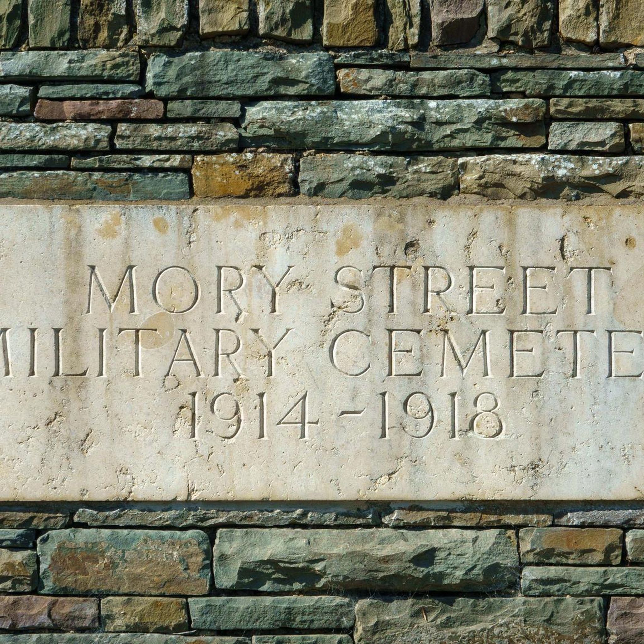
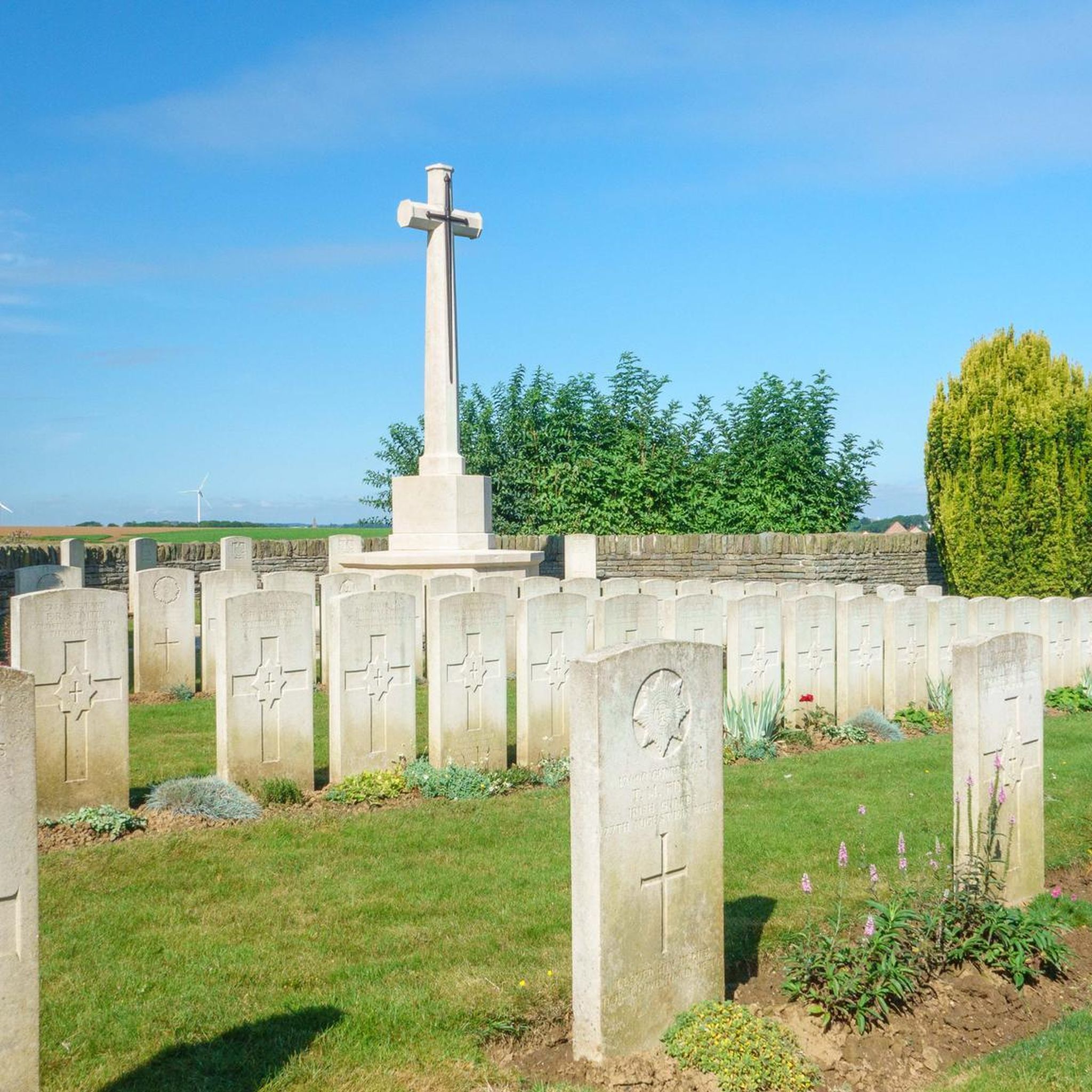
Mory Street Military Cemetery is a British military cemetery located in Saint-Léger, Pas-de-Calais. The cemetery was laid out in 1917 and designed by William Cowlishaw. It commemorates 66 First World War soldiers, 5 of whom are unidentified. The cemetery has a square plan with a semi-circular projection containing the Cross of Sacrifice.
8
0
Frequently Asked Questions
How many gravel bike trails are available around Saint-Léger?
There are 4 gravel bike routes detailed in this guide for the Saint-Léger area, offering a range of difficulties from easy to difficult. These routes allow you to explore the local landscapes and historical sites.
What kind of terrain can I expect on gravel bike trails near Saint-Léger?
The gravel bike trails around Saint-Léger, particularly in the region associated with the guide's routes, traverse undulating terrain, often characterized by green meadows and traditional hedgerows. You'll find varied elevations, from gentle slopes to more challenging ascents, typical of the countryside in areas like the Pays d'Auge foothills or the historical battlefields of the Somme.
Are there any easy gravel bike routes suitable for beginners or families?
Yes, for an easier ride, consider the Saint-Léger Church – Boisleux-St-Marc loop from Boyelles. This route is rated easy, covering approximately 21.5 km with manageable elevation changes, making it a good option for those looking for a less strenuous gravel biking experience.
What are some of the longer or more challenging gravel bike routes in the area?
For a more challenging and longer ride, the Hibers Trench Cemetery – Mory Street Military Cimetery loop from Haucourt is a difficult route spanning over 62 km with significant elevation gain. Another difficult option is The two Towers – Abbey of Mont-Saint-Éloi loop from Beaurains, which is about 40 km long.
What historical sites or landmarks can I see along the gravel bike trails?
The routes around Saint-Léger are rich in history, particularly related to WWI. You can visit sites like the Hibers Trench Cemetery and the area around 1917 — Écoust-Saint-Mein. The The two Towers – Abbey of Mont-Saint-Éloi loop from Beaurains also takes you past significant historical structures.
Are there any circular gravel bike routes available?
Yes, all the routes featured in this guide are circular, allowing you to start and end at the same point. Examples include the Mory Street Military Cimetery – 1917 — Écoust-Saint-Mein loop from Boyelles and The Scarpe by bike – Biache-Saint-Vaast marshes loop from Vis-en-Artois, which offers a moderate challenge.
What do other gravel bikers say about the trails in Saint-Léger?
The komoot community highly rates the gravel biking experience in Saint-Léger, with an average score of 5.0 stars. Riders often appreciate the blend of scenic countryside and historical points of interest found along the routes.
Are there any specific natural features or waterways to look out for?
While the immediate guide area focuses on historical landscapes, the broader region of Saint-Léger (depending on the specific location) can feature serene waterways and marshlands. For instance, the The Scarpe by bike – Biache-Saint-Vaast marshes loop from Vis-en-Artois specifically highlights marshland scenery.
What is the best time of year for gravel biking in Saint-Léger?
The best time for gravel biking in the Saint-Léger region generally depends on the specific location. For areas with rolling hills and woodlands, spring and autumn offer pleasant temperatures and beautiful scenery. If you're in a more mountainous Saint-Léger, summer provides access to higher elevations, while spring and autumn are ideal for lower paths. Always check local weather conditions before you go.
Are there any other attractions nearby that I can combine with a gravel bike tour?
Beyond the historical sites directly on the routes, you can explore other local attractions. These include the Chapel of Our Lady of La Salette, Bapaume Town Hall, and the Monument to Abel Guidet, which are all points of interest in the wider Saint-Léger area.
Most popular routes around Saint-Léger
Most popular attractions around Saint-Léger

Get inspired with the komoot mobile app


Explore more
Browse the best Gravel rides in other regions.
