The best gravel rides around Neuchâtel-Urtière
4.0
(2)
14
riders
4
rides
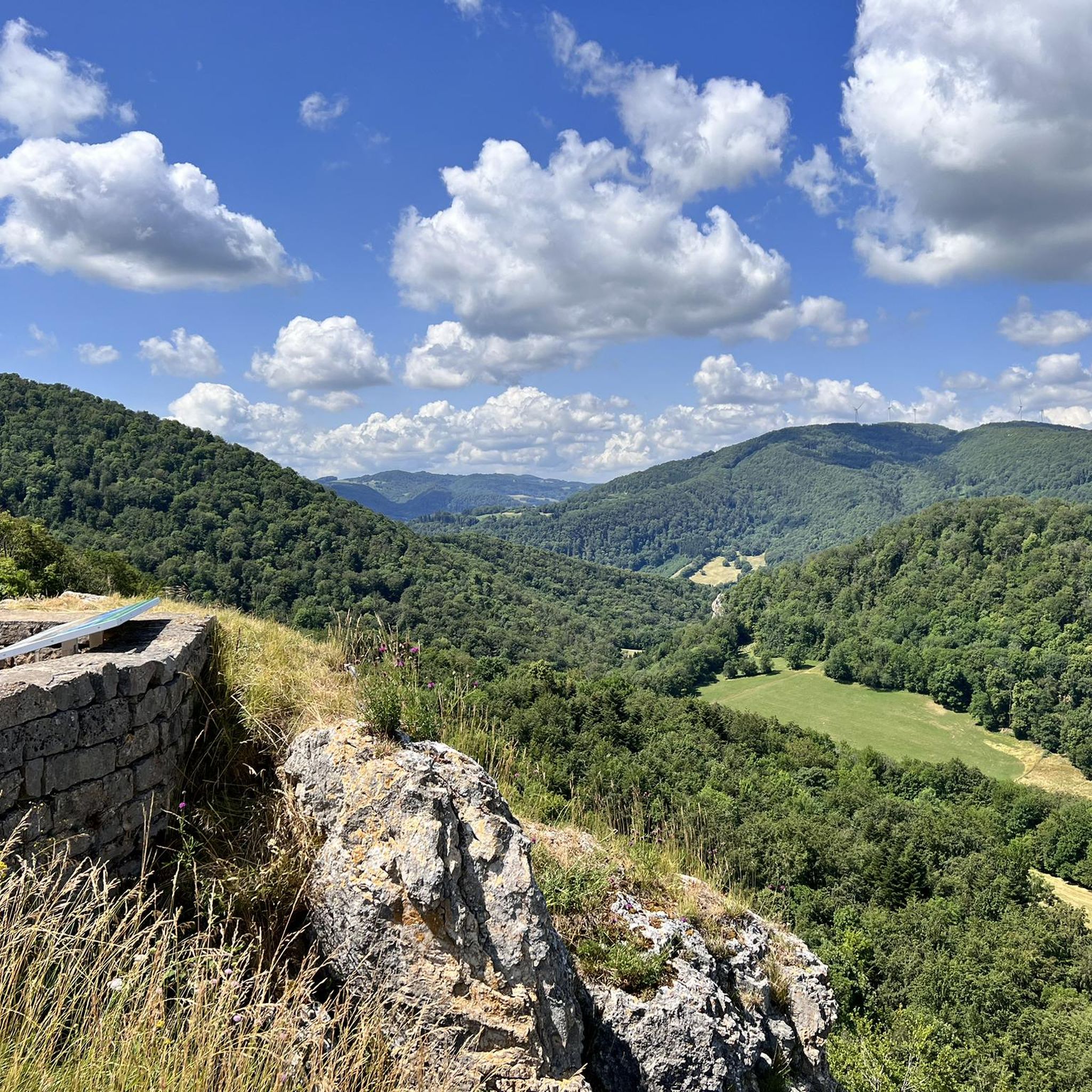
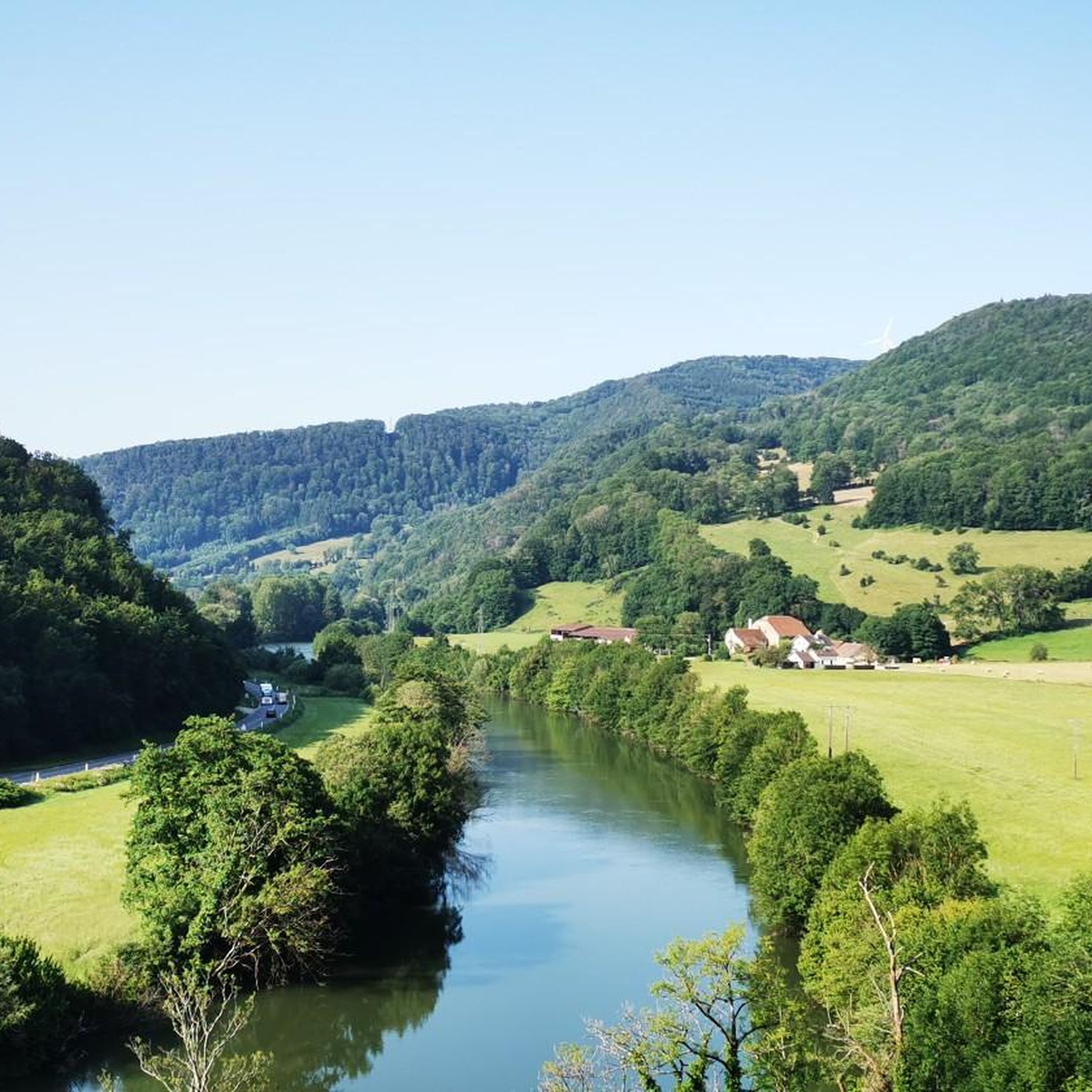
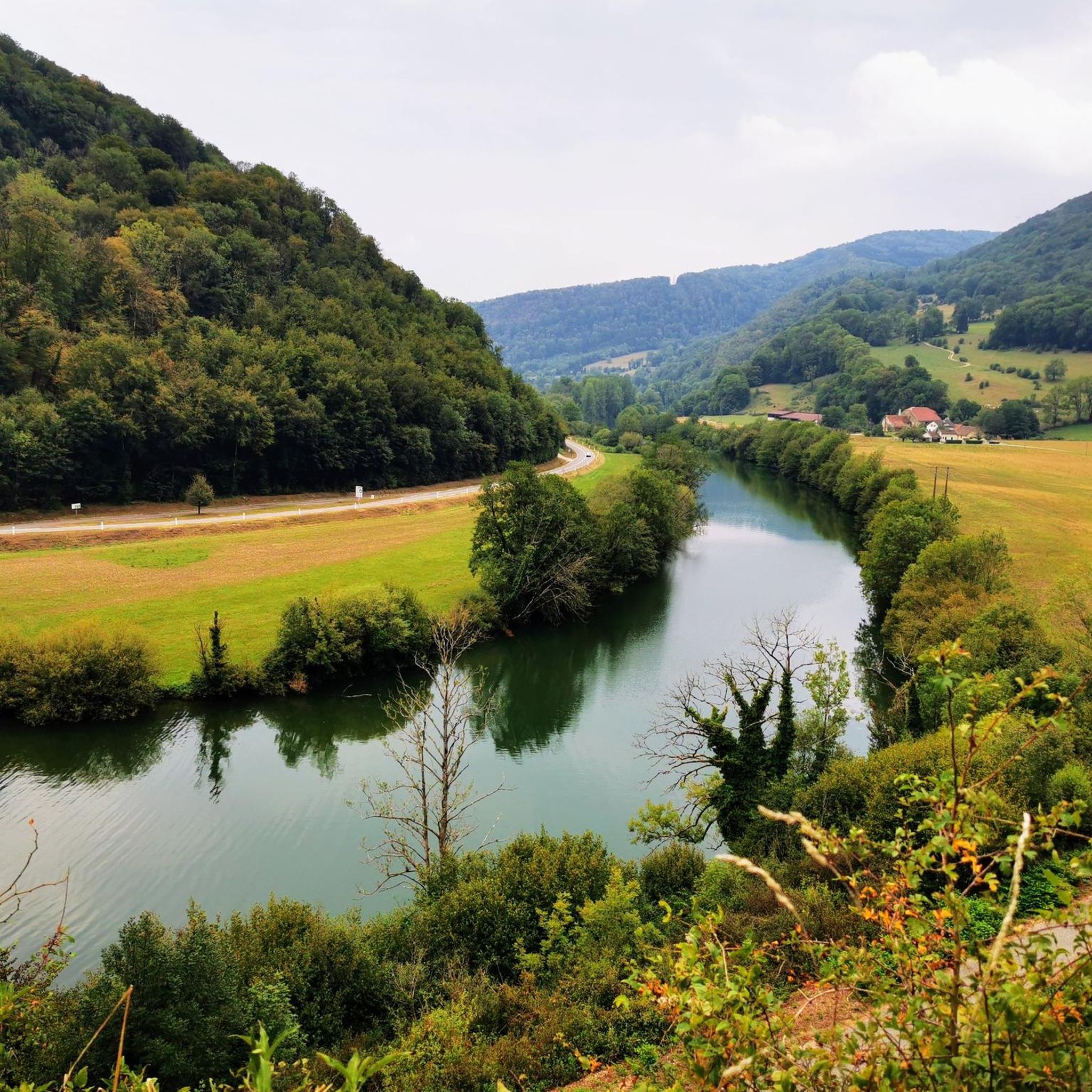
Gravel biking around Neuchâtel-Urtière offers diverse terrain within the Doubs department of France, nestled in the Jura Mountains. The region features extensive forests, deep valleys, and vast plateaus, providing varied topography for cyclists. Routes often follow the Doubs River, known for its scenic landscapes and rocky formations. This area combines paved sections with unpaved paths, making it suitable for gravel bikes.
Best gravel bike trails around Neuchâtel-Urtière
- The most popular gravel bike trail is Rhine-Rhone Canal – Bike path along the Doubs loop from Valonne, a 64.6 miles (104.0 km) trail that takes 7 hours 29 minutes to complete. This difficult route follows the Doubs river and offers views of the Rhine-Rhone Canal.
- Another top favourite among local gravel bikers is Rhine-Rhone Canal – Le Doubs loop from Lougres, a moderate 28.0 miles (45.0 km) path. This route explores the Doubs river valley, featuring sections along the Rhine-Rhone Canal.
- Local gravel bikers also love the Saint-Hippolyte village – Saint-Hippolyte loop from Thulay, a 34.6 miles (55.7 km) trail leading through the Saint-Hippolyte village area, often completed in about 4 hours 39 minutes.
- Gravel biking around Neuchâtel-Urtière is defined by dense forests, river valleys, and open plateaus. The network offers options for different ability levels, from moderate to challenging routes.
- The routes in Neuchâtel-Urtière are highly rated by the komoot community with an average score of 4.3 stars from over 10 reviews. More than 120 gravel bikers have used komoot to explore Neuchâtel-Urtière's varied terrain.
Last updated: July 5, 2026
2
riders
Hard gravel ride. Very good fitness required. Mostly paved surfaces. Suitable for all skill levels.
3
riders
26.7km
01:48
330m
330m
Moderate gravel ride. Good fitness required. Mostly paved surfaces. Suitable for all skill levels.

Sign up for free
3.0
(1)
5
riders
78.5km
05:26
1,290m
1,290m
Hard gravel ride. Very good fitness required. Mostly paved surfaces. Suitable for all skill levels.
5.0
(1)
2
riders
36.2km
02:04
240m
240m
Moderate gravel ride. Good fitness required. Mostly paved surfaces. Suitable for all skill levels.
2
riders
55.4km
03:31
720m
720m
Hard gravel ride. Very good fitness required. Mostly paved surfaces. Suitable for all skill levels.
Our route recommendations are based on thousands of hikes, rides, and runs completed by other people on komoot.
Start today with a free account
Your next adventure awaits.
Login or Signup

Tips from the Community


An impressively large amphitheater dating from Roman times
1
0

The town of Montbéliard was part of Württemberg for 400 years and was called “Mömpelgard”.
3
0

nice tour along chanels and rivers.. for now from Mulhouse to Besançon... and further... until Nevers
0
0

A change of direction to Mandeure is worthwhile, as the Roman amphitheater is located right at the town entrance on the right—freely accessible!
0
0

Great bike paths, very beautiful area.
0
0

A good place for a break in the shade of the trees. There are picnic benches.
0
0
Frequently Asked Questions
How many gravel bike trails are available around Neuchâtel-Urtière?
There are over 5 gravel bike trails documented on komoot for the Neuchâtel-Urtière region. These routes offer a variety of experiences, from moderate to difficult, catering to different skill levels.
What kind of terrain can I expect on gravel bike trails in Neuchâtel-Urtière?
The terrain around Neuchâtel-Urtière is diverse, featuring extensive forests, deep valleys, and vast plateaus within the Jura Mountains. You'll encounter a mix of paved sections and unpaved paths, making it ideal for gravel bikes. Routes often follow the scenic Doubs River, known for its rocky formations and varied topography.
Are there any easy gravel bike routes for beginners in Neuchâtel-Urtière?
Yes, there are moderate routes suitable for those looking for a less strenuous ride. For example, the Rhine-Rhone Canal – Le Doubs loop from Lougres is a moderate 45 km path that explores the Doubs river valley, offering a good balance of challenge and accessibility.
What are some challenging gravel bike trails in the area?
For experienced gravel bikers seeking a challenge, routes like the Rhine-Rhone Canal – Bike path along the Doubs loop from Valonne offer a difficult 104 km ride with significant elevation gain, following the Doubs river. Another demanding option is the Doubs – Saint-Hippolyte village loop from Saint-Hippolyte, which covers over 85 km with substantial climbing.
What can I see along the gravel bike trails in Neuchâtel-Urtière?
Many routes offer scenic views of the Doubs River and the surrounding Jura Mountains. You can also explore historical and natural landmarks. For instance, the area around Saint-Hippolyte village is featured on some trails, and you might pass by natural monuments like Fontaine de Roches or viewpoints such as Belvédère du Rocher du Bourbet.
Are there any long-distance gravel cycling routes in Neuchâtel-Urtière?
Yes, the region is known for longer routes that can be combined for multi-day adventures. The Rhine-Rhone Canal – Bike path along the Doubs loop from Valonne is a significant 104 km loop, and the Doubs – Saint-Hippolyte village loop from Saint-Hippolyte is another extensive route at over 85 km, providing excellent options for longer rides.
What do other gravel bikers enjoy most about gravel biking in Neuchâtel-Urtière?
The area is highly rated by the komoot community, with an average score of 4.3 stars from over 10 reviews. Reviewers often praise the diverse terrain, the beautiful river valleys, and the combination of challenging climbs with scenic, unpaved paths that make for a rewarding gravel biking experience.
Are there any circular gravel bike routes in the Neuchâtel-Urtière area?
Yes, many of the gravel routes in the region are designed as loops, allowing you to start and end at the same point. Examples include the Rhine-Rhone Canal – Le Doubs loop from Lougres and the Saint-Hippolyte village – Saint-Hippolyte loop from Thulay, which are popular choices for their circular nature.
What is the best time of year for gravel biking in Neuchâtel-Urtière?
The Jura Mountains region, including Neuchâtel-Urtière, is generally best for gravel biking from spring through autumn. During these seasons, the weather is more favorable, and the trails are typically clear of snow, allowing for comfortable riding through forests, valleys, and plateaus. Winter conditions can be challenging due to snow and ice.
Are there any routes that pass by historical sites or cultural points of interest?
Yes, some routes offer glimpses of the region's history. Neuchâtel-Urtière itself features the ruins of an ancient castle on a rocky promontory. You might also find routes near Saint-Hippolyte village, which has its own historical charm, or even the Château Peugeot, depending on the specific trail.
What are the elevation gains like on gravel trails in Neuchâtel-Urtière?
Elevation gains vary significantly across the trails. Moderate routes like the Rhine-Rhone Canal – Le Doubs loop from Lougres have around 320 meters of ascent. More difficult routes, such as the Rhine-Rhone Canal – Bike path along the Doubs loop from Valonne, can involve over 1100 meters of climbing, offering a substantial workout.
Most popular routes around Neuchâtel-Urtière
Most popular attractions around Neuchâtel-Urtière

Get inspired with the komoot mobile app


Explore more
Browse the best Gravel rides in other regions.
