The best walks and hikes around Marseilles-Lès-Aubigny
4.4
(11)
91
hikers
38
hikes
Hiking around Marseilles-Lès-Aubigny offers routes through a landscape shaped by its riverside location on the left bank of the Loire River and historical waterways. The terrain features gentle topography, with elevations ranging from 157 meters to 198 meters. Hikers can explore paths alongside the Canal du Berry and sections of the "La Loire à Vélo" cycle path, which are also suitable for walking. The area provides a blend of natural environments and historical points of interest, including the Aubois lock…
Last updated: July 4, 2026
4.6
(5)
13
hikers
17.2km
04:39
230m
230m
Moderate hike. Good fitness required. Easily-accessible paths. Suitable for all skill levels.
3.0
(1)
5
hikers
9.96km
02:41
130m
130m
Moderate hike. Good fitness required. Easily-accessible paths. Suitable for all skill levels.

Sign up for free
5.0
(1)
6
hikers
6.60km
01:46
70m
70m
Easy hike. Great for any fitness level. Easily-accessible paths. Suitable for all skill levels.
7
hikers
4.14km
01:04
30m
30m
Easy hike. Great for any fitness level. Easily-accessible paths. Suitable for all skill levels.
3
hikers
14.2km
03:43
110m
110m
Moderate hike. Good fitness required. Easily-accessible paths. Suitable for all skill levels.
Get access to more routes and recommendations from other explorers.
Sign up for free
Already have an account?
Our route recommendations are based on thousands of hikes, rides, and runs completed by other people on komoot.
Start today with a free account
Your next adventure awaits.
Login or Signup
Popular around Marseilles-Lès-Aubigny
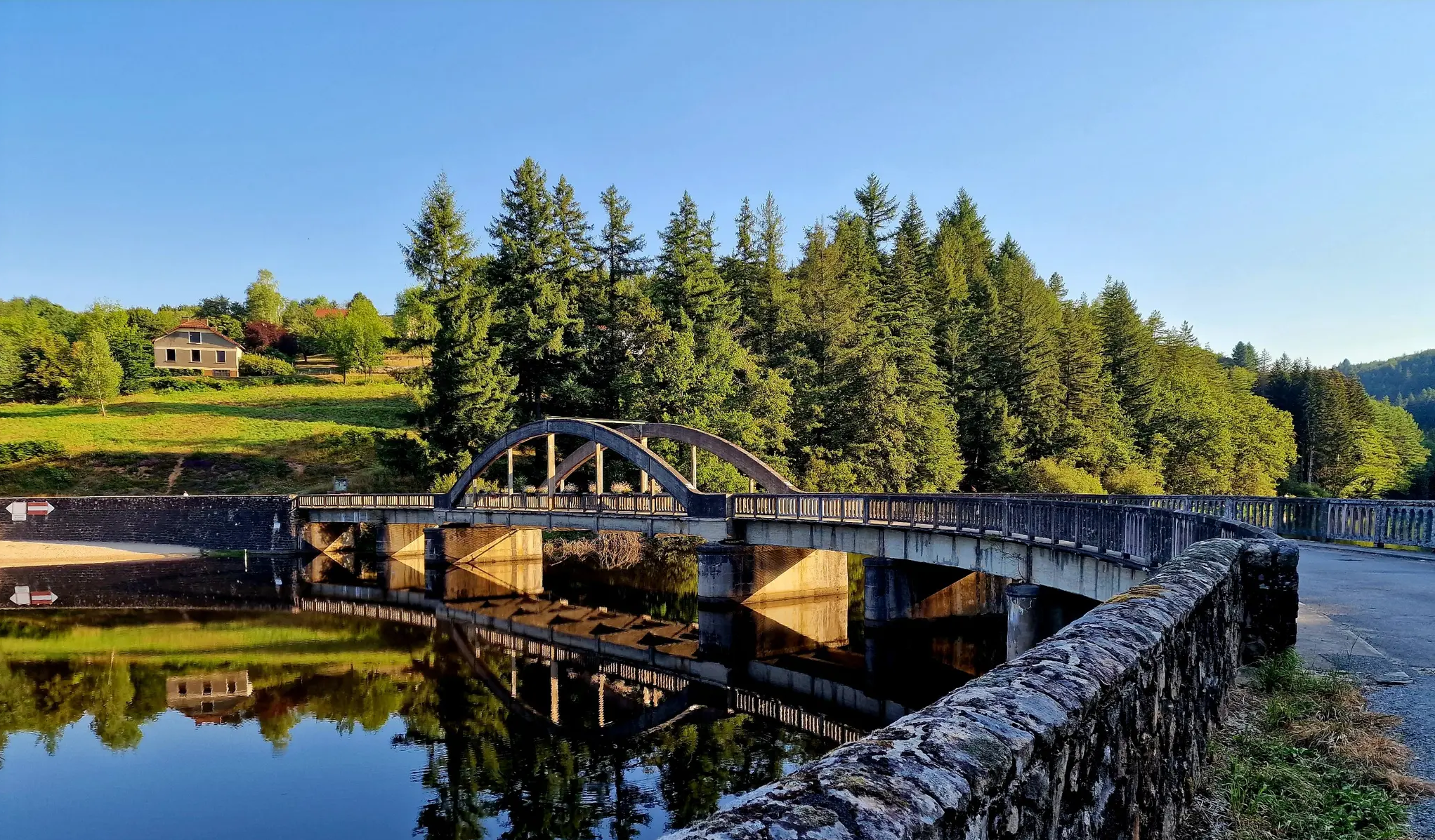
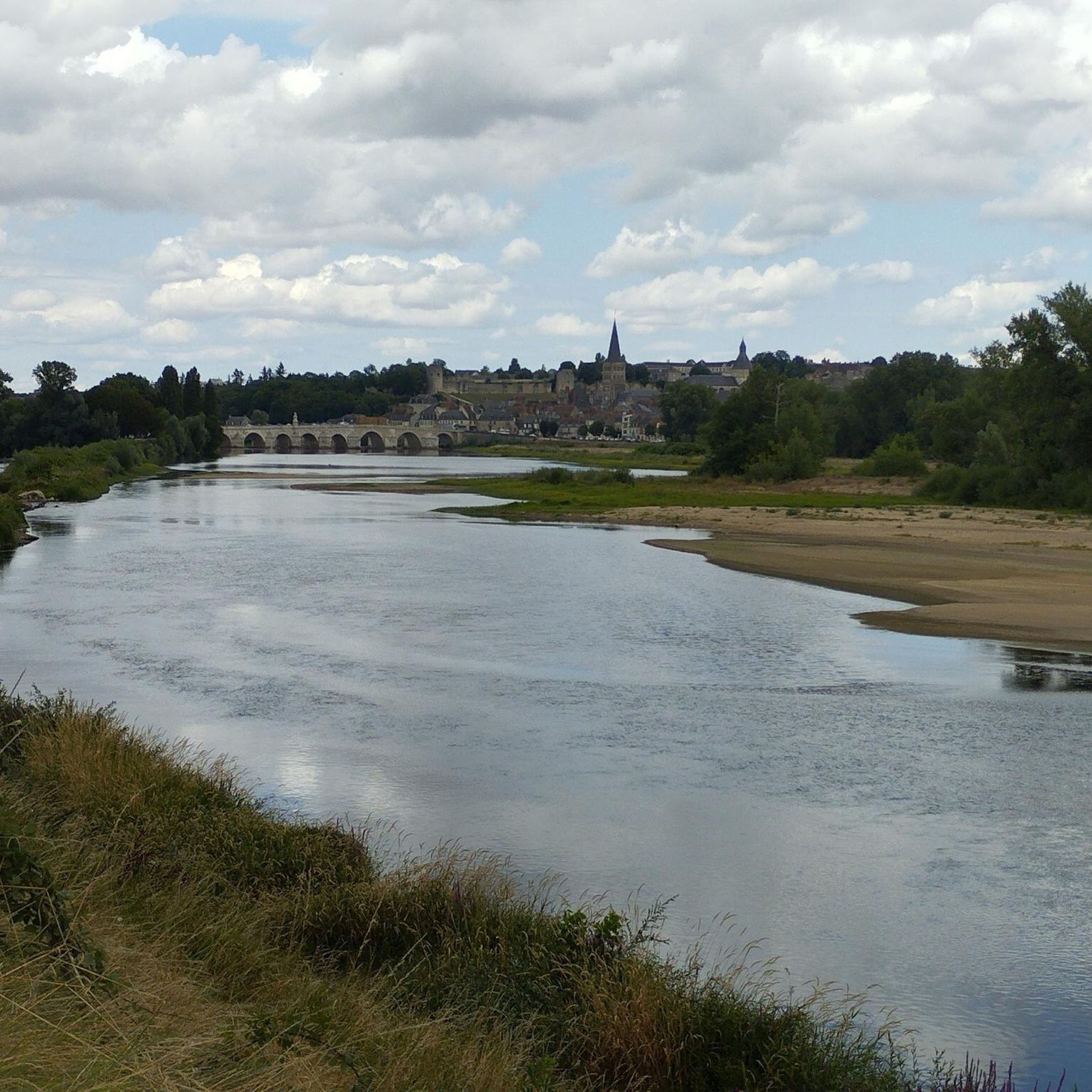
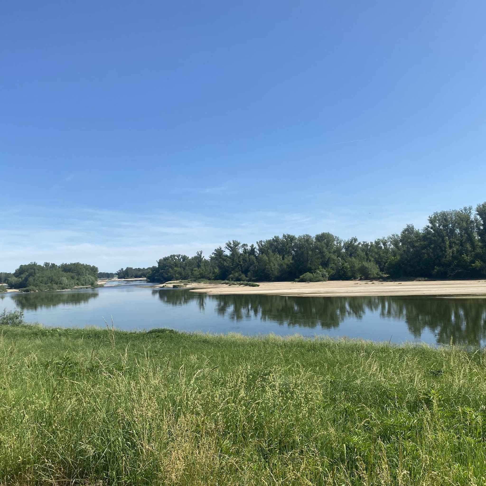
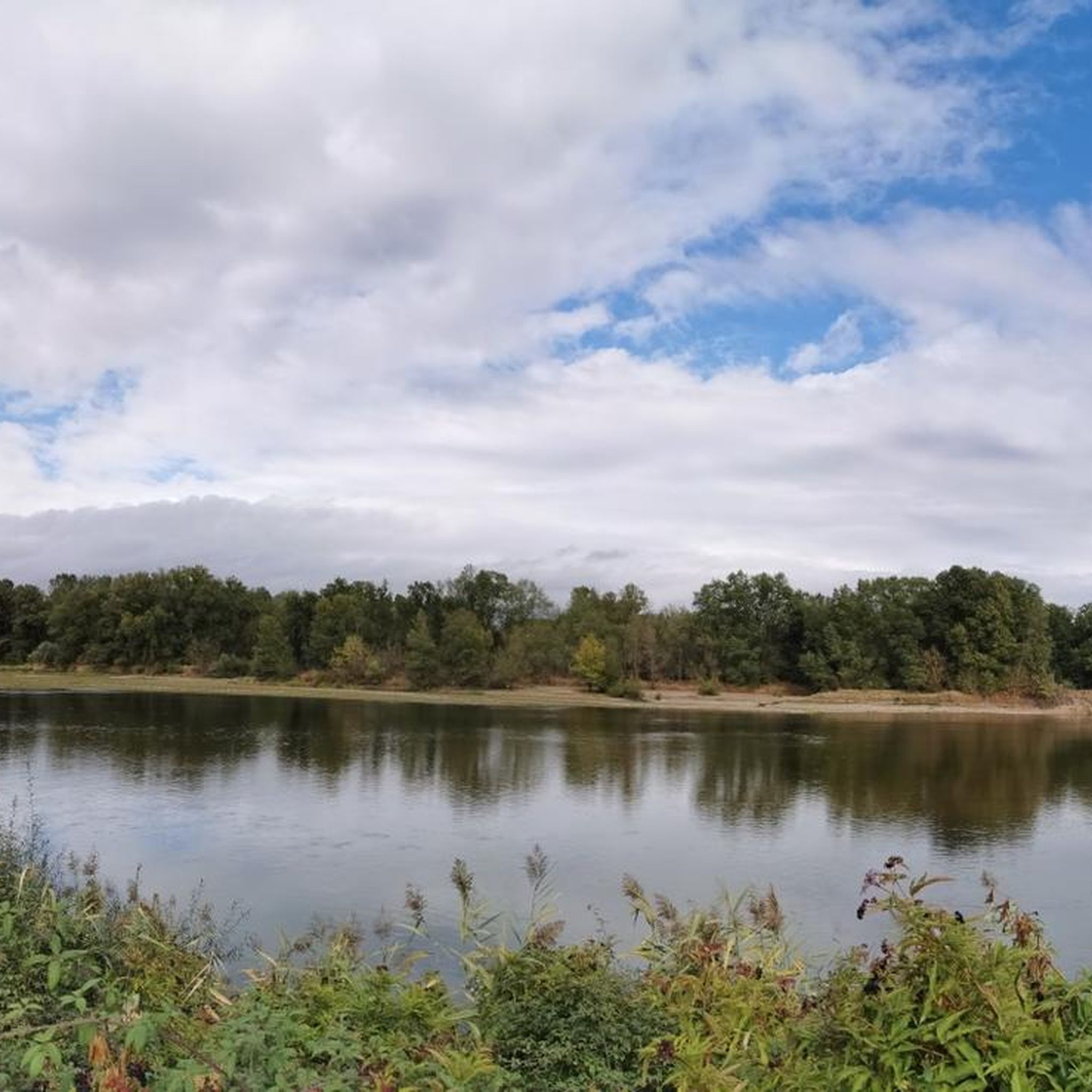
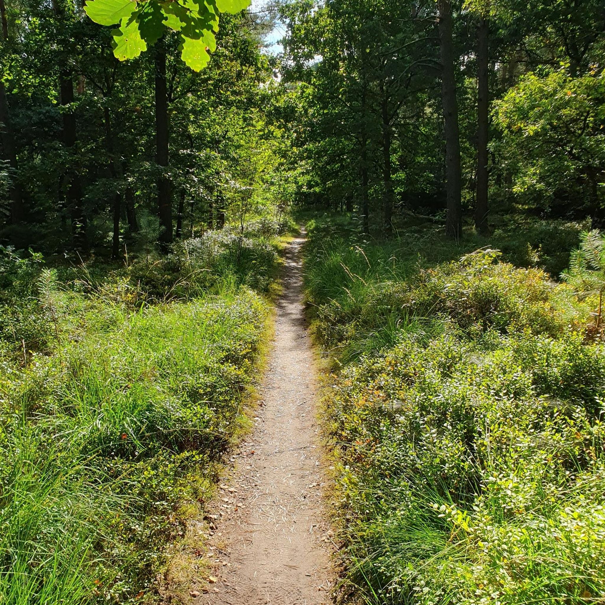
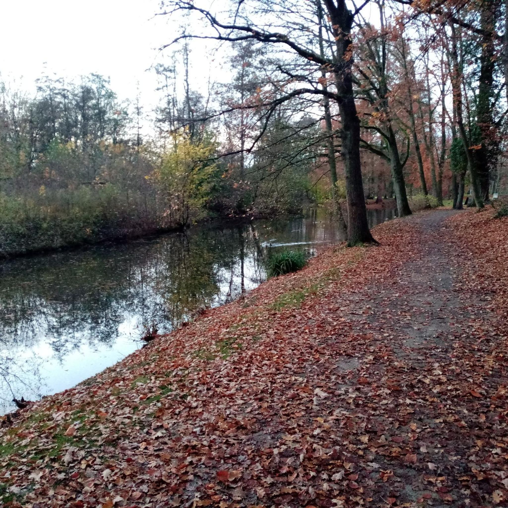
Other adventures around Marseilles-Lès-Aubigny

Tips from the Community

pleasant village. large playground.
0
0

beautiful descent to get there, then a nice little stream, majestic tree, memorial stele, rest area
0
0

Frequently Asked Questions
How many hiking trails are available around Marseilles-Lès-Aubigny?
There are nearly 30 hiking trails around Marseilles-Lès-Aubigny, offering a variety of options for different skill levels. You'll find a good mix of easy and moderate routes to explore the region's unique landscapes.
What is the terrain like for hiking in Marseilles-Lès-Aubigny?
The terrain around Marseilles-Lès-Aubigny is generally gentle, characterized by paths alongside the Canal du Berry and riverside trails by the Loire River. You'll encounter pleasant countryside, fields, and wooded areas, with elevations ranging from 157 to 198 meters. Many routes also utilize sections of the "La Loire à Vélo" cycle path, which are well-maintained and suitable for walking.
Are there easy hiking options for beginners or casual walkers?
Yes, there are 12 easy hiking routes available. A great option for a relaxed walk is the Loire Valley loop from Tronsanges, an easy 4.1-mile (6.6 km) path that offers beautiful views of the Loire River and its natural surroundings.
Are there any longer or more challenging hikes?
While there are no difficult routes, Marseilles-Lès-Aubigny offers 17 moderate hikes for those looking for a longer adventure. The Champvoux Church – Tigran Chapel loop from Chaulgnes is a popular moderate trail, covering 10.7 miles (17.2 km) and exploring the wider area with varied scenery.
What natural features or landmarks can I see while hiking?
The region is defined by its waterways. You can explore paths along the Canal du Berry and the Loire River. Notable natural features include the junction of the Canal latéral à la Loire with the Canal du Berry. Don't miss the Aubois Lock, a significant point of interest on the Loire lateral canal, or the scenic Cycle path along the Loire.
Are there circular hiking routes in the area?
Yes, many of the trails around Marseilles-Lès-Aubigny are circular, allowing you to start and end at the same point. Examples include the Champvoux Church – Tigran Chapel loop from Chaulgnes and the Loire Valley loop from Tronsanges. These loops are perfect for exploring without retracing your steps.
What do other hikers say about the trails in Marseilles-Lès-Aubigny?
The trails in Marseilles-Lès-Aubigny are highly rated by the komoot community, with an average score of 4.4 stars from 9 reviews. Hikers often praise the quiet, natural environments and the well-maintained paths along the canals and rivers.
Is Marseilles-Lès-Aubigny suitable for family hikes?
Absolutely. The gentle terrain and numerous easy routes make Marseilles-Lès-Aubigny a great destination for family hikes. Trails along the canals and the Loire River are generally flat and offer pleasant, safe environments for all ages. Consider the Town Hall of Pougues-les-Eaux loop from Pougues-les-Eaux for a shorter, family-friendly option.
Can I bring my dog on the hiking trails?
While specific regulations can vary, generally, dogs are welcome on most hiking trails in the French countryside, especially if kept on a leash. It's always a good idea to be mindful of local signage, especially near agricultural areas or nature reserves. Please ensure your dog is under control and that you clean up after them.
What is the best time of year for hiking in Marseilles-Lès-Aubigny?
The spring and autumn months typically offer the most pleasant hiking conditions, with mild temperatures and beautiful scenery. Summer can also be enjoyable, especially along the shaded canal paths, but be prepared for warmer weather. Winter hiking is possible, but some paths might be muddy, and daylight hours are shorter.
Are there any interesting points of interest related to the 'Loire à Vélo' route?
Yes, the region is closely linked to the famous 'Loire à Vélo' cycle path. You can find the Kilometre 0 of the Loire à Vélo trail nearby in La Guerche-sur-l'Aubois. Many hiking routes run alongside or incorporate sections of this well-maintained path, offering superb views of the wild Loire River.
Are there any other notable routes besides the most popular ones?
Beyond the most popular trails, you can explore routes like the Loire Valley – Église Saint-Martin ... loop from Germigny-sur-Loire, a moderate 8.8-mile (14.2 km) hike that offers more opportunities to discover the local landscape and historical elements.
Most popular routes around Marseilles-Lès-Aubigny
Most popular attractions around Marseilles-Lès-Aubigny

Get inspired with the komoot mobile app


Explore more
Browse the best Hikes in other regions.
