The best gravel rides around Sigonce
4.0
(2)
22
riders
6
rides
Gravel biking around Sigonce offers access to a network of routes across varied terrain in the Alpes-de-Haute-Provence region. The landscape features a blend of quiet country roads, gravel paths, and rugged tracks, including areas with a "mineral atmosphere" and geological formations like the "Terres Noires." Riders can expect to traverse valleys and hills, with routes often providing views of the Forcalquier region and the Durance valley. This diverse natural setting contributes to the distinct character of its gravel bike trails.
…Last updated: July 4, 2026
4
riders
32.0km
02:46
810m
810m
Hard gravel ride. Very good fitness required. Mostly paved surfaces. Suitable for all skill levels.
3.0
(1)
4
riders
52.1km
04:12
1,080m
1,080m
Hard gravel ride. Very good fitness required. You may need to push your bike for some segments of this route.

Sign up for free
6
riders
59.6km
04:33
1,630m
1,630m
Hard gravel ride. Very good fitness required. Mostly paved surfaces. Suitable for all skill levels.
4
riders
44.4km
03:41
1,180m
1,180m
Hard gravel ride. Very good fitness required. Mostly paved surfaces. Suitable for all skill levels.
2
riders
27.8km
02:18
720m
720m
Hard gravel ride. Very good fitness required. Mostly paved surfaces. Suitable for all skill levels.
Our route recommendations are based on thousands of hikes, rides, and runs completed by other people on komoot.
Start today with a free account
Your next adventure awaits.
Login or Signup
Tips from the Community


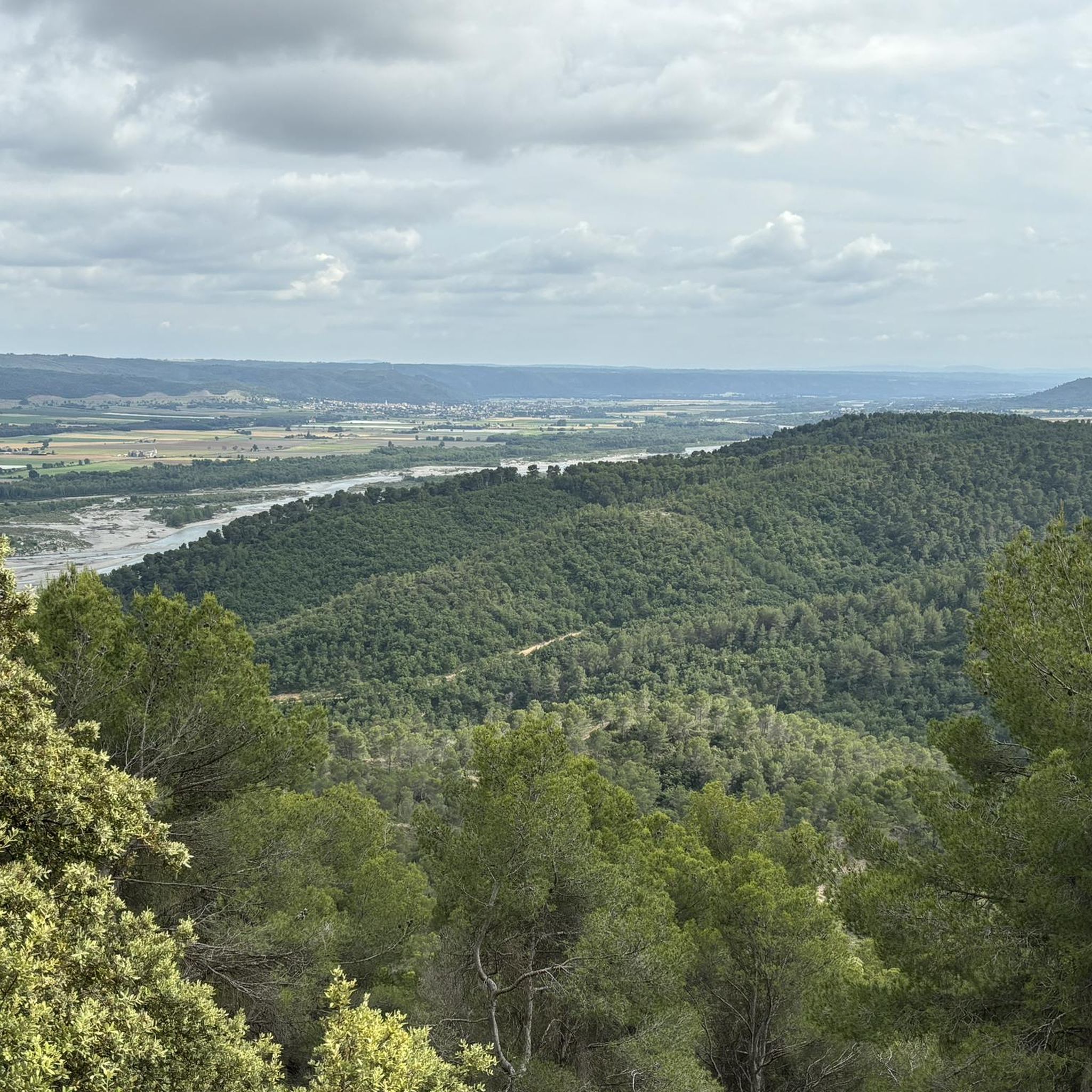
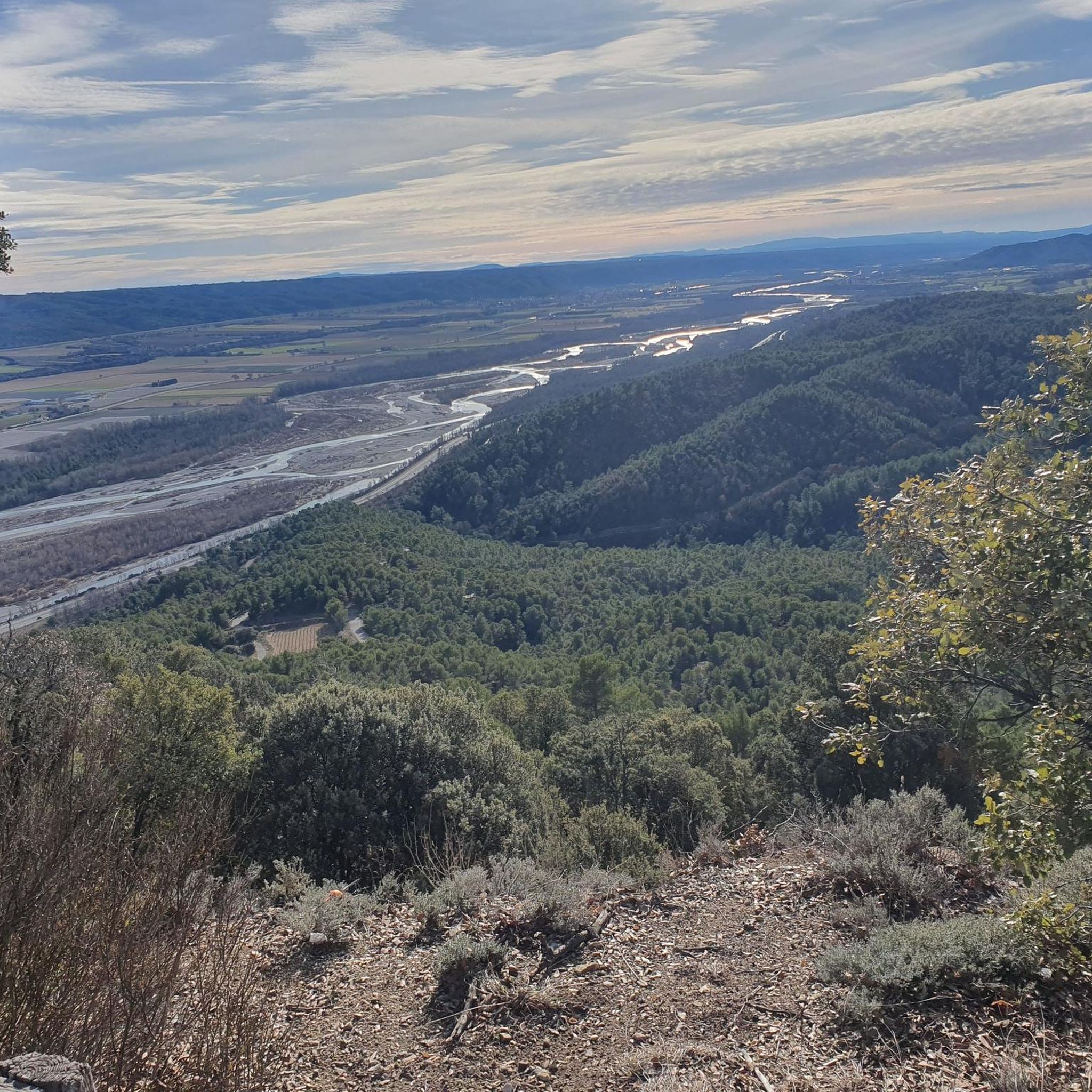
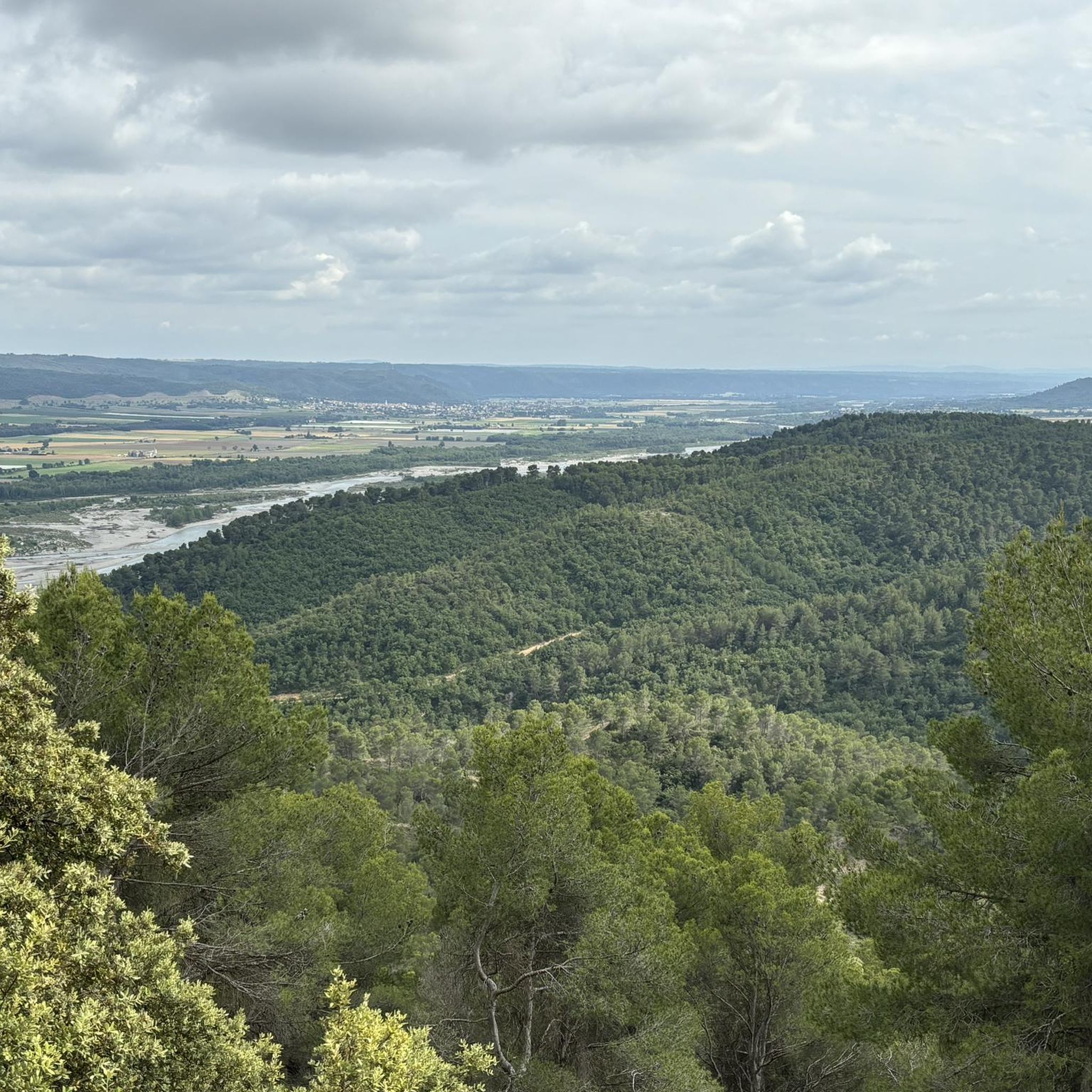
best panoramic view, absolutely recommended!
0
0

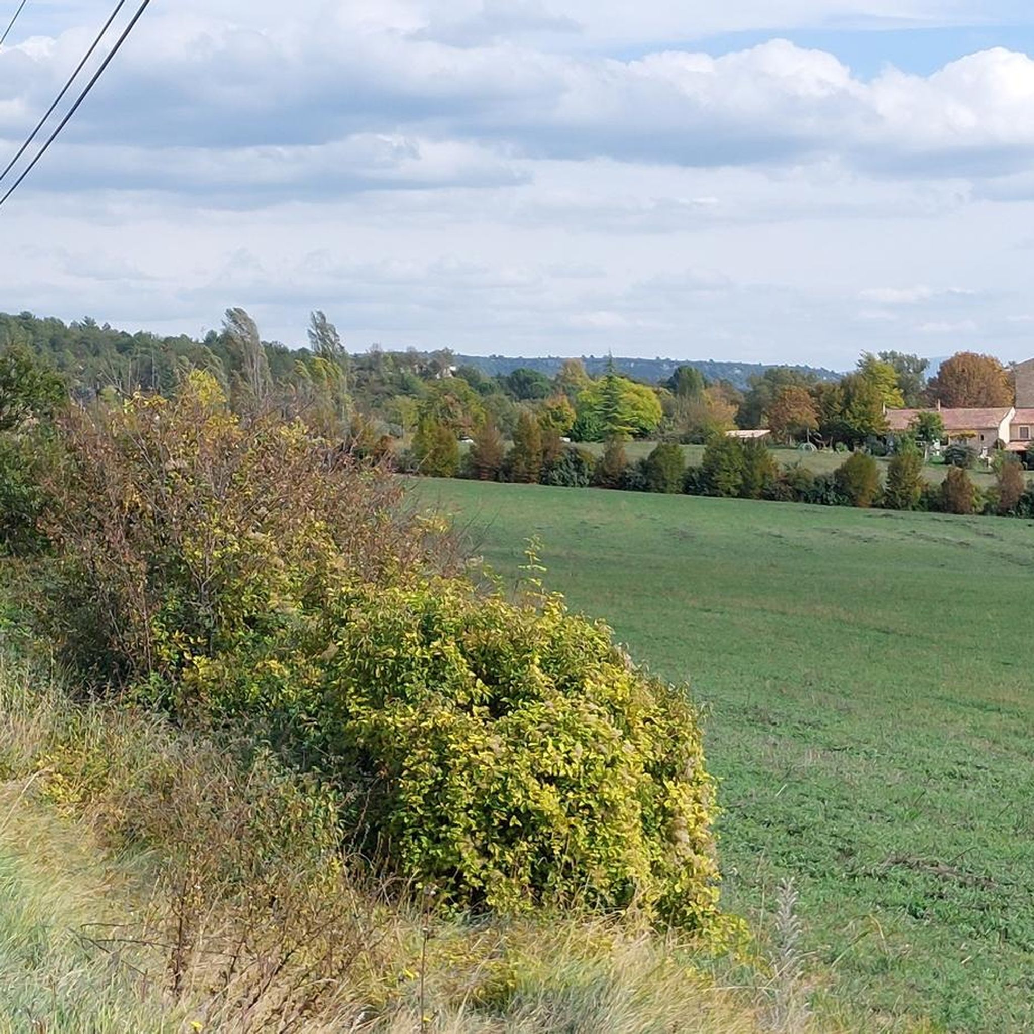
Superb place, under grandiose trees flamboyant in autumn
0
0

At 591m above sea level, the Col de la Mort d'Imbert, despite its name, isn't particularly daunting. Indeed, from Manosque or Dauphin, the climb is easy, with a gentle slope (although from Dauphin it's less regular). From the pass, you can continue the climb on the aptly named Bellevue paths.
0
0


The Ventoux's little brother. With a length of 17.7 kilometres and an ascent of 1054 vertical metres and a gradient of 5.9% on average, which implies a difficulty level of 688. The summit of the climb is located at 1746 metres above sea level. At the top the views are fabulous both towards Ventoux itself and towards the Alps. A long, very pleasant and fun climb that is worth the effort with percentages that remain around 5/6/7% and some peaks of up to 9.3%. The last 2 kilometres are very easy.
2
0


Frequently Asked Questions
What kind of terrain can I expect on gravel bike trails around Sigonce?
The region around Sigonce offers a diverse mix of terrain, from quiet country roads and wide gravel paths to more rugged forest tracks and trails. You'll encounter varied landscapes, including farmland with vineyards and olive orchards, forested hills like the Foret du Prieuré, and areas with a unique "mineral atmosphere" featuring geological formations such as the "Terres Noires" near Digne-les-Bains.
Are there challenging gravel bike routes available near Sigonce?
Yes, the gravel bike routes around Sigonce are generally considered challenging. All five routes listed in this guide are rated as difficult, featuring significant elevation gains and diverse terrain. For example, the Montagne de Lure Pass – Saint-Étienne-les-Orgues loop involves over 1180 meters of ascent.
What natural landmarks can I see while gravel biking in the Sigonce area?
The region is rich in unique natural landmarks. You can explore geological wonders like The Penitents of Les Mées, dramatic rock formations, or the intriguing The Mourres Rocks, often described as 'stone mushrooms.' Some routes, like the Les Rochers des Mourres – Forcalquier loop, pass directly by these formations.
Are there any scenic loops that explore the local forests?
Absolutely. Routes like the Forcalquier – Pélicier State Forest loop and the Pélicier State Forest – Saint Michel l'Observatoire loop take you through the forested hills of the Pélicier State Forest, offering a mix of tracks and paths amidst the trees.
What do other gravel bikers enjoy about the Sigonce area?
The gravel biking routes around Sigonce are highly rated by the komoot community, with an average score of 4.25 stars from over 5 reviews. Riders often praise the diverse natural settings, the challenging nature of the rides, and the unique geological features that make the landscape so distinct.
Can I find routes that offer views of the wider region?
Many routes provide expansive views of the surrounding Provençal landscape. For instance, the Stone Bridge – Forcalquier loop offers vistas over the Forcalquier region, and other trails traverse valleys and hills, providing perspectives of the Durance valley and beyond.
When is the best time of year for gravel biking in Sigonce?
The broader Haute-Provence region, including Sigonce, is particularly beautiful in late spring and early summer, especially June, when the lavender fields are in bloom. The weather is generally pleasant for cycling during spring and autumn. Summers can be hot, while winters are milder but may have cooler temperatures.
Are there any specific geological features to look out for on the trails?
Beyond the famous Penitents of Les Mées and The Mourres Rocks, the region is known for its unique geological formations. Keep an eye out for the "Terres Noires" or "Robines" near Digne-les-Bains, which are fascinating black marl landscapes that add a distinct character to some routes.
Are there any routes that pass through or near towns where I could stop for refreshments?
Several routes start and end in or near towns like Forcalquier, which is a charming settlement with amenities. For example, the Les Rochers des Mourres – Forcalquier loop and the Forcalquier – Pélicier State Forest loop both begin and end in Forcalquier, making it convenient for pre- or post-ride stops.
What kind of natural environment defines the gravel biking experience around Sigonce?
The gravel biking experience around Sigonce is defined by its stunning and varied natural environment. You'll ride through a mix of agricultural lands, dense forests, and areas with a distinct "mineral atmosphere." The proximity to the Luberon Natural Regional Park also means access to a rich tapestry of landscapes, from rolling lavender fields to hillside hamlets.
Are there any specific routes that offer a good overview of the region's diverse landscapes?
The Pélicier State Forest – Saint Michel l'Observatoire loop, for instance, provides a good cross-section of the area's varied landscapes, moving through forests and offering views over the Forcalquier region. Many routes are designed to showcase the blend of natural and cultivated scenery characteristic of Haute-Provence.
Most popular attractions around Sigonce

Get inspired with the komoot mobile app


Explore more
Browse the best Gravel rides in other regions.
